Boundary

Settlement in Derbyshire / Leicestershire South Derbyshire

England

Boundary

Power poles in Harry's Wood A lane has been left clear around the power lines, which also allows walking access. The wood is open-access but too densely planted for that to mean anything unless paths are maintained. Harry's Wood is part of the National Forest, planted with 70% oak and mixed with field maple and rowan, birch and alder.
Power poles in Harry's Wood Credit: Ian Calderwood

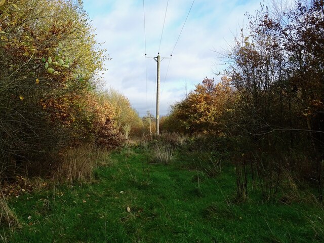
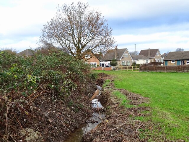
Boundary is a small village located on the border of Derbyshire and Leicestershire, in the East Midlands region of England. Situated in the National Forest, it is surrounded by picturesque countryside, offering a peaceful and idyllic setting for its residents and visitors.

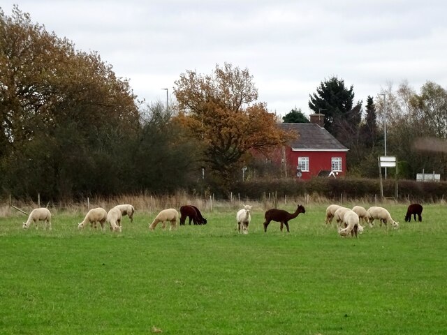
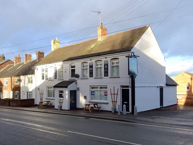
The village is primarily residential, with a population of around 500 people. It boasts a close-knit community that takes pride in its heritage and maintains a strong sense of local identity. The architecture in Boundary reflects its rural character, with charming cottages and historic buildings dotting the landscape.

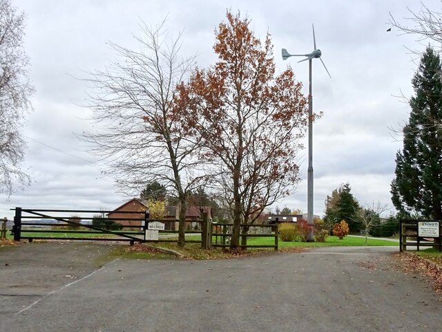
Despite its small size, Boundary has a range of amenities to cater to its residents' needs. There is a local primary school, providing education for children in the village and the surrounding areas. Additionally, the village has a community center that serves as a hub for social gatherings and events.

Nature enthusiasts and outdoor lovers will find plenty to explore in Boundary and its surroundings. The village offers easy access to the National Forest, which provides opportunities for scenic walks, cycling, and wildlife spotting. The nearby Staunton Harold Reservoir is a popular destination for water-based activities such as fishing and sailing.

Boundary's central location makes it well-connected to larger towns and cities. The city of Derby is approximately 15 miles to the north, while Leicester is around 20 miles to the south. This proximity allows residents to enjoy the benefits of rural living while still having access to urban amenities and employment opportunities.

In summary, Boundary is a serene village nestled in the heart of the East Midlands countryside. Its rich natural surroundings, close community ties, and convenient location make it an attractive place to live or visit.

If you have any feedback on the listing, please let us know in the comments section below.

Boundary Images

Images are sourced within 2km of 52.766718/-1.5025609 or Grid Reference SK3318. Thanks to Geograph Open Source API. All images are credited.

Power poles in Harry's Wood A lane has been left clear around the power lines, which also allows walking access. The wood is open-access but too densely planted for that to mean anything unless paths are maintained. Harry's Wood is part of the National Forest, planted with 70% oak and mixed with field maple and rowan, birch and alder.
Power poles in Harry's Wood
A lane has been left clear around the power lines, which also allows walking access. The wood is open-access but too densely planted for that to mean anything unless paths are maintained. Harry's Wood is part of the National Forest, planted with 70% oak and mixed with field maple and rowan, birch and alder.
Public footpath to Smisby An old field path, marked on 19th century maps, which has been incorporated into the National Forest Way.
Public footpath to Smisby
An old field path, marked on 19th century maps, which has been incorporated into the National Forest Way.
Wind turbine at Hall Farm There was a flour windmill here in the 19th century. Now there is a modern wind turbine generating electricity.
Wind turbine at Hall Farm
There was a flour windmill here in the 19th century. Now there is a modern wind turbine generating electricity.
Alpacas in Boundary The fields south of Boundary are occupied by the alpacas and other animals of Charnwood Forest Alpacas.
Alpacas in Boundary
The fields south of Boundary are occupied by the alpacas and other animals of Charnwood Forest Alpacas.
New building site In 2021, Owl Homes began work on a new building site on the edge of Woodville.
New building site
In 2021, Owl Homes began work on a new building site on the edge of Woodville.
Short Hazels Short Hazel Farm in mixed winter weather, with its solar farm in the background.
Short Hazels
Short Hazel Farm in mixed winter weather, with its solar farm in the background.
Covered reservoir off Manchester Lane
Horses in a ridge and furrow field
Goseley Community Centre
Footbridge at the entrance to Goseley Dale Wood A mix of oak, ash, willow and alder planted on former pony paddocks as part of the National Forest.
Footbridge at the entrance to Goseley Dale Wood
A mix of oak, ash, willow and alder planted on former pony paddocks as part of the National Forest.
The Joiners Arms Spruced up with a new paint job and furniture since <a href="https://www.geograph.org.uk/photo/5989280">SK3118 : High Street Woodville</a> was taken in 2018.
The Joiners Arms
Spruced up with a new paint job and furniture since SK3118 : High Street Woodville was taken in 2018.
Shell Brook Shell Brook runs along the edge of a small playing field, off Main Street. At the time of my visit, the channel had recently been dredged to remove mud and debris.
Shell Brook
Shell Brook runs along the edge of a small playing field, off Main Street. At the time of my visit, the channel had recently been dredged to remove mud and debris.
Construction at Bluebell Mews Bluebell Mews is a small development of new houses on the site of the demolished Bluebell Inn, pictured in <a href="https://www.geograph.org.uk/photo/2766859">SK3217 : Blackfordby Bluebell Inn</a>.
Construction at Bluebell Mews
Bluebell Mews is a small development of new houses on the site of the demolished Bluebell Inn, pictured in SK3217 : Blackfordby Bluebell Inn.
Blackfordby Village Hall Pictured in December with Santa and his reindeer outside.
Blackfordby Village Hall
Pictured in December with Santa and his reindeer outside.
Prestop Park Solar Farm A solar farm of 15.8 MW capacity, previously pictured in neighbouring grid-square: <a href="https://www.geograph.org.uk/photo/4708348">SK3316 : Prestop Park Solar Farm</a>.
Prestop Park Solar Farm
A solar farm of 15.8 MW capacity, previously pictured in neighbouring grid-square: SK3316 : Prestop Park Solar Farm.
Smisby - St.James Church
Smisby - Main Street (Junction with Derby Road)
Annwell Lane passing Bluebell Arboretum
Show me another place!

Boundary is located at Grid Ref: SK3318 (Lat: 52.766718, Lng: -1.5025609)

Administrative County: Derbyshire

District: South Derbyshire

Police Authority: Derbyshire

What 3 Words

///cube.swear.proper. Near Ashby de la Zouch, Leicestershire

Related Wikis

Bluebell Arboretum

Bluebell Arboretum is an arboretum and associated plant nursery near the village of Smisby in South Derbyshire, England. It is a Royal Horticultural Society...

Smisby

Smisby is an ancient manor, civil parish and small village in South Derbyshire, England. It is 4 miles (6.4 km) from Melbourne and near the Leicestershire...

Boundary, Derbyshire

Boundary is a large hamlet and as The Boundary a former civil parish, in South Derbyshire situated between the towns of Swadlincote and Ashby-de-la-Zouch...

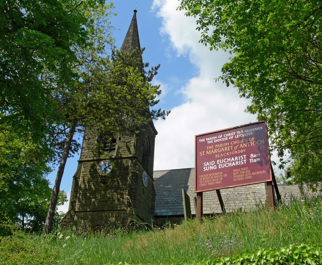
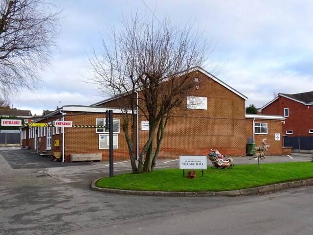
Church of St Margaret of Antioch, Blackfordby

The Church of St Margaret of Antioch is a church in Blackfordby, Leicestershire. It is a Grade II listed building. == History == === Exterior === The church...

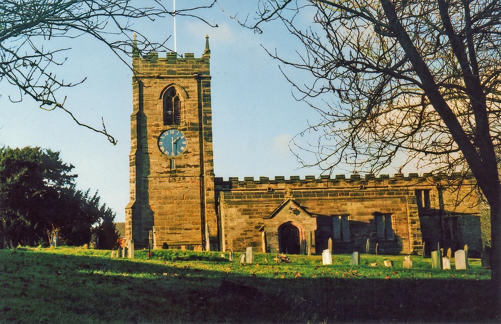
St James' Church, Smisby

St James’ Church, Smisby is a Grade I listed parish church in the Church of England in Smisby, Derbyshire. == History == The church is medieval with elements...

Blackfordby

Blackfordby is a small village and former civil parish, now in the parish of Ashby-de-la-Zouch, in the North West Leicestershire district, in the northwesternmost...

Smisby lock-up

The lock-up (or roundhouse) in Smisby, Derbyshire, England, is a village lock-up dating from the late 18th century. Such lock-ups were fairly common in...

Woodville railway station (England)

Woodville railway station is a former railway station on the Swadlincote Loop Line which served the village of Woodville, Derbyshire, England. == Opening... ==

Nearby Amenities

Located within 500m of 52.766718,-1.5025609
Bus Stop
Heath Lane
Bus: yes
Naptan AtcoCode: 260013221
Naptan Bearing: SW
Naptan CommonName: Heath Lane
Naptan Indicator: opp
Naptan Landmark: 57 Heath Lane
Naptan NaptanCode: leijdptj
Naptan Notes: Hourly - County
Naptan Street: Heath Lane
Naptan Verified: no
Public Transport: platform
Source: naptan_import
Lat/Long: 52.7653636/-1.5076437
Speed Camera
Direction: 270
Maxspeed: 40 mph
Lat/Long: 52.7674009/-1.5091922
Boundary
Place: hamlet
Source: OS OpenData StreetView
Lat/Long: 52.7671908/-1.5072565
Post Box
Operator: Royal Mail
Operator Wikidata: Q638098
Ref: DE11 1155
Lat/Long: 52.7674731/-1.5078335
Crossing: informal
Lat/Long: 52.7659161/-1.5012334
Man Made: water_tower
Lat/Long: 52.7678188/-1.505481
Bus Stop
Ivanhoe Store
Bus: yes
Public Transport: platform
Lat/Long: 52.7662562/-1.5017849
Bus Stop
Heath Lane
Bus: yes
Naptan AtcoCode: 100053824
Naptan NaptanCode: dbsjgajd
Public Transport: platform
Lat/Long: 52.7675805/-1.5065405
Bus Stop
Heath Lane
Bus: yes
Naptan AtcoCode: 260013219
Naptan NaptanCode: leijdptd
Public Transport: platform
Lat/Long: 52.7673654/-1.5084033
Generator Method: photovoltaic
Generator Output Electricity: yes
Generator Source: solar
Generator Type: solar_photovoltaic_panel
Location: roof
Power: generator
Lat/Long: 52.7675575/-1.5086173
Location Transition: yes
Power: pole
Lat/Long: 52.7646365/-1.5063447
Power: pole
Lat/Long: 52.7646332/-1.5054274
Power: pole
Lat/Long: 52.7646219/-1.5044805
Material: wood
Power: pole
Lat/Long: 52.7644255/-1.5033138
Material: wood
Power: pole
Lat/Long: 52.7642356/-1.5021926
Power: pole
Lat/Long: 52.7640554/-1.5010285
Power: pole
Lat/Long: 52.7646754/-1.4999074
Power: pole
Lat/Long: 52.7650179/-1.4993522
Power: pole
Lat/Long: 52.7648053/-1.4979145
Power: pole
Lat/Long: 52.7645959/-1.4965063
Waste Basket
Colour: green
Material: plastic
Operator: South Derbyshire District Council
Waste: trash
Lat/Long: 52.7657259/-1.4967614
The data included in this document is from www.openstreetmap.org. The data is made available under ODbL.

Have you been to Boundary?

Leave your review of Boundary below (or comments, questions and feedback).