Boulton Moor

Settlement in Derbyshire

England

Boulton Moor

Roundabout on the Derby Spur near Thulston
Roundabout on the Derby Spur near Thulston Credit: David Howard

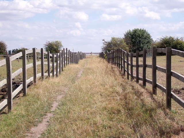
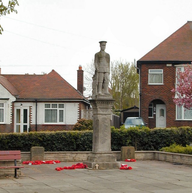
Boulton Moor is a small village located in the county of Derbyshire, England. It is situated approximately 7 miles east of the city of Derby and lies within the parliamentary constituency of Mid Derbyshire. The village is nestled between the larger settlements of Chellaston and Alvaston, and is surrounded by picturesque countryside.

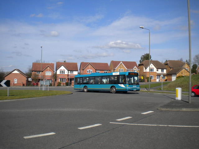
Boulton Moor is primarily a residential area, characterized by a mix of housing types ranging from quaint cottages to modern family homes. The village maintains a close-knit community feel, with a friendly and welcoming atmosphere. Amenities in Boulton Moor include a local primary school, a church, and a small convenience store.

One of the notable features of Boulton Moor is its proximity to the River Derwent, which flows just to the west of the village. This allows residents to enjoy scenic walks along the riverbank, as well as offering opportunities for fishing and boating.

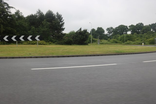
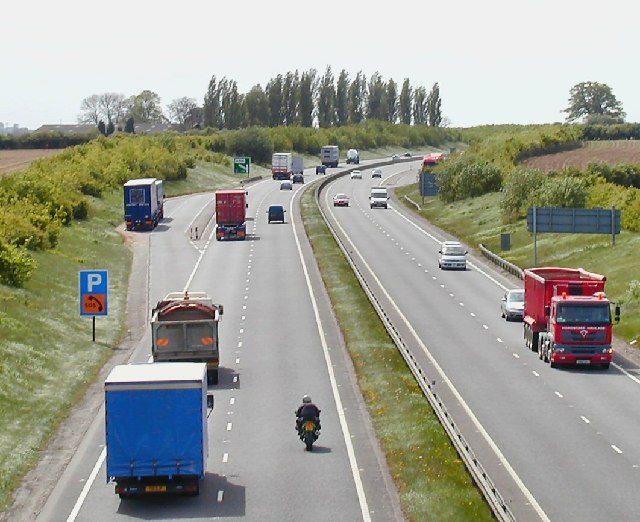
The village benefits from excellent transport links, with easy access to the A50 and A38 roads, providing connections to major cities such as Derby, Nottingham, and Birmingham. Additionally, the nearby East Midlands Airport is just a short drive away, offering convenient travel options for both domestic and international destinations.

Overall, Boulton Moor offers residents a peaceful and idyllic setting, with a range of amenities and convenient transport links. It is a popular choice for those seeking a rural lifestyle while still being within easy reach of urban centers.

If you have any feedback on the listing, please let us know in the comments section below.

Boulton Moor Images

Images are sourced within 2km of 52.878673/-1.429376 or Grid Reference SK3831. Thanks to Geograph Open Source API. All images are credited.

Roundabout on the Derby Spur near Thulston
Roundabout on the Alvaston Bypass, Derby
Finishing off at Chellaston Fields Early in 2023, after the last houses were finished, it was time to complete the landscaping and surface the remaining roads and pavements.
Finishing off at Chellaston Fields
Early in 2023, after the last houses were finished, it was time to complete the landscaping and surface the remaining roads and pavements.
Old willow Beside the bridleway between Chellaston and Weston-on-Trent.

The crash barrier fence seems a little over the top!
Old willow
Beside the bridleway between Chellaston and Weston-on-Trent. The crash barrier fence seems a little over the top!
Bus stop, Swarkestone Road, Chellaston
Houses on Ridgeway
Houses on Ridgeway
Houses on Second Avenue
Layby on A50 Looking West, the sign for the Swarkstone junction in the distance.
Layby on A50
Looking West, the sign for the Swarkstone junction in the distance.
Emergency Telephone on the A50 In a lay-by on the eastbound carriageway just before the A6 turn-off.
Emergency Telephone on the A50
In a lay-by on the eastbound carriageway just before the A6 turn-off.
A50 near Weston Fields Farm
Bridleway over a ridge and furrow field The bridleway from Chellaston to Weston was diverted from its original course over a medieval ridge and furrow field.
Bridleway over a ridge and furrow field
The bridleway from Chellaston to Weston was diverted from its original course over a medieval ridge and furrow field.
Glenwood Road, Chellaston
Bus to Swadlincote leaving Chellaston A 61 to Swadlincote leaving the roundabout at the south eastern end of Holmleigh Way to head along Royal Approach to rejoin the A514 at the southern extremity of Chellaston.
Bus to Swadlincote leaving Chellaston
A 61 to Swadlincote leaving the roundabout at the south eastern end of Holmleigh Way to head along Royal Approach to rejoin the A514 at the southern extremity of Chellaston.
A50 eastbound near Weston Fields Farm
Snicket at the Southern Edge of Chellaston
View over Derby from Chellaston Hill This is one of the best vantage points for a panoramic view of the city.
View over Derby from Chellaston Hill
This is one of the best vantage points for a panoramic view of the city.
Driving through the snow The A50 is a major trunk road running for almost 100 miles between Warrington and Leicester.

The A50 has been vastly upgraded between Stoke on Trent and J24 of the M1 at Kegworth with much of the route being built in the 1980s and 90s to form a high-speed link across the Midlands, fulfilling a role which was planned to be taken up by the planned M64 motorway which was never built.
Driving through the snow
The A50 is a major trunk road running for almost 100 miles between Warrington and Leicester. The A50 has been vastly upgraded between Stoke on Trent and J24 of the M1 at Kegworth with much of the route being built in the 1980s and 90s to form a high-speed link across the Midlands, fulfilling a role which was planned to be taken up by the planned M64 motorway which was never built.
War Memorial, Allenton, Derby This is situated in what is identified (see other photo) as a War Memorial Village
War Memorial, Allenton, Derby
This is situated in what is identified (see other photo) as a War Memorial Village
Show me another place!

Boulton Moor is located at Grid Ref: SK3831 (Lat: 52.878673, Lng: -1.429376)

Unitary Authority: Derby

Police Authority: Derbyshire

What 3 Words

///cigar.steep.studio. Near Aston-on-Trent, Derbyshire

Related Wikis

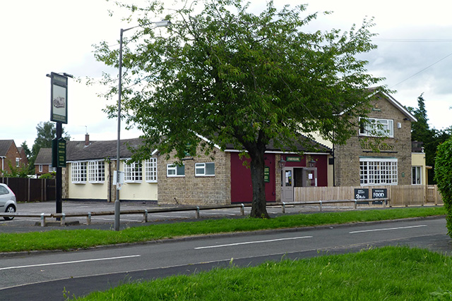
Silver Ghost, Alvaston

The Silver Ghost is a pub in Field Drive, Alvaston, Derby, England, that has been declared an asset of community value in order to prevent it from closure...
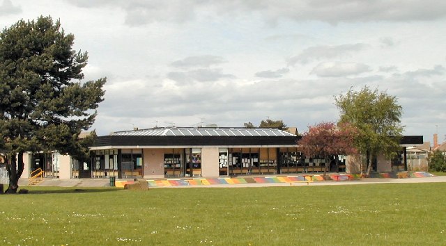
Noel-Baker Academy

Noel-Baker Academy (formerly Noel-Baker Community School) is a co-educational secondary school located in Alvaston, Derby, England. The school takes students...

Shelton Lock

Shelton Lock is a suburb in the south of the city of Derby, Derbyshire, England, located between Chellaston and Allenton. The area gets its name from the...

Boulton, Derby

Boulton is a suburb and former local government ward of the city of Derby, England, and is located about four miles to the south-east of Derby city centre...

Allenton, Derby

Allenton is a small suburb of the city of Derby, England, situated about three miles south of the city centre. It is located between the suburbs of Osmaston...

Chellaston

Chellaston is a suburban village on the southern outskirts of Derby, in Derbyshire, England. == History == An early mention of Chellaston is thought to...

Alvaston Moor Academy

Alvaston Moor Academy is a secondary school for students aged 11–16 years, located in Alvaston, Derby, England, which opened in 2021. The school operated...
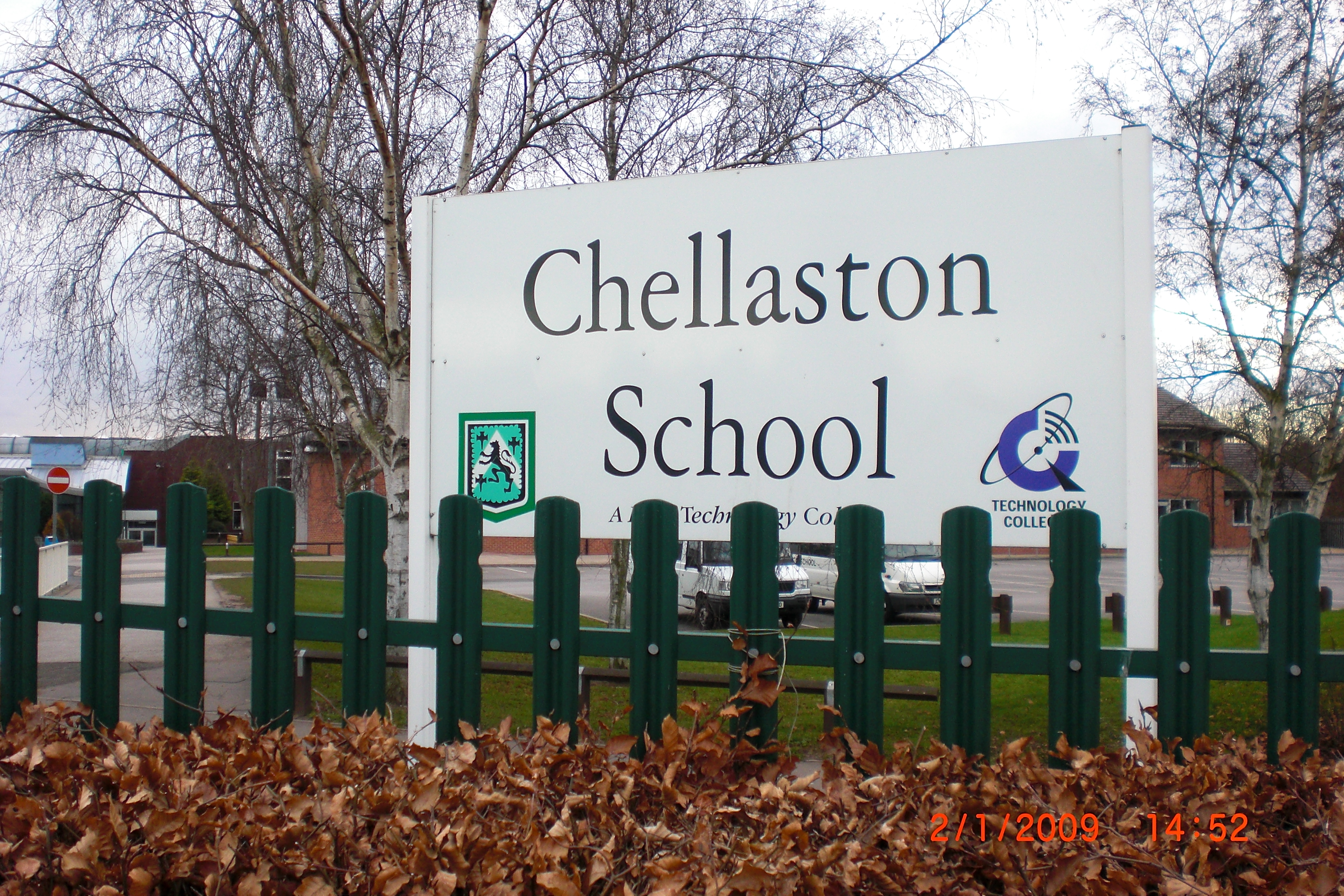
Chellaston Academy

Chellaston Academy (formerly Chellaston Foundation School) is a comprehensive school and Academy in Chellaston in the Derby area of England, United Kingdom...

Nearby Amenities

Located within 500m of 52.878673,-1.429376
Boulton Moor
Created By: Potlatch 0.10f
Place: locality
Lat/Long: 52.8825077/-1.4264328
Turning Circle
Lat/Long: 52.8752905/-1.4331647
Turning Circle
Lat/Long: 52.8780878/-1.4361622
Power: tower
Source: Bing
Lat/Long: 52.8807532/-1.4269993
Power: tower
Source: Bing
Lat/Long: 52.8805007/-1.4307973
Power: tower
Source: Bing
Lat/Long: 52.8802417/-1.4342627
Turning Circle
Lat/Long: 52.874757/-1.4292919
Crossing
Crossing Island: yes
Supervised: no
Tactile Paving: yes
Lat/Long: 52.874807/-1.4298242
Crossing
Crossing Island: yes
Supervised: no
Tactile Paving: yes
Lat/Long: 52.8750606/-1.4299153
Addr City: Derby
Addr Country: GB
Addr Housenumber: 89
Addr Street: Fellow Lands Way
Addr Suburb: Chellaston
Building: house
Lat/Long: 52.8757451/-1.4300426
Addr City: Derby
Addr Country: GB
Addr Housenumber: 91
Addr Street: Fellow Lands Way
Addr Suburb: Chellaston
Building: house
Lat/Long: 52.8757922/-1.4300587
Addr City: Derby
Addr Country: GB
Addr Housenumber: 93
Addr Street: Fellow Lands Way
Addr Suburb: Chellaston
Building: house
Lat/Long: 52.8758451/-1.4300813
Addr City: Derby
Addr Country: GB
Addr Housenumber: 95
Addr Street: Fellow Lands Way
Addr Suburb: Chellaston
Building: house
Lat/Long: 52.8759633/-1.4301482
Addr City: Derby
Addr Country: GB
Addr Housenumber: 78
Addr Street: Fellow Lands Way
Addr Suburb: Chellaston
Building: house
Lat/Long: 52.8761528/-1.4301833
Addr City: Derby
Addr Country: GB
Addr Housenumber: 80
Addr Street: Fellow Lands Way
Addr Suburb: Chellaston
Building: house
Lat/Long: 52.876109/-1.4304046
Addr City: Derby
Addr Country: GB
Addr Housenumber: 97
Addr Street: Fellow Lands Way
Addr Suburb: Chellaston
Building: house
Lat/Long: 52.8758969/-1.4305482
Addr City: Derby
Addr Country: GB
Addr Housenumber: 99
Addr Street: Fellow Lands Way
Addr Suburb: Chellaston
Building: house
Lat/Long: 52.8758614/-1.4306903
Addr City: Derby
Addr Country: GB
Addr Housenumber: 82
Addr Street: Fellow Lands Way
Addr Suburb: Chellaston
Building: house
Lat/Long: 52.8760753/-1.4306032
Addr City: Derby
Addr Country: GB
Addr Housenumber: 101
Addr Street: Fellow Lands Way
Addr Suburb: Chellaston
Building: house
Lat/Long: 52.8759779/-1.4310068
Addr City: Derby
Addr Country: GB
Addr Housenumber: 103
Addr Street: Fellow Lands Way
Addr Suburb: Chellaston
Building: house
Lat/Long: 52.8760701/-1.4310551
Addr City: Derby
Addr Country: GB
Addr Housenumber: 107
Addr Street: Fellow Lands Way
Addr Suburb: Chellaston
Building: house
Lat/Long: 52.8762083/-1.4311103
Addr City: Derby
Addr Country: GB
Addr Housenumber: 109
Addr Street: Fellow Lands Way
Addr Suburb: Chellaston
Building: house
Lat/Long: 52.8763454/-1.4311544
Addr City: Derby
Addr Country: GB
Addr Housenumber: 127
Addr Street: Fellow Lands Way
Addr Suburb: Chellaston
Building: house
Lat/Long: 52.8767684/-1.431105
Addr City: Derby
Addr Country: GB
Addr Housenumber: 131
Addr Street: Fellow Lands Way
Addr Suburb: Chellaston
Building: house
Lat/Long: 52.8773268/-1.4313812
Addr City: Derby
Addr Country: GB
Addr Housenumber: 135
Addr Street: Fellow Lands Way
Addr Suburb: Chellaston
Building: house
Lat/Long: 52.8774558/-1.4317043
Power: substation
Lat/Long: 52.8781194/-1.4315462
Noexit: yes
Lat/Long: 52.8760676/-1.4297597
Noexit: yes
Lat/Long: 52.8789255/-1.4334157
Noexit: yes
Lat/Long: 52.8786098/-1.4361006
Bus Stop
Fernhill Court
Bus: yes
Public Transport: platform
Lat/Long: 52.876933/-1.4355612
Crossing
Lat/Long: 52.8754793/-1.4298567
Direction: 185
Generator Method: photovoltaic
Generator Output Electricity: yes
Generator Solar Modules: 10
Generator Source: solar
Generator Type: solar_photovoltaic_panel
Location: roof
Power: generator
Lat/Long: 52.8749402/-1.4291537
Direction: 185
Generator Method: photovoltaic
Generator Output Electricity: yes
Generator Solar Modules: 10
Generator Source: solar
Generator Type: solar_photovoltaic_panel
Location: roof
Power: generator
Lat/Long: 52.8745614/-1.4290223
Direction: 185
Generator Method: photovoltaic
Generator Output Electricity: yes
Generator Solar Modules: 10
Generator Source: solar
Generator Type: solar_photovoltaic_panel
Location: roof
Power: generator
Lat/Long: 52.8745219/-1.4289563
Direction: 185
Generator Method: photovoltaic
Generator Output Electricity: yes
Generator Solar Modules: 16
Generator Source: solar
Generator Type: solar_photovoltaic_panel
Location: roof
Power: generator
Lat/Long: 52.8743363/-1.4292637
Direction: 185
Generator Method: photovoltaic
Generator Output Electricity: yes
Generator Solar Modules: 15
Generator Source: solar
Generator Type: solar_photovoltaic_panel
Location: roof
Power: generator
Lat/Long: 52.8743525/-1.4287353
Direction: 185
Generator Method: photovoltaic
Generator Output Electricity: yes
Generator Solar Modules: 16
Generator Source: solar
Generator Type: solar_photovoltaic_panel
Location: roof
Power: generator
Lat/Long: 52.874958/-1.429261
Direction: 120
Generator Method: photovoltaic
Generator Output Electricity: yes
Generator Solar Modules: 12
Generator Source: solar
Generator Type: solar_photovoltaic_panel
Location: roof
Power: generator
Lat/Long: 52.8742165/-1.4288157
Direction: 180
Generator Method: photovoltaic
Generator Output Electricity: yes
Generator Solar Modules: 25
Generator Source: solar
Generator Type: solar_photovoltaic_panel
Location: roof
Power: generator
Lat/Long: 52.8757311/-1.4332913
Direction: 60
Generator Method: photovoltaic
Generator Output Electricity: yes
Generator Solar Modules: 8
Generator Source: solar
Generator Type: solar_photovoltaic_panel
Location: roof
Power: generator
Lat/Long: 52.8768423/-1.4335738
Direction: 240
Generator Method: photovoltaic
Generator Output Electricity: yes
Generator Solar Modules: 8
Generator Source: solar
Generator Type: solar_photovoltaic_panel
Location: roof
Power: generator
Lat/Long: 52.8768071/-1.4336347
Direction: 180
Generator Method: photovoltaic
Generator Output Electricity: yes
Generator Solar Modules: 8
Generator Source: solar
Generator Type: solar_photovoltaic_panel
Location: roof
Power: generator
Lat/Long: 52.8760413/-1.4351641
Direction: 180
Generator Method: photovoltaic
Generator Output Electricity: yes
Generator Solar Modules: 8
Generator Source: solar
Generator Type: solar_photovoltaic_panel
Location: roof
Power: generator
Lat/Long: 52.8760457/-1.4352567
Direction: 170
Generator Method: photovoltaic
Generator Output Electricity: yes
Generator Solar Modules: 16
Generator Source: solar
Generator Type: solar_photovoltaic_panel
Location: roof
Power: generator
Lat/Long: 52.8746238/-1.4316717
Direction: 210
Generator Method: photovoltaic
Generator Output Electricity: yes
Generator Solar Modules: 13
Generator Source: solar
Generator Type: solar_photovoltaic_panel
Location: roof
Power: generator
Lat/Long: 52.8759921/-1.4318905
Direction: 90
Generator Method: photovoltaic
Generator Output Electricity: yes
Generator Solar Modules: 5
Generator Source: solar
Generator Type: solar_photovoltaic_panel
Location: roof
Power: generator
Lat/Long: 52.8757083/-1.432281
Direction: 270
Generator Method: photovoltaic
Generator Output Electricity: yes
Generator Solar Modules: 8
Generator Source: solar
Generator Type: solar_photovoltaic_panel
Location: roof
Power: generator
Lat/Long: 52.875714/-1.4323284
Direction: 120
Generator Method: photovoltaic
Generator Output Electricity: yes
Generator Solar Modules: 14
Generator Source: solar
Generator Type: solar_photovoltaic_panel
Location: roof
Power: generator
Lat/Long: 52.8779807/-1.4359269
Direction: 120
Generator Method: photovoltaic
Generator Output Electricity: yes
Generator Solar Modules: 12
Generator Source: solar
Generator Type: solar_photovoltaic_panel
Location: roof
Power: generator
Lat/Long: 52.8783531/-1.4367675
Addr City: Derby
Addr Housenumber: 113
Addr Postcode: DE73 6WE
Addr Street: Fellow Lands Way
Addr Suburb: Chellaston
Building: house
Lat/Long: 52.8763123/-1.4316893
Leisure: playground
Lat/Long: 52.8765931/-1.4327972
Addr City: Derby
Addr Country: GB
Addr Housenumber: 87
Addr Street: Fellow Lands Way
Addr Suburb: Chellaston
Building: house
Lat/Long: 52.875557/-1.4300573
Addr City: Derby
Addr Country: GB
Addr Housenumber: 117
Addr Street: Fellow Lands Way
Addr Suburb: Chellaston
Building: house
Lat/Long: 52.8763227/-1.4320529
Addr City: Derby
Addr Country: GB
Addr Housenumber: 115
Addr Street: Fellow Lands Way
Addr Suburb: Chellaston
Building: house
Lat/Long: 52.8763114/-1.4317659
Addr City: Derby
Addr Country: GB
Addr Housenumber: 111
Addr Street: Fellow Lands Way
Addr Suburb: Chellaston
Building: house
Lat/Long: 52.8763243/-1.4315245
Addr City: Derby
Addr Country: GB
Addr Housenumber: 105
Addr Street: Fellow Lands Way
Addr Suburb: Chellaston
Building: house
Lat/Long: 52.8760864/-1.4314252
Bench
Lat/Long: 52.8766457/-1.4322701
Bench
Lat/Long: 52.8793101/-1.4335857
Noexit: yes
Lat/Long: 52.8785728/-1.4319778
Bench
Lat/Long: 52.8786602/-1.4362371
Bench
Lat/Long: 52.8787492/-1.4367574
Pub
The Crossbar
Addr City: Derby
Addr Postcode: DE73 6TQ
Addr Street: Snelsmoor Lane
Fhrs Id: 1373110
Outdoor Seating: yes
Lat/Long: 52.8751497/-1.4266084
Barrier: bollard
Bicycle: yes
Foot: yes
Motor Vehicle: no
Lat/Long: 52.8766323/-1.4331719
Barrier: bollard
Bicycle: yes
Foot: yes
Motor Vehicle: no
Lat/Long: 52.8764103/-1.432503
The data included in this document is from www.openstreetmap.org. The data is made available under ODbL.

Have you been to Boulton Moor?

Leave your review of Boulton Moor below (or comments, questions and feedback).