Treveor

Settlement in Cornwall

England

Treveor

Brick hut, east of Gorran Churchtown
Brick hut, east of Gorran Churchtown Credit: David Smith

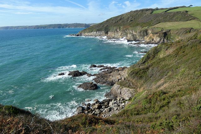
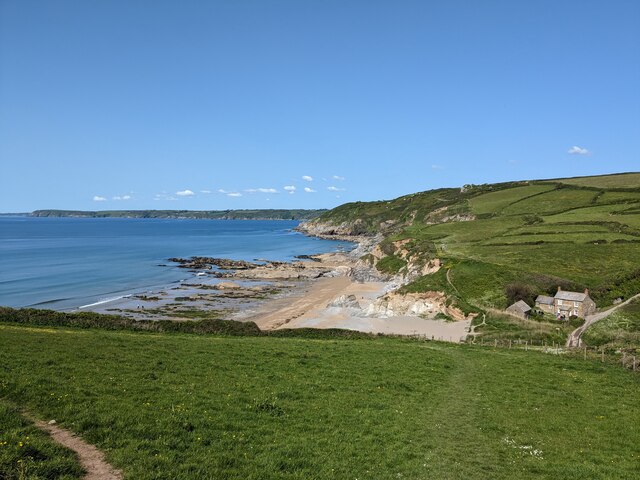
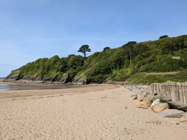
Trevor is a coastal town located in Cornwall, England. It is known for its stunning beaches, rugged cliffs, and picturesque harbor. The town is surrounded by beautiful countryside, making it a popular destination for outdoor enthusiasts and nature lovers.

Trevor has a rich history dating back to the medieval period, with many historic buildings and landmarks still standing today. The town's economy is primarily driven by tourism, with visitors flocking to its sandy beaches, clear waters, and charming shops and cafes.

In addition to its natural beauty, Trevor also offers a range of activities for visitors to enjoy, including surfing, hiking, and boat trips. The town hosts a variety of events and festivals throughout the year, showcasing its vibrant culture and community spirit.

Overall, Trevor is a peaceful and picturesque town that offers visitors a chance to relax and unwind in a stunning coastal setting. Its unique blend of history, natural beauty, and vibrant community make it a must-visit destination for anyone exploring Cornwall.

If you have any feedback on the listing, please let us know in the comments section below.
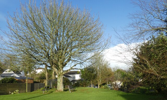
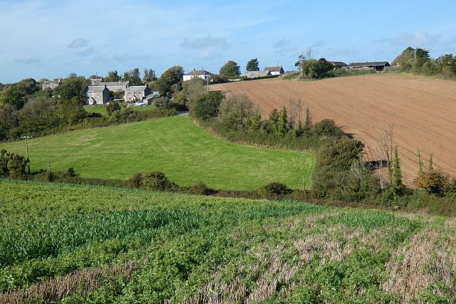
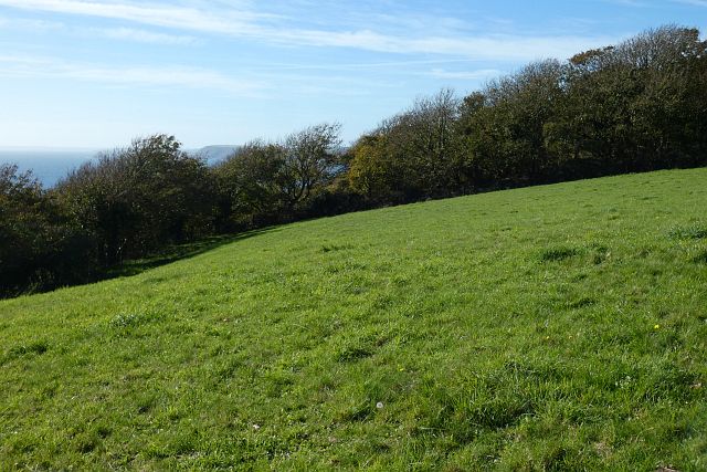
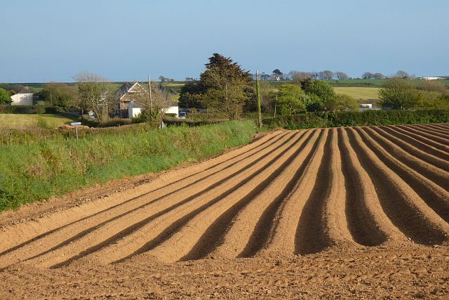
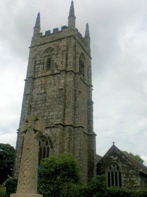
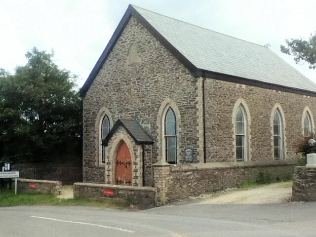
Treveor Images

Images are sourced within 2km of 50.242553/-4.825306 or Grid Reference SW9841. Thanks to Geograph Open Source API. All images are credited.

Brick hut, east of Gorran Churchtown
Portheast Way, Gorran Haven Leading to a housing estate
Portheast Way, Gorran Haven
Leading to a housing estate
Direction Sign - Signpost in Gorran Churchtown Located at Gorran Churchtown, on the northwest side of the junction near High Clere. St Goran parish. 3 arms and annulus finial. 

Milestone Society National ID: CW_SX0042
Direction Sign - Signpost in Gorran Churchtown
Located at Gorran Churchtown, on the northwest side of the junction near High Clere. St Goran parish. 3 arms and annulus finial. Milestone Society National ID: CW_SX0042
Low sunlight on trees by road to Gorran Churchtown
Drive to Polgoran Polgoran (formerly Polgorran) was the vicarage, 400 metres from the church at Gorran Churchtown
Drive to Polgoran
Polgoran (formerly Polgorran) was the vicarage, 400 metres from the church at Gorran Churchtown
St Goran's church, Gorran Churchtown War memorial in the form of a Celtic cross outside the churchyard
St Goran's church, Gorran Churchtown
War memorial in the form of a Celtic cross outside the churchyard
Village green in Gorran Churchtown
Farmland, St Goran The hamlet of Rescassa is seen from the footpath north of Treveor.
Farmland, St Goran
The hamlet of Rescassa is seen from the footpath north of Treveor.
Pasture and woodland, St Goran The coast path follows the edge of the field before entering the wood and descending steeply to Porthluney Cove.
Pasture and woodland, St Goran
The coast path follows the edge of the field before entering the wood and descending steeply to Porthluney Cove.
Coastline, St Goran Looking across Lambsowden Cove from the coast path above Greeb Point.
Coastline, St Goran
Looking across Lambsowden Cove from the coast path above Greeb Point.
Farmland, St Goran A furrowed potato field to the north of Gorran High Lanes.
Farmland, St Goran
A furrowed potato field to the north of Gorran High Lanes.
St Goran Parish Church
Boswinger Methodist Church
Gorran High Lanes Methodist Church
Hemmick Beach
Hemmick Beach
Porthluney Cove
Porthluney Cove
The Upper Garden at Caerhays
The Kitchen Walled Garden
Show me another place!

Treveor is located at Grid Ref: SW9841 (Lat: 50.242553, Lng: -4.825306)

Unitary Authority: Cornwall

Police Authority: Devon and Cornwall

What 3 Words

///bowhead.microfilm.routine. Near Mevagissey, Cornwall

Nearby Locations

Treveor Tregavarras

Related Wikis

Rescassa

Rescassa is a hamlet near Mevagissey in Cornwall, England. == References ==

Boswinger

Boswinger is a village in south Cornwall, England, two miles south of Mevagissey (where the 2011 Census population is included). There is a youth hostel...

St Goran

St Goran is a coastal civil parish in Cornwall, England, UK, six miles (10 km) south-southwest of St Austell. The largest settlement in the parish is the...

Gorran High Lanes

Gorran High Lanes, known locally as Gorran Highlanes, is a hamlet in the parish of St Goran in mid Cornwall, England. == References ==

Nearby Amenities

Located within 500m of 50.242553,-4.825306
Barrier: stile
Material: stone
Step Count: 4
Stile: stepover
Lat/Long: 50.2417432/-4.8273957
Treveor
Is In: Cornwall, England, UK
Name Kw: Treveur
Place: hamlet
Wikidata: Q7838959
Lat/Long: 50.2424901/-4.824397
Tregavarras Row
Place: hamlet
Lat/Long: 50.2403504/-4.8288613
Barrier: stile
Material: stone
Step Count: 4
Stile: stepover
Lat/Long: 50.2405787/-4.8274023
Barrier: kissing_gate
Lat/Long: 50.2404946/-4.8274264
Passing Place
Lat/Long: 50.2431227/-4.8197867
The data included in this document is from www.openstreetmap.org. The data is made available under ODbL.

Have you been to Treveor?

Leave your review of Treveor below (or comments, questions and feedback).