Tregavarras

Settlement in Cornwall

England

Tregavarras

Low sunlight on trees by road to Gorran Churchtown
Low sunlight on trees by road to Gorran Churchtown Credit: David Smith

Tregavarras is a small village located in the county of Cornwall, England. Situated approximately 2 miles northeast of the town of St Austell, it is nestled in a picturesque rural setting. The village is known for its tranquil and idyllic atmosphere, making it a popular destination for those seeking a peaceful retreat.

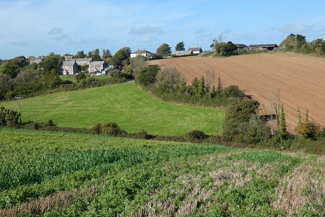
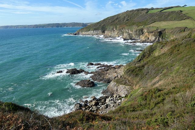
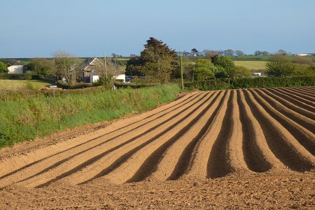
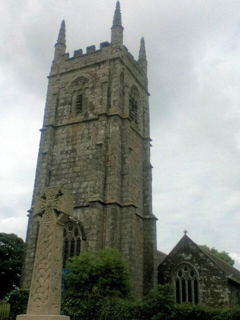
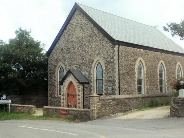
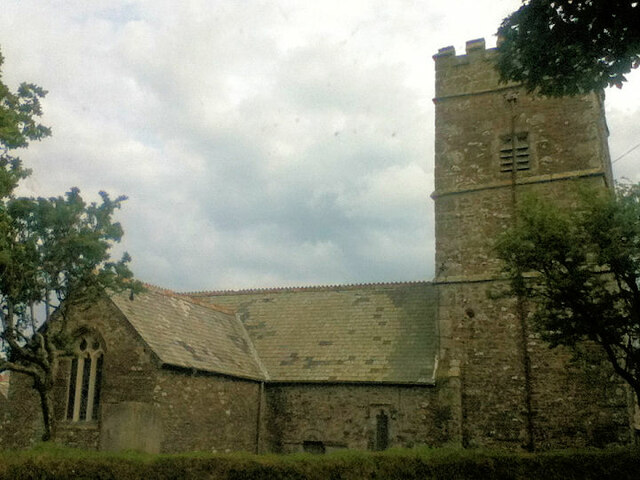
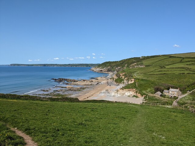
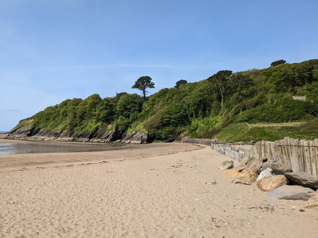
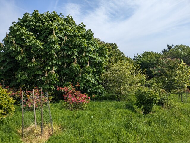
The architecture in Tregavarras reflects its rich history, with many buildings dating back several centuries. Stone cottages and traditional farmhouses can be found throughout the village, giving it a charming and timeless feel. The surrounding countryside offers stunning views of the rolling hills and fields, making it an ideal location for nature enthusiasts and hikers.

Despite its small size, Tregavarras offers some amenities for residents and visitors. There is a local pub, The Tregavarras Inn, which serves traditional British cuisine and ales, providing a cozy spot for socializing. Additionally, the village is within close proximity to St Austell, where a wider range of facilities including shops, supermarkets, and schools can be found.

Tregavarras is also conveniently located near several popular tourist attractions. The famous Eden Project, a vast botanical garden and educational center, is just a short drive away. The Lost Gardens of Heligan, another renowned garden restoration project, is also within easy reach.

Overall, Tregavarras offers a peaceful and picturesque experience for both residents and visitors, with its charming architecture, stunning surroundings, and convenient access to nearby attractions.

If you have any feedback on the listing, please let us know in the comments section below.
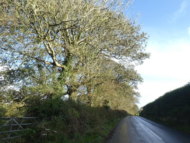
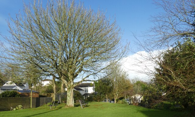
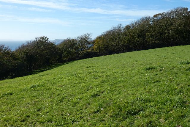
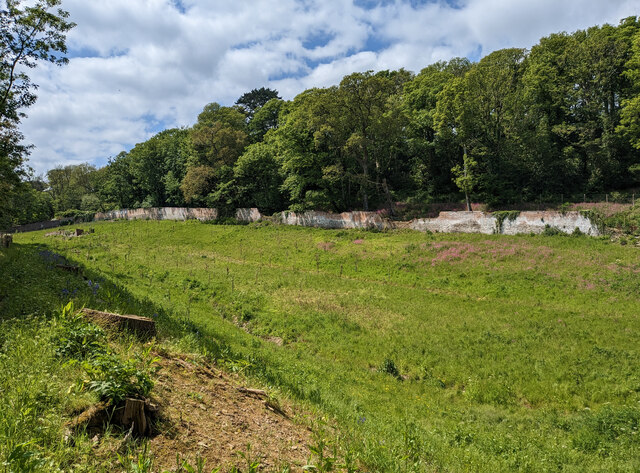
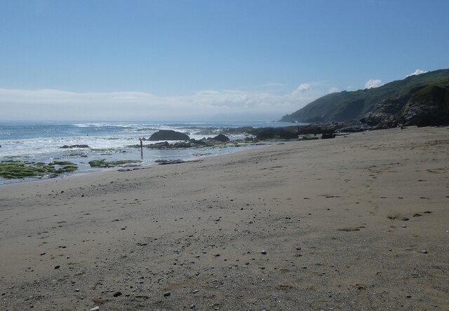
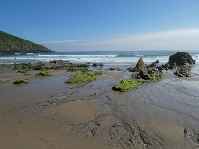
Tregavarras Images

Images are sourced within 2km of 50.239392/-4.8323167 or Grid Reference SW9841. Thanks to Geograph Open Source API. All images are credited.

Low sunlight on trees by road to Gorran Churchtown
Drive to Polgoran Polgoran (formerly Polgorran) was the vicarage, 400 metres from the church at Gorran Churchtown
Drive to Polgoran
Polgoran (formerly Polgorran) was the vicarage, 400 metres from the church at Gorran Churchtown
St Goran's church, Gorran Churchtown War memorial in the form of a Celtic cross outside the churchyard
St Goran's church, Gorran Churchtown
War memorial in the form of a Celtic cross outside the churchyard
Village green in Gorran Churchtown
Farmland, St Goran The hamlet of Rescassa is seen from the footpath north of Treveor.
Farmland, St Goran
The hamlet of Rescassa is seen from the footpath north of Treveor.
Pasture and woodland, St Goran The coast path follows the edge of the field before entering the wood and descending steeply to Porthluney Cove.
Pasture and woodland, St Goran
The coast path follows the edge of the field before entering the wood and descending steeply to Porthluney Cove.
Coastline, St Goran Looking across Lambsowden Cove from the coast path above Greeb Point.
Coastline, St Goran
Looking across Lambsowden Cove from the coast path above Greeb Point.
Farmland, St Goran A furrowed potato field to the north of Gorran High Lanes.
Farmland, St Goran
A furrowed potato field to the north of Gorran High Lanes.
St Goran Parish Church
Boswinger Methodist Church
St Michael's Church
St Michael's Church
Gorran High Lanes Methodist Church
Hemmick Beach
Hemmick Beach
Porthluney Cove
Porthluney Cove
The Upper Garden at Caerhays
The Kitchen Walled Garden
Hemmick Beach - western end Looking across the sand and occasional shingle of Hemmick Beach to the rocks meeting the sea at its western end.
Cf. <a href="https://www.geograph.org.uk/photo/7511603">SW9940 : Hemmick Beach - eastern end</a>
See also 
<a href="https://www.geograph.org.uk/photo/7511732">SW9940 : Hemmick Beach - Seaweed-covered rocks</a>
<a href="https://www.geograph.org.uk/photo/7511733">SW9940 : Hemmick Beach - Rocks at the water's edge</a>
Hemmick Beach information: <span class="nowrap"><a title="http://www.cornwallbeaches.org.uk/South-Coast-Central-Cornwall/Hemmick-Percunning-Cove.pdf" rel="nofollow ugc noopener" href="http://www.cornwallbeaches.org.uk/South-Coast-Central-Cornwall/Hemmick-Percunning-Cove.pdf">Link</a><img style="margin-left:2px;" alt="External link" title="External link - shift click to open in new window" src="https://s1.geograph.org.uk/img/external.png" width="10" height="10"/></span>
Hemmick Beach - western end
Looking across the sand and occasional shingle of Hemmick Beach to the rocks meeting the sea at its western end. Cf. SW9940 : Hemmick Beach - eastern end See also SW9940 : Hemmick Beach - Seaweed-covered rocks SW9940 : Hemmick Beach - Rocks at the water's edge Hemmick Beach information: LinkExternal link
Hemmick Beach - eastern end The sands of Hemmick Beach meet the sea with numerous clumps of seaweed-covered rocks. Cf. <a href="https://www.geograph.org.uk/photo/7511593">SW9940 : Hemmick Beach - western end</a>
See also 
<a href="https://www.geograph.org.uk/photo/7511732">SW9940 : Hemmick Beach - Seaweed-covered rocks</a>
<a href="https://www.geograph.org.uk/photo/7511733">SW9940 : Hemmick Beach - Rocks at the water's edge</a>
Hemmick Beach information: <span class="nowrap"><a title="http://www.cornwallbeaches.org.uk/South-Coast-Central-Cornwall/Hemmick-Percunning-Cove.pdf" rel="nofollow ugc noopener" href="http://www.cornwallbeaches.org.uk/South-Coast-Central-Cornwall/Hemmick-Percunning-Cove.pdf">Link</a><img style="margin-left:2px;" alt="External link" title="External link - shift click to open in new window" src="https://s1.geograph.org.uk/img/external.png" width="10" height="10"/></span>
Hemmick Beach - eastern end
The sands of Hemmick Beach meet the sea with numerous clumps of seaweed-covered rocks. Cf. SW9940 : Hemmick Beach - western end See also SW9940 : Hemmick Beach - Seaweed-covered rocks SW9940 : Hemmick Beach - Rocks at the water's edge Hemmick Beach information: LinkExternal link
Show me another place!

Tregavarras is located at Grid Ref: SW9841 (Lat: 50.239392, Lng: -4.8323167)

Unitary Authority: Cornwall

Police Authority: Devon and Cornwall

What 3 Words

///node.supple.unzips. Near Mevagissey, Cornwall

Nearby Locations

Tregavarras Treveor

Related Wikis

Rescassa

Rescassa is a hamlet near Mevagissey in Cornwall, England. == References ==

Boswinger

Boswinger is a village in south Cornwall, England, two miles south of Mevagissey (where the 2011 Census population is included). There is a youth hostel...

Cuckoo Rock to Turbot Point

Cuckoo Rock to Turbot Point is a coastal Geological Conservation Review site and Site of Special Scientific Interest (SSSI) in Cornwall, England, UK, noted...

Gorran High Lanes

Gorran High Lanes, known locally as Gorran Highlanes, is a hamlet in the parish of St Goran in mid Cornwall, England. == References ==

Nearby Amenities

Located within 500m of 50.239392,-4.8323167
Barrier: stile
Material: stone
Step Count: 4
Stile: stepover
Lat/Long: 50.2417432/-4.8273957
Tregavarras Row
Place: hamlet
Lat/Long: 50.2403504/-4.8288613
Penvergate
Place: hamlet
Source: OS_OpenData_StreetView
Lat/Long: 50.2420486/-4.8363314
Barrier: stile
Material: stone
Step Count: 4
Stile: stepover
Lat/Long: 50.2405787/-4.8274023
Passing Place
Image: https://archive.org/details/porthluney-photos/Porthluney%20to%20Hemmick%20Beach%202020-08-26/DSCN2020.JPG
Lat/Long: 50.2378723/-4.8276868
Passing Place
Image: https://archive.org/details/porthluney-photos/Porthluney%20to%20Hemmick%20Beach%202020-08-26/DSCN2022.JPG
Lat/Long: 50.2380543/-4.8290295
Post Box
Brand: Royal Mail
Brand Wikidata: Q638098
Brand Wikipedia: en:Royal Mail
Collection Times: Mo-Fr 09:00; Sa 07:00; Su off
Operator: Royal Mail
Operator Wikidata: Q638098
Post Box Mounting: pier
Post Box Type: lamp
Ref: PL26 126D
Royal Cypher: EIIR
Royal Cypher Wikidata: Q33102113
Source: survey;streetlevel imagery;aerial imagery
Survey Date: 2023-03-26
Lat/Long: 50.240759/-4.8321301
Barrier: kissing_gate
Foot: yes
Image: https://archive.org/details/porthluney-photos/Porthluney%20to%20Hemmick%20Beach%202020-08-26/DSCN2045.JPG
Lat/Long: 50.238939/-4.834101
Passing Place
Image: https://archive.org/details/porthluney-photos/Porthluney%20to%20Hemmick%20Beach%202020-08-26/DSCN2019.JPG
Lat/Long: 50.2376827/-4.8267378
Barrier: kissing_gate
Lat/Long: 50.2404946/-4.8274264
The data included in this document is from www.openstreetmap.org. The data is made available under ODbL.

Have you been to Tregavarras?

Leave your review of Tregavarras below (or comments, questions and feedback).