Trefula

Settlement in Cornwall

England

Trefula

Weighing Machine Redruth Station A redundant weighing machine at Redruth Station sits as it always has set into the platform.
Weighing Machine Redruth Station Credit: Tom Jolliffe

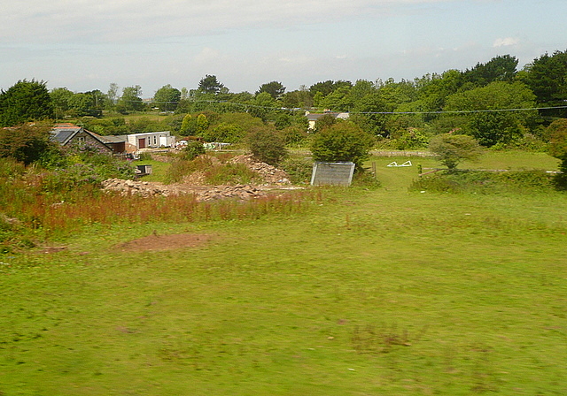
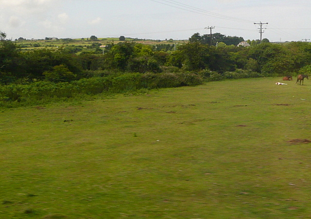
Trefula is a small village located in Cornwall, England. Situated near the town of Helston, Trefula is known for its picturesque countryside views and peaceful atmosphere. The village is surrounded by rolling hills and lush greenery, making it an ideal destination for nature lovers and outdoor enthusiasts.

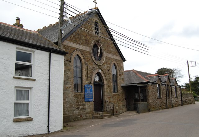
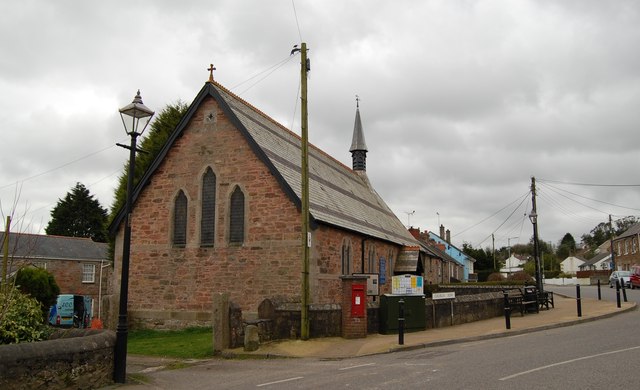
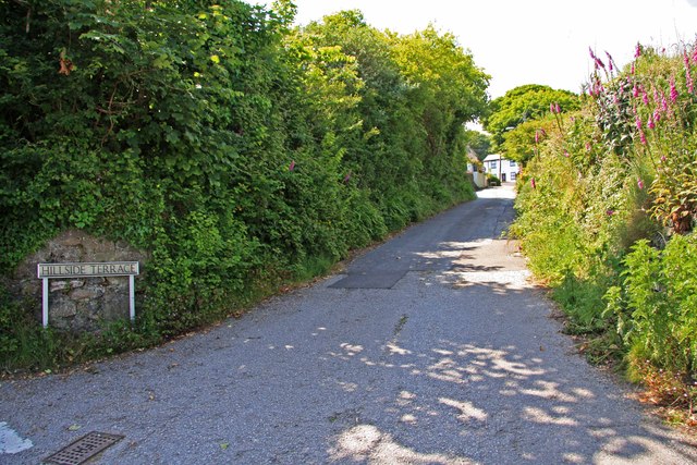
Trefula is home to a tight-knit community of residents who take pride in their village and its surroundings. The village features charming stone cottages, a quaint village green, and a historic church that dates back several centuries. Visitors to Trefula can enjoy leisurely walks along the country lanes, explore the nearby woodlands, or simply relax and take in the tranquil surroundings.

In addition to its natural beauty, Trefula is also a popular destination for those interested in history and heritage. The village is located near several archaeological sites, including ancient burial mounds and Roman ruins, offering visitors a glimpse into the area's rich past.

Overall, Trefula is a hidden gem in Cornwall, offering visitors a peaceful retreat away from the hustle and bustle of city life. Whether you're looking to explore the great outdoors, immerse yourself in history, or simply unwind in a beautiful setting, Trefula has something to offer everyone.

If you have any feedback on the listing, please let us know in the comments section below.
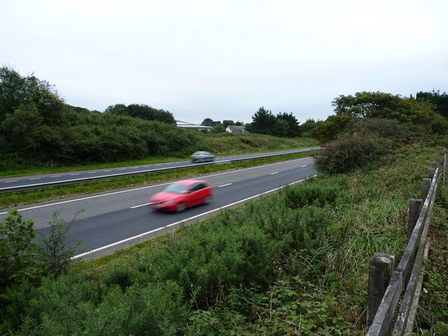
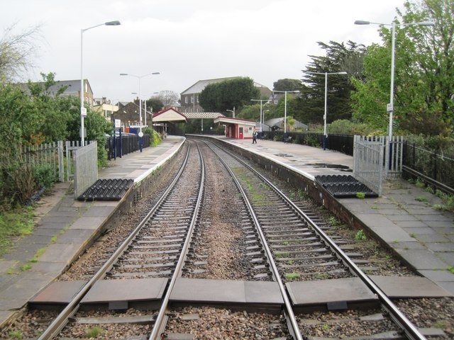
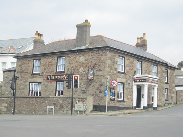
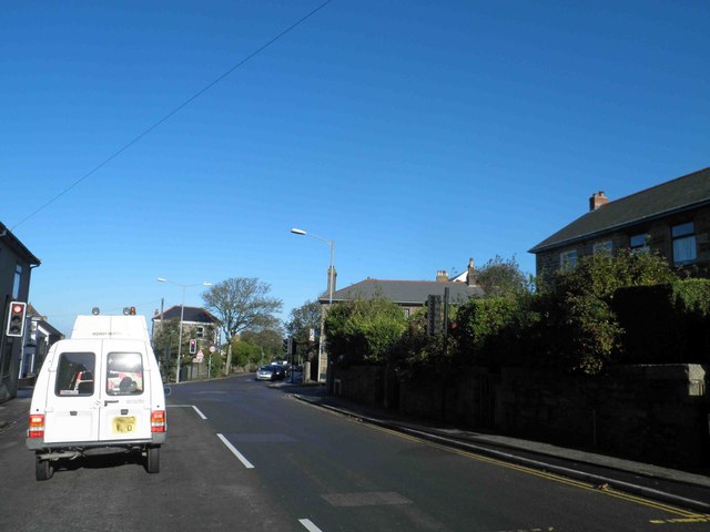
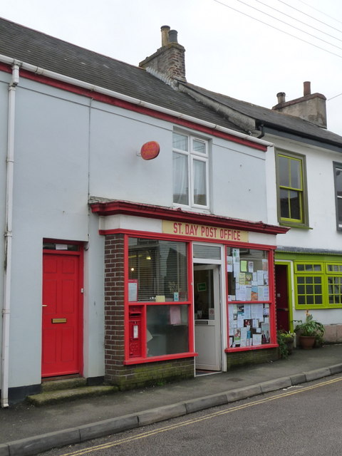
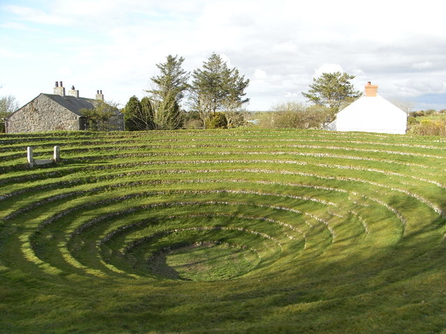
Trefula Images

Images are sourced within 2km of 50.238153/-5.2002835 or Grid Reference SW7142. Thanks to Geograph Open Source API. All images are credited.

Weighing Machine Redruth Station A redundant weighing machine at Redruth Station sits as it always has set into the platform.
Weighing Machine Redruth Station
A redundant weighing machine at Redruth Station sits as it always has set into the platform.
Farm at Wheal Prussia On the eastern outskirts of Redruth is this smallholding near the former Wheal Prussia.
This photo was taken from the 1158 Penzance to London Paddington train, having left Redruth at 1231.
Farm at Wheal Prussia
On the eastern outskirts of Redruth is this smallholding near the former Wheal Prussia. This photo was taken from the 1158 Penzance to London Paddington train, having left Redruth at 1231.
Paddock at Scorrier A few horses were enjoying the hint of sunshine as we passed on the train.  This photo was taken from the 1158 Penzance to London Paddington train, having left Redruth at 1231.
Paddock at Scorrier
A few horses were enjoying the hint of sunshine as we passed on the train. This photo was taken from the 1158 Penzance to London Paddington train, having left Redruth at 1231.
Redruth Station and Footbridge
St Day's new church was the old Sunday School
St Piran's Church, Carharrack
Redruth Railway Station Footbridge The footbridge at Redruth Station was significantly renovated two years ago. The work is holding up well and shows how such investment improves the environment.
Redruth Railway Station Footbridge
The footbridge at Redruth Station was significantly renovated two years ago. The work is holding up well and shows how such investment improves the environment.
Redruth Railway Station Footbridge The renovation of the footbridge two years ago greatly enhanced the appearance of the station. Were these the original colours of the Great Western Railway? Between the house in the background and the end of the canopy on the platform the Pednandrea Stack can be seen marking the industrial history of Redruth. Also see <a href="https://www.geograph.org.uk/photo/1904221">SW7041 : Basset Street and Pednandrea Stack, Redruth</a>
Redruth Railway Station Footbridge
The renovation of the footbridge two years ago greatly enhanced the appearance of the station. Were these the original colours of the Great Western Railway? Between the house in the background and the end of the canopy on the platform the Pednandrea Stack can be seen marking the industrial history of Redruth. Also see SW7041 : Basset Street and Pednandrea Stack, Redruth
Footbridge Redruth Railway Station The colours of the footbridge look a little too bright and cheerful to be true to the original railway company. The Great Western locomotives were painted green and the coaches were brown and cream. Wagons were painted red at one time. Pednandrea Stack can be seen in the background.
Footbridge Redruth Railway Station
The colours of the footbridge look a little too bright and cheerful to be true to the original railway company. The Great Western locomotives were painted green and the coaches were brown and cream. Wagons were painted red at one time. Pednandrea Stack can be seen in the background.
Traffic on the A30 The main A30 dual carriageway near Radnor. A fast road; no place to be cycling on a dull evening.
Traffic on the A30
The main A30 dual carriageway near Radnor. A fast road; no place to be cycling on a dull evening.
Redruth railway station, Cornwall Opened in 1852 by the West Cornwall Railway on its line from Truro to Penzance. View north east towards Truro from the rear of a departing train.
Redruth railway station, Cornwall
Opened in 1852 by the West Cornwall Railway on its line from Truro to Penzance. View north east towards Truro from the rear of a departing train.
The Trefusis Arms, Redruth
Hillside Terrace, from the junction with Pennance Road
Traffic lights on Southgate Street Redruth
St. Day: the post office The post office, in Fore Street, retains a traditional looking frontage and unlike many these days is not part of a general village store. There has been a post office in St. Day since 1830.
St. Day: the post office
The post office, in Fore Street, retains a traditional looking frontage and unlike many these days is not part of a general village store. There has been a post office in St. Day since 1830.
St. Day: postbox № TR16 62, Fore Street The off-centre positioning of the collection plate is a giveaway that this postbox was designed for a post office frontage - and that is indeed the case, within the window of <a href="https://www.geograph.org.uk/photo/3705996">SW7242 : St. Day: the post office</a>.
St. Day: postbox № TR16 62, Fore Street
The off-centre positioning of the collection plate is a giveaway that this postbox was designed for a post office frontage - and that is indeed the case, within the window of SW7242 : St. Day: the post office.
Gwennap Pit John Wesley preached here.
Gwennap Pit
John Wesley preached here.
Old Railway Track Sections of the track of the Redruth and Chacewater Railway.  The track was not laid on wooden sleepers, but rather on granite "chairs" set in the ground.  In this shot there are actually two generations of track.  Nearer the camera the track is the original style, from when the wagons were horse-drawn.  Further from the camera the track is of a heavier cross section, installed when steam locomotives replaced horses.
Old Railway Track
Sections of the track of the Redruth and Chacewater Railway. The track was not laid on wooden sleepers, but rather on granite "chairs" set in the ground. In this shot there are actually two generations of track. Nearer the camera the track is the original style, from when the wagons were horse-drawn. Further from the camera the track is of a heavier cross section, installed when steam locomotives replaced horses.
Show me another place!

Trefula is located at Grid Ref: SW7142 (Lat: 50.238153, Lng: -5.2002835)

Unitary Authority: Cornwall

Police Authority: Devon and Cornwall

What 3 Words

///pops.united.reduction. Near St Day, Cornwall

Nearby Locations

Trefula Higher Ninnis

Related Wikis

Vogue, Cornwall

Vogue (Cornish: Fog, meaning blowing house or furnace) is a hamlet in the parish of St Day, Cornwall, England. == Mining industry == At Vogue there was...

Busveal

Busveal is a mining settlement in west Cornwall, United Kingdom. It is located approximately one mile east of Redruth. It is in the civil parish of St...

Treskerby

Treskerby is a hamlet south of Scorrier in west Cornwall, England, United Kingdom. == References ==

Highway, Cornwall

Highway is a hamlet in the parish of Redruth (where the population was included), Cornwall, England. == References ==

Nearby Amenities

Located within 500m of 50.238153,-5.2002835
Lower Ninnis
Is In County: Cornwall
Place: hamlet
Source: OS_OpenData_StreetView
Lat/Long: 50.2367886/-5.1972429
Trefula
Is In County: Cornwall
Name Kw: Trevoula
Place: hamlet
Source: OS_OpenData_StreetView
Lat/Long: 50.2384219/-5.1987449
Higher Ninnis
Place: hamlet
Source: OS_OpenData_StreetView
Lat/Long: 50.2357607/-5.1998392
Historic: mine_shaft
Note: exact location uncertain
Source: OS_OpenData_StreetView
Lat/Long: 50.2343881/-5.1982943
Parking
Access: customers
Parking: surface
Lat/Long: 50.2376887/-5.1934898
Material: wood
Power: pole
Source: survey
Lat/Long: 50.2377733/-5.19336
Barrier: stile
Lat/Long: 50.2353198/-5.1989761
Barrier: stile
Lat/Long: 50.2356876/-5.2004312
The data included in this document is from www.openstreetmap.org. The data is made available under ODbL.

Have you been to Trefula?

Leave your review of Trefula below (or comments, questions and feedback).