Trevarren
Settlement in Cornwall
England
Trevarren
Trevarren is a small village located in the county of Cornwall, in southwestern England. Situated just a few miles northeast of the popular tourist destination of St. Austell, Trevarren offers a peaceful and picturesque setting for both residents and visitors.
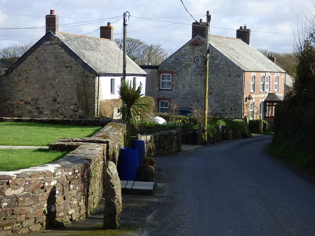
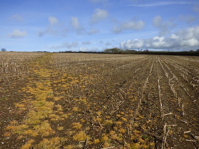
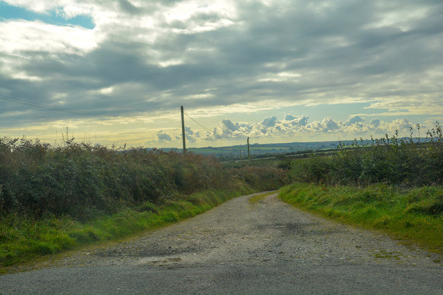
The village is characterized by its charming rural landscape, with rolling hills and lush green fields surrounding the area. Trevarren is known for its traditional Cornish stone cottages, which add to the village's idyllic atmosphere. The village is also home to a small but tight-knit community, where residents often engage in local events and activities.
Despite its small size, Trevarren benefits from its close proximity to St. Austell, which provides access to a range of amenities and services. St. Austell offers various shops, supermarkets, restaurants, and leisure facilities, ensuring that residents of Trevarren have easy access to all their needs.
For those interested in exploring the natural beauty of the region, Trevarren is conveniently located near attractions such as the Eden Project, a world-famous ecological park and educational center. Additionally, the village is within reach of several stunning beaches, including the popular Carlyon Bay and Porthpean Beach.
Overall, Trevarren provides a tranquil and picturesque setting, with a close-knit community and convenient access to nearby amenities and attractions. Whether for a peaceful countryside escape or as a base for exploring Cornwall, Trevarren is an appealing destination for both residents and visitors alike.
If you have any feedback on the listing, please let us know in the comments section below.
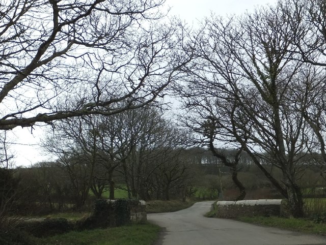
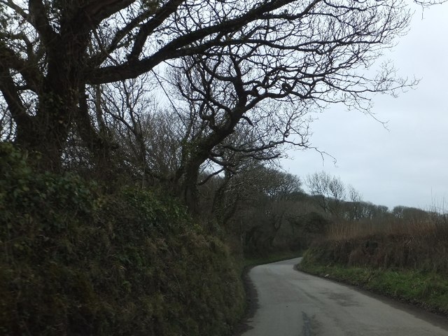
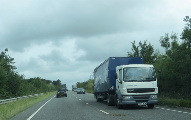
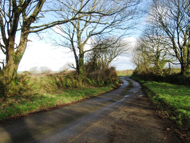
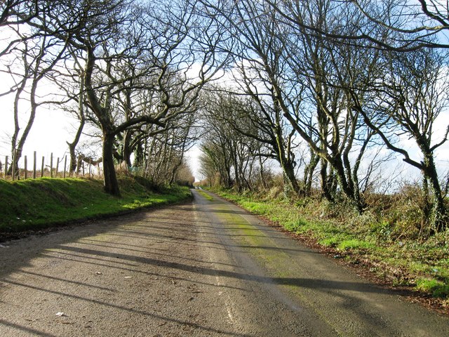
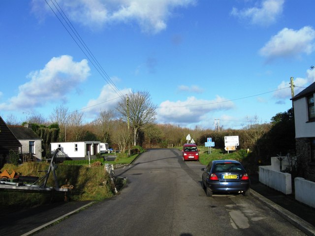
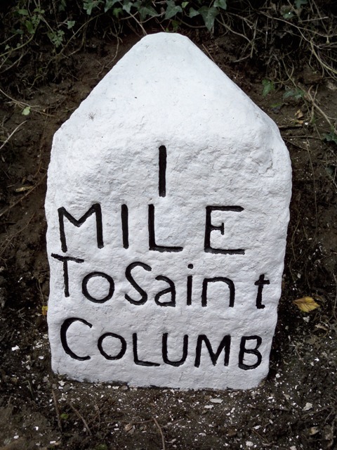
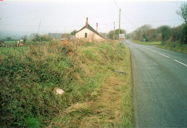
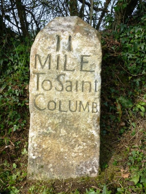
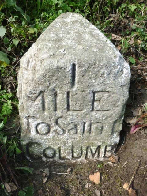
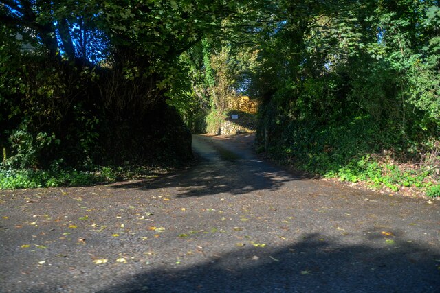
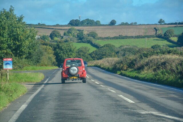
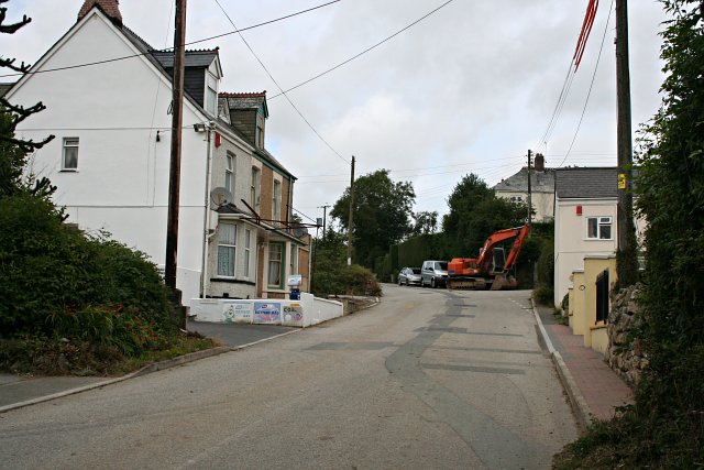
Trevarren Images
Images are sourced within 2km of 50.404957/-4.939959 or Grid Reference SW9160. Thanks to Geograph Open Source API. All images are credited.


Trevarren is located at Grid Ref: SW9160 (Lat: 50.404957, Lng: -4.939959)
Unitary Authority: Cornwall
Police Authority: Devon and Cornwall
What 3 Words
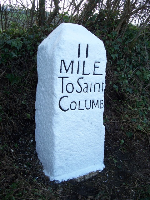
///goals.postings.payout. Near St Columb Major, Cornwall
Nearby Locations
Related Wikis
Trevarren
Trevarren is a hamlet, north of Indian Queens in Cornwall, United Kingdom. == References ==
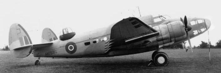
1943 RAF Hudson crash
The 1943 RAF Hudson crash was an aerial accident that killed two people. The aircraft crashed in a forced landing attempt near RAF St Eval, Cornwall, England...
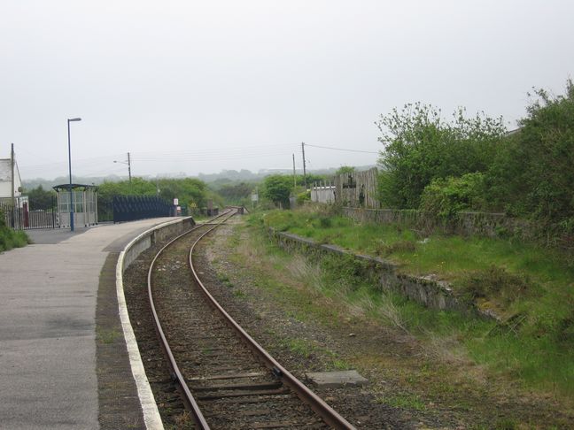
St Columb Road railway station
St Columb Road railway station (Cornish: Fordh Sen Kolom) serves the village of St Columb Road in Cornwall, England. The station is situated on the Atlantic...

Killaworgey
Killaworgey is a hamlet near Indian Queens in Cornwall, England. It is in the civil parish of St Columb Major. == References ==
Nearby Amenities
Located within 500m of 50.404957,-4.939959Have you been to Trevarren?
Leave your review of Trevarren below (or comments, questions and feedback).