Trevarrack
Settlement in Cornwall
England
Trevarrack
The requested URL returned error: 429 Too Many Requests
If you have any feedback on the listing, please let us know in the comments section below.
Trevarrack Images
Images are sourced within 2km of 50.130076/-5.520517 or Grid Reference SW4831. Thanks to Geograph Open Source API. All images are credited.


Trevarrack is located at Grid Ref: SW4831 (Lat: 50.130076, Lng: -5.520517)
Unitary Authority: Cornwall
Police Authority: Devon and Cornwall
What 3 Words
///makeovers.drooling.mimed. Near Penzance, Cornwall
Nearby Locations
Related Wikis

Gulval
Gulval (Cornish: Lannystli) is a village in Cornwall, England, United Kingdom. Although historically a parish in its own right, Gulval was incorporated...
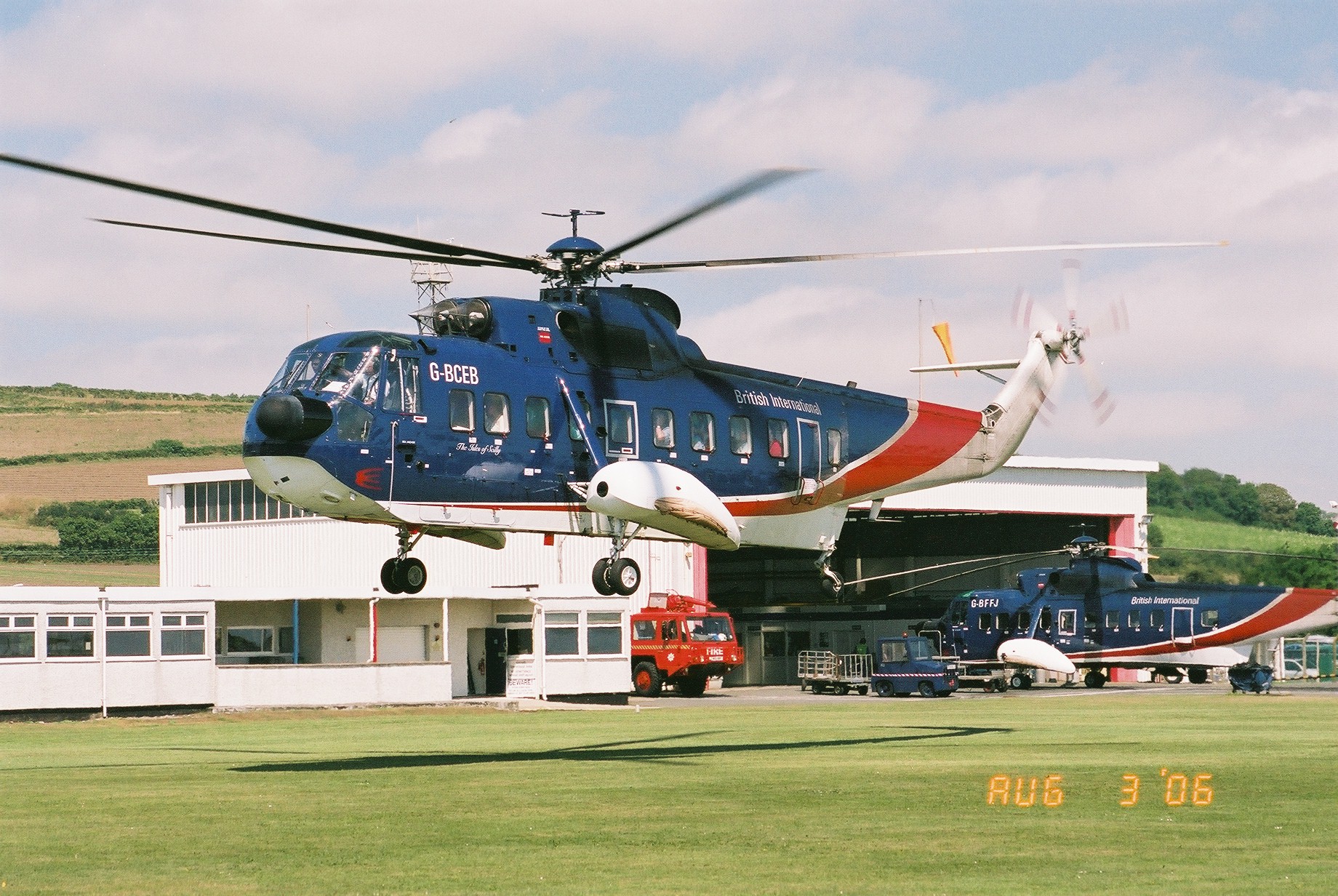
Penzance Heliport
Penzance Heliport (IATA: PZE, ICAO: EGHK) is located 0.6 NM (1.1 km; 0.69 mi) northeast of Penzance, Cornwall. The heliport hosts scheduled flights to...
Chyandour
Chyandour (Cornish: Chi an Dowr, meaning "house of the water") is a small settlement within the town of Penzance in west Cornwall, United Kingdom. It is...
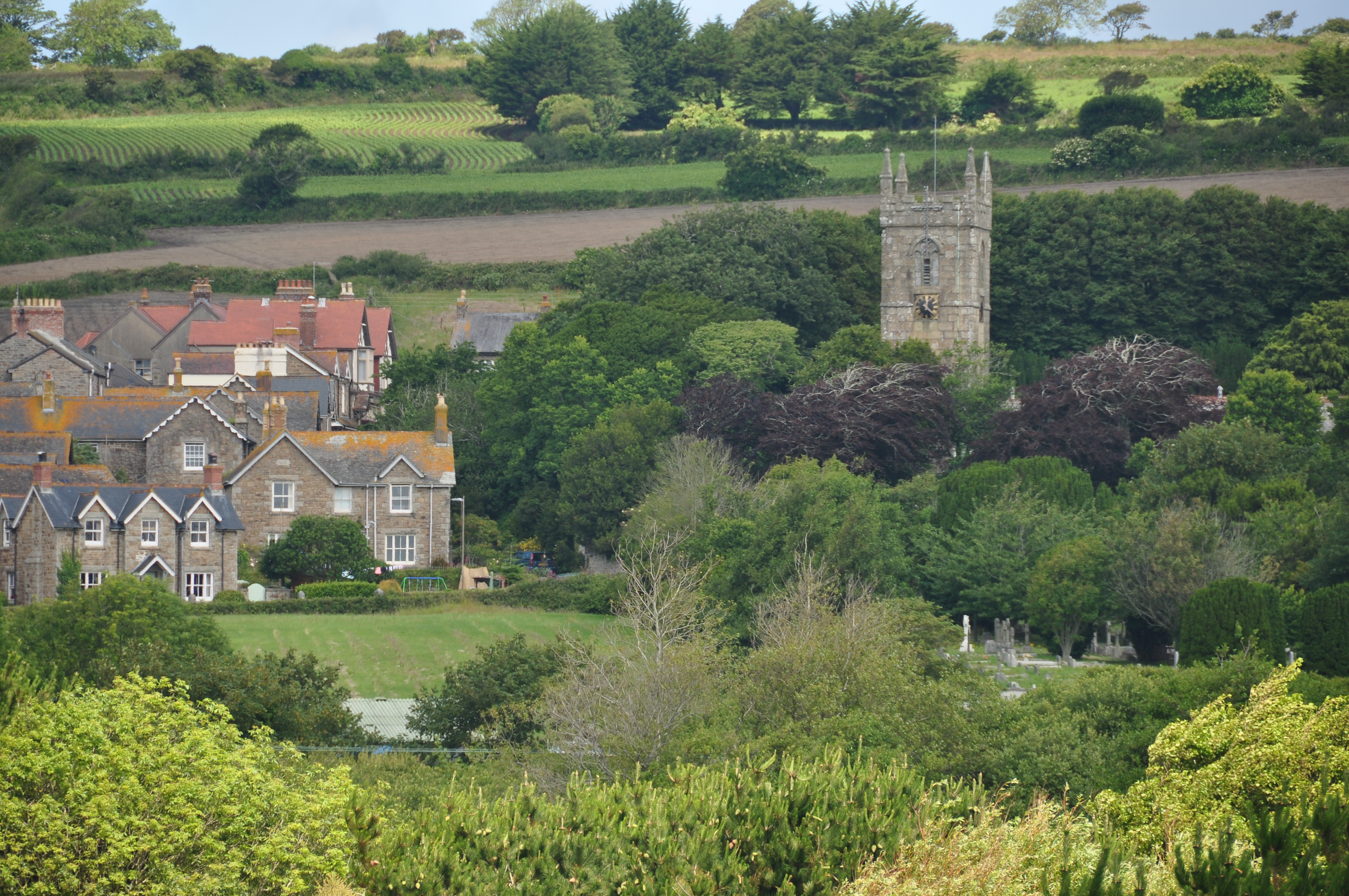
Trevarrack
Trevarrack is a hamlet between Penzance and the village of Gulval, Cornwall, England, United Kingdom.The memorial stone for the Wesleyan chapel was laid...
Nearby Amenities
Located within 500m of 50.130076,-5.520517Have you been to Trevarrack?
Leave your review of Trevarrack below (or comments, questions and feedback).