Black Cross
Settlement in Cornwall
England
Black Cross

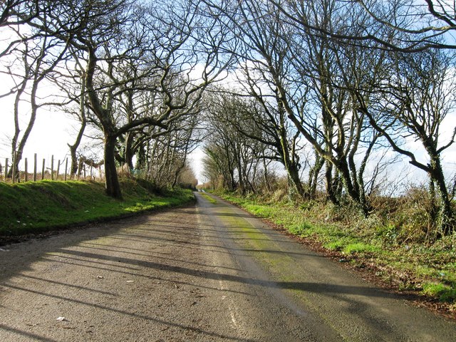
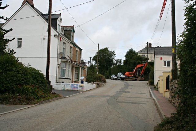
Black Cross is a small village located in the southwestern county of Cornwall, England. Situated approximately 5 miles northwest of the popular seaside town of Bude, Black Cross is nestled in a picturesque rural setting, surrounded by rolling hills and farmland. The village is part of the Stratton Civil Parish and falls within the local government district of Cornwall Council.
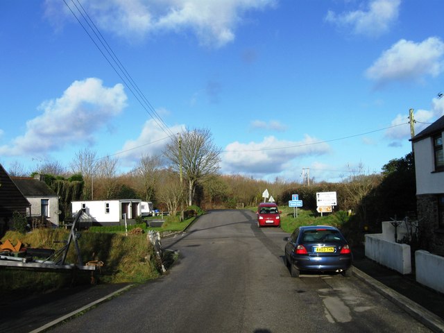
Despite its small size, Black Cross offers a range of amenities for both residents and visitors. The village is home to a local pub, which serves as a gathering place for the community and attracts tourists looking for a taste of traditional Cornish hospitality. Additionally, there is a small convenience store that provides essential groceries and household items.
Surrounded by natural beauty, Black Cross offers numerous opportunities for outdoor activities. The nearby countryside provides ample walking and hiking trails, allowing visitors to explore the scenic landscapes and enjoy the fresh air. The village is also in close proximity to the North Cornwall coast, offering easy access to sandy beaches and stunning coastal vistas.
Black Cross enjoys a peaceful and tranquil atmosphere, making it an ideal destination for those seeking a relaxing getaway. The village's rural charm, combined with its convenient location, ensures that visitors can experience the best of Cornwall's countryside while still being within reach of larger towns and attractions.
If you have any feedback on the listing, please let us know in the comments section below.
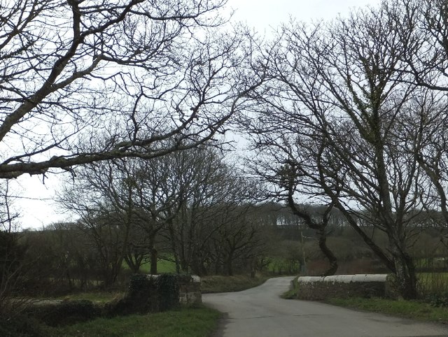
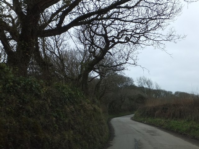
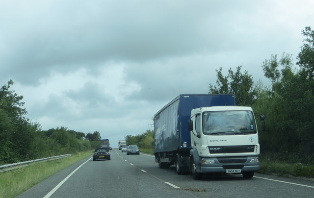
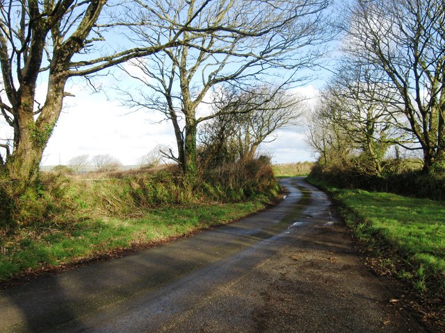
Black Cross Images
Images are sourced within 2km of 50.408694/-4.941598 or Grid Reference SW9160. Thanks to Geograph Open Source API. All images are credited.


Black Cross is located at Grid Ref: SW9160 (Lat: 50.408694, Lng: -4.941598)
Unitary Authority: Cornwall
Police Authority: Devon and Cornwall
What 3 Words
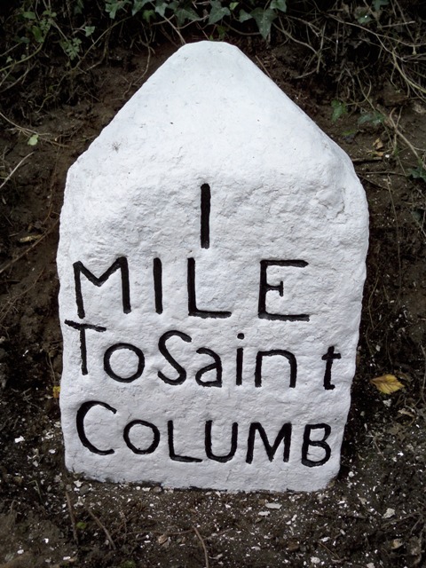
///applied.coached.befitting. Near St Columb Major, Cornwall
Nearby Locations
Related Wikis
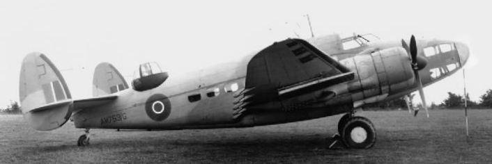
1943 RAF Hudson crash
The 1943 RAF Hudson crash was an aerial accident that killed two people. The aircraft crashed in a forced landing attempt near RAF St Eval, Cornwall, England...

Killaworgey
Killaworgey is a hamlet near Indian Queens in Cornwall, England. It is in the civil parish of St Columb Major. == References ==
Trevarren
Trevarren is a hamlet, north of Indian Queens in Cornwall, United Kingdom. == References ==

Springfields Fun Park
Springfields Fun Park is a small theme park in Cornwall, England, United Kingdom. It is situated just over one mile south of St Columb Major and advertises...
Nearby Amenities
Located within 500m of 50.408694,-4.941598Have you been to Black Cross?
Leave your review of Black Cross below (or comments, questions and feedback).