Boughrood Brest
Settlement in Radnorshire
Wales
Boughrood Brest

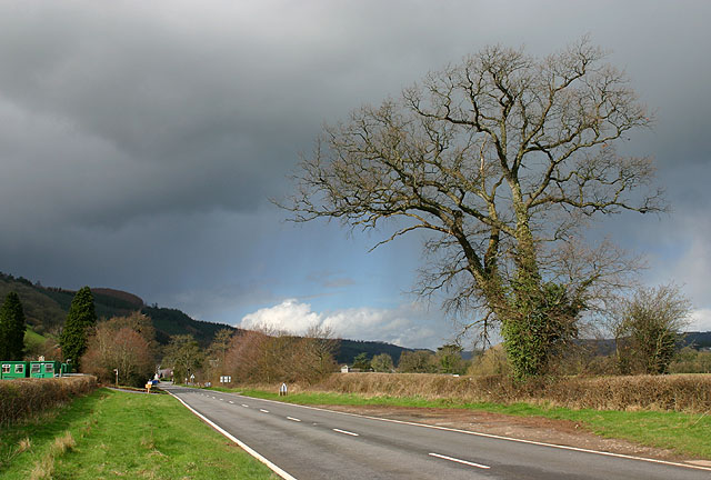
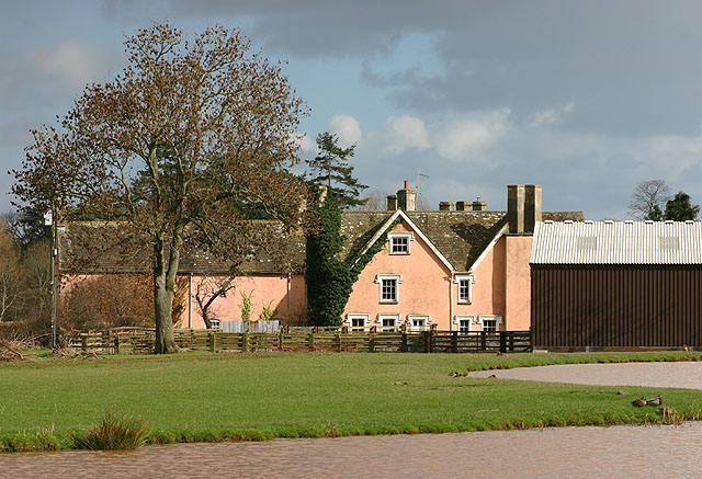
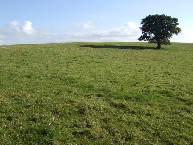
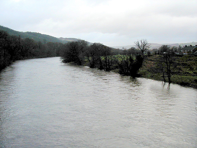
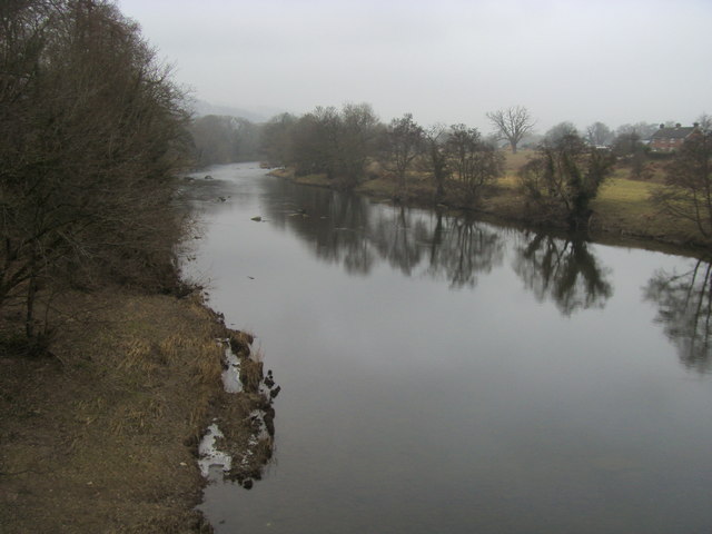
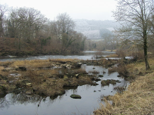
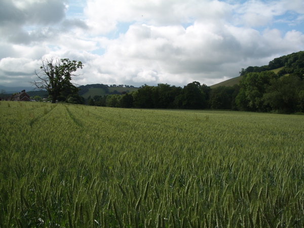
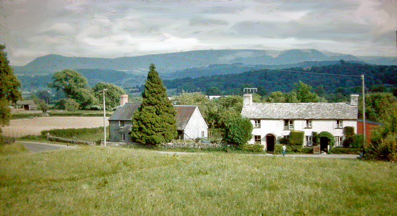
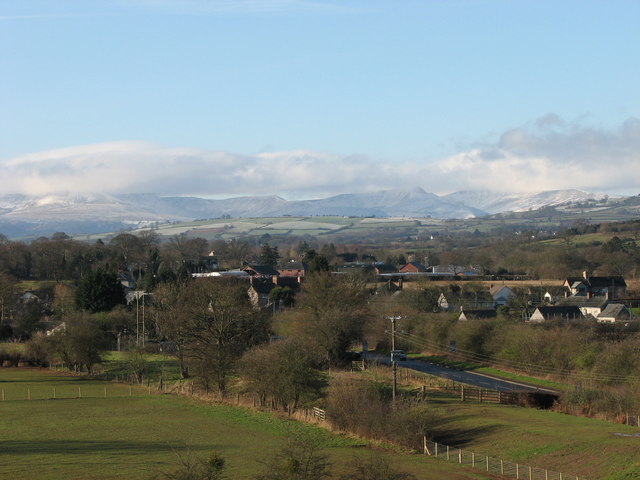
Boughrood Brest is a small village located in the historic county of Radnorshire, Wales. Situated on the banks of the River Wye, it is nestled within the stunning scenery of the Wye Valley, surrounded by rolling hills and lush countryside.
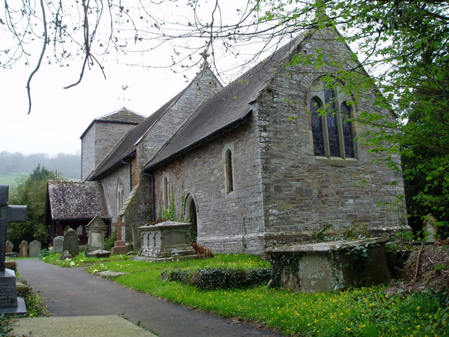
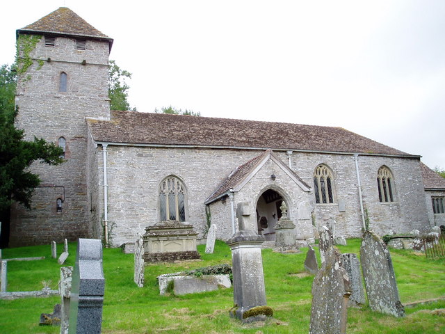
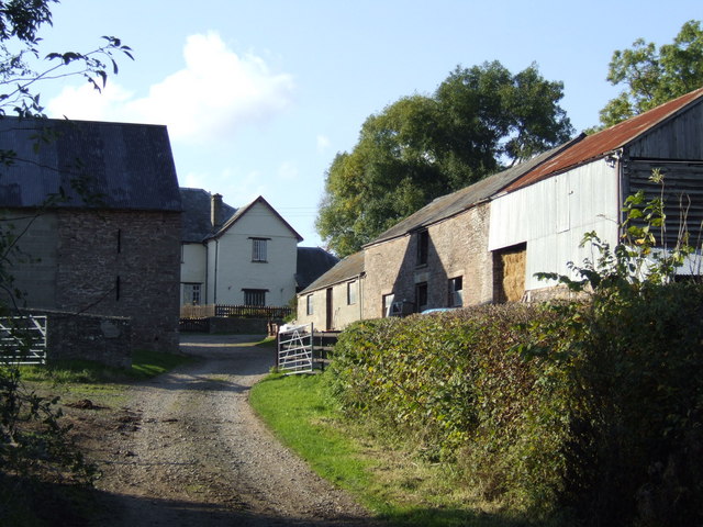
The village has a rich history, dating back to medieval times. It was once an important stop along the old drovers' road, which connected the agricultural areas of Wales with markets in England. This historical significance is evident in the village's architecture, with several well-preserved buildings from the 16th and 17th centuries still standing.
Despite its small size, Boughrood Brest offers a range of amenities to its residents and visitors. The village is home to a charming local pub, where one can enjoy a pint of traditional Welsh ale and sample some locally sourced food. There is also a village hall, which serves as a community hub and hosts various events throughout the year.
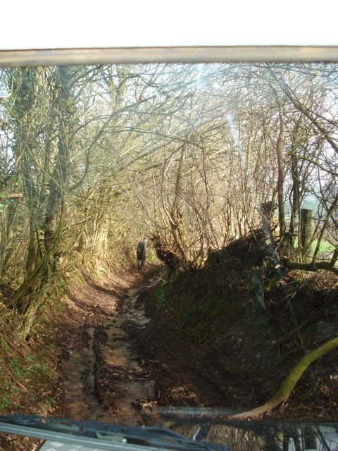
Outdoor enthusiasts are drawn to Boughrood Brest due to its proximity to the stunning natural landscapes of the Wye Valley. The village is an excellent base for exploring the area, with numerous walking and cycling trails that offer breathtaking views of the river and surrounding countryside.
Overall, Boughrood Brest is a picturesque village that offers a peaceful retreat from the hustle and bustle of modern life. Its rich history, natural beauty, and community spirit make it a delightful place to visit or call home.
If you have any feedback on the listing, please let us know in the comments section below.
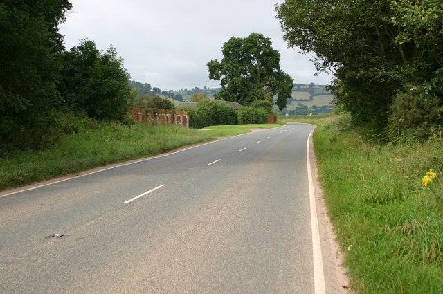
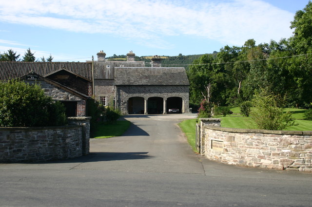
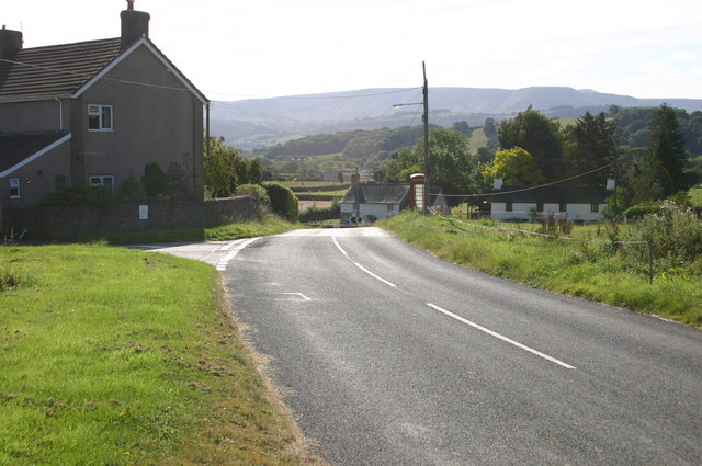
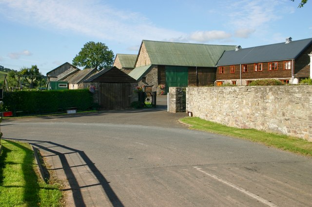
Boughrood Brest Images
Images are sourced within 2km of 52.039162/-3.244918 or Grid Reference SO1438. Thanks to Geograph Open Source API. All images are credited.


Boughrood Brest is located at Grid Ref: SO1438 (Lat: 52.039162, Lng: -3.244918)
Unitary Authority: Powys
Police Authority: Dyfed Powys
What 3 Words
///epidemics.slouched.broads. Near Talgarth, Powys
Nearby Locations
Related Wikis
Boughrood Brest
Boughrood Brest (Welsh Brest Bochrwyd) is a settlement in Glasbury-on-Wye, Powys, Wales, which is 39 miles (62 km) from Cardiff and 138 miles (222 km)...

Llyswen
Llyswen is a small village in Powys, Wales on the west bank of the River Wye. It was formerly within the county of Brecknockshire and now forms part of...

Boughrood & Llyswen railway station
Boughrood and Llyswen railway station, in Boughrood Powys, Wales, was opened on 21 September 1864 by the Mid-Wales Railway as Boughrood Station, although...

Boughrood
Boughrood (Welsh: Bochrwyd) is a village in the community of Glasbury in Powys, Wales. Historically in Radnorshire, the village is situated near the River...
Pipton
Pipton is a small settlement and former civil parish (or community) in Powys, Wales on the Afon Llynfi near its confluence with the River Wye. It was...
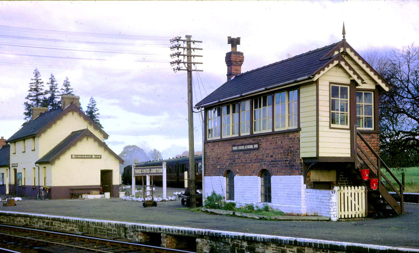
Three Cocks Junction railway station
Three Cocks Junction railway station (colloquially as Lucky Man Junction) was a station in Three Cocks, Powys, Wales. The station closed in 1962. The station...
Three Cocks
Three Cocks or Aberllynfi (Welsh: [ˌabɛrˈɬənvi]) is a village near Glasbury in Powys, Wales. The Welsh name refers to the mouth of the Afon Llynfi which...
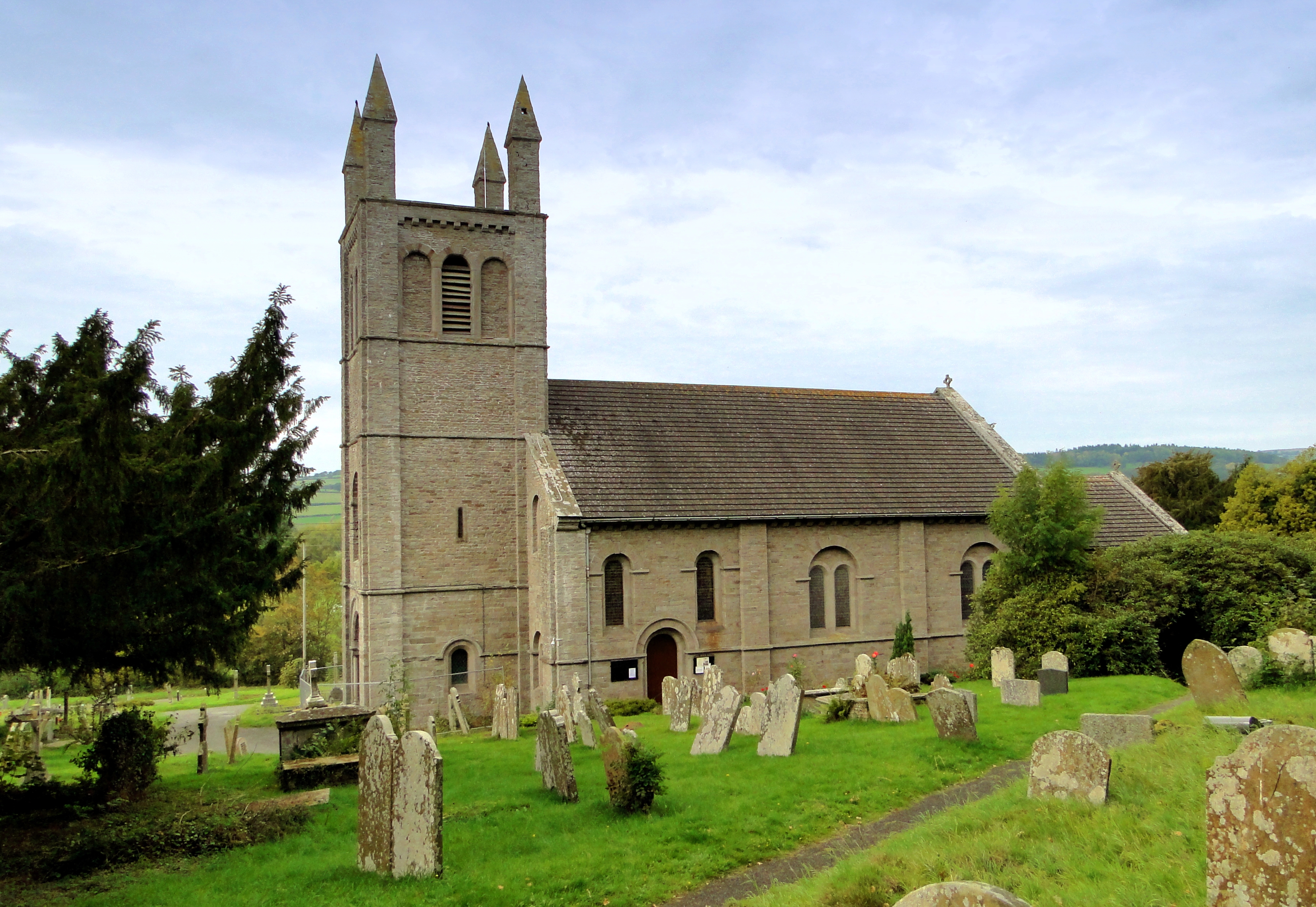
St Peter's Church, Glasbury
The Church of St Peter (and St Cynidr) is located outside the Welsh village of Glasbury and dates back to the sixth century. Near the confluence of the...
Nearby Amenities
Located within 500m of 52.039162,-3.244918Have you been to Boughrood Brest?
Leave your review of Boughrood Brest below (or comments, questions and feedback).