Boughspring

Settlement in Gloucestershire Forest of Dean

England

Boughspring

Cliff by the River Wye
Cliff by the River Wye Credit: Row17

Boughspring is a small village located in the county of Gloucestershire, England. Situated in the picturesque Cotswolds region, it is surrounded by rolling hills and verdant countryside, offering residents and visitors a tranquil and idyllic setting.

The village itself is characterized by its charming stone houses, many of which date back several centuries, giving it a distinct historic feel. Boughspring is home to a close-knit community, with a population of approximately 500 residents. The village boasts a strong sense of community spirit, which is evident in the various local events and activities that take place throughout the year.

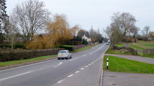
Despite being a small village, Boughspring offers a range of amenities to cater to its residents' needs. These include a village hall, a primary school, a church, and a local pub. Additionally, the village is well-connected to nearby towns and cities, with good transport links via road and public transportation.

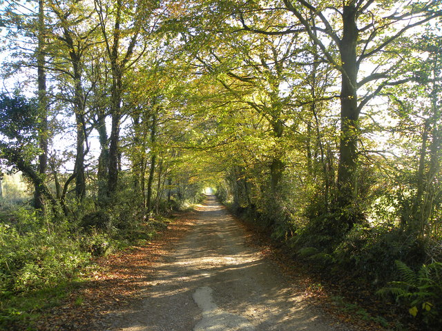
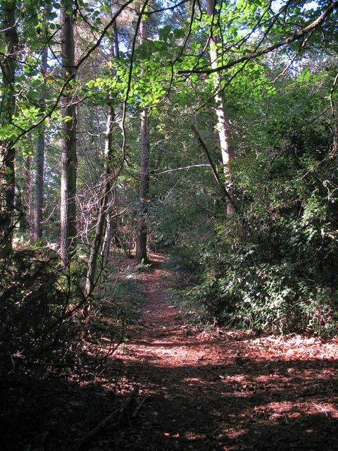
One of the major attractions of Boughspring is its proximity to the stunning Cotswolds countryside. The village is surrounded by picturesque walking trails, offering breathtaking views of the rolling hills and lush green landscapes. Nature enthusiasts and outdoor lovers can explore the nearby Cotswold Way, which passes through Boughspring, providing ample opportunities for hiking, cycling, and enjoying the natural beauty of the area.

Overall, Boughspring is a quintessential English village, offering a peaceful and picturesque lifestyle in the heart of the Cotswolds. With its rich history, strong community spirit, and stunning natural surroundings, it is a place that truly embodies the charm and beauty of rural Gloucestershire.

If you have any feedback on the listing, please let us know in the comments section below.
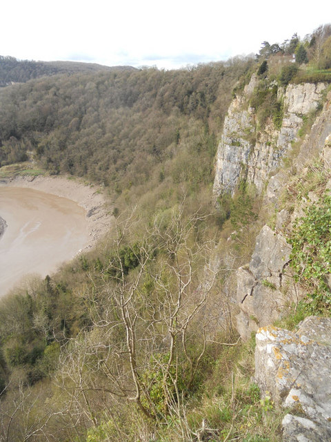
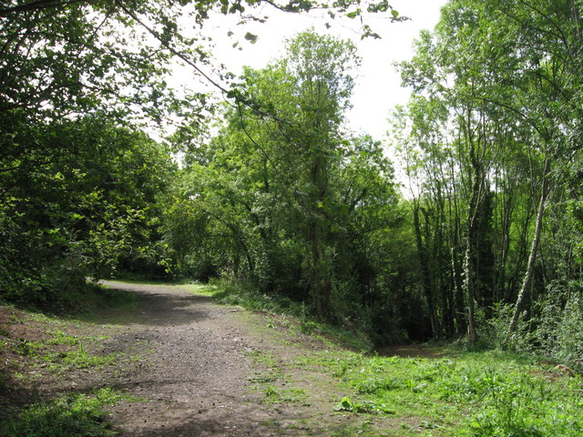
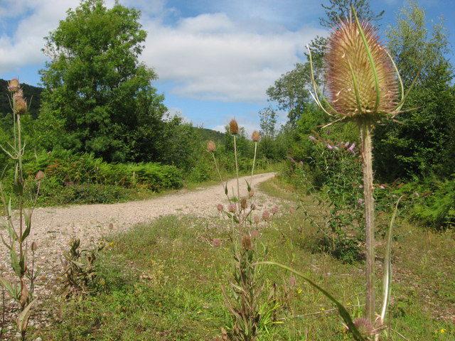
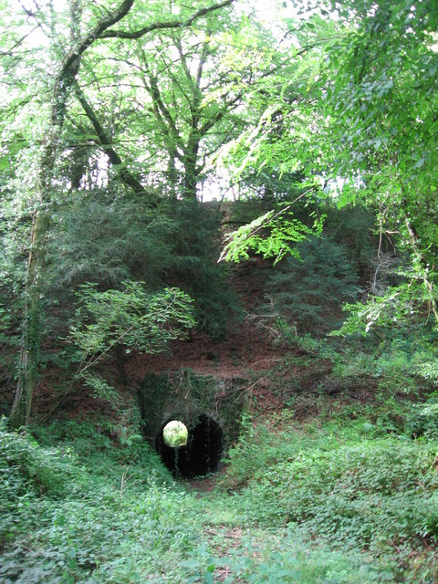
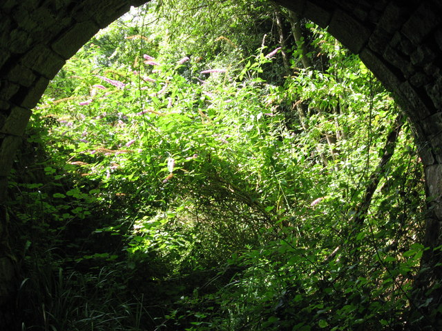
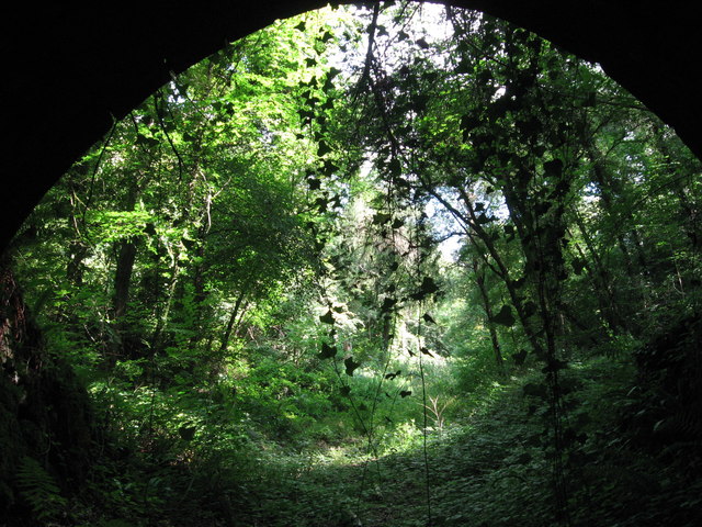
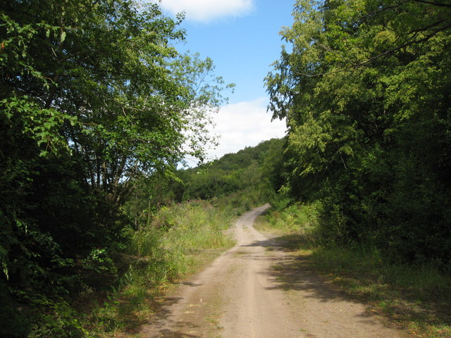
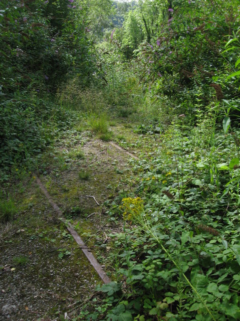
Boughspring Images

Images are sourced within 2km of 51.67157/-2.645647 or Grid Reference ST5597. Thanks to Geograph Open Source API. All images are credited.

Cliff by the River Wye
Path along course of Wye Valley Railway near Tintern The railway line carried on straight ahead at this point, through the trees. Walkers now have a choice and can drop down right, or go up to the left.
Path along course of Wye Valley Railway near Tintern
The railway line carried on straight ahead at this point, through the trees. Walkers now have a choice and can drop down right, or go up to the left.
Path junction in woods near River Wye
Tunnel beneath disused railway line near Tintern Quarry
(No) light at the end of the tunnel The path at the western end of the tunnel (<a href="https://www.geograph.org.uk/photo/2544718">ST5498 : Tunnel beneath disused railway line near Tintern Quarry</a>) is very overgrown and currently impassable.
(No) light at the end of the tunnel
The path at the western end of the tunnel (ST5498 : Tunnel beneath disused railway line near Tintern Quarry) is very overgrown and currently impassable.
Path from tunnel under railway near Tintern Quarry The view from the eastern portal of <a href="https://www.geograph.org.uk/photo/2544718">ST5498 : Tunnel beneath disused railway line near Tintern Quarry</a> shows an overgrown, but still passable path.
Path from tunnel under railway near Tintern Quarry
The view from the eastern portal of ST5498 : Tunnel beneath disused railway line near Tintern Quarry shows an overgrown, but still passable path.
Path near Tintern Quarry
Disused railway near Tintern Quarry The rails are still in place, though obviously have not seen a train for many years!
Disused railway near Tintern Quarry
The rails are still in place, though obviously have not seen a train for many years!
Part of Tintern Quarry
Footpath near Tintern Quarry
Gateway to Tintern Quarry
Beside Offa's Dyke
Beside Offa's Dyke
Miss Graces Lane This lane borders "The Park", an area of woodland and heathland.
Miss Graces Lane
This lane borders "The Park", an area of woodland and heathland.
Path through Parson's Allotment Public footpath passing through mixed woodland.
Path through Parson's Allotment
Public footpath passing through mixed woodland.
A48 at Stroat Looking north-east towards Lydney and Gloucester.
A48 at Stroat
Looking north-east towards Lydney and Gloucester.
Path descending towards the River Wye Buddleia prospers beside the path here.
Path descending towards the River Wye
Buddleia prospers beside the path here.
Rockfall below cliffs above the Wye A pretty impressive rockfall with large boulders tumbled down to the river bank.
Rockfall below cliffs above the Wye
A pretty impressive rockfall with large boulders tumbled down to the river bank.
View over the River Wye below Wintour's Leap The distinctive inlet is on the opposite bank.
View over the River Wye below Wintour's Leap
The distinctive inlet is on the opposite bank.
Show me another place!

Boughspring is located at Grid Ref: ST5597 (Lat: 51.67157, Lng: -2.645647)

Administrative County: Gloucestershire

District: Forest of Dean

Police Authority: Gloucestershire

What 3 Words

///sprains.cautious.wording. Near Tintern, Monmouthshire

Nearby Locations

Boughspring

Related Wikis

Boughspring

Boughspring is a hamlet in Gloucestershire, England. == History == Settlement at Boughspring dates back to Roman times when a villa was built nearby. Boughspring...

Caerwood and Ashberry Goose House

Caerwood And Ashberry Goose House (ST54719655 ST54649657) is a 0.01-hectare (0.025-acre) biological Site of Special Scientific Interest in Gloucestershire...

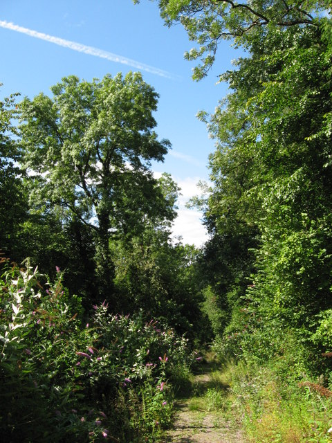
Netherhope Halt railway station

Netherhope Halt was a railway station on the former Wye Valley Railway. It was opened in 1932 and closed in 1959; it was demolished soon afterwards....
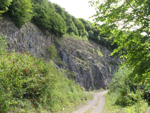
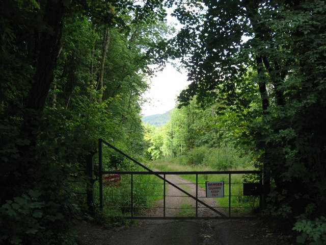
Tintern Quarry

Tintern Quarry was a quarry in the Forest of Dean, Gloucestershire, England. It was served by the Wye Valley Railway from 1876 until it closed in 1981...

Tidenham

Tidenham () is a village and civil parish in the Forest of Dean of west Gloucestershire, England, adjoining the Welsh border. Tidenham is bounded by the...

Church of St Mary and St Peter, Tidenham

The Church of St Mary and St Peter, Tidenham, is a parish church of the Diocese of Gloucester, England. It dates from the 13th and 14th centuries, and...

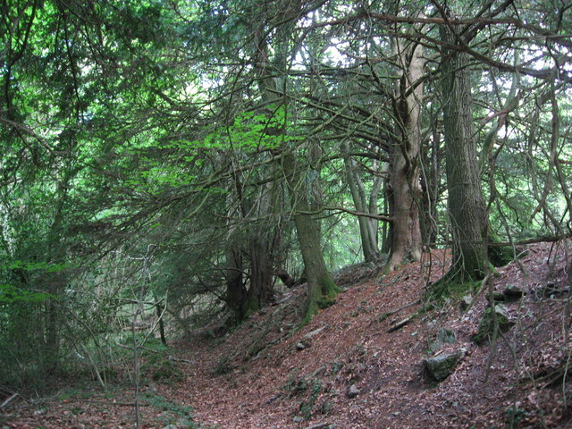
Lower Wye Gorge SSSI

Lower Wye Gorge (grid reference ST548983, ST537967) is a 65-hectare (160-acre) biological and geological Site of Special Scientific Interest in Gloucestershire...

Ridley Bottom, Tidenham

Ridley Bottom (grid reference ST563985) is a 1.1-hectare (2.7-acre) nature reserve in Gloucestershire. The site is listed in the 'Forest of Dean Local...

Nearby Amenities

Located within 500m of 51.67157,-2.645647
Bus Stop
Dennel Hill
Naptan AtcoCode: 1600GLF755
Naptan Bearing: SW
Naptan CommonName: Dennel Hill
Naptan NaptanCode: gloadgmw
Naptan Street: B4228
Naptan Verified: no
Source: naptan_import
Lat/Long: 51.6727458/-2.6521932
Bus Stop
Dennel Hill
Naptan AtcoCode: 1600GLF756
Naptan Bearing: NE
Naptan CommonName: Dennel Hill
Naptan NaptanCode: gloadgmt
Naptan Street: B4228
Naptan Verified: no
Source: naptan_import
Lat/Long: 51.6728446/-2.6522236
Boughspring
Place: hamlet
Wikidata: Q4949413
Lat/Long: 51.6723529/-2.6427828
Place: farm
Lat/Long: 51.6709965/-2.6483225
The Old Nursery
Lat/Long: 51.6726686/-2.6465272
Barrier: kissing_gate
Lat/Long: 51.6707374/-2.6473515
Post Box
Collection Times: Mo-Fr 09:00; Sa 07:00
Operator: Royal Mail
Post Box Type: wall
Ref: NP16 473D
Royal Cypher: GR
Royal Cypher Wikidata: Q33102273
Lat/Long: 51.6727481/-2.6522152
Barrier: kissing_gate
Lat/Long: 51.6718232/-2.6476655
Barrier: stile
Lat/Long: 51.6725406/-2.6478185
Power: pole
Lat/Long: 51.6742152/-2.6447788
Power: pole
Lat/Long: 51.6749603/-2.6444623
Power: pole
Transformer: distribution
Lat/Long: 51.6755392/-2.644245
Power: pole
Lat/Long: 51.6735607/-2.6446916
Power: pole
Lat/Long: 51.6744713/-2.6451141
Power: pole
Lat/Long: 51.6744763/-2.6465262
Power: pole
Transformer: distribution
Lat/Long: 51.6754119/-2.6481383
The data included in this document is from www.openstreetmap.org. The data is made available under ODbL.

Have you been to Boughspring?

Leave your review of Boughspring below (or comments, questions and feedback).