Bottomcraig

Settlement in Fife

Scotland

Bottomcraig

Field, The Gauldry North of the Main Road
Field, The Gauldry Credit: Richard Webb

Bottomcraig is a small rural village located in the county of Fife, Scotland. Situated on the northern coast of the Firth of Forth, it is surrounded by picturesque countryside and offers stunning views of the sea. The village is part of the larger parish of Kingsbarns and is approximately 9 miles southeast of St Andrews.

Known for its tranquility and natural beauty, Bottomcraig is a popular destination for those seeking a peaceful retreat away from the bustle of urban life. The village is characterized by its charming cottages and traditional architecture, which gives it a distinct rural Scottish feel.

The area around Bottomcraig is renowned for its stunning beaches, including the nearby Kingsbarns Beach, which boasts golden sands and dramatic cliffs. Nature enthusiasts can enjoy coastal walks along the Fife Coastal Path, which passes through the village, providing opportunities to observe local wildlife and breathtaking sea views.

Although small in size, Bottomcraig offers a range of amenities for residents and visitors. The village is home to a local pub, providing a cozy spot to enjoy a drink and socialize with locals. Additionally, there are a few bed and breakfast accommodations, allowing visitors to experience the village's charm and hospitality.

Overall, Bottomcraig is a hidden gem in Fife, offering a tranquil and idyllic setting for those seeking natural beauty and a peaceful escape. Its proximity to the coast and picturesque countryside make it a haven for nature lovers and an ideal spot for relaxation.

If you have any feedback on the listing, please let us know in the comments section below.
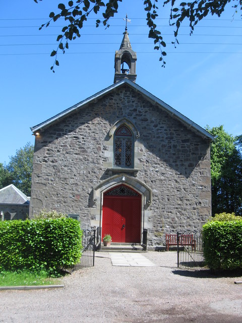
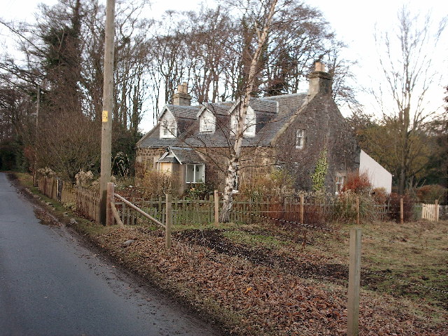
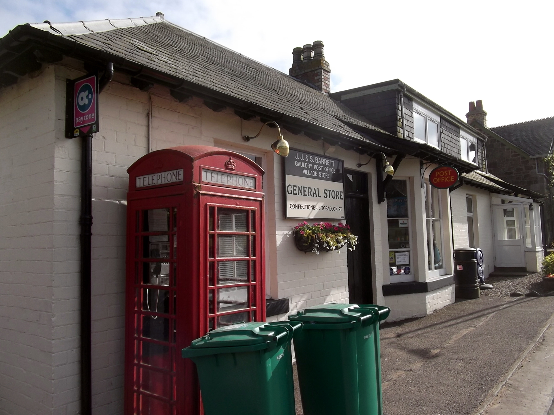
Bottomcraig Images

Images are sourced within 2km of 56.408524/-3.024976 or Grid Reference NO3624. Thanks to Geograph Open Source API. All images are credited.

Field, The Gauldry North of the Main Road
Field, The Gauldry
North of the Main Road
Path to Naughton Castle Descent from The Gauldry
Path to Naughton Castle
Descent from The Gauldry
Wheat, The Gauldry Over Main Road from the village, taken a few hours before it was harvested.
Wheat, The Gauldry
Over Main Road from the village, taken a few hours before it was harvested.
Path to Naughton Castle Gauldry to Norton Castle path in descent.
Path to Naughton Castle
Gauldry to Norton Castle path in descent.
Track over Scurr Hill Above Naughton, part of a network of paths around Balmerino.
Track over Scurr Hill
Above Naughton, part of a network of paths around Balmerino.
Track over Scurr Hill Followed out easily to Peacehill.
Track over Scurr Hill
Followed out easily to Peacehill.
Path over Scurr Hill Towards Balmerino.
Path over Scurr Hill
Towards Balmerino.
Scurr Hill Looking towards the summit. There is a path along the ridge but it requires getting past electric fences with those Slinky like openings.
Scurr Hill
Looking towards the summit. There is a path along the ridge but it requires getting past electric fences with those Slinky like openings.
Path of destruction A round bale has gone for a trundle, leaving a trail through a crop yet to be harvested. A good illustration of the dangers of these things.
Path of destruction
A round bale has gone for a trundle, leaving a trail through a crop yet to be harvested. A good illustration of the dangers of these things.
Track on Hay's Hill A through route to Peacehill.
Track on Hay's Hill
A through route to Peacehill.
View of Dundee From Hay's Hill between Wormit and Balmerino.
View of Dundee
From Hay's Hill between Wormit and Balmerino.
Path on Hays Hill
Path on Hays Hill
Road, Kilburns A through route from Naughton or Balmerino to Peacehill.
Road, Kilburns
A through route from Naughton or Balmerino to Peacehill.
Log stacks near Peacehill
Road, Kilburns Access road via Peacehill.
Road, Kilburns
Access road via Peacehill.
Path, Brownlie Wood A path out of Gauldry.
Path, Brownlie Wood
A path out of Gauldry.
Road passing Dandies Wood A farm road leaving The Gauldry.
Road passing Dandies Wood
A farm road leaving The Gauldry.
Summit, Shambleton Hill A path runs through the broom, it is a part of a circuit from The Gauldry.
Summit, Shambleton Hill
A path runs through the broom, it is a part of a circuit from The Gauldry.
Show me another place!

Bottomcraig is located at Grid Ref: NO3624 (Lat: 56.408524, Lng: -3.024976)

Unitary Authority: Fife

Police Authority: Fife

What 3 Words

///spun.investors.explains. Near Invergowrie, Perth & Kinross

Related Wikis

Nearby Amenities

Located within 500m of 56.408524,-3.024976
Bottomcraig
Place: hamlet
Wikidata: Q4949150
Wikipedia: en:Bottomcraig
Lat/Long: 56.407962/-3.0248483
Post Box
Collection Times: Mo-Fr 16:15; Sa 11:00
Operator: Royal Mail
Post Box Type: wall
Ref: DD6 68
Royal Cypher: VR
Royal Cypher Wikidata: Q33102356
Lat/Long: 56.4082819/-3.0242121
Bus Stop
Bench: yes
Bus: yes
Naptan AtcoCode: 6500N0646
Naptan NaptanCode: 34346963
Public Transport: platform
Shelter: yes
Lat/Long: 56.4084435/-3.02488
Material: wood
Power: pole
Lat/Long: 56.4079703/-3.0205254
Material: wood
Power: pole
Lat/Long: 56.409527/-3.0225116
Material: wood
Power: pole
Lat/Long: 56.4089838/-3.021825
Material: wood
Power: pole
Lat/Long: 56.4084645/-3.0211705
Material: wood
Power: pole
Lat/Long: 56.4076305/-3.0192769
Material: wood
Power: pole
Lat/Long: 56.4109308/-3.0267736
Material: wood
Power: pole
Lat/Long: 56.4110257/-3.0281496
Material: wood
Power: pole
Lat/Long: 56.4111237/-3.0295014
Material: wood
Power: pole
Lat/Long: 56.4112127/-3.0306387
Power: pole
Lat/Long: 56.410934/-3.0267659
Power: pole
Lat/Long: 56.410839/-3.0254029
Power: pole
Lat/Long: 56.4107291/-3.0240399
Power: pole
Lat/Long: 56.4101879/-3.0233656
Power: pole
Lat/Long: 56.4102096/-3.0221659
Power: pole
Lat/Long: 56.4102062/-3.0206561
Power: pole
Lat/Long: 56.4102039/-3.019535
Power: pole
Lat/Long: 56.4072436/-3.0177965
Generator Method: photovoltaic
Generator Output Electricity: yes
Generator Source: solar
Generator Type: solar_photovoltaic_panel
Power: generator
Lat/Long: 56.4099921/-3.0260413
The data included in this document is from www.openstreetmap.org. The data is made available under ODbL.

Have you been to Bottomcraig?

Leave your review of Bottomcraig below (or comments, questions and feedback).