Bottom Pond
Settlement in Kent Swale
England
Bottom Pond
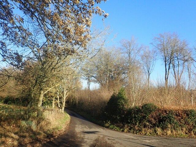
Bottom Pond is a small freshwater pond located in the county of Kent, in the southeastern region of England. Situated within the picturesque countryside, it is nestled amidst the rolling hills and lush greenery that characterizes this area of the country. The pond is specifically situated in the rural village of Kent, which is known for its tranquil and idyllic surroundings.
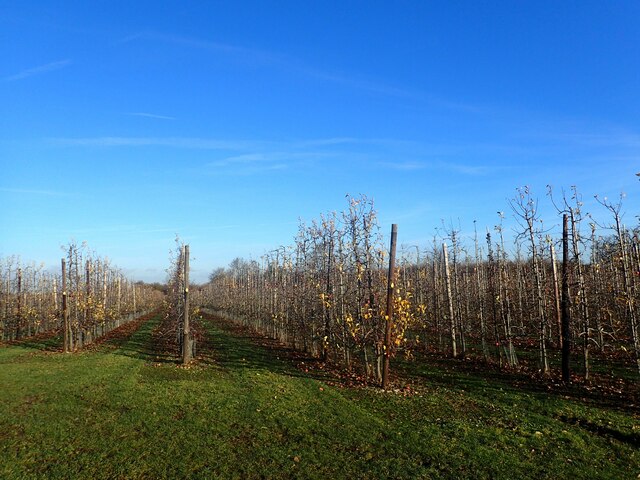
The pond itself is relatively small, with a surface area of approximately one acre. It is surrounded by a diverse range of vegetation, including reeds, lily pads, and various species of aquatic plants that provide a habitat for a variety of wildlife. The water is clean and clear, supporting a thriving ecosystem of fish, insects, and birds.
Bottom Pond offers a peaceful and serene setting, attracting both locals and visitors alike. It is a popular spot for fishing enthusiasts, who are drawn to the pond's abundant population of fish, including carp, perch, and roach. The tranquil atmosphere also makes it a favored spot for nature lovers and photographers, who come to capture the beauty of the surrounding landscape and the wildlife that frequents the area.
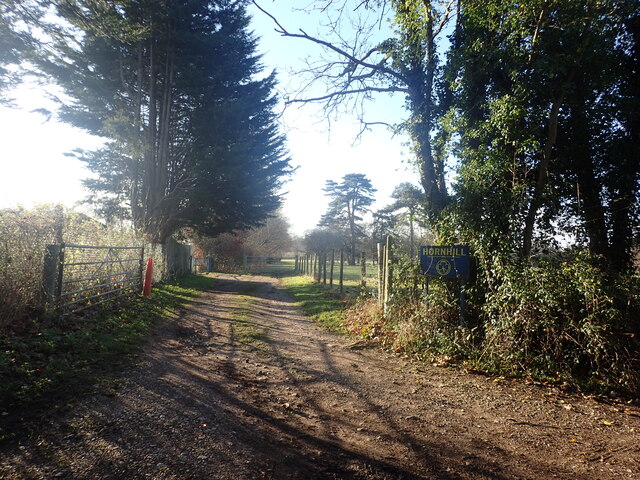
Access to Bottom Pond is relatively easy, with nearby parking available for those traveling by car. There are also several footpaths and trails that lead to the pond, making it accessible for those who prefer to explore the area on foot or by bike.
Overall, Bottom Pond is a charming and peaceful oasis in the heart of Kent, offering visitors a chance to connect with nature and enjoy the beauty of the English countryside.
If you have any feedback on the listing, please let us know in the comments section below.
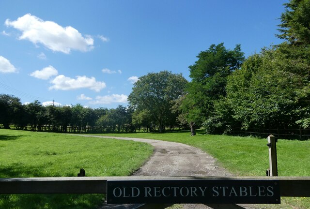
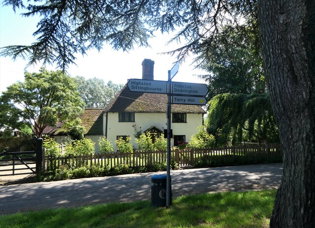
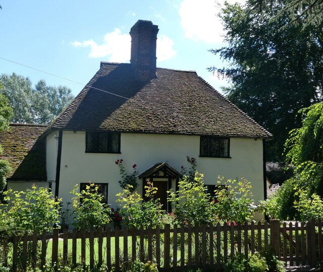
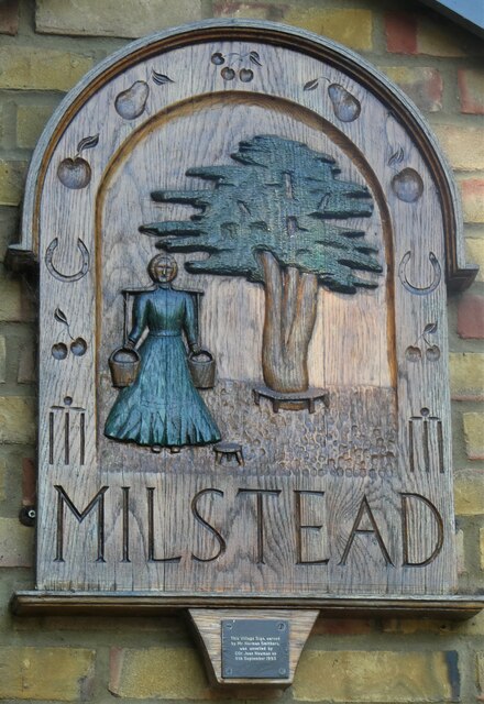
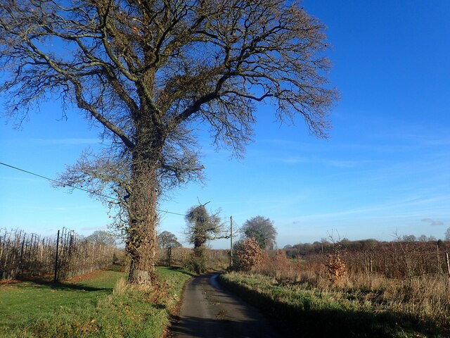
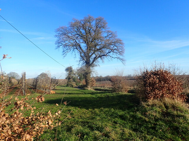
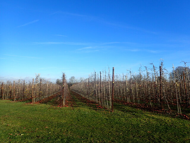
Bottom Pond Images
Images are sourced within 2km of 51.289765/0.70914636 or Grid Reference TQ8958. Thanks to Geograph Open Source API. All images are credited.

Bottom Pond is located at Grid Ref: TQ8958 (Lat: 51.289765, Lng: 0.70914636)
Administrative County: Kent
District: Swale
Police Authority: Kent
What 3 Words
///attends.screeches.goes. Near Sittingbourne, Kent
Nearby Locations
Related Wikis

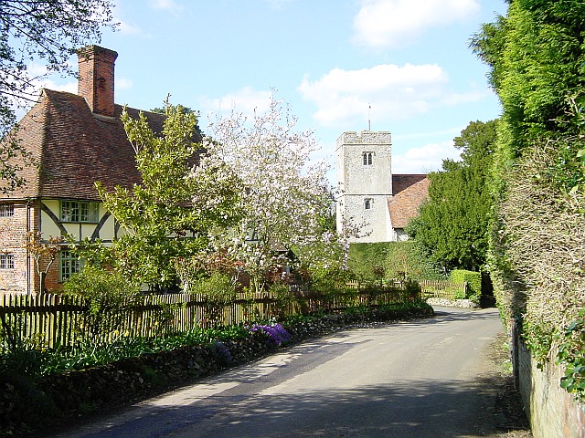
Frinsted
Frinsted or Frinstead is a small village and civil parish in the ecclesiastical parish of Wormshill and in the Maidstone District of Kent, England. and...

St Giles Church, Wormshill
St Giles Church is the sole church in the village of Wormshill in Kent. The church is Anglican and is dedicated to Saint Giles. It forms part of the united...
Wormshill
Wormshill ( wurmz-HIL), historically Wormsell, is a small village and civil parish within the Borough of Maidstone, Kent, England. The parish is approximately...

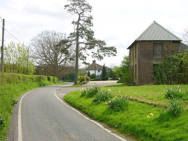
Bexon
Bexon is a village in Kent, England, situated North of the parishes of Frinsted and Bicknor, just south of the M2 motorway. Bexon is also the name of...
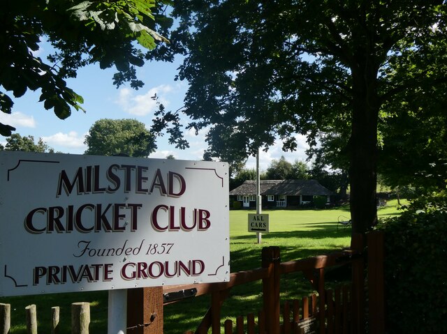
Milstead
Milstead is a village and civil parish in the borough of Swale in Kent, England. It is surrounded by the villages of Frinsted, Wichling, Doddington and...
Bedmonton
Bedmonton or Bedmanton is a hamlet situated about five miles (8 km) on a minor road between the B2163 road and Wormshill to the south of Sittingbourne...
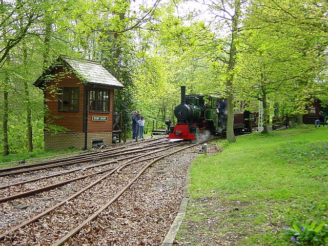
Bredgar and Wormshill Light Railway
The Bredgar and Wormshill Light Railway (BWLR) is located near the villages of Wormshill and Bredgar in Kent, just south of Sittingbourne. It is a 2 ft...
Ringlestone
Ringlestone is a hamlet between Wormshill and Harrietsham in the Maidstone district of Kent, England. It is in the civil parish of Wormshill. Ringlestone...
Nearby Amenities
Located within 500m of 51.289765,0.70914636Have you been to Bottom Pond?
Leave your review of Bottom Pond below (or comments, questions and feedback).