Bottom of Hutton
Settlement in Lancashire South Ribble
England
Bottom of Hutton

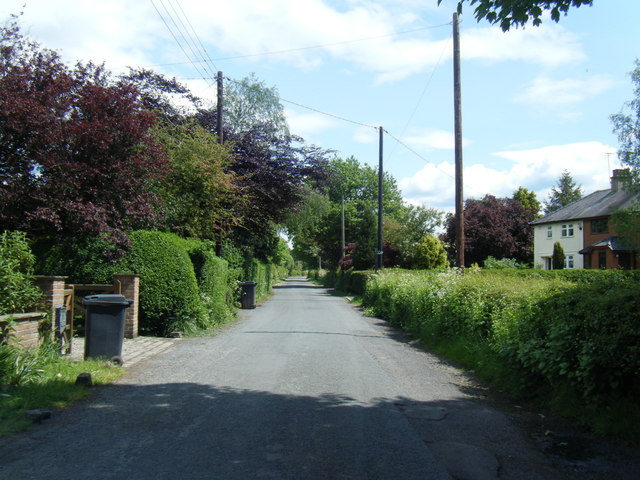
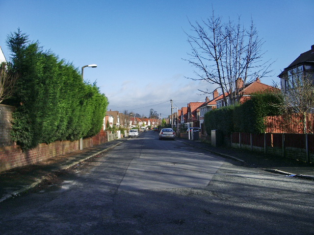
Bottom of Hutton is a small village located in the county of Lancashire, England. Situated in the South Ribble district, it is nestled between the towns of Preston and Leyland. The village is primarily residential, consisting of a mix of detached and semi-detached houses.
The area is known for its picturesque countryside, with rolling hills and green fields surrounding the village. The nearby River Lostock adds to the natural beauty of the landscape. Bottom of Hutton offers a peaceful and tranquil environment, away from the hustle and bustle of city life.
Despite its rural setting, the village benefits from excellent transport links. The M6 motorway is easily accessible, providing convenient connections to nearby cities such as Manchester and Liverpool. The nearby train station in Leyland offers regular services to Preston, Manchester, and other major cities.
Residents of Bottom of Hutton enjoy a close-knit community atmosphere, with various local amenities available. These include a village hall that hosts events and activities, a primary school, and a few shops and pubs.
For those seeking recreational activities, there are several parks and green spaces in the surrounding area. Cuerden Valley Park, with its woodland walks and picnic areas, is a popular destination for outdoor enthusiasts.
Bottom of Hutton offers a peaceful countryside retreat while still providing convenient access to urban amenities. With its beautiful surroundings and community spirit, it is an ideal place for those looking for a tranquil village lifestyle.
If you have any feedback on the listing, please let us know in the comments section below.
Bottom of Hutton Images
Images are sourced within 2km of 53.73892/-2.792126 or Grid Reference SD4727. Thanks to Geograph Open Source API. All images are credited.


Bottom of Hutton is located at Grid Ref: SD4727 (Lat: 53.73892, Lng: -2.792126)
Administrative County: Lancashire
District: South Ribble
Police Authority: Lancashire
What 3 Words
///helping.shark.paddocks. Near Freckleton, Lancashire
Nearby Locations
Related Wikis
Longton, Lancashire
Longton is a village and civil parish in the west of the borough of South Ribble, Lancashire, England. It is about 4 miles to the south west of Preston...

Ribble Way
The Ribble way is a long-distance walk between the Lancashire coast and the Yorkshire Dales National Park largely following the course of the River Ribble...
Hutton, Lancashire
Hutton is a village and civil parish in Lancashire, England. It is located 3 miles (4.8 km) south west of Preston, in the South Ribble borough and parliamentary...
Longton Bridge railway station
Longton Bridge was a railway station on the West Lancashire Railway in England. It served the village of Longton. == History == The station opened as Longton...

River Ribble
The River Ribble runs through North Yorkshire and Lancashire in Northern England. It starts close to the Ribblehead Viaduct in North Yorkshire, and is...
Howick Cross
Howick Cross is a landmark and small hamlet in Penwortham, South Ribble, Lancashire, England. It is located just over 2 miles south west of the city of...

Walmer Bridge
Walmer Bridge is a small village in Lancashire, England. Surrounding villages are Much Hoole and Longton. == History == Walmer Bridge is first recorded...
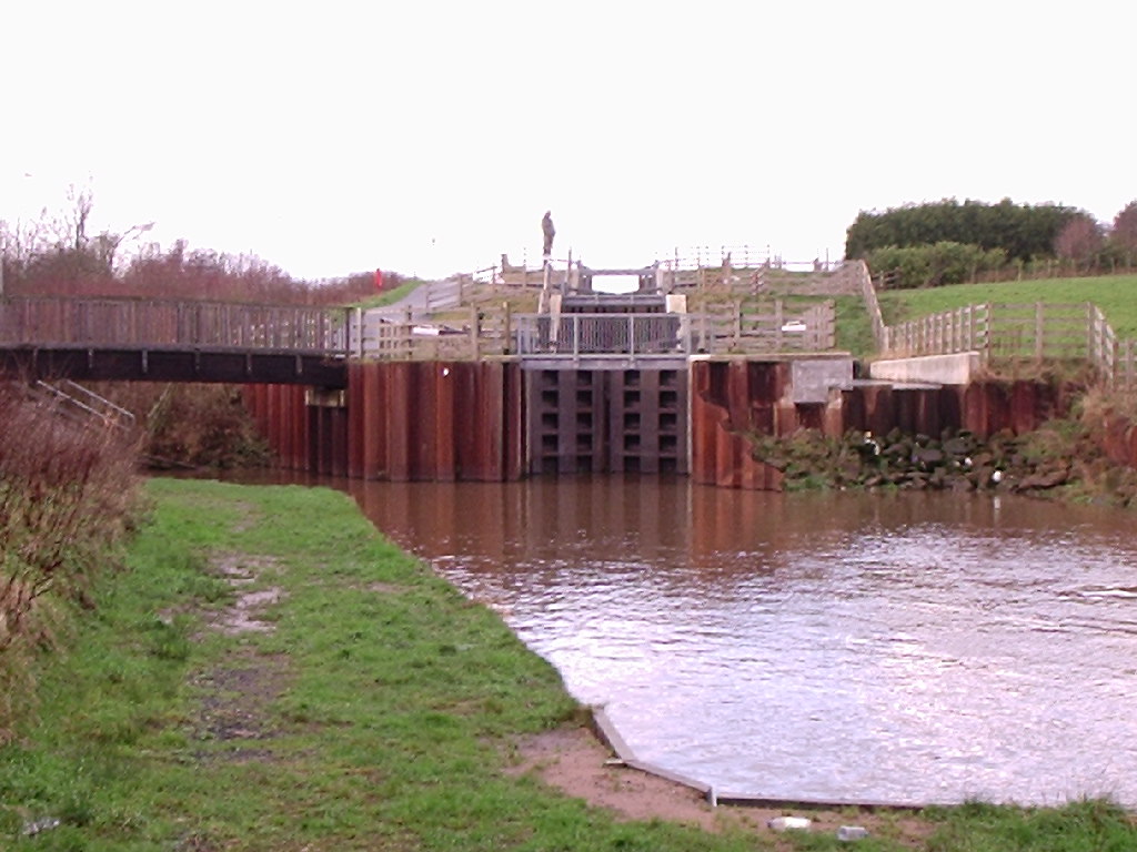
Ribble Link
The Millennium Ribble Link is a linear water park and new navigation which links the once-isolated Lancaster Canal in Lancashire, England to the River...
Nearby Amenities
Located within 500m of 53.73892,-2.792126Have you been to Bottom of Hutton?
Leave your review of Bottom of Hutton below (or comments, questions and feedback).