Coronation Wood
Wood, Forest in Fife
Scotland
Coronation Wood

Coronation Wood, located in Fife, Scotland, is an enchanting forest that covers an area of approximately 100 acres. It is nestled within the picturesque countryside, offering visitors a tranquil and serene atmosphere. The wood is named after the coronation of King George VI in 1937, which was celebrated by planting a large number of trees in his honor.
The woodland is primarily composed of native tree species, including oak, birch, and beech, creating a rich and diverse ecosystem. The dense canopy of trees provides a cool and shaded environment, making it a perfect retreat during hot summer months. The forest floor is adorned with a carpet of wildflowers, adding bursts of color to the green surroundings.
Coronation Wood is home to a variety of wildlife, making it a popular spot for nature enthusiasts. It is not uncommon to spot red squirrels darting between the trees or hear the melodic songs of birds such as blackbirds, thrushes, and robins. The wood also supports a wide range of insects, including butterflies and dragonflies.
The forest offers a network of well-maintained paths and trails, allowing visitors to explore its beauty at their own pace. There are picnic areas and benches scattered throughout, providing ample opportunities for relaxation and enjoying a packed lunch.
Coronation Wood is a cherished natural gem in Fife, offering a peaceful escape from the hustle and bustle of everyday life. Whether it's a leisurely stroll, a family picnic, or an opportunity to connect with nature, this forest provides a delightful experience for all who visit.
If you have any feedback on the listing, please let us know in the comments section below.
Coronation Wood Images
Images are sourced within 2km of 56.410382/-3.0262662 or Grid Reference NO3624. Thanks to Geograph Open Source API. All images are credited.


Coronation Wood is located at Grid Ref: NO3624 (Lat: 56.410382, Lng: -3.0262662)
Unitary Authority: Fife
Police Authority: Fife
What 3 Words
///sniff.albatross.bluntly. Near Invergowrie, Perth & Kinross
Nearby Locations
Related Wikis
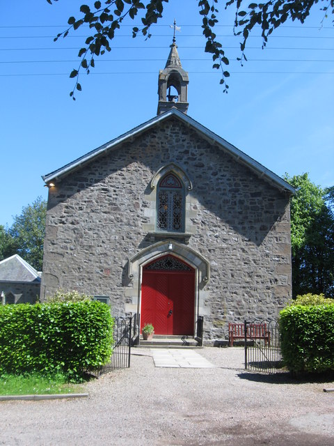
Balmerino Parish Church
Balmerino Parish Church is a Church of Scotland parish church in Bottomcraig, Fife, Scotland. The church sits in the centre of the small village where...

Balmerino Abbey
Balmerino Abbey, or St Edward's Abbey, in Balmerino, Fife, Scotland, was a Cistercian monastic community which has been ruinous since the 16th century...

Balmerino
Balmerino is a small village and former monastic centre in Fife, Scotland. It is the home of Balmerino Abbey and the former abbots of Balmerino who were...
Bottomcraig
Bottomcraig is a village in Fife, Scotland located near Balmerino and The Gauldry. The village is home to Balmerino Parish Church, built in 1811, and the...
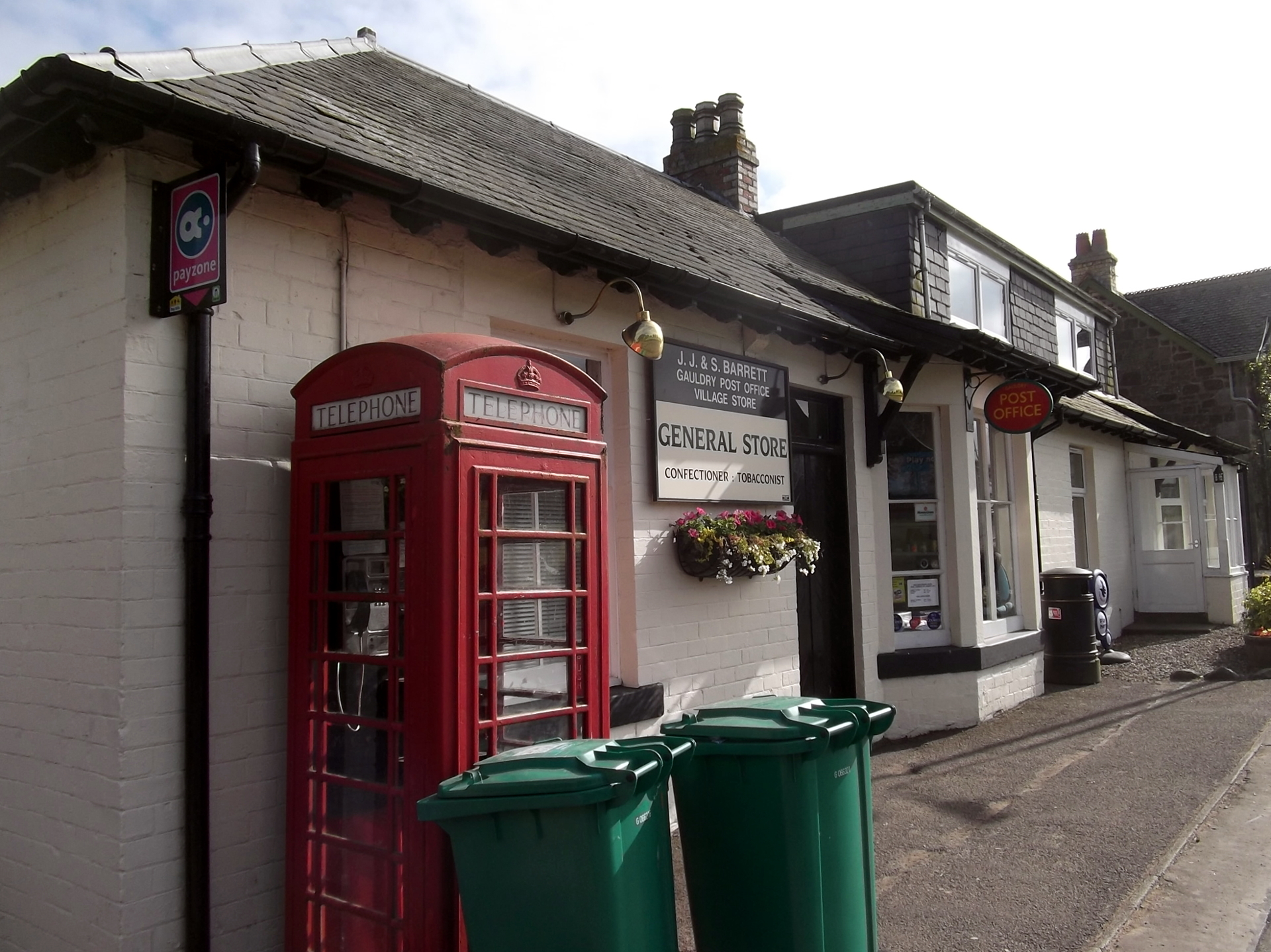
Gauldry
Gauldry, locally sometimes The Gauldry, is a village in Fife, Scotland. It is located 3 kilometres (1.9 mi) southwest of Newport on Tay, 2 kilometres...

Wormit railway station
Wormit railway station served the town of Wormit, Fife, Scotland from 1889 to 1969 on the Newport Railway. == History == The station opened on 1 May 1889...

Wormit
Wormit is a village on the south shore of the Firth of Tay in north-east Fife, Scotland. Its location at the southern end of the Tay Rail Bridge has led...
Kilmany railway station
Kilmany railway station served the village of Kilmany, Fife, Scotland from 1909 to 1951 on the Newburgh and North Fife Railway. == History == The station...
Nearby Amenities
Located within 500m of 56.410382,-3.0262662Have you been to Coronation Wood?
Leave your review of Coronation Wood below (or comments, questions and feedback).