Trefilan

Settlement in Cardiganshire

Wales

Trefilan

Ordnance Survey Rivet This OS rivet can be found on the culvert SE side of the road. It marks a point 91.074m above mean sea level.
Ordnance Survey Rivet Credit: Adrian Dust

Trefilan is a small rural village located in the county of Cardiganshire, Wales. Nestled in the picturesque countryside, it is situated approximately 5 miles southeast of the town of Aberystwyth. Trefilan is surrounded by rolling hills and lush green fields, offering a tranquil and idyllic setting.

The village itself is characterized by its traditional Welsh architecture, with a scattering of stone-built cottages and farmhouses. Trefilan is home to a close-knit community, with a population of around 200 residents. The village exudes a friendly and welcoming atmosphere, where neighbors often gather for social events and celebrations.

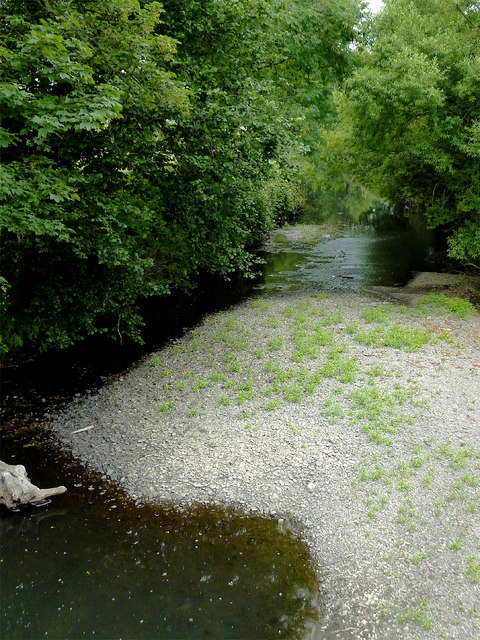
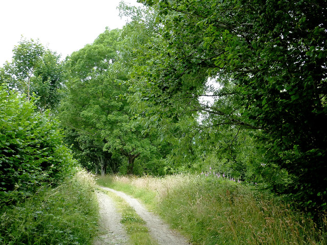
The village is surrounded by stunning natural beauty, making it a popular destination for outdoor enthusiasts. The nearby Cambrian Mountains provide ample opportunities for hiking, mountain biking, and wildlife spotting. Additionally, Trefilan is conveniently located close to the coast, allowing residents and visitors to enjoy the sandy beaches and water activities.

Despite its peaceful rural setting, Trefilan offers basic amenities to its residents. There is a small local shop that provides essential groceries and everyday items. However, for more extensive shopping and services, residents often travel to nearby Aberystwyth.

Trefilan's rich history is evident in the surrounding landscape, with traces of ancient settlements and historic landmarks. The village is also known for its strong Welsh cultural heritage, with regular community events showcasing traditional music, dance, and language.

Overall, Trefilan is a charming village that offers a slower pace of life, stunning natural surroundings, and a strong sense of community. It is an ideal destination for those seeking a peaceful retreat amidst the beauty of the Welsh countryside.

If you have any feedback on the listing, please let us know in the comments section below.
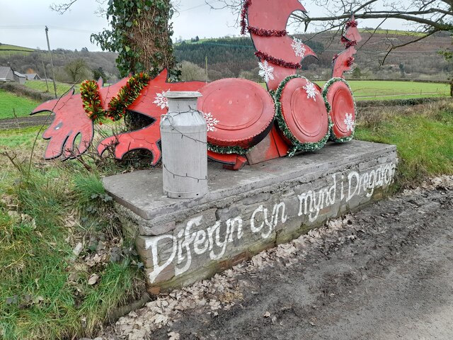
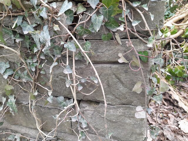
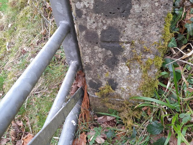
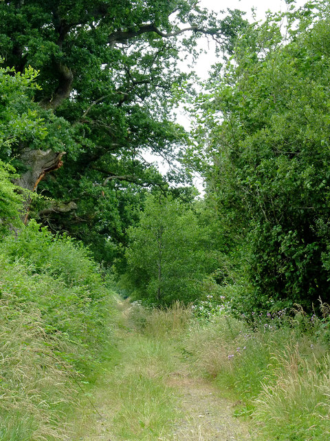
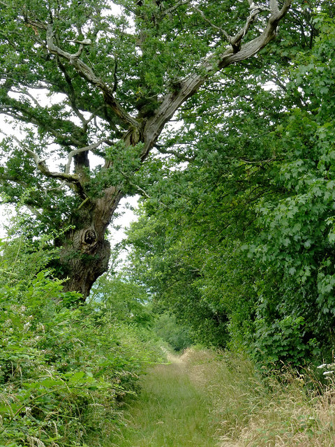
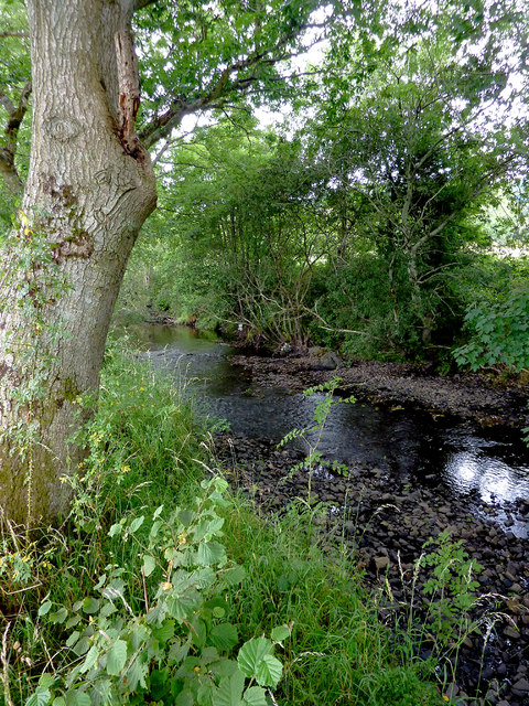
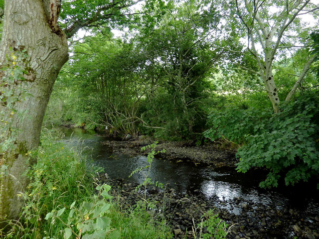
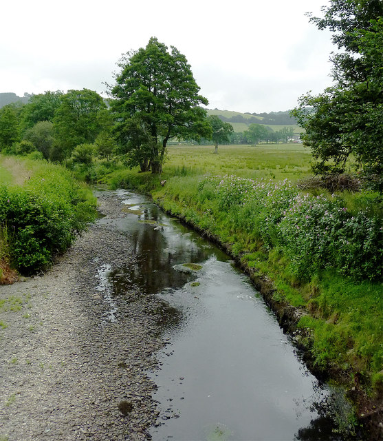
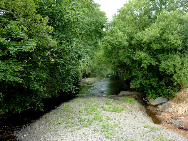
Trefilan Images

Images are sourced within 2km of 52.193381/-4.123871 or Grid Reference SN5457. Thanks to Geograph Open Source API. All images are credited.

Ordnance Survey Rivet This OS rivet can be found on the culvert SE side of the road. It marks a point 91.074m above mean sea level.
Ordnance Survey Rivet
This OS rivet can be found on the culvert SE side of the road. It marks a point 91.074m above mean sea level.
Ordnance Survey Rivet This OS rivet can be found on the churn stand east side of the road. It marks a point 75.978m above mean sea level. <a title="https://www.geograph.org.uk/photo/7412377" href="https://www.geograph.org.uk/photo/7412377">Link</a>
Ordnance Survey Rivet
This OS rivet can be found on the churn stand east side of the road. It marks a point 75.978m above mean sea level. Link
Churn Stand There is an Ordnance Survey rivet on the top of the stand. <a title="https://www.geograph.org.uk/photo/7412375" href="https://www.geograph.org.uk/photo/7412375">Link</a>
Churn Stand
There is an Ordnance Survey rivet on the top of the stand. Link
Ordnance Survey Cut Mark This OS cut mark can be found on the north parapet of the bridge. It marks a point 77.971m above mean sea level.
Ordnance Survey Cut Mark
This OS cut mark can be found on the north parapet of the bridge. It marks a point 77.971m above mean sea level.
Ordnance Survey Cut Mark This OS cut mark can be found on the north parapet of the bridge. It marks a point 81.174m above mean sea level.
Ordnance Survey Cut Mark
This OS cut mark can be found on the north parapet of the bridge. It marks a point 81.174m above mean sea level.
Ordnance Survey Cut Mark This OS cut mark can be found on the gatepost NE side of the road. It marks a point 117.661m above mean sea level.
Ordnance Survey Cut Mark
This OS cut mark can be found on the gatepost NE side of the road. It marks a point 117.661m above mean sea level.
Milestone - Aberystwyth 16
Footpath near Tal-sarn in Ceredigion The public footpath runs alongside the Afon Aeron between Talsarn and Brynog. The river is off to the right.
Footpath near Tal-sarn in Ceredigion
The public footpath runs alongside the Afon Aeron between Talsarn and Brynog. The river is off to the right.
Footpath near Tal-sarn in Ceredigion The public footpath runs alongside the Afon Aeron between Talsarn and Brynog. The river is off to the right.
Footpath near Tal-sarn in Ceredigion
The public footpath runs alongside the Afon Aeron between Talsarn and Brynog. The river is off to the right.
Afon Aeron west of Tal-sarn in Ceredigion Looking downstream from the adjacent public footpath.
Afon Aeron west of Tal-sarn in Ceredigion
Looking downstream from the adjacent public footpath.
Afon Aeron west of Tal-sarn in Ceredigion Looking downstream from the adjacent public footpath.
Afon Aeron west of Tal-sarn in Ceredigion
Looking downstream from the adjacent public footpath.
Afon Aeron west of Tal-sarn in Ceredigion Looking downstream from the adjacent public footpath.
Afon Aeron west of Tal-sarn in Ceredigion
Looking downstream from the adjacent public footpath.
Afon Aeron west of Tal-sarn in Ceredigion Looking downstream from the adjacent public footpath.
Afon Aeron west of Tal-sarn in Ceredigion
Looking downstream from the adjacent public footpath.
Afon Aeron south of Tal-sarn in Ceredigion This is the Afon Aeron south-east of the bridge near Tal-sarn
Afon Aeron south of Tal-sarn in Ceredigion
This is the Afon Aeron south-east of the bridge near Tal-sarn
The Afon Aeron near Tal-sarn in Ceredigion This shows the Afon Aeron, looking north-west from Pont Tal-sarn.
The Afon Aeron near Tal-sarn in Ceredigion
This shows the Afon Aeron, looking north-west from Pont Tal-sarn.
The Afon Aeron near Tal-sarn in Ceredigion This shows the Afon Aeron, looking north-west from Pont Tal-sarn.
The Afon Aeron near Tal-sarn in Ceredigion
This shows the Afon Aeron, looking north-west from Pont Tal-sarn.
Track and footpath near Tal-sarn in Ceredigion The public footpath runs alongside the Afon Aeron between Talsarn and Brynog. The river is on the right.
Track and footpath near Tal-sarn in Ceredigion
The public footpath runs alongside the Afon Aeron between Talsarn and Brynog. The river is on the right.
Track and footpath near Tal-sarn in Ceredigion The public footpath runs alongside the Afon Aeron between Brynog and Talsarn. The river is off to the left.
Track and footpath near Tal-sarn in Ceredigion
The public footpath runs alongside the Afon Aeron between Brynog and Talsarn. The river is off to the left.
Show me another place!

Trefilan is located at Grid Ref: SN5457 (Lat: 52.193381, Lng: -4.123871)

Unitary Authority: Ceredigion

Police Authority: Dyfed Powys

What 3 Words

///reaction.octagon.gravitate. Near Llangybi, Ceredigion

Related Wikis

Talsarn

Talsarn is a hamlet in the community of Nantcwnlle, Ceredigion, Wales. It lies some 16 miles (26 km) south of Aberystwyth, 64 miles (103 km) north-west...

Abermeurig

Abermeurig (also spelt Aber-meurig) is a small village in the county of Ceredigion, Wales.

Talsarn Halt railway station

Talsarn Halt was a small railway station in a very rural location on the Aberayron branch of the Carmarthen to Aberystwyth Line in the Welsh county of...

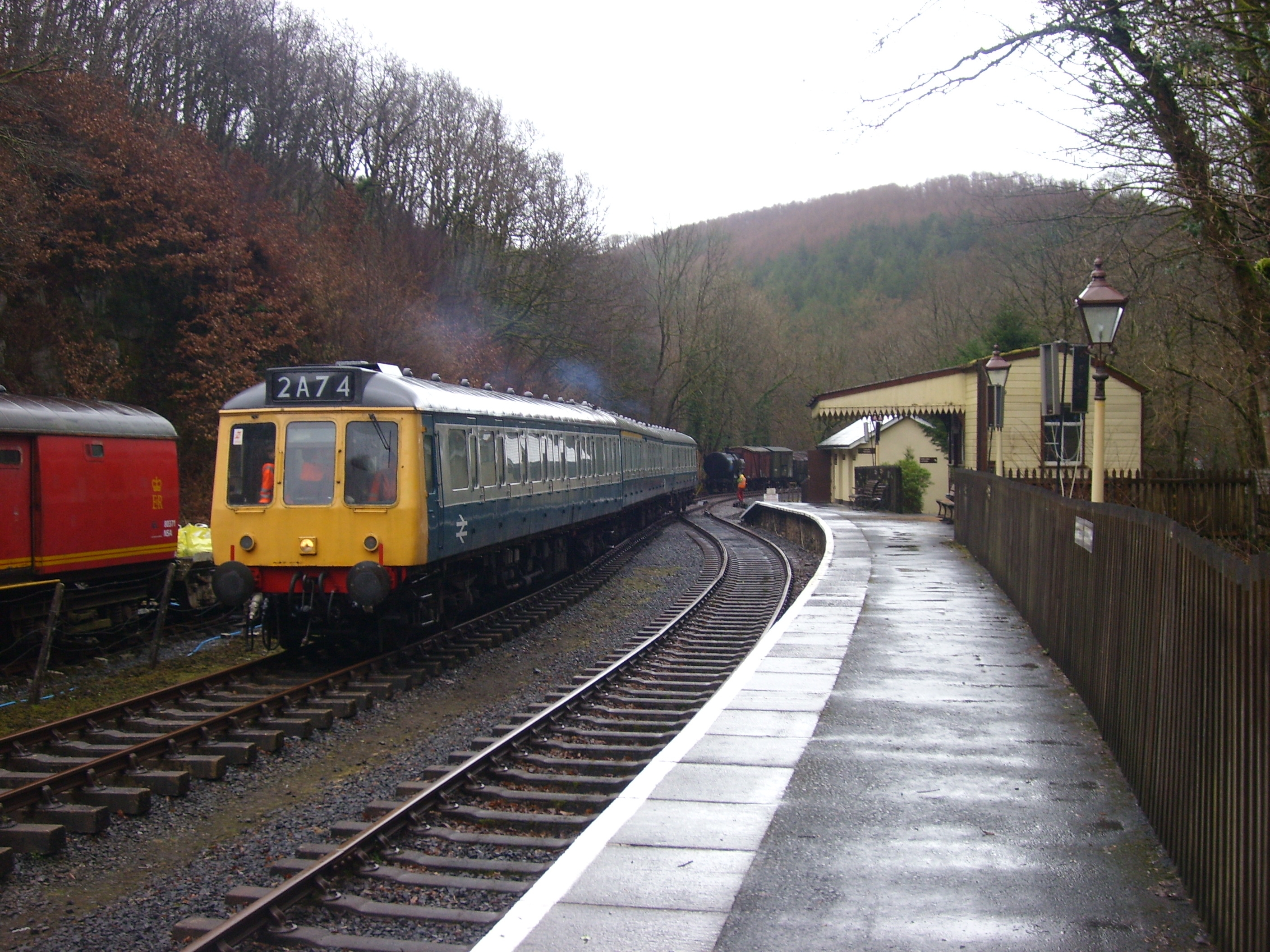
Felin Fach railway station

Felin Fach or Ystrad was a small railway station in the rural location between Ystrad Aeron and Felinfach, the intermediate station on the Aberayron branch...

Ystrad Aeron

Ystrad Aeron is a small village west of Felinfach on the A482 between Lampeter and Aberaeron, Ceredigion, Wales. It is part of the constituent community...
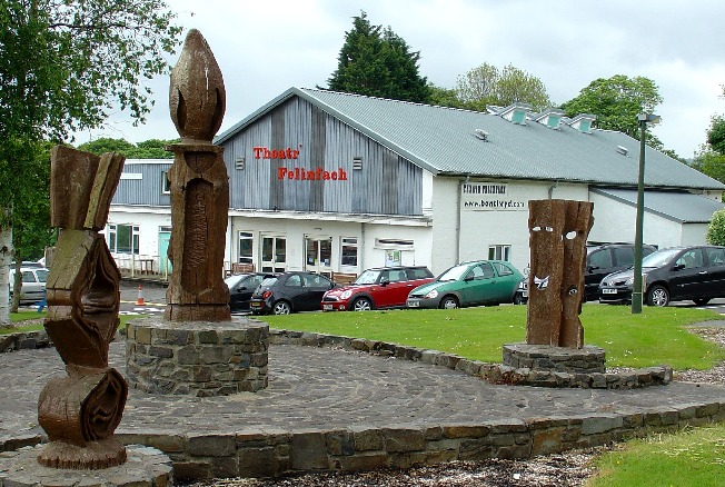
Theatr Felinfach

Theatr Felinfach is a small regional theatre located outside the village of Ystrad Aeron in Dyffryn Aeron, about 7 miles from the university town of Lampeter...

Trychrug

for the hill in Carmarthenshire with a similar name see TrichrugTrychrug is a mountain in Ceredigion, Wales, which rises to 343 metres (1,125 ft) high...

Llanfihangel Ystrad

Llanfihangel Ystrad (English "Vale of St Michael") is a constituent community in Ceredigion, Wales. It is named after the principal place of worship, St...

Nearby Amenities

Located within 500m of 52.193381,-4.123871
Trefilan
Place: hamlet
Wikidata: Q15963888
Lat/Long: 52.1941781/-4.1226423
Ford: yes
Lat/Long: 52.1936465/-4.121776
Place: farm
Lat/Long: 52.1951161/-4.117764
Place: farm
Lat/Long: 52.1923111/-4.1243729
Gelly
Place: locality
Lat/Long: 52.194975/-4.1285098
The data included in this document is from www.openstreetmap.org. The data is made available under ODbL.

Have you been to Trefilan?

Leave your review of Trefilan below (or comments, questions and feedback).