Townhead

Settlement in Derbyshire

England

Townhead

Old milestones & boundary stones On the upstream parapet of the bridge over Oldhay Brook on the A621 Abbeydale Road/Baslow Road, four of the stones are inscibed.   In this photograph the lettering is on the second, third, fourth and sixth stones shown.
Old milestones & boundary stones Credit: Chris Minto

The requested URL returned error: 429 Too Many Requests

If you have any feedback on the listing, please let us know in the comments section below.
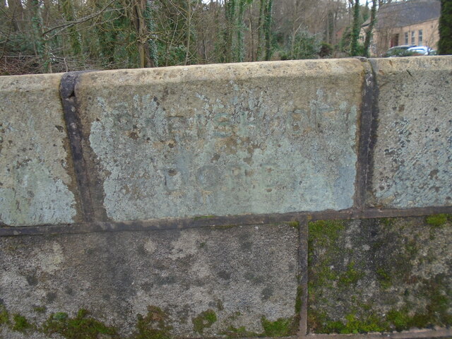
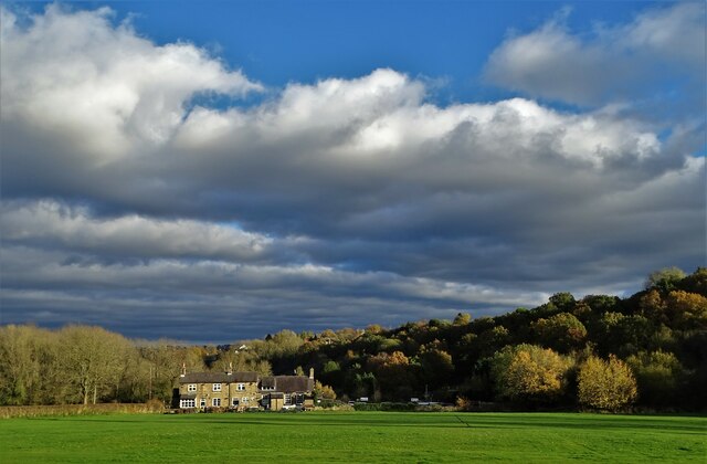
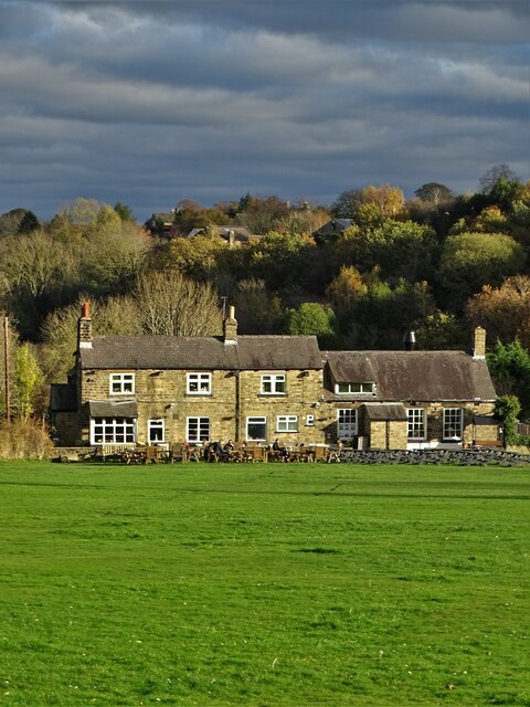
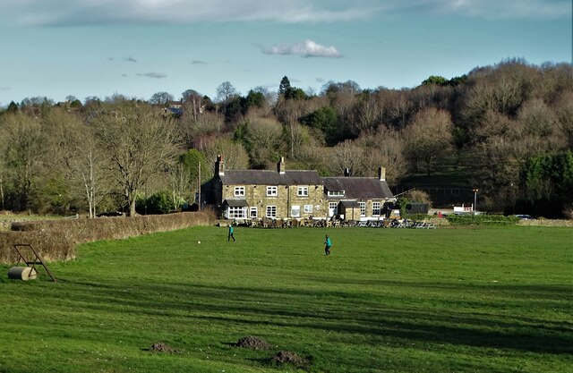
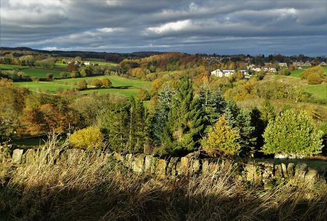
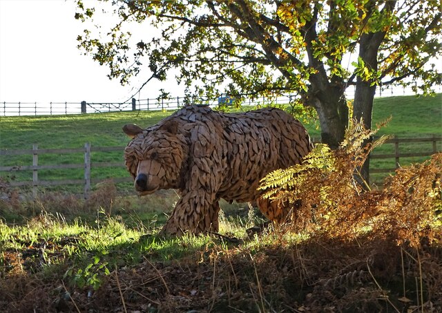
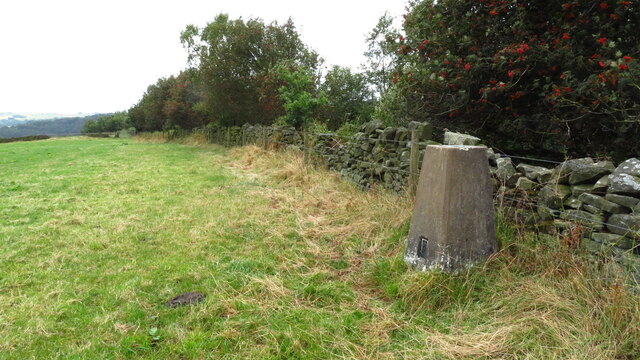
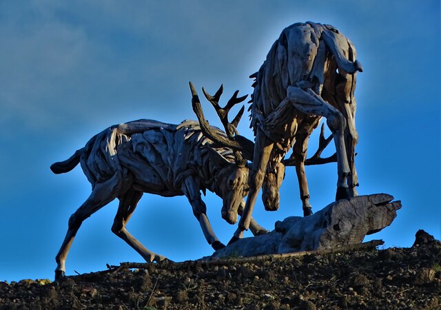
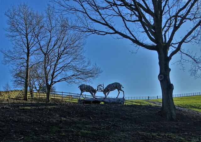
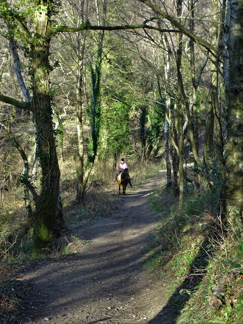
Townhead Images

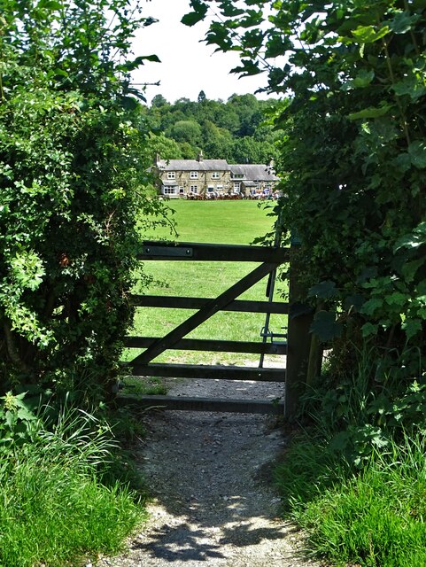
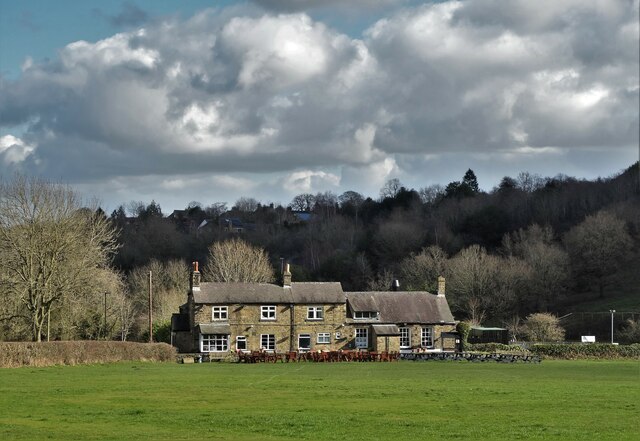
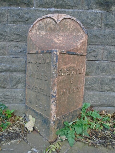
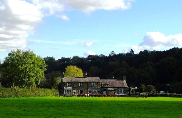
Images are sourced within 2km of 53.326473/-1.543534 or Grid Reference SK3081. Thanks to Geograph Open Source API. All images are credited.

Old milestones & boundary stones On the upstream parapet of the bridge over Oldhay Brook on the A621 Abbeydale Road/Baslow Road, four of the stones are inscibed.   In this photograph the lettering is on the second, third, fourth and sixth stones shown.
Old milestones & boundary stones
On the upstream parapet of the bridge over Oldhay Brook on the A621 Abbeydale Road/Baslow Road, four of the stones are inscibed. In this photograph the lettering is on the second, third, fourth and sixth stones shown.
Old milestone On the bridge over Oldhay Brook, the parapet stone nearest Sheffield is inscribed SHEFFIELD/5 MILES.
Old milestone
On the bridge over Oldhay Brook, the parapet stone nearest Sheffield is inscribed SHEFFIELD/5 MILES.
Old boundary stone Travelling away from Sheffield the stone next to one with the Sheffield mileage is inscribed PARISH OF/DORE.
Old boundary stone
Travelling away from Sheffield the stone next to one with the Sheffield mileage is inscribed PARISH OF/DORE.
Old boundary stone To the left of the Dore Parish stone is the one for the Parish of Totley.   It is inscribed PARISH OF/TOTLEY.   Some of the lettering can be made out.
Old boundary stone
To the left of the Dore Parish stone is the one for the Parish of Totley. It is inscribed PARISH OF/TOTLEY. Some of the lettering can be made out.
Old milestone The most southerly of the inscribed parapet stones on Oldhay Brook bridge is inscribed BAKEWELL/11 MILES.  There is a plain stone between this one and the Parish of Totley stone.   It seems as if the Bakewell stone was broken at one time and a new piece inserted.   BAKEWELL has only one L and the inscription is not set central on the stone.
Old milestone
The most southerly of the inscribed parapet stones on Oldhay Brook bridge is inscribed BAKEWELL/11 MILES. There is a plain stone between this one and the Parish of Totley stone. It seems as if the Bakewell stone was broken at one time and a new piece inserted. BAKEWELL has only one L and the inscription is not set central on the stone.
Beneath November clouds at Totley Bents Another view of "The Cricket Inn".
Beneath November clouds at Totley Bents
Another view of "The Cricket Inn".
"The Cricket Inn"  in  Totley Bents On the edge of the city of Sheffield.
"The Cricket Inn" in Totley Bents
On the edge of the city of Sheffield.
"The Cricket Inn", Totley Bents in early springtime Two brothers, still in school uniform, are playing football on the playing-field.
"The Cricket Inn", Totley Bents in early springtime
Two brothers, still in school uniform, are playing football on the playing-field.
Gate to Totley Bents Recreation Ground With "The Cricket Inn" at the other side of the field.
Gate to Totley Bents Recreation Ground
With "The Cricket Inn" at the other side of the field.
"The Cricket Inn" at Totley Bents
Old milepost On the A621, Baslow Road, Totley this milepost becomes more and more neglected.   It is in a very vulnerable position opposite houses that often have parked cars making the road narrower.   The foundry name is down the front spine DARWIN & CO SHEFFIELD.   Their name is also seen on gully grates and doubtless they cast other products.   There was a Sheffield, Baslow, Owler Bar turnpike that lasted from 1803 to 1880 so this post may date from the middle to late 19C.
Old milepost
On the A621, Baslow Road, Totley this milepost becomes more and more neglected. It is in a very vulnerable position opposite houses that often have parked cars making the road narrower. The foundry name is down the front spine DARWIN & CO SHEFFIELD. Their name is also seen on gully grates and doubtless they cast other products. There was a Sheffield, Baslow, Owler Bar turnpike that lasted from 1803 to 1880 so this post may date from the middle to late 19C.
Yet another image of "The Cricket Inn" Viewed across the recreation ground at Totley Bents
Yet another image of "The Cricket Inn"
Viewed across the recreation ground at Totley Bents
Edge of the city An autumn view towards Dore in Sheffield's southern suburbs from Strawberry Lee Lane
Edge of the city
An autumn view towards Dore in Sheffield's southern suburbs from Strawberry Lee Lane
Bear at the bottom of Taylor's Hill I suspect that the rustic model of a bear has been placed here for decorative purposes by the owners of nearby Hallfield Farm.
Bear at the bottom of Taylor's Hill
I suspect that the rustic model of a bear has been placed here for decorative purposes by the owners of nearby Hallfield Farm.
Trig Point at northern edge of Blacka Plantation near Dore
Driftwood stags rutting below Taylor's Hill These impressive driftwood statues have been sited near the end of Strawberry Lee Lane by a local landowner.
Driftwood stags rutting below Taylor's Hill
These impressive driftwood statues have been sited near the end of Strawberry Lee Lane by a local landowner.
Rutting stags art installation below Taylor's Hill These driftwood statues of stags in combat has been erected by a wealthy local landowner who lives nearby.
Rutting stags art installation below Taylor's Hill
These driftwood statues of stags in combat has been erected by a wealthy local landowner who lives nearby.
Horse rider on the steep bridleway up to Lenny Hill
Show me another place!

Townhead is located at Grid Ref: SK3081 (Lat: 53.326473, Lng: -1.543534)

Unitary Authority: Sheffield

Police Authority: South Yorkshire

What 3 Words

///lists.proof.kinds. Near Dronfield, Derbyshire

Related Wikis

Dore, South Yorkshire

Dore is a large village in the Sheffield district, in the county of South Yorkshire, England. The village lies on a hill above the River Sheaf which gave...

Totley Brook

The Totley Brook is a stream in Sheffield, South Yorkshire, England. It rises on a millstone grit ridge some 7 miles (11 km) to the south-west of the centre...

King Ecgbert School

King Ecgbert School is a co-educational secondary school with academy status (age range 11–18) in the village of Dore in the south-west of Sheffield, South...

Old Hay Brook

The Old Hay Brook is a small river in Sheffield, South Yorkshire, England. It is formed from the Redcar Brook, Blacka Dike and another stream, which rise...

Nearby Amenities

Located within 500m of 53.326473,-1.543534
Turning Circle
Lat/Long: 53.3275859/-1.536503
Dore
Is In: South Yorkshire, England, UK
Place: suburb
Source: npe
Wikidata: Q3036994
Wikipedia: en:Dore
Lat/Long: 53.3262748/-1.540347
Causeway Head Road/Causeway Gardens
Bus: yes
Public Transport: stop_position
Lat/Long: 53.3304975/-1.5428412
Crossing
Lat/Long: 53.3252508/-1.5401649
Barrier: bollard
Lat/Long: 53.3252003/-1.539815
Turning Circle
Lat/Long: 53.322432/-1.5458943
Turning Circle
Lat/Long: 53.3281683/-1.5482672
Turning Circle
Lat/Long: 53.3301944/-1.5475966
Turning Circle
Lat/Long: 53.3286437/-1.5425834
Turning Circle
Lat/Long: 53.3287779/-1.5439959
Turning Circle
Lat/Long: 53.3280045/-1.5434766
Turning Circle
Lat/Long: 53.3250791/-1.54428
Turning Circle
Lat/Long: 53.3245928/-1.5442794
Turning Circle
Lat/Long: 53.3261251/-1.5485585
Turning Circle
Lat/Long: 53.3254917/-1.5494895
Turning Circle
Lat/Long: 53.3304145/-1.5446444
Turning Circle
Lat/Long: 53.3305162/-1.5437502
Post Box
Collection Times: Mo-Fr 09:00; Sa 07:00
Post Box Type: pillar
Postal Code: S17
Ref: S17 791D
Royal Cypher: EIIR
Royal Cypher Wikidata: Q33102113
Lat/Long: 53.3293552/-1.5457932
Post Box
Collection Times: Mo-Fr 09:00; Sa 07:00
Post Box Type: pillar
Postal Code: S17
Ref: S17 830
Royal Cypher: GR
Royal Cypher Wikidata: Q33102273
Lat/Long: 53.3234284/-1.5425627
Power: substation
Lat/Long: 53.3275731/-1.5378015
Power: substation
Lat/Long: 53.328199/-1.5397212
Dore War Memorial
Historic: memorial
Lat/Long: 53.3260829/-1.5381081
Atm
Fee: no
Operator: Cooperative Bank
Lat/Long: 53.3273077/-1.5401538
Barrier: bollard
Lat/Long: 53.3293739/-1.5408309
Bus Stop
Devonshire Terrace Road/Leyfield Road
Alt Name: Devonshire Terrace Road/Leyfield Road
Bus: yes
Departures Board: timetable
Naptan AltCommonName: Devonshire Terrace Road/Leyfield Road
Naptan AtcoCode: 370021793
Naptan Bearing: NW
Naptan CommonName: Devonshire Terrace Road/Leyfield Road
Naptan Indicator: 21793
Naptan Landmark: Opposite Car Park
Naptan PlusbusZoneRef: ROTHCEN
Naptan Street: Devonshire Terrace Road
Naptan Verified: no
Public Transport: platform
Shelter: yes
Source: naptan_import
Lat/Long: 53.326974/-1.5403766
Bus Stop
Causeway Head Road/Heather Lea Avenue
Bus: yes
Naptan AtcoCode: 370021794
Naptan Bearing: SE
Naptan CommonName: Causeway Head Road/Heather Lea Avenue
Naptan Indicator: 21794
Naptan Landmark: OPPOSITE NO. 65
Naptan PlusbusZoneRef: ROTHCEN
Naptan Street: Causeway Head Road
Naptan Verified: no
Public Transport: platform
Source: naptan_import
Lat/Long: 53.3294526/-1.5419252
Bus Stop
Causeway Head Road/Causeway Gardens
Alt Name: Causeway Head Road/Causeway Gardens
Bus: yes
Naptan AltCommonName: Causeway Head Road/Causeway Gardens
Naptan AtcoCode: 370021795
Naptan Bearing: NW
Naptan CommonName: Causeway Head Road/Causeway Gardens
Naptan Indicator: 21795
Naptan Landmark: 98/100
Naptan PlusbusZoneRef: ROTHCEN
Naptan Street: Causeway Head Road
Naptan Verified: no
Public Transport: platform
Source: naptan_import
Lat/Long: 53.3304864/-1.542918
Bus Stop
Causeway Head Road/The Causeway
Bus: yes
Naptan AtcoCode: 370023527
Naptan Bearing: SE
Naptan CommonName: Causeway Head Road/The Causeway
Naptan Indicator: 23527
Naptan Landmark: 23527
Naptan PlusbusZoneRef: ROTHCEN
Naptan Street: Causeway Head Road
Naptan Verified: no
Public Transport: platform
Source: naptan_import
Lat/Long: 53.3285796/-1.5413347
Bus Stop
Causeway Head Road/Heather Lea Avenue
Alt Name: Causeway Head Road/Heather Lea Avenue
Bus: yes
Naptan AltCommonName: Causeway Head Road/Heather Lea Avenue
Naptan AtcoCode: 370027335
Naptan Bearing: N
Naptan CommonName: Causeway Head Road/Heather Lea Avenue
Naptan Indicator: 27335
Naptan Landmark: 27335
Naptan Street: Causeway Head Road
Naptan Verified: no
Public Transport: platform
Source: naptan_import
Lat/Long: 53.32857/-1.5414692
Turning Circle
Lat/Long: 53.325419/-1.5417707
Defibrillator
Access: yes
Check Date: 2023-03-09
Defibrillator Location: On fence at side of path. Available 24/7.
Emergency: defibrillator
Indoor: no
Opening Hours: 24/7
Lat/Long: 53.3264887/-1.5423679
Telephone
Booth: KXPlus
Covered: booth
Lat/Long: 53.3276232/-1.539704
Dore Well
Historic: yes
Man Made: water_well
Lat/Long: 53.3261643/-1.5369434
Dore Commemorative Plaque
Description: Plaque commemorating the battle of Dore and victory of King Ecgbert against Eanred of Northumbria
Historic: monument
Lat/Long: 53.3261803/-1.5379142
Turning Circle
Lat/Long: 53.3249868/-1.536427
Drinking Water
Lat/Long: 53.3265285/-1.5395101
Barrier: sally_port
Lat/Long: 53.3269696/-1.5398965
Townhead
Place: neighbourhood
Lat/Long: 53.3249068/-1.5462763
Causeway Head
Place: neighbourhood
Lat/Long: 53.3303405/-1.5463299
Causeway Head Road/Heather Lea Avenue
Bus: yes
Public Transport: stop_position
Lat/Long: 53.3285924/-1.5414113
Turning Circle
Lat/Long: 53.3271347/-1.5418405
Turning Circle
Lat/Long: 53.3292299/-1.5410961
Post Box
Collection Times: Mo-Fr 17:00; Sa 10:30
Post Box Type: pillar
Ref: S17 463
Royal Cypher: EIIR
Royal Cypher Wikidata: Q33102113
Lat/Long: 53.3264634/-1.5405663
Defibrillator
Access: yes
Check Date: 2023-03-09
Defibrillator Location: On outside wall. Available 24/7.
Emergency: defibrillator
Indoor: no
Opening Hours: 24/7
Lat/Long: 53.3281527/-1.540032
Devonshire Terrace Road/Leyfield Road
Bus: yes
Public Transport: stop_position
Lat/Long: 53.3269987/-1.5403187
Causeway Head Road/Heather Lea Avenue
Bus: yes
Public Transport: stop_position
Lat/Long: 53.3294204/-1.5420966
Causeway Head Road/The Causeway
Bus: yes
Public Transport: stop_position
Lat/Long: 53.3285666/-1.5413908
Newfield Lane
Power: substation
Ref: 1157
Lat/Long: 53.3254666/-1.5502724
Bench
Lat/Long: 53.3275756/-1.5455074
Bench
Lat/Long: 53.3273138/-1.5455206
Grit Bin
Operator: Sheffield City Council
Operator Type: government
Operator Wikidata: Q7492609
Seasonal: no
Lat/Long: 53.3264476/-1.5502177
Grit Bin
Operator: Sheffield City Council
Operator Type: government
Operator Wikidata: Q7492609
Seasonal: no
Lat/Long: 53.3276692/-1.5428778
Grit Bin
Operator: Sheffield City Council
Operator Type: government
Operator Wikidata: Q7492609
Seasonal: no
Lat/Long: 53.3260619/-1.5433154
Grit Bin
Operator: Sheffield City Council
Operator Type: government
Operator Wikidata: Q7492609
Seasonal: no
Lat/Long: 53.3253909/-1.5417912
Grit Bin
Operator: Sheffield City Council
Operator Type: government
Operator Wikidata: Q7492609
Seasonal: no
Lat/Long: 53.3280493/-1.5435494
Grit Bin
Operator: Sheffield City Council
Operator Type: government
Operator Wikidata: Q7492609
Seasonal: no
Lat/Long: 53.3265/-1.5403379
Grit Bin
Operator: Sheffield City Council
Operator Type: government
Operator Wikidata: Q7492609
Seasonal: no
Lat/Long: 53.3250723/-1.5454579
Grit Bin
Operator: Sheffield City Council
Operator Type: government
Operator Wikidata: Q7492609
Seasonal: no
Lat/Long: 53.3263605/-1.5414655
Grit Bin
Operator: Sheffield City Council
Operator Type: government
Operator Wikidata: Q7492609
Seasonal: no
Lat/Long: 53.3250846/-1.5487007
Grit Bin
Operator: Sheffield City Council
Operator Type: government
Operator Wikidata: Q7492609
Seasonal: no
Lat/Long: 53.3227709/-1.5406632
Grit Bin
Operator: Sheffield City Council
Operator Type: government
Operator Wikidata: Q7492609
Seasonal: no
Lat/Long: 53.3264864/-1.539152
The data included in this document is from www.openstreetmap.org. The data is made available under ODbL.

Have you been to Townhead?

Leave your review of Townhead below (or comments, questions and feedback).