Town End

Settlement in Cambridgeshire Fenland

England

Town End

Entrance of The Auction Field Off Knights End Road
Entrance of The Auction Field Credit: Geographer

Town End is a small village located in the county of Cambridgeshire, England. Situated approximately 8 miles south of the city of Cambridge, it falls within the district of South Cambridgeshire. The village is nestled in a picturesque countryside setting, surrounded by rolling hills and fields, offering residents and visitors alike a tranquil and idyllic atmosphere.

With a population of around 300 people, Town End is a close-knit community where neighbors often know each other by name. The village primarily consists of charming cottages and traditional houses, adding to its quintessential English village appeal. The architecture reflects the area's rich history, with some buildings dating back several centuries.

Despite its small size, Town End boasts a strong sense of community spirit. The villagers often organize various events and activities throughout the year, such as summer fairs, village fetes, and charity fundraisers. These events provide opportunities for residents to come together and strengthen their bonds.

Town End benefits from its proximity to the vibrant city of Cambridge, which offers a wide range of amenities and attractions. Residents can easily access excellent schools, healthcare facilities, shopping centers, and leisure activities.

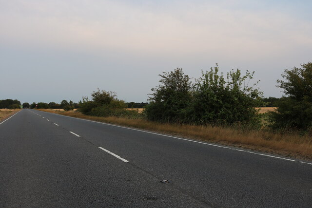
The village is well-connected to the surrounding areas via a reliable road network. Public transportation services, including buses and trains, offer convenient links to neighboring towns and cities.

In summary, Town End is a charming and peaceful village in Cambridgeshire, offering a close-knit community, beautiful countryside surroundings, and easy access to nearby amenities.

If you have any feedback on the listing, please let us know in the comments section below.
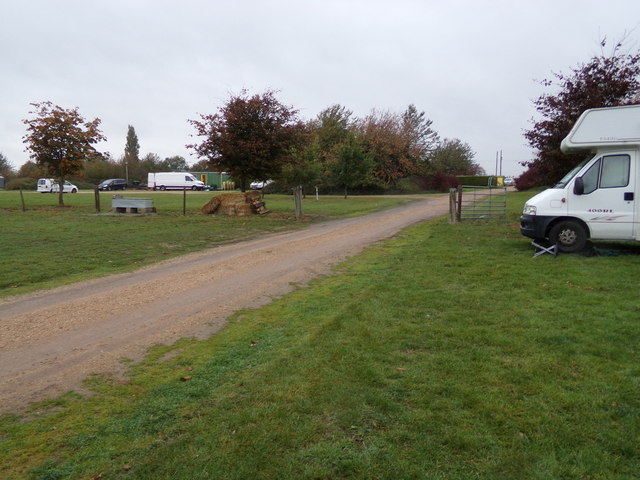
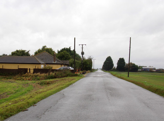
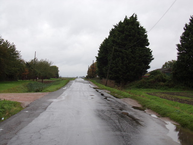
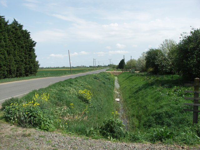
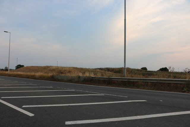
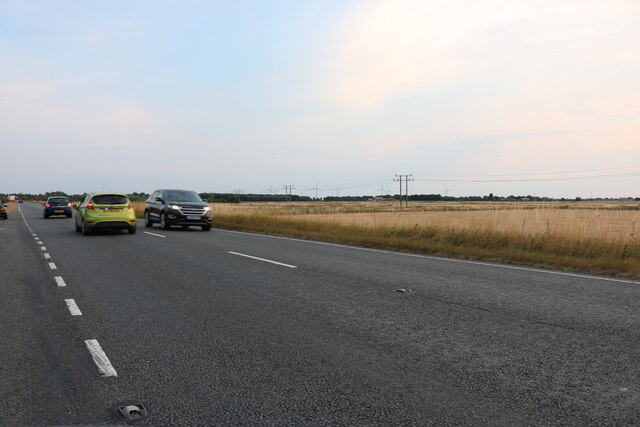
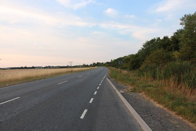
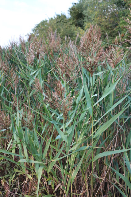
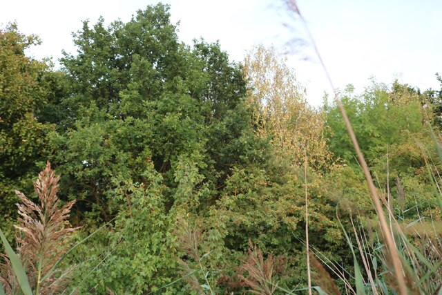
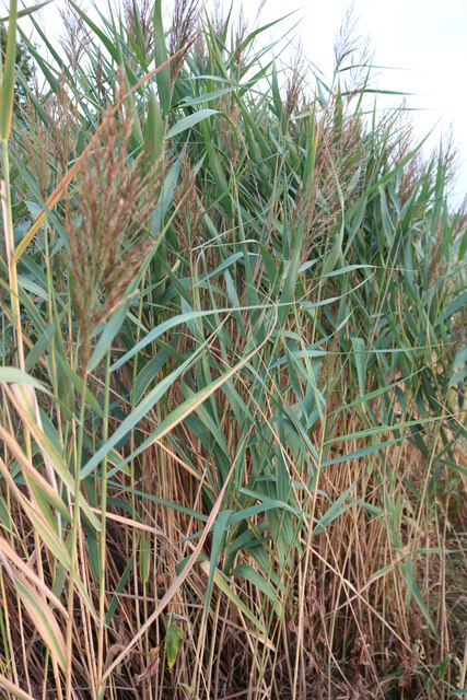
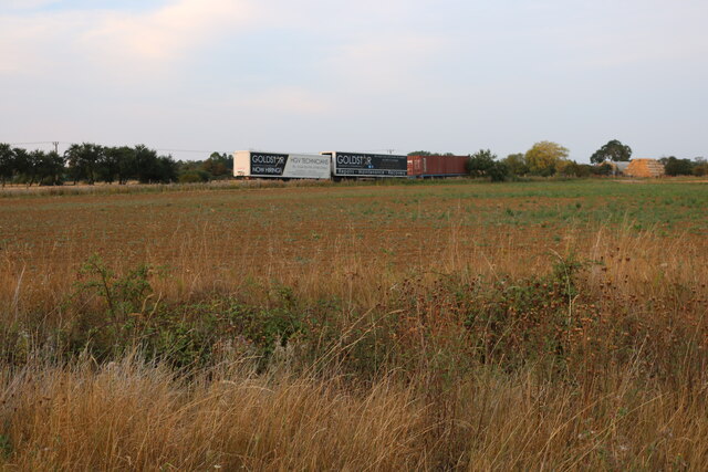
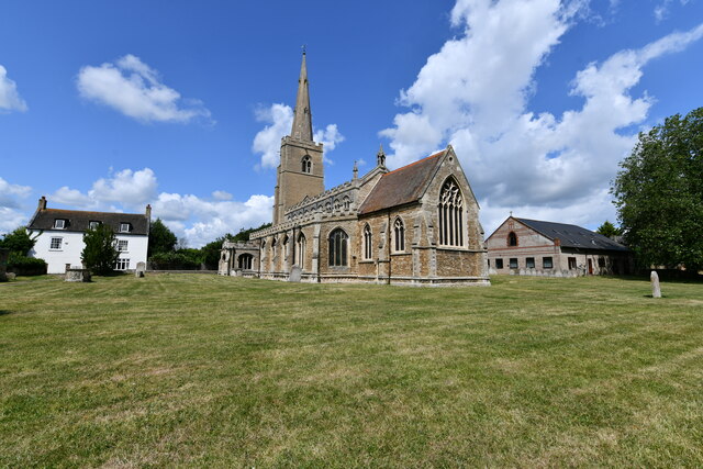
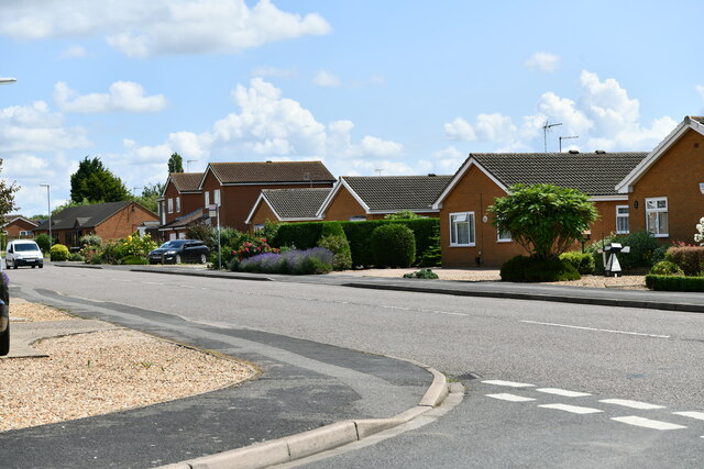
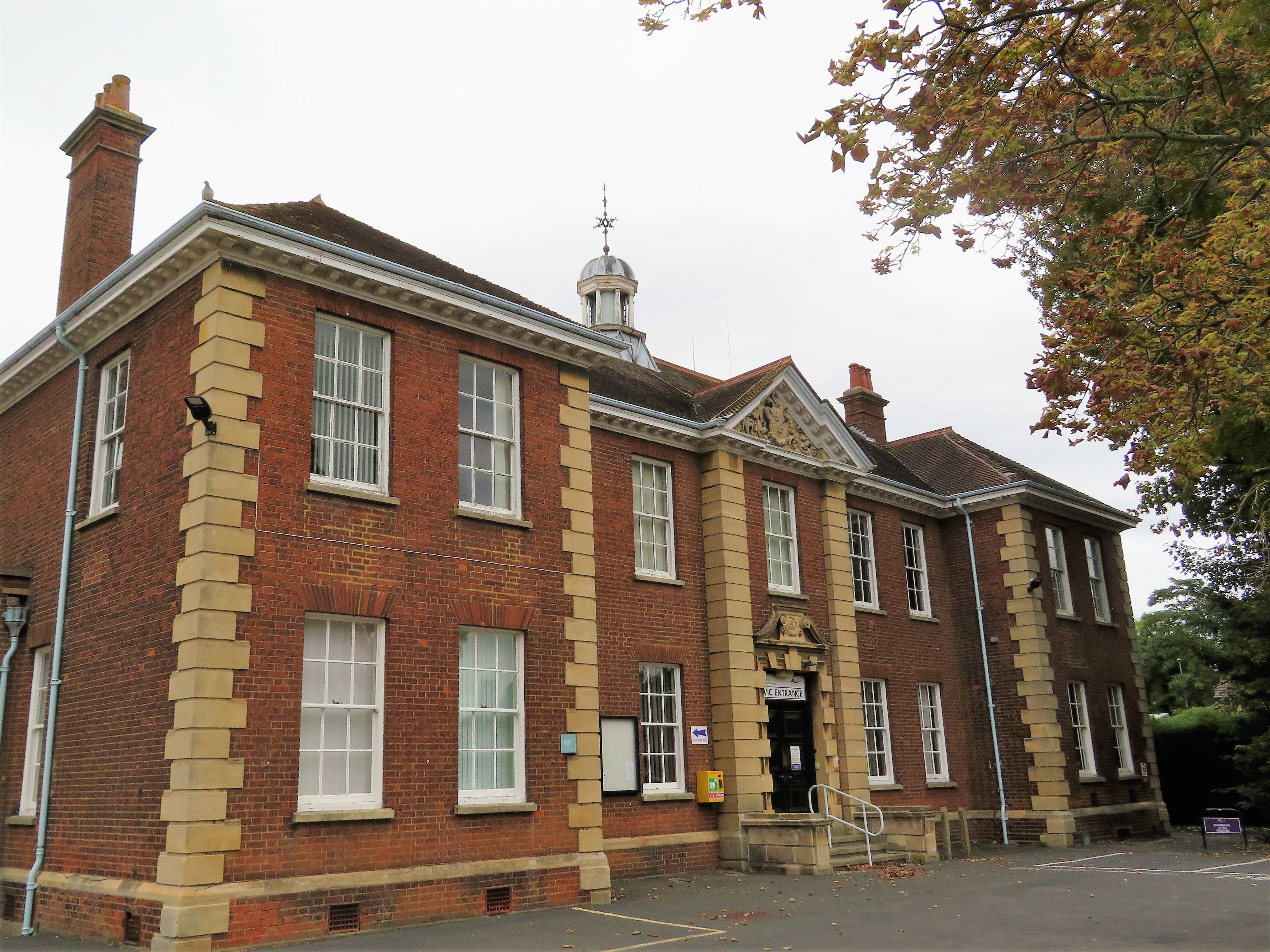
Town End Images

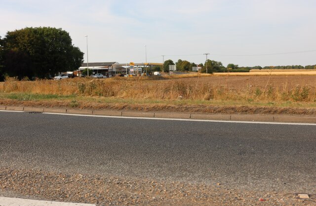
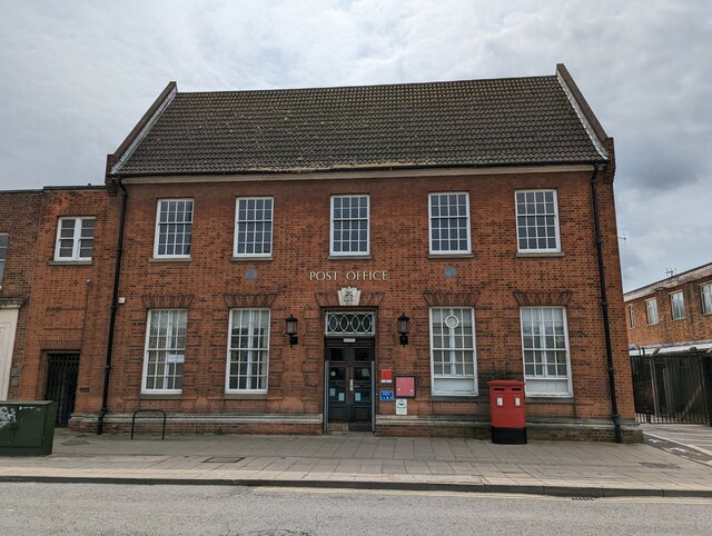
Images are sourced within 2km of 52.53624/0.085579 or Grid Reference TL4195. Thanks to Geograph Open Source API. All images are credited.

Entrance of The Auction Field Off Knights End Road
Entrance of The Auction Field
Off Knights End Road
Knight's End Road, March Looking towards Knight's End Farm
Knight's End Road, March
Looking towards Knight's End Farm
Knight's End Road, March At the entrance to the Auction Grounds
Knight's End Road, March
At the entrance to the Auction Grounds
Road and Drain. A example of the uneven nature of fenland roads.
Road and Drain.
A example of the uneven nature of fenland roads.
Isle of Ely Way, March
Isle of Ely Way near March
Reeds by Isle of Ely Way near March
Woods by Isle of Ely Way near March
Reeds by Isle of Ely Way near March
Isle of Ely Way near March
Field by Isle of Ely Way near March
Isle of Ely Way, March Looking towards Wimblington Road
Isle of Ely Way, March
Looking towards Wimblington Road
Ermine moth caterpillar web in West End, March, Cambridgeshire
Post Office, Dartford Road, March - Built 1936 with a rare royal cipher over the door The rare royal cypher over the main door reads ER VIII 1936 - King Edward the Eighth who was never crowned king. 
See <a title="https://www.geograph.org.uk/photo/7497367" href="https://www.geograph.org.uk/photo/7497367">Link</a> for a close up
Post Office, Dartford Road, March - Built 1936 with a rare royal cipher over the door
The rare royal cypher over the main door reads ER VIII 1936 - King Edward the Eighth who was never crowned king. See Link for a close up
Rare royal cypher, ER VIII, on the Post Office in March, Cambridgeshire Built in 1936 during the short reign of King Edward the Eighth who was never crowned king.
See <a title="https://www.geograph.org.uk/photo/7497357" href="https://www.geograph.org.uk/photo/7497357">Link</a> for a complete view of the post office
Rare royal cypher, ER VIII, on the Post Office in March, Cambridgeshire
Built in 1936 during the short reign of King Edward the Eighth who was never crowned king. See Link for a complete view of the post office
March, St. Wendreda's Church: South eastern aspect
March: Cavalry Drive from Hunters Chase
Show me another place!

Town End is located at Grid Ref: TL4195 (Lat: 52.53624, Lng: 0.085579)

Division: Isle of Ely

Administrative County: Cambridgeshire

District: Fenland

Police Authority: Cambridgeshire

What 3 Words

///regularly.asleep.stun. Near March, Cambridgeshire

Nearby Locations

Town End

Related Wikis

Neale-Wade Academy

Neale-Wade Academy (formerly Neale-Wade Community College) is a secondary school and sixth form with academy status in the market town of March, Cambridgeshire...

The Avenue Sports Club Ground

The Avenue Sports Club Ground is a cricket ground in March, Cambridgeshire. The ground was established in 1939, when Cambridgeshire played Suffolk in...

March Town Hall

March Town Hall is a municipal building in the Market Square in March, Cambridgeshire, England. The building, which was the headquarters of March Urban...

March, Cambridgeshire

March is a Fenland market town and civil parish in the Isle of Ely area of Cambridgeshire, England. It was the county town of the Isle of Ely which was...

Gault Wood

Gault Wood is a woodland in Cambridgeshire, England, near the town of March. It covers a total area of 6.51 hectares (16.09 acres). It is owned and managed...

March Town United F.C.

March Town United Football Club is a football club based in March, Cambridgeshire, England. They are currently members of the United Counties League Premier...

Fenland Hall, March

Fenland Hall is a municipal building on County Road, March, Cambridgeshire, England, which serves as the headquarters of Fenland District Council. The...

March railway station

March railway station is on the Ely–Peterborough line in the east of England and serves the market town of March, Cambridgeshire. It is 85 miles 76 chains...

Nearby Amenities

Located within 500m of 52.53624,0.085579
Ele: -8.766
Lat/Long: 52.5354221/0.0857365
Bus Stop
Bus: yes
Public Transport: platform
Source: survey
Lat/Long: 52.5368677/0.08635
Turning Circle
Lat/Long: 52.5387003/0.0871971
Turning Circle
Lat/Long: 52.5387419/0.0893001
Ele: 3.010
Lat/Long: 52.5397983/0.0874753
Turning Circle
Lat/Long: 52.5398554/0.0820952
Turning Circle
Lat/Long: 52.5398755/0.0837137
Bus Stop
Wimblington Road
Bus: yes
Naptan AtcoCode: 0500FMARC020
Naptan Bearing: S
Naptan CommonName: Wimblington Road
Naptan Indicator: o/s No 32
Naptan Landmark: Wimblington Road
Naptan NaptanCode: cmbdjwma
Naptan ShortCommonName: Wimblington Road
Naptan Street: Wimblington Road
Naptan Verified: no
Public Transport: platform
Source: naptan_import
Lat/Long: 52.5337158/0.0877132
Bus Stop
Wimblington Road
Bus: yes
Naptan AtcoCode: 0500FMARC021
Naptan Bearing: N
Naptan CommonName: Wimblington Road
Naptan Indicator: opp No 8
Naptan Landmark: Town End Pits Lane
Naptan NaptanCode: cmbdjwmd
Naptan ShortCommonName: Wimblington Road
Naptan Street: Wimblington Road
Naptan Verified: no
Public Transport: platform
Source: naptan_import
Lat/Long: 52.5347411/0.0871868
Bus Stop
Neale Wade College
Bus: yes
Naptan AtcoCode: 0500FMARC038
Naptan Bearing: S
Naptan CommonName: Neale Wade College
Naptan Indicator: near
Naptan Landmark: Barker's Lane
Naptan NaptanCode: cmbdjwtm
Naptan ShortCommonName: Neale Wade Col
Naptan Street: Wimblington Road
Naptan Verified: no
Public Transport: platform
Source: naptan_import
Lat/Long: 52.5366133/0.0865678
Bus Stop
Neale Wade College
Bus: yes
Naptan AtcoCode: 0500FMARC040
Naptan Bearing: N
Naptan CommonName: Neale Wade College
Naptan Indicator: opp
Naptan Landmark: Church Street
Naptan NaptanCode: cmbdjwtw
Naptan ShortCommonName: Neale Wade Col
Naptan Street: The Avenue
Naptan Verified: no
Public Transport: platform
Source: naptan_import
Lat/Long: 52.5378767/0.0858019
Bus Stop
Monument View
Bus: yes
Naptan AtcoCode: 0500FMARC094
Naptan Bearing: S
Naptan CommonName: Monument View
Naptan Indicator: near
Naptan Landmark: Monument View
Naptan NaptanCode: cmbgdwta
Naptan ShortCommonName: Monument View
Naptan Street: The Avenue
Naptan Verified: no
Public Transport: platform
Source: naptan_import
Lat/Long: 52.5382453/0.0858046
Bus Stop
Monument View
Bus: yes
Naptan AtcoCode: 0500FMARC095
Naptan Bearing: N
Naptan CommonName: Monument View
Naptan Indicator: opp
Naptan Landmark: Monument View
Naptan NaptanCode: cmbgjajm
Naptan ShortCommonName: Monument View
Naptan Street: The Avenue
Naptan Verified: no
Public Transport: platform
Source: naptan_import
Lat/Long: 52.5388183/0.0854337
Turning Circle
Lat/Long: 52.5396517/0.0886148
Generator Method: photovoltaic
Generator Output Electricity: yes
Generator Source: solar
Generator Type: solar_photovoltaic_panel
Location: roof
Power: generator
Lat/Long: 52.5402837/0.0888231
Generator Method: photovoltaic
Generator Output Electricity: yes
Generator Source: solar
Generator Type: solar_photovoltaic_panel
Location: roof
Power: generator
Lat/Long: 52.5382021/0.0891798
Generator Method: photovoltaic
Generator Output Electricity: yes
Generator Source: solar
Generator Type: solar_photovoltaic_panel
Location: roof
Power: generator
Lat/Long: 52.5382135/0.0893112
Generator Method: photovoltaic
Generator Output Electricity: yes
Generator Source: solar
Generator Type: solar_photovoltaic_panel
Location: roof
Power: generator
Lat/Long: 52.5388546/0.0870501
Bench
Lat/Long: 52.5400304/0.0851407
Waste Basket
Lat/Long: 52.5400777/0.0851367
Post Box
Brand: Post Office
Brand Wikidata: Q1783168
Operator: Post Office
Operator Wikidata: Q1783168
Lat/Long: 52.5400662/0.085083
The data included in this document is from www.openstreetmap.org. The data is made available under ODbL.

Have you been to Town End?

Leave your review of Town End below (or comments, questions and feedback).