Town Farm

Settlement in Yorkshire

England

Town Farm

Cavendish Road seen from Marton Way, Middlesbrough
Cavendish Road seen from Marton Way, Middlesbrough Credit: habiloid

Town Farm is a picturesque farming community located in the heart of Yorkshire, England. The farm covers over 200 acres of rolling hills and lush green pastures, making it an ideal location for livestock grazing and crop cultivation. The farm is surrounded by quaint villages and stunning countryside, providing a peaceful and tranquil setting for residents and visitors alike.

The main farmhouse at Town Farm dates back to the 18th century and has been lovingly restored to maintain its original charm and character. The farm is home to a variety of animals, including sheep, cows, and chickens, which are raised and cared for by the dedicated team of farmers and workers.

In addition to traditional farming practices, Town Farm also offers farm tours, educational programs, and workshops to educate the public about sustainable agriculture and the importance of supporting local farmers. The farm also hosts events such as farmers markets, food festivals, and community gatherings to promote a sense of community and connection among residents and visitors.

Overall, Town Farm is a thriving agricultural community that embodies the beauty and charm of rural Yorkshire. It is a must-visit destination for anyone looking to experience the authentic countryside lifestyle of England.

If you have any feedback on the listing, please let us know in the comments section below.
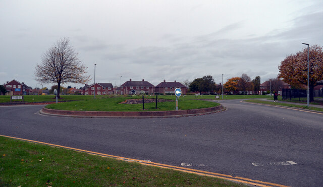
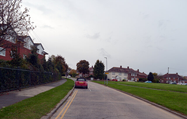
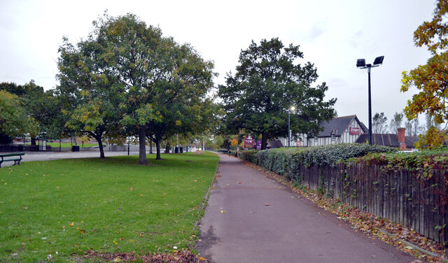
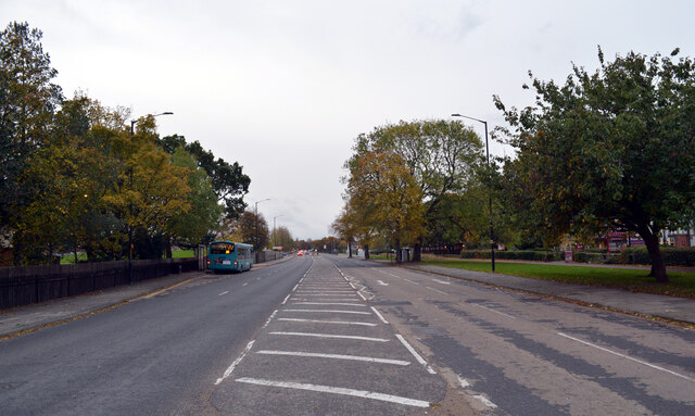
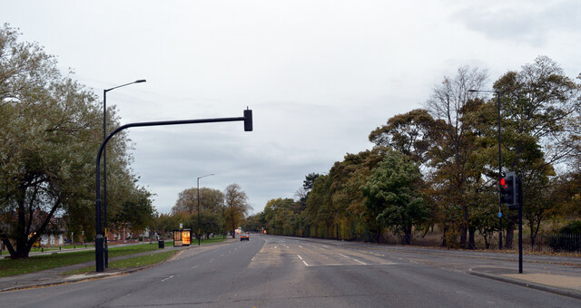
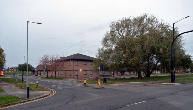
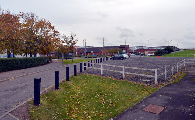
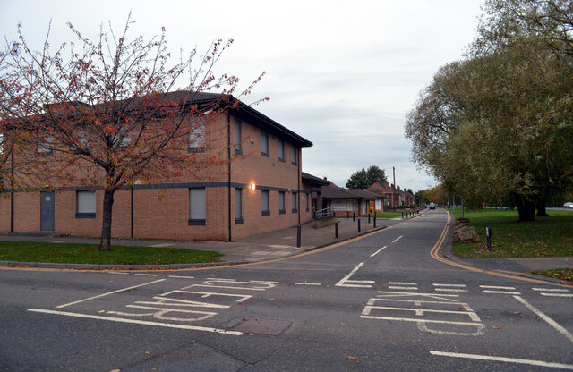
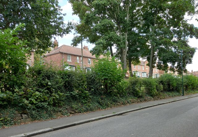
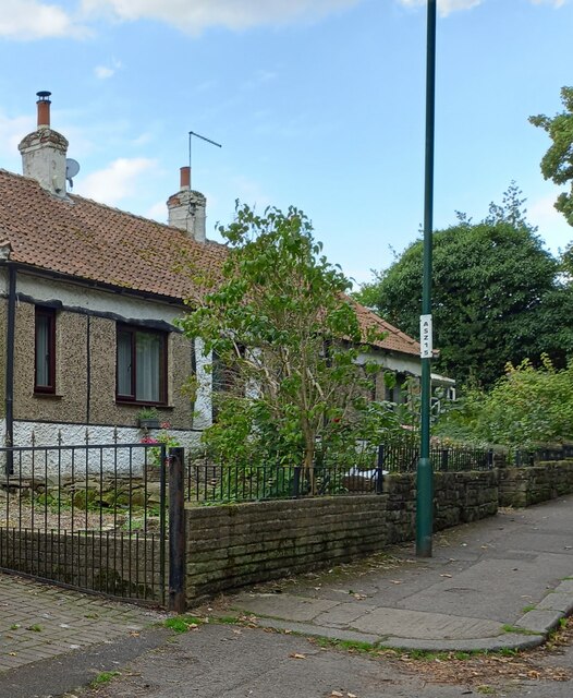
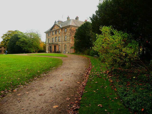
Town Farm Images

Images are sourced within 2km of 54.55458/-1.1975111 or Grid Reference NZ5218. Thanks to Geograph Open Source API. All images are credited.

Cavendish Road seen from Marton Way, Middlesbrough
Cavendish Road, Middlesbrough
Pavement, Marton Road (A172), Middlesbrough
Marton Road (A172), Middlesbrough
The junction of Marton Way and Marton Road (A172), Middlesbrough
Car park, The James Cook University Hospital, Middlesbrough
Martonside Way seen from Marton Way, Middlesbrough
Ginger Scooter Parking Location See <span class="nowrap"><a title="https://www.ginger.town/middlesbrough" rel="nofollow ugc noopener" href="https://www.ginger.town/middlesbrough">Link</a><img style="margin-left:2px;" alt="External link" title="External link - shift click to open in new window" src="https://s1.geograph.org.uk/img/external.png" width="10" height="10"/></span>
Ginger Scooter Parking Location
See LinkExternal link
Cargo Fleet Social Club Opposite the Roman Catholic Cemetery
Cargo Fleet Social Club
Opposite the Roman Catholic Cemetery
Ormesby, St Cuthbert's church The OS Flush Bracket 10295 is embedded into the east facing wall of the church.
Ormesby, St Cuthbert's church
The OS Flush Bracket 10295 is embedded into the east facing wall of the church.
Ormesby, St Cuthbert's church The OS Flush Bracket 10295 is embedded into the east facing wall of the church.
Ormesby, St Cuthbert's church
The OS Flush Bracket 10295 is embedded into the east facing wall of the church.
Ormesby, Church Lane, bridge The benchmark is cut into the parapet on the east side of the road over the centre of the stream.
Ormesby, Church Lane, bridge
The benchmark is cut into the parapet on the east side of the road over the centre of the stream.
Ormesby, Church Lane There is a benchmark cut into the parapet on the east side of the road over the centre of the stream.
Ormesby, Church Lane
There is a benchmark cut into the parapet on the east side of the road over the centre of the stream.
Ormesby, Church Lane The benchmark is cut into a 1st course stone on the bankside wall on the east side of the lane.
Ormesby, Church Lane
The benchmark is cut into a 1st course stone on the bankside wall on the east side of the lane.
Ormesby, Church Lane There is a benchmark cut into a 1st course stone on the bankside wall on the east side of the lane.
Ormesby, Church Lane
There is a benchmark cut into a 1st course stone on the bankside wall on the east side of the lane.
Ormesby, 38 Church Lane According to the OS benchmark database there is a benchmark cut into a gatepost at this property. The gatepost is likely to be attached to the extreme left of the house, rather than roadside at the end of the drive. Both gateposts at the end of the drive were clear of any marks. This is private property and no search was made within the grounds.
Ormesby, 38 Church Lane
According to the OS benchmark database there is a benchmark cut into a gatepost at this property. The gatepost is likely to be attached to the extreme left of the house, rather than roadside at the end of the drive. Both gateposts at the end of the drive were clear of any marks. This is private property and no search was made within the grounds.
The path from the entrance to Ormesby Hall
Show me another place!

Town Farm is located at Grid Ref: NZ5218 (Lat: 54.55458, Lng: -1.1975111)

Division: North Riding

Unitary Authority: Middlesbrough

Police Authority: Cleveland

What 3 Words

///impose.slam.offers. Near Nunthorpe, North Yorkshire

Nearby Locations

Town Farm

Related Wikis

Unity City Academy

Unity City Academy is a city academy in Middlesbrough, North Yorkshire, England, sponsored by the Academies Enterprise Trust. == History == Unity City...

Park End, Middlesbrough

Park End is an area in the borough of Middlesbrough, North Yorkshire, England. It is near Berwick Hills and Ormesby. It is in the TS3 postcode district...

James Cook railway station

James Cook (also known as James Cook University Hospital) is a railway station on the Esk Valley Line, which runs between Middlesbrough and Whitby via...

Berwick Hills

Berwick Hills is a suburb in the Borough of Middlesbrough in North Yorkshire, England with a population of 4,465. It is east of Middlesbrough centre. The...

Nearby Amenities

Located within 500m of 54.55458,-1.1975111
Crossing
Crossing: uncontrolled
Lat/Long: 54.5565981/-1.1988544
Crossing
Crossing: island
Lat/Long: 54.5530896/-1.1944755
Crossing
Crossing: island
Lat/Long: 54.5541366/-1.1963746
Post Box
Ref: TS3 283
Lat/Long: 54.550125/-1.1983191
Park End Community Centre
Building: public
Lat/Long: 54.5514625/-1.2003342
Sandringham House
Building: residential
Lat/Long: 54.5520972/-1.1994541
Library
Lat/Long: 54.5513847/-1.2000873
Bus: yes
Public Transport: stop_position
Lat/Long: 54.5586041/-1.2002066
Bus: yes
Public Transport: stop_position
Lat/Long: 54.557637/-1.1993585
Bus: yes
Public Transport: stop_position
Lat/Long: 54.5507642/-1.1994631
Bus: yes
Public Transport: stop_position
Lat/Long: 54.5522348/-1.2034401
Bus: yes
Public Transport: stop_position
Lat/Long: 54.5537468/-1.1957029
Crossing
Crossing: island
Lat/Long: 54.5535625/-1.195385
Bus Stop
Lat/Long: 54.5518804/-1.1925054
Bus: yes
Public Transport: stop_position
Lat/Long: 54.554933/-1.1974896
Bus: yes
Public Transport: stop_position
Lat/Long: 54.5529373/-1.1940957
Bus Stop
Naptan AtcoCode: 079073188B
Naptan NaptanCode: mbrdjda
Public Transport: platform
Tactile Paving: yes
Lat/Long: 54.5522726/-1.2034147
Bus Stop
Public Transport: platform
Shelter: yes
Lat/Long: 54.5530076/-1.1940296
Bus Stop
Naptan AtcoCode: 079073202B
Naptan NaptanCode: mbrdjtd
Public Transport: platform
Shelter: yes
Lat/Long: 54.5536601/-1.1958039
Bus Stop
Naptan AtcoCode: 079073203A
Naptan NaptanCode: mbrdjtg
Public Transport: platform
Shelter: yes
Lat/Long: 54.5549722/-1.1973837
Bus Stop
Public Transport: platform
Shelter: yes
Lat/Long: 54.5576662/-1.1992371
Bus Stop
Naptan AtcoCode: 079073204B
Naptan NaptanCode: mbrdjtp
Public Transport: platform
Shelter: yes
Lat/Long: 54.5585667/-1.2003127
Turning Circle
Lat/Long: 54.5578984/-1.2018204
Generator Method: photovoltaic
Generator Output Electricity: yes
Generator Source: solar
Generator Type: solar_photovoltaic_panel
Location: roof
Power: generator
Lat/Long: 54.5557995/-1.203464
Generator Method: photovoltaic
Generator Output Electricity: yes
Generator Source: solar
Generator Type: solar_photovoltaic_panel
Location: roof
Power: generator
Lat/Long: 54.5554961/-1.2036678
Generator Method: photovoltaic
Generator Output Electricity: yes
Generator Source: solar
Generator Type: solar_photovoltaic_panel
Location: roof
Power: generator
Lat/Long: 54.5551415/-1.2017018
Generator Method: photovoltaic
Generator Output Electricity: yes
Generator Source: solar
Generator Type: solar_photovoltaic_panel
Location: roof
Power: generator
Lat/Long: 54.5546515/-1.2015408
Generator Method: photovoltaic
Generator Output Electricity: yes
Generator Source: solar
Generator Type: solar_photovoltaic_panel
Location: roof
Power: generator
Lat/Long: 54.5536908/-1.202204
Generator Method: photovoltaic
Generator Output Electricity: yes
Generator Source: solar
Generator Type: solar_photovoltaic_panel
Location: roof
Power: generator
Lat/Long: 54.5530997/-1.1923428
Generator Method: photovoltaic
Generator Output Electricity: yes
Generator Source: solar
Generator Type: solar_photovoltaic_panel
Location: roof
Power: generator
Lat/Long: 54.553379/-1.1925266
Generator Method: photovoltaic
Generator Output Electricity: yes
Generator Source: solar
Generator Type: solar_photovoltaic_panel
Location: roof
Power: generator
Lat/Long: 54.5533424/-1.1924783
Post Office
Penrith Road Post Office
Addr City: Middlesbrough
Addr Country: GB
Addr Housenumber: 5-6
Addr Postcode: TS3 7JE
Addr Street: Langley Court
Addr Village: Penrith Road
Brand: Post Office
Brand Wikidata: Q1783168
Check Date Opening Hours: 2022‑05‑27
Opening Hours: Mo-Fr 09:00-16:00; Sa 09:00-14:00
Ref Pol Id: 145372
Website: https://www.postoffice.co.uk/branch-finder/3463273/penrith-road
Lat/Long: 54.5536/-1.1991
Bus Stop
Naptan AtcoCode: 079073189A
Naptan NaptanCode: mbrdjdg
Lat/Long: 54.5507162/-1.1994906
The data included in this document is from www.openstreetmap.org. The data is made available under ODbL.

Have you been to Town Farm?

Leave your review of Town Farm below (or comments, questions and feedback).