Aird Ruairidh

Settlement in Inverness-shire

Scotland

Aird Ruairidh

Loch Cuithe Chaiginn Heather in bloom around the shores of the loch.
Loch Cuithe Chaiginn Credit: Alan Pickup

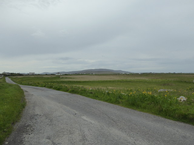
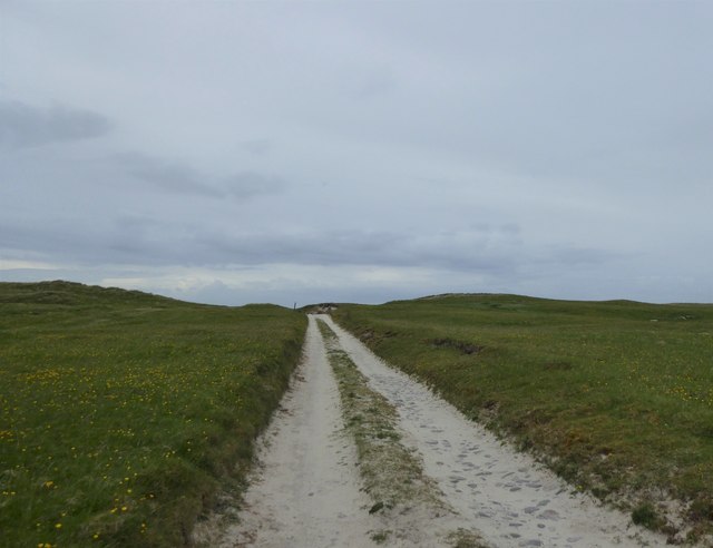
Aird Ruairidh, also known as Ard Roy, is a small rural settlement located in Inverness-shire, Scotland. Situated in the Scottish Highlands, this picturesque village is nestled amidst breathtaking landscapes, offering residents and visitors a tranquil and idyllic setting.

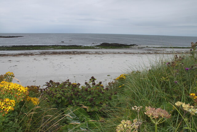
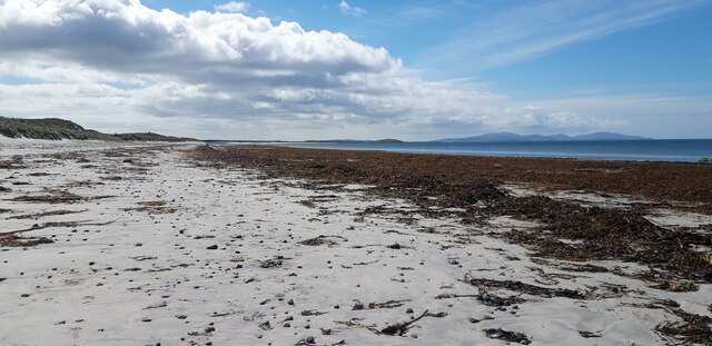
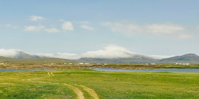
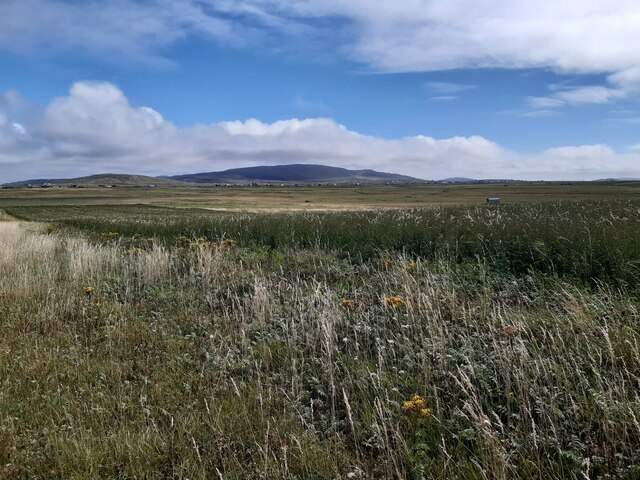
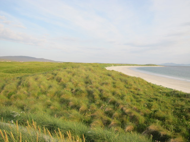
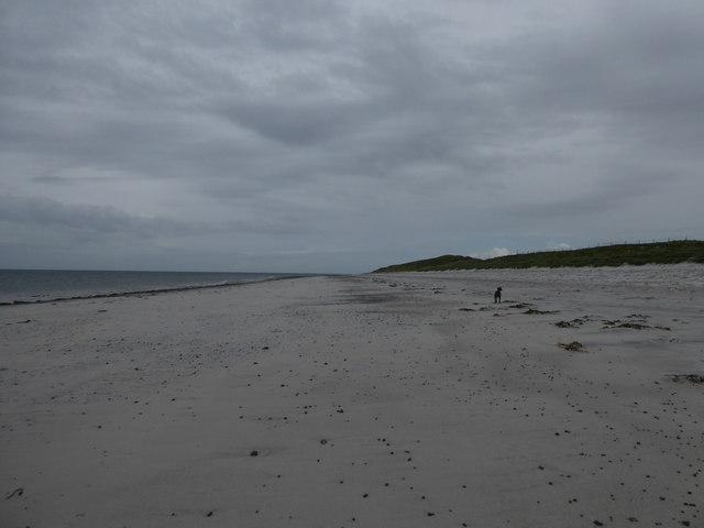
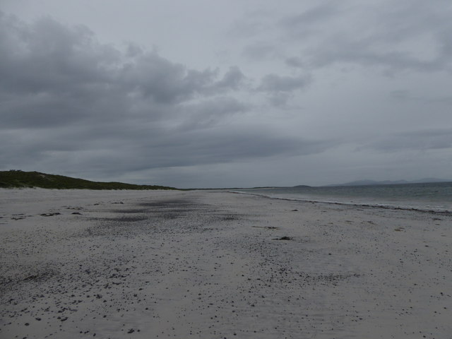
Aird Ruairidh is renowned for its natural beauty, characterized by rolling hills, lush green valleys, and stunning views of nearby lochs and mountains. The village is surrounded by an abundance of wildlife, making it an ideal destination for nature lovers and outdoor enthusiasts.

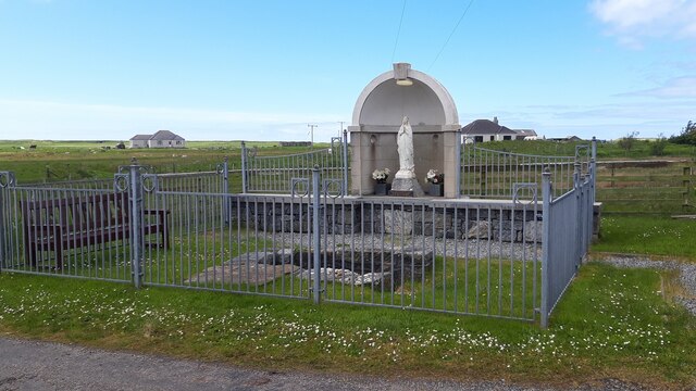
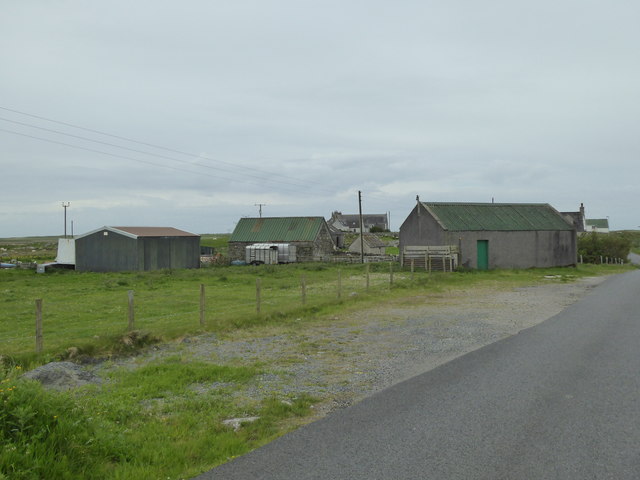
Despite its relatively small size, Aird Ruairidh has a close-knit community that takes pride in its rich history and cultural heritage. The village is home to several historic landmarks, including the remains of an ancient castle believed to have been built in the 13th century.

Ard Roy is primarily an agricultural community, with farming and livestock rearing being the main sources of income for the locals. The village has a few small businesses, including a local pub and a village shop that caters to the daily needs of its residents.

For those seeking recreational activities, Aird Ruairidh offers a variety of options. The surrounding countryside provides ample opportunities for hiking, cycling, and fishing. The village is also well-positioned for exploring the wider Inverness-shire area, with attractions such as Loch Ness and the Cairngorms National Park within easy reach.

In summary, Aird Ruairidh is a charming village in Inverness-shire, Scotland, known for its natural beauty, rich history, and strong sense of community. It offers a peaceful and serene environment for residents and visitors to enjoy the stunning landscapes and engage in outdoor activities.

If you have any feedback on the listing, please let us know in the comments section below.

Aird Ruairidh Images

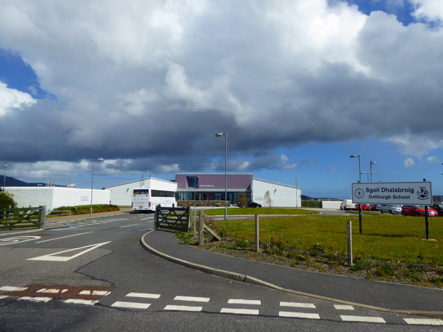
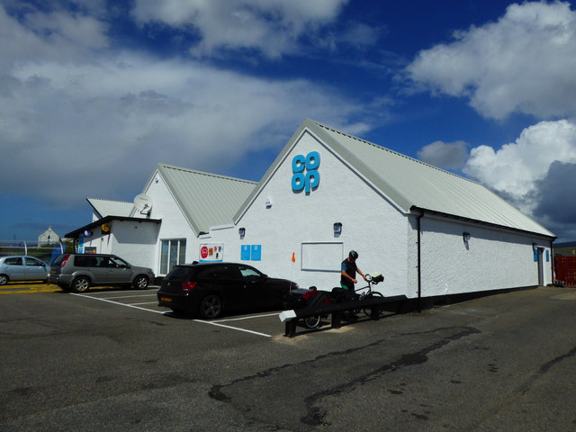
Images are sourced within 2km of 57.163614/-7.3948848 or Grid Reference NF7421. Thanks to Geograph Open Source API. All images are credited.

Loch Cuithe Chaiginn Heather in bloom around the shores of the loch.
Loch Cuithe Chaiginn
Heather in bloom around the shores of the loch.
Beach at Cille Pheadair Beach and rocks at Cille Pheadair at low tide taken from the edge of the dunes.
Beach at Cille Pheadair
Beach and rocks at Cille Pheadair at low tide taken from the edge of the dunes.
Seaweed at A' Mheallàch
St Mary Shrine & Holy Well
Daliburgh Co-op Largest food shop on South Uist.
Daliburgh Co-op
Largest food shop on South Uist.
Track to Loch Hallan This track leads across the machair to the mooring for the estate boat on Loch Hallan. Beware of rusty, tyre-puncturing fence wire hidden in the grass. Hallan is a very shallow loch. If your boat grounds on the sand, don't worry, just step over the side into six inches of water and tow the boat back to its mooring. Don't try this if you get stuck on the rocks on the far shore!
Track to Loch Hallan
This track leads across the machair to the mooring for the estate boat on Loch Hallan. Beware of rusty, tyre-puncturing fence wire hidden in the grass. Hallan is a very shallow loch. If your boat grounds on the sand, don't worry, just step over the side into six inches of water and tow the boat back to its mooring. Don't try this if you get stuck on the rocks on the far shore!
View over machair from Cille Pheadair View over machair from top of coastal dunes near Cille Pheadair. South Boisdale and Easabhal in the distance.
View over machair from Cille Pheadair
View over machair from top of coastal dunes near Cille Pheadair. South Boisdale and Easabhal in the distance.
Beach on the West Coast of South Uist
Track over the machair near Loch Hallan
Beach near Cladh Hàlainn
The Co-op at Dalabrog
Sgoil Dhalabroig/Daliburgh School
Co-op Supermarket, Daliburgh
Minor road, Dalabrog an Iar
Farm buildings, Dalabrog an Iar
Track in the machair, Hallan
Beach near Cladh Hàlainn
Old Milestone by the A888, Daliburgh, South Uist Parish Granite column by the B888, in parish of South Uist (South Uist District), Daliburgh, near lamppost just South of 'The co-operative Dalabrog'.

Inscription reads:- : 3 : (To Lochboisdale Pier)

Surveyed

Milestone Society National ID: WI_SULBS03.
Old Milestone by the A888, Daliburgh, South Uist Parish
Granite column by the B888, in parish of South Uist (South Uist District), Daliburgh, near lamppost just South of 'The co-operative Dalabrog'. Inscription reads:- : 3 : (To Lochboisdale Pier) Surveyed Milestone Society National ID: WI_SULBS03.
Show me another place!

Aird Ruairidh is located at Grid Ref: NF7421 (Lat: 57.163614, Lng: -7.3948848)

Unitary Authority: Na h-Eileanan an Iar

Police Authority: Highlands and Islands

What 3 Words

///solicitor.promising.sunbeam. Near Lochboisdale, Na h-Eileanan Siar

Related Wikis

Loch Hallan

Loch Hallan (Scottish Gaelic: Loch Thallan) is a loch (lake) in the Outer Hebrides, Scotland. It is located in the parish of South Uist, approximately...

Cladh Hallan

Cladh Hallan (Scottish Gaelic: Cladh Hàlainn, Scottish Gaelic pronunciation: [kʰl̪ˠɤɣ ˈhaːl̪ˠɪɲ]) is an archaeological site on the island of South Uist...

Daliburgh

Daliburgh (Scottish Gaelic: Dalabrog) is a crofting township on South Uist, in the Outer Hebrides, Scotland. Daliburgh is situated 1+1⁄2 miles (2.5 kilometres...

Askernish

Askernish (Scottish Gaelic: Àisgearnais, Aisgernis) is a crofting community on South Uist, in the Outer Hebrides, Scotland. Askernish is in the parish...

Nearby Amenities

Located within 500m of 57.163614,-7.3948848
Description: Hebridean Way - Fallen over
Hiking: yes
Information: guidepost
Tourism: information
Lat/Long: 57.1647952/-7.3996766
Description: Hebridean Way
Hiking: yes
Information: guidepost
Tourism: information
Lat/Long: 57.1645704/-7.3985259
Dalabrog an Iar
Name En: Daliburgh West
Name Gd: Dalabrog an Iar
Place: hamlet
Lat/Long: 57.1644242/-7.3874152
Our Lady of Lourdes Statue
Access: yes
Denomination: roman_catholic
Historic: wayside_shrine
Inscription: Our Lady of Lourdes Statue Consecrated on 22-06-2008 by Rt. Rev. Ian Murray Bishop of Argyll and the Isles
Religion: christian
Lat/Long: 57.1639753/-7.3888001
Barrier: cattle_grid
Lat/Long: 57.1644656/-7.3972324
Power: pole
Lat/Long: 57.1664085/-7.4007291
Power: pole
Lat/Long: 57.1658529/-7.4003858
Power: pole
Lat/Long: 57.1652959/-7.4000452
Power: pole
Lat/Long: 57.1646793/-7.399675
Power: pole
Lat/Long: 57.1645498/-7.3985271
Power: pole
Lat/Long: 57.1644022/-7.3971605
Power: pole
Lat/Long: 57.164288/-7.3958475
Power: pole
Lat/Long: 57.164192/-7.3945145
Power: pole
Lat/Long: 57.1640757/-7.393168
Power: pole
Lat/Long: 57.1639957/-7.3921273
Power: pole
Lat/Long: 57.163923/-7.3911456
Power: pole
Lat/Long: 57.1640233/-7.3900164
Turning Circle
Lat/Long: 57.1643311/-7.3910992
Power: pole
Lat/Long: 57.1651617/-7.387247
Power: pole
Lat/Long: 57.1639355/-7.3871843
Power: pole
Lat/Long: 57.1640191/-7.3884712
Power: pole
Lat/Long: 57.1639665/-7.3872295
Bench
Lat/Long: 57.1639374/-7.3887628
The data included in this document is from www.openstreetmap.org. The data is made available under ODbL.

Have you been to Aird Ruairidh?

Leave your review of Aird Ruairidh below (or comments, questions and feedback).