Àird Ruairidh
Hill, Mountain in Inverness-shire
Scotland
Àird Ruairidh

Àird Ruairidh is a notable hill located in Inverness-shire, Scotland. It sits within the rugged and picturesque landscape of the Scottish Highlands. With an elevation of approximately 864 meters (2,835 feet), it is classified as a mountain rather than a hill by many standards.
The summit of Àird Ruairidh offers breathtaking panoramic views of the surrounding countryside. On clear days, it is possible to see the nearby peaks of Ben Nevis and Cairngorm Mountains, as well as the sparkling waters of Loch Ness in the distance. The mountain is often shrouded in mist, adding to its mystical allure.
Hiking and mountaineering enthusiasts are drawn to Àird Ruairidh due to its challenging terrain. The ascent is steep and requires a good level of fitness and experience. However, the reward of reaching the summit is well worth the effort, as it provides a sense of accomplishment and an opportunity to connect with nature.
The surrounding area is rich in wildlife, with sightings of red deer, golden eagles, and red grouse being common. Ancient remnants of Scottish history, such as cairns and stone circles, can also be discovered during exploration.
Àird Ruairidh is a popular destination for outdoor enthusiasts and photographers, offering a unique and awe-inspiring glimpse into the natural beauty of Inverness-shire.
If you have any feedback on the listing, please let us know in the comments section below.
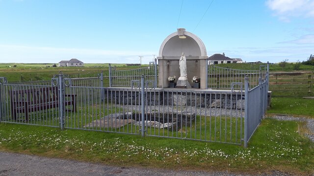
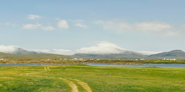
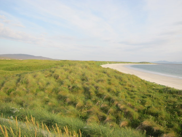
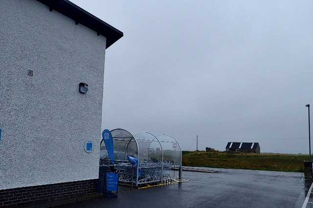
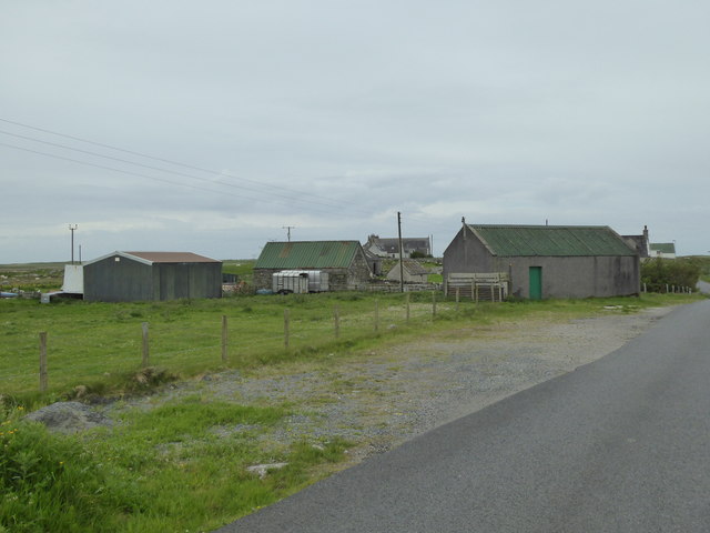
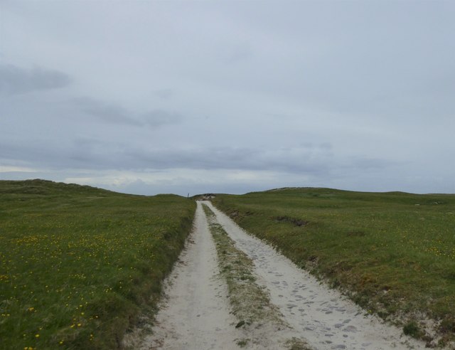
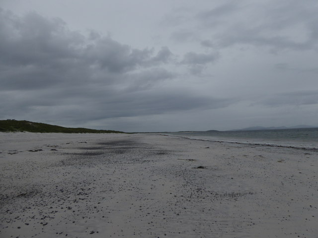
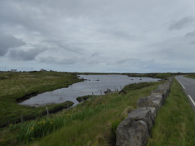
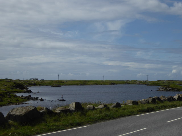
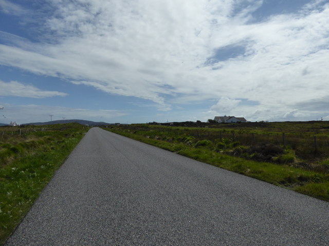
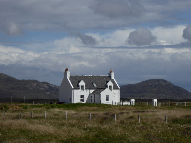
Àird Ruairidh Images
Images are sourced within 2km of 57.1702/-7.383836 or Grid Reference NF7421. Thanks to Geograph Open Source API. All images are credited.


Àird Ruairidh is located at Grid Ref: NF7421 (Lat: 57.1702, Lng: -7.383836)
Unitary Authority: Na h-Eileanan an Iar
Police Authority: Highlands and Islands
What 3 Words
///prowl.bats.column. Near Lochboisdale, Na h-Eileanan Siar
Nearby Locations
Related Wikis

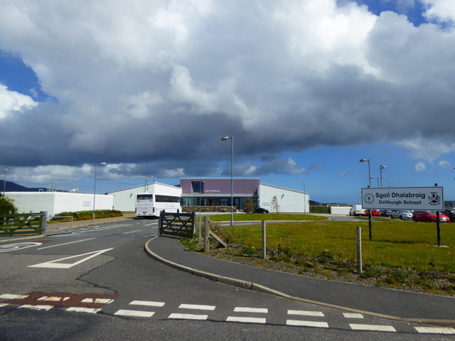
Daliburgh
Daliburgh (Scottish Gaelic: Dalabrog) is a crofting township on South Uist, in the Outer Hebrides, Scotland. Daliburgh is situated 1+1⁄2 miles (2.5 kilometres...

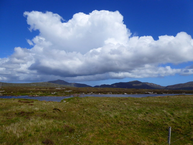
Loch Hallan
Loch Hallan (Scottish Gaelic: Loch Thallan) is a loch (lake) in the Outer Hebrides, Scotland. It is located in the parish of South Uist, approximately...

Cladh Hallan
Cladh Hallan (Scottish Gaelic: Cladh Hàlainn, Scottish Gaelic pronunciation: [kʰl̪ˠɤɣ ˈhaːl̪ˠɪɲ]) is an archaeological site on the island of South Uist...

Askernish
Askernish (Scottish Gaelic: Àisgearnais, Aisgernis) is a crofting community on South Uist, in the Outer Hebrides, Scotland. Askernish is in the parish...
Nearby Amenities
Located within 500m of 57.1702,-7.383836Have you been to Àird Ruairidh?
Leave your review of Àird Ruairidh below (or comments, questions and feedback).