Tonge Moor

Settlement in Lancashire

England

Tonge Moor

Victoria Square, Bolton Preparations are underway for the town's food and drink festival which in 2021 will take place on the square and surrounding streets from 27 August to 31 August.
Victoria Square, Bolton Credit: Phil and Juliette Platt

The requested URL returned error: 429 Too Many Requests

If you have any feedback on the listing, please let us know in the comments section below.
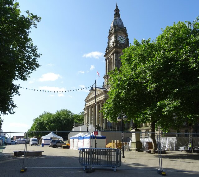
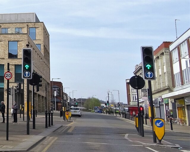
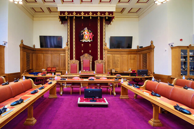
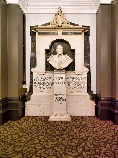
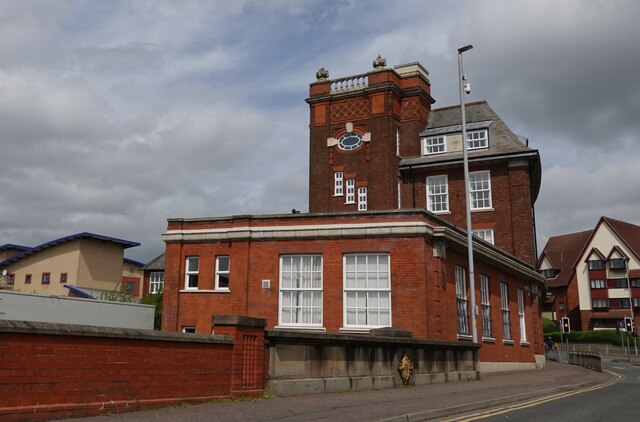
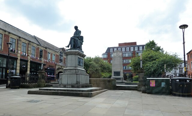
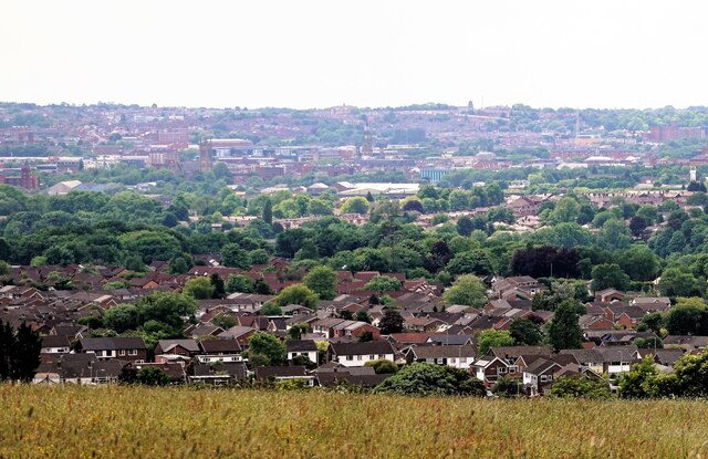
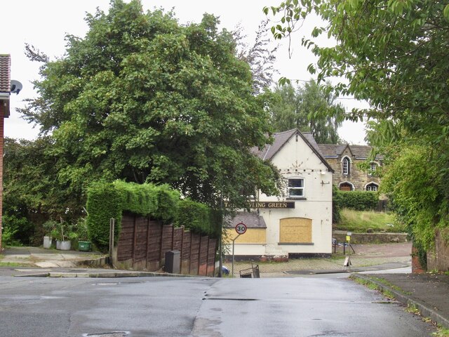
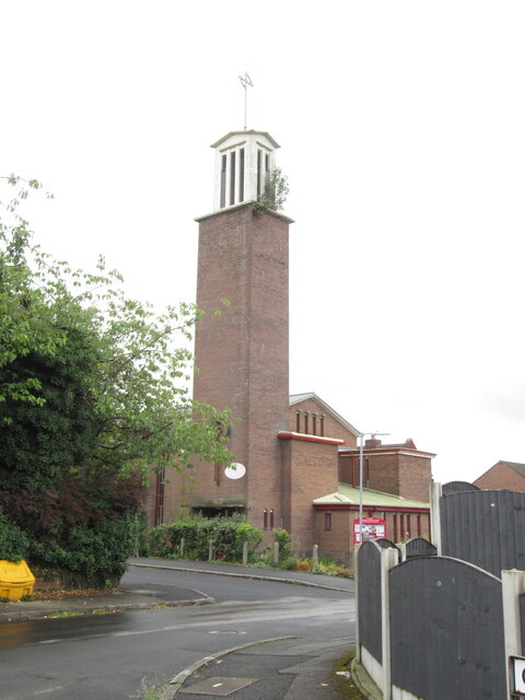
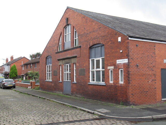
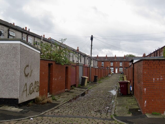
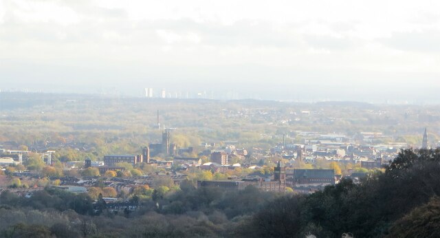
Tonge Moor Images

Images are sourced within 2km of 53.59215/-2.415444 or Grid Reference SD7210. Thanks to Geograph Open Source API. All images are credited.

Victoria Square, Bolton Preparations are underway for the town's food and drink festival which in 2021 will take place on the square and surrounding streets from 27 August to 31 August.
Victoria Square, Bolton
Preparations are underway for the town's food and drink festival which in 2021 will take place on the square and surrounding streets from 27 August to 31 August.
Great Moor Street, Bolton In the town centre.
Great Moor Street, Bolton
In the town centre.
Bolton Town Hall, Entertaining Room Adjacent to the Mayor's Parlour Bolton’s imposing town hall stands in Victoria Square (once the site of the town's market). First opened in 1873, it was extended in the 1930s.

It is a Grade II* listed building (List Entry 1388295 <span class="nowrap"><a title="https://historicengland.org.uk/listing/the-list/list-entry/1388295?section=official-list-entry" rel="nofollow ugc noopener" href="https://historicengland.org.uk/listing/the-list/list-entry/1388295?section=official-list-entry">Link</a><img style="margin-left:2px;" alt="External link" title="External link - shift click to open in new window" src="https://s1.geograph.org.uk/img/external.png" width="10" height="10"/></span> Historic England)
Bolton Town Hall, Entertaining Room Adjacent to the Mayor's Parlour
Bolton’s imposing town hall stands in Victoria Square (once the site of the town's market). First opened in 1873, it was extended in the 1930s. It is a Grade II* listed building (List Entry 1388295 LinkExternal link Historic England)
Bolton's Elephant (and Castle) Elephants feature prominently as symbols around the town of Bolton and its town hall. The symbol of the elephant has been used in Bolton for a long time and there is some circumstantial evidence to suggest that the Great Bolton Improvement Trustees used the elephant as a heraldic device in the 1790s but there is no documentary proof to back this up. One of the first recorded uses was in the official stamp of the Clerk to the Board of Trustees in 1799. The Trustees of Great Bolton adopted an elephant and castle as the town’s emblem long before the incorporation of the borough in 1838. In 1890 the County Borough of Bolton registered a new coat of arms with the College of Heralds, using the Elephant and Castle as a crest.

As one might expect, as a symbol of the town, the elephant and castle motif features throughout the town hall. The majority of the elephants inside the town hall are fixtures but some are on items such as chairs in the banqueting hall and on the mayoral insignia, including chains and badges. This one is a decoration on top of a silver tureen in <a href="https://www.geograph.org.uk/photo/7172360">SD7109 : Bolton Town Hall, Entertaining Room Adjacent to the Mayor's Parlour</a>.
Bolton's Elephant (and Castle)
Elephants feature prominently as symbols around the town of Bolton and its town hall. The symbol of the elephant has been used in Bolton for a long time and there is some circumstantial evidence to suggest that the Great Bolton Improvement Trustees used the elephant as a heraldic device in the 1790s but there is no documentary proof to back this up. One of the first recorded uses was in the official stamp of the Clerk to the Board of Trustees in 1799. The Trustees of Great Bolton adopted an elephant and castle as the town’s emblem long before the incorporation of the borough in 1838. In 1890 the County Borough of Bolton registered a new coat of arms with the College of Heralds, using the Elephant and Castle as a crest. As one might expect, as a symbol of the town, the elephant and castle motif features throughout the town hall. The majority of the elephants inside the town hall are fixtures but some are on items such as chairs in the banqueting hall and on the mayoral insignia, including chains and badges. This one is a decoration on top of a silver tureen in SD7109 : Bolton Town Hall, Entertaining Room Adjacent to the Mayor's Parlour.
Bolton Town Hall, The Mayor's Parlour Bolton’s imposing town hall stands in Victoria Square (once the site of the town's market). First opened in 1873, it was extended in the 1930s.

It is a Grade II* listed building (List Entry 1388295 <span class="nowrap"><a title="https://historicengland.org.uk/listing/the-list/list-entry/1388295?section=official-list-entry" rel="nofollow ugc noopener" href="https://historicengland.org.uk/listing/the-list/list-entry/1388295?section=official-list-entry">Link</a><img style="margin-left:2px;" alt="External link" title="External link - shift click to open in new window" src="https://s1.geograph.org.uk/img/external.png" width="10" height="10"/></span> Historic England)
Bolton Town Hall, The Mayor's Parlour
Bolton’s imposing town hall stands in Victoria Square (once the site of the town's market). First opened in 1873, it was extended in the 1930s. It is a Grade II* listed building (List Entry 1388295 LinkExternal link Historic England)
The Council Chamber, Bolton Town Hall Originally the courtroom.
The Council Chamber, Bolton Town Hall
Originally the courtroom.
Victoria Square, a view from Bolton Town Hall A view of Victoria Square and the town's War Memorial from the (former) main entrance to Bolton Town Hall, looking between the pillars at the top of the steps.

The Bolton Cenotaph War Memorial is possibly one of the finest of the many memorials in England commemorating the end of the 1914-1918 War. It is a Grade II Listed Building (List Entry 1388289  <span class="nowrap"><a title="https://historicengland.org.uk/listing/the-list/list-entry/1388289" rel="nofollow ugc noopener" href="https://historicengland.org.uk/listing/the-list/list-entry/1388289">Link</a><img style="margin-left:2px;" alt="External link" title="External link - shift click to open in new window" src="https://s1.geograph.org.uk/img/external.png" width="10" height="10"/></span> Historic England).
Victoria Square, a view from Bolton Town Hall
A view of Victoria Square and the town's War Memorial from the (former) main entrance to Bolton Town Hall, looking between the pillars at the top of the steps. The Bolton Cenotaph War Memorial is possibly one of the finest of the many memorials in England commemorating the end of the 1914-1918 War. It is a Grade II Listed Building (List Entry 1388289 LinkExternal link Historic England).
Bust of Edward VII, Bolton Festival Hall This Ceravezza marble bust of King Edward VII by George Frampton was funded by subscription and unveiled on 19 December 1912 in what was then the Albert Hall.  It was one of the few artifacts to survive the Town Hall fire in 1981.

Edward VII had opened Bolton Town Hall in 1873  whilst he was Prince of Wales.
Bust of Edward VII, Bolton Festival Hall
This Ceravezza marble bust of King Edward VII by George Frampton was funded by subscription and unveiled on 19 December 1912 in what was then the Albert Hall. It was one of the few artifacts to survive the Town Hall fire in 1981. Edward VII had opened Bolton Town Hall in 1873 whilst he was Prince of Wales.
Bolton Town Hall, Victoria Square Bolton’s imposing town hall stands in Victoria Square (once the site of the town's market). First opened in 1873, it was extended in the 1930s.

It is a Grade II* listed building (List Entry 1388295 <span class="nowrap"><a title="https://historicengland.org.uk/listing/the-list/list-entry/1388295?section=official-list-entry" rel="nofollow ugc noopener" href="https://historicengland.org.uk/listing/the-list/list-entry/1388295?section=official-list-entry">Link</a><img style="margin-left:2px;" alt="External link" title="External link - shift click to open in new window" src="https://s1.geograph.org.uk/img/external.png" width="10" height="10"/></span> Historic England)
Bolton Town Hall, Victoria Square
Bolton’s imposing town hall stands in Victoria Square (once the site of the town's market). First opened in 1873, it was extended in the 1930s. It is a Grade II* listed building (List Entry 1388295 LinkExternal link Historic England)
Former school and workshop for the blind The building, dating from 1867, now houses a skills and employment advice centre together with other advice and social help bodies.
Former school and workshop for the blind
The building, dating from 1867, now houses a skills and employment advice centre together with other advice and social help bodies.
Nelson Square, Bolton In the foreground, the statue of Samuel Crompton, and behind that the cenotaph memorial to the soldiers of the Bolton Artillery who died in the two world wars.
Nelson Square, Bolton
In the foreground, the statue of Samuel Crompton, and behind that the cenotaph memorial to the soldiers of the Bolton Artillery who died in the two world wars.
A view of Bolton from Harwood Centre and towards the horizon the town hall clock tower can be seen, and to its left, St. Peter's Church - Bolton Parish Church.
A view of Bolton from Harwood
Centre and towards the horizon the town hall clock tower can be seen, and to its left, St. Peter's Church - Bolton Parish Church.
The Bowling Green, Tonge Fold Boarded up pub on the Bury Road.
The Bowling Green, Tonge Fold
Boarded up pub on the Bury Road.
Tower, St Chad's Church, Tonge Fold The bush on the tower has appeared since this <a href="https://www.geograph.org.uk/photo/2735785">SD7309 : St Chad's Church, Tonge Fold</a> was taken in 2011.
Tower, St Chad's Church, Tonge Fold
The bush on the tower has appeared since this SD7309 : St Chad's Church, Tonge Fold was taken in 2011.
Longworth Street, Tonge Fold The building, possibly in industrial use has a stone carving stating that it was St Chad's Sunday School.
Longworth Street, Tonge Fold
The building, possibly in industrial use has a stone carving stating that it was St Chad's Sunday School.
Back Dunstan Street, Tonge Fold
A view of Bolton The town hall is on the right and the parish church left of centre. Manchester buildings can be seen on the skyline. Photographed from Scout Road.
A view of Bolton
The town hall is on the right and the parish church left of centre. Manchester buildings can be seen on the skyline. Photographed from Scout Road.
Show me another place!

Tonge Moor is located at Grid Ref: SD7210 (Lat: 53.59215, Lng: -2.415444)

Unitary Authority: Bolton

Police Authority: Greater Manchester

What 3 Words

///crowds.cars.void. Near Bolton, Manchester

Related Wikis

Hall i' th' Wood railway station

Hall i' th' Wood railway station is the last stop before Bolton on the Northern Trains franchise's Ribble Valley Line into Blackburn and Clitheroe in England...

Bolton power stations

The two Bolton power stations supplied electric power to the town of Bolton and the wider area between 1894 and 1979. The first power station was located...

Bolton North East (UK Parliament constituency)

Bolton North East is a constituency represented in the House of Commons of the UK Parliament since 2019 by Mark Logan, a Conservative. == Constituency... ==

Eagley Brook

Eagley Brook (also known during the formative part of its course as Belmont Brook) is a small river of Lancashire and Greater Manchester in England. Rising...

Nearby Amenities

Located within 500m of 53.59215,-2.415444
Traffic Signals
Traffic Signals Direction: backward
Lat/Long: 53.5884535/-2.4122817
Bus Stop
Tonge Moor Rd/Starkie Arms
Bus: yes
Naptan AtcoCode: 1800WA19271
Naptan Bearing: S
Naptan CommonName: Tonge Moor Rd/Starkie Arms
Naptan Indicator: Op House 172
Naptan Landmark: SALON
Naptan NaptanCode: manpdpdj
Naptan PlusbusZoneRef: MNCRPIC
Naptan ShortCommonName: Starkie Arms
Naptan Street: Tonge Moor Road
Naptan Verified: no
Network: TfGM
Public Transport: platform
Source: naptan_import
Lat/Long: 53.5890269/-2.4123675
Bus Stop
Tonge Moor Rd/Warby St.
Bus: yes
Naptan AtcoCode: 1800WA19331
Naptan Bearing: S
Naptan CommonName: Tonge Moor Rd/Warby St.
Naptan Indicator: Co-op
Naptan Landmark: CO-OP
Naptan NaptanCode: manpdpga
Naptan PlusbusZoneRef: MNCRPIC
Naptan ShortCommonName: Warby St.
Naptan Street: Tonge Moor Road
Naptan Verified: no
Network: TfGM
Public Transport: platform
Source: naptan_import
Lat/Long: 53.5906178/-2.4123679
Bus Stop
Tonge Moor Rd/Warby St.
Bus: yes
Naptan AtcoCode: 1800WA19341
Naptan Bearing: N
Naptan CommonName: Tonge Moor Rd/Warby St.
Naptan Indicator: Os House 265
Naptan Landmark: HOUSE 265
Naptan NaptanCode: manpdpgd
Naptan PlusbusZoneRef: MNCRPIC
Naptan ShortCommonName: Warby St.
Naptan Street: Tonge Moor Road
Naptan Verified: no
Network: TfGM
Public Transport: platform
Source: naptan_import
Lat/Long: 53.5912913/-2.4125557
Bus Stop
Tonge Moor Rd/Haroldene St.
Bus: yes
Naptan AtcoCode: 1800WA19351
Naptan Bearing: S
Naptan CommonName: Tonge Moor Rd/Haroldene St.
Naptan Indicator: Op Castleton St
Naptan Landmark: HOUSE 370
Naptan NaptanCode: manpdpgj
Naptan PlusbusZoneRef: MNCRPIC
Naptan ShortCommonName: Haroldene St.
Naptan Street: Tonge Moor Road
Naptan Verified: no
Network: TfGM
Public Transport: platform
Source: naptan_import
Lat/Long: 53.5933426/-2.4120167
Bus Stop
Tonge Moor Rd/Haroldene St.
Bus: yes
Naptan AtcoCode: 1800WA19641
Naptan Bearing: N
Naptan CommonName: Tonge Moor Rd/Haroldene St.
Naptan Indicator: Os House 369
Naptan Landmark: HOUSE 369
Naptan NaptanCode: manpdptm
Naptan PlusbusZoneRef: MNCRPIC
Naptan ShortCommonName: Haroldene St.
Naptan Street: Tonge Moor Road
Naptan Verified: no
Network: TfGM
Public Transport: platform
Source: naptan_import
Lat/Long: 53.5936658/-2.4121256
Bus Stop
Tonge Moor Rd/Starkie Arms
Bus: yes
Naptan AtcoCode: 1800WA19671
Naptan Bearing: N
Naptan CommonName: Tonge Moor Rd/Starkie Arms
Naptan Indicator: Os House 177
Naptan Landmark: HOUSE 177
Naptan NaptanCode: manpdpwa
Naptan PlusbusZoneRef: MNCRPIC
Naptan ShortCommonName: Starkie Arms
Naptan Street: Tonge Moor Road
Naptan Verified: no
Network: TfGM
Public Transport: platform
Source: naptan_import
Lat/Long: 53.589143/-2.412565
Bus Stop
Thicketford Road/Moorfield Grove
Bus: yes
Naptan AtcoCode: 1800WA25691
Naptan Bearing: W
Naptan CommonName: Thicketford Road/Moorfield Grove
Naptan Indicator: Church
Naptan Landmark: CHURCH
Naptan NaptanCode: manpgagw
Naptan PlusbusZoneRef: MNCRPIC
Naptan ShortCommonName: Moorfield Grove
Naptan Street: Thicketford Road
Naptan Verified: no
Network: TfGM
Public Transport: platform
Source: naptan_import
Lat/Long: 53.588685/-2.4113282
Bus Stop
Thicketford Road/Moorfield Grove
Bus: yes
Naptan AtcoCode: 1800WA25701
Naptan Bearing: E
Naptan CommonName: Thicketford Road/Moorfield Grove
Naptan Indicator: Opp Church
Naptan Landmark: OPP CHURCH
Naptan NaptanCode: manpgaja
Naptan PlusbusZoneRef: MNCRPIC
Naptan ShortCommonName: Moorfield Grove
Naptan Street: Thicketford Road
Naptan Verified: no
Network: TfGM
Public Transport: platform
Source: naptan_import
Lat/Long: 53.5888338/-2.4109375
Tonge Moor
Is In: Bolton, Greater Manchester, England, UK
Place: suburb
Lat/Long: 53.5883888/-2.4124222
Turning Circle
Lat/Long: 53.5930498/-2.4103876
Turning Circle
Lat/Long: 53.5916967/-2.4103684
Turning Circle
Lat/Long: 53.5906506/-2.4086983
Turning Circle
Lat/Long: 53.5916454/-2.4087402
Turning Circle
Lat/Long: 53.5916433/-2.4080313
Turning Circle
Lat/Long: 53.5928603/-2.4087144
Barrier: bollard
Lat/Long: 53.5934245/-2.4090519
Noexit: yes
Lat/Long: 53.5934367/-2.4144791
Turning Circle
Lat/Long: 53.5929135/-2.4142218
Turning Circle
Lat/Long: 53.5922683/-2.4143593
Power: tower
Lat/Long: 53.5915064/-2.420324
Power: tower
Lat/Long: 53.5941856/-2.4146105
Power: tower
Lat/Long: 53.5914984/-2.4161662
Traffic Calming: hump
Lat/Long: 53.5961225/-2.4172474
Railway: switch
Lat/Long: 53.5893758/-2.4168916
Waste Basket
Lat/Long: 53.5886815/-2.4113546
Crossing
Crossing: pedestrian_signals
Lat/Long: 53.5891716/-2.4100463
Post Box
Lat/Long: 53.5951883/-2.4114943
Crossing
Button Operated: yes
Crossing: traffic_signals
Crossing Island: no
Tactile Paving: yes
Lat/Long: 53.5940107/-2.4119258
Waste Basket
Lat/Long: 53.5924974/-2.4124677
Crossing
Crossing: zebra
Kerb: lowered
Tactile Paving: yes
Lat/Long: 53.5885447/-2.4119736
Traffic Calming: hump
Lat/Long: 53.5966214/-2.4153935
Waste Basket
Lat/Long: 53.5943654/-2.411924
Waste Basket
Lat/Long: 53.5909704/-2.4126014
Crossing
Crossing: traffic_signals
Lat/Long: 53.5909073/-2.4124626
Waste Basket
Lat/Long: 53.5912768/-2.4125476
Post Box
Lat/Long: 53.5909701/-2.4125881
Man Made: mast
Tower Type: communication
Lat/Long: 53.5887513/-2.4201423
Power: tower
Lat/Long: 53.5915037/-2.4189333
Barrier: bollard
Lat/Long: 53.5964606/-2.4134176
Barrier: bollard
Lat/Long: 53.5964474/-2.4133018
Traffic Signals
Traffic Signals: signal
Traffic Signals Direction: forward
Lat/Long: 53.5886251/-2.4124393
Traffic Signals
Traffic Signals: signal
Traffic Signals Direction: forward
Lat/Long: 53.5883895/-2.4122903
Traffic Signals
Traffic Signals: signal
Traffic Signals Direction: forward
Lat/Long: 53.5883833/-2.4125746
Noexit: yes
Lat/Long: 53.5934798/-2.4139541
Traffic Calming: hump
Lat/Long: 53.5965777/-2.4166201
Traffic Calming: hump
Lat/Long: 53.5962684/-2.4150445
Traffic Calming: hump
Lat/Long: 53.5960132/-2.4155882
Traffic Calming: hump
Lat/Long: 53.5960065/-2.4166612
Traffic Calming: hump
Lat/Long: 53.5957592/-2.4154322
Traffic Calming: hump
Lat/Long: 53.5956495/-2.4147562
Traffic Calming: hump
Lat/Long: 53.5961887/-2.4145459
Traffic Calming: hump
Lat/Long: 53.5964302/-2.414178
Traffic Calming: hump
Lat/Long: 53.595275/-2.4145
Traffic Calming: hump
Lat/Long: 53.5956898/-2.4172548
Traffic Signals
Traffic Signals: signal
Traffic Signals Direction: backward
Lat/Long: 53.5932538/-2.412467
Traffic Signals
Traffic Signals: signal
Traffic Signals Direction: forward
Lat/Long: 53.5930783/-2.4121814
Traffic Signals
Traffic Signals: signal
Traffic Signals Direction: backward
Lat/Long: 53.5933349/-2.4121096
Traffic Signals
Traffic Signals: crossing
Traffic Signals Direction: forward
Lat/Long: 53.5939788/-2.411934
Traffic Signals
Traffic Signals: crossing
Traffic Signals Direction: backward
Lat/Long: 53.5940428/-2.4119175
Traffic Signals
Traffic Signals: signal
Traffic Signals Direction: forward
Lat/Long: 53.5908782/-2.4124633
Traffic Signals
Traffic Signals: signal
Traffic Signals Direction: backward
Lat/Long: 53.5909391/-2.4124625
Turning Circle
Lat/Long: 53.5934323/-2.4152673
Noexit: yes
Lat/Long: 53.5948152/-2.4156274
Noexit: yes
Lat/Long: 53.5947822/-2.4156439
Addr City: Bolton
Addr Housenumber: 1
Addr Postcode: BL2 2NT
Addr Street: Le Gendre Street South
Lat/Long: 53.5894908/-2.4093508
The data included in this document is from www.openstreetmap.org. The data is made available under ODbL.

Have you been to Tonge Moor?

Leave your review of Tonge Moor below (or comments, questions and feedback).