Tonge Fold

Settlement in Lancashire

England

Tonge Fold

Victoria Square, Bolton Preparations are underway for the town's food and drink festival which in 2021 will take place on the square and surrounding streets from 27 August to 31 August.
Victoria Square, Bolton Credit: Phil and Juliette Platt

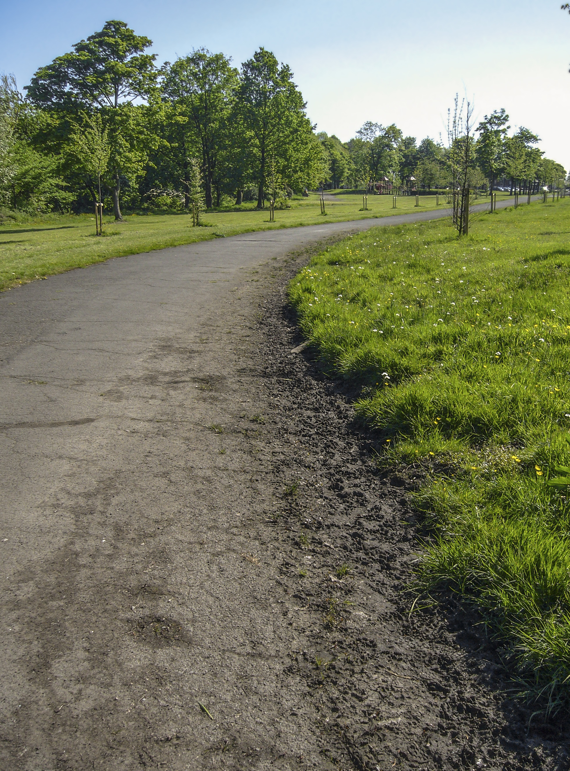
Tonge Fold is a residential area located in the town of Bolton, Lancashire, in the northwest of England. It is situated near the River Tonge and is known for its close-knit community and family-friendly atmosphere. The area features a mix of traditional terraced houses, modern apartments, and green spaces, making it an attractive place to live for families and young professionals.

Tonge Fold is well-served by local amenities, including shops, schools, and parks, providing residents with everything they need for day-to-day living. The area also benefits from good transport links, with regular bus services connecting it to Bolton town center and other nearby towns and cities.

Overall, Tonge Fold offers a peaceful and welcoming environment for its residents, with a strong sense of community spirit and a range of amenities and services within easy reach. Its convenient location and range of housing options make it a popular choice for those looking to settle down in the Bolton area.

If you have any feedback on the listing, please let us know in the comments section below.
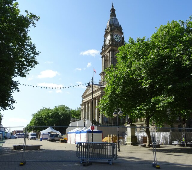
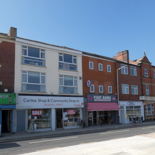
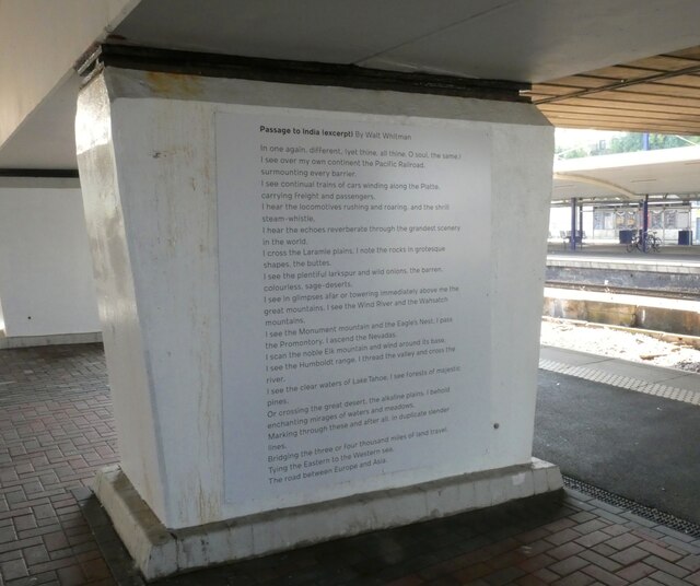
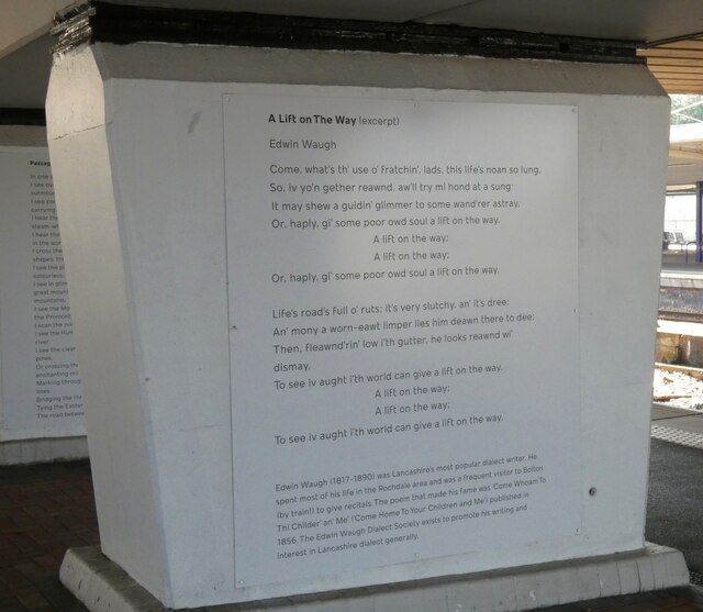
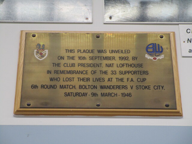
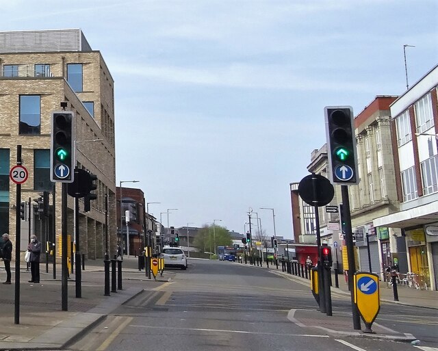
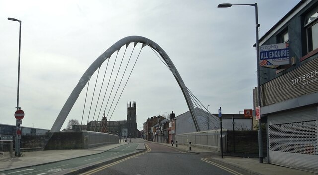
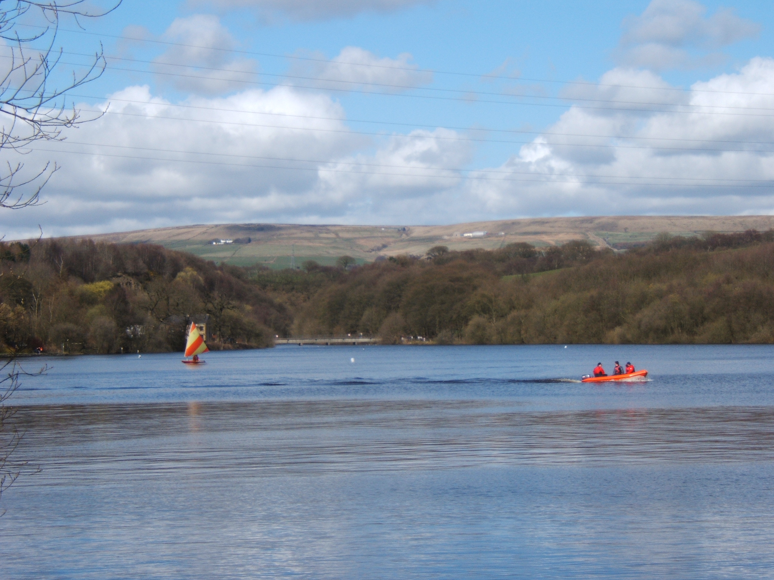
Tonge Fold Images

Images are sourced within 2km of 53.579145/-2.407009 or Grid Reference SD7309. Thanks to Geograph Open Source API. All images are credited.

Victoria Square, Bolton Preparations are underway for the town's food and drink festival which in 2021 will take place on the square and surrounding streets from 27 August to 31 August.
Victoria Square, Bolton
Preparations are underway for the town's food and drink festival which in 2021 will take place on the square and surrounding streets from 27 August to 31 August.
Platform 4, Bolton
Platform 4, Bolton
Newport Street 
On the left is the Caritas Shop & Community Drop-in <span class="nowrap"><a title="https://www.caritassalford.org.uk/service-view/clothing-and-other-items/" rel="nofollow ugc noopener" href="https://www.caritassalford.org.uk/service-view/clothing-and-other-items/">Link</a><img style="margin-left:2px;" alt="External link" title="External link - shift click to open in new window" src="https://s1.geograph.org.uk/img/external.png" width="10" height="10"/></span> which occupies what was formerly the photographers Olan Mills.

Next door is  Piggy Banks which opened in 2017 in what had previously been Anglian home improvements. Originally it was open for breakfasts and afternoon teas but it has now transformed itself into a Cocktail and Bottle Bar.

To the right is the Station Cafe. Previously it was Trinity Cafe which had opened in 2014 in what was formerly an opticians.
<a href="https://www.geograph.org.uk/photo/5672092">SD7108 : Newport Street</a>.
Newport Street
On the left is the Caritas Shop & Community Drop-in LinkExternal link which occupies what was formerly the photographers Olan Mills. Next door is Piggy Banks which opened in 2017 in what had previously been Anglian home improvements. Originally it was open for breakfasts and afternoon teas but it has now transformed itself into a Cocktail and Bottle Bar. To the right is the Station Cafe. Previously it was Trinity Cafe which had opened in 2014 in what was formerly an opticians. SD7108 : Newport Street.
Passage to India 
Extract from a poem by Walt Whitman displayed on a column at Bolton Station.
Passage to India
Extract from a poem by Walt Whitman displayed on a column at Bolton Station.
A Lift On The Way 
Extract from a Lancashire Dialect poem by Edwin Waugh displayed on a column at Bolton Station.
A Lift On The Way
Extract from a Lancashire Dialect poem by Edwin Waugh displayed on a column at Bolton Station.
Original Burnden Park Disaster Plaque First unveiled at Bolton Wanderers FC's former home ground which stood on this site.  Bolton left Burnden Park after 102 years in 1997 and the ground was eventually demolished 2 years later.  The Asda store on the site opened in 2005 with the plaque placed above the cash tills.  Another plaque with the names of those who never made it home was unveiled on the 70th anniversary by the store exit <a href="https://www.geograph.org.uk/photo/6857331">SD7208 : Burnden Park Disaster Memorial Plaque</a>
Original Burnden Park Disaster Plaque
First unveiled at Bolton Wanderers FC's former home ground which stood on this site. Bolton left Burnden Park after 102 years in 1997 and the ground was eventually demolished 2 years later. The Asda store on the site opened in 2005 with the plaque placed above the cash tills. Another plaque with the names of those who never made it home was unveiled on the 70th anniversary by the store exit SD7208 : Burnden Park Disaster Memorial Plaque
Reservoir by Smith's Road A former industrial reservoir in the valley of the River Croal.
Reservoir by Smith's Road
A former industrial reservoir in the valley of the River Croal.
River Croal at Moses Gate Looking downstream from Hacken Bridge. Moses Gate Country Park is on the left.
River Croal at Moses Gate
Looking downstream from Hacken Bridge. Moses Gate Country Park is on the left.
Path in Moses Gate Country Park This used to be a track leading to a car park, but the car park has been discontinued.
Path in Moses Gate Country Park
This used to be a track leading to a car park, but the car park has been discontinued.
Paddocks at Darcy Lever The OS map refers to the remains of Darcy Lever Old Hall on this site, though I don't think there is much to be seen of them. The site now has a few cottages and some stabling. It is viewed in light rain.
Paddocks at Darcy Lever
The OS map refers to the remains of Darcy Lever Old Hall on this site, though I don't think there is much to be seen of them. The site now has a few cottages and some stabling. It is viewed in light rain.
Treated grazing land at Darcy Lever A lot of horses live in the locality. A rainy day is contributing to the misty effect.
Treated grazing land at Darcy Lever
A lot of horses live in the locality. A rainy day is contributing to the misty effect.
Paddocks at Darcy Lever Looking east from Croft Side on a wet day.
Paddocks at Darcy Lever
Looking east from Croft Side on a wet day.
Football ground on Radcliffe Road The home of Bolton County AFC which plays in the Manchester League. The ground is viewed in rain.
Football ground on Radcliffe Road
The home of Bolton County AFC which plays in the Manchester League. The ground is viewed in rain.
Footpath crossing near Bradley Fold Cycle routes have been developed on the route of a former railway.
Footpath crossing near Bradley Fold
Cycle routes have been developed on the route of a former railway.
Great Moor Street, Bolton In the town centre.
Great Moor Street, Bolton
In the town centre.
Newport Street, Bolton At the bridge over the railway. The building in the background was Trinity C. of E. church but is now converted into apartments.
Newport Street, Bolton
At the bridge over the railway. The building in the background was Trinity C. of E. church but is now converted into apartments.
Road junction Hacken Lane meets Radcliffe Road.
Road junction
Hacken Lane meets Radcliffe Road.
Commemorating fallen soldiers Around the borough five similar sculptures were erected in 2018 by Bolton Council to commemorate the fallen soldiers of World War One. This installation is at the junction of Radcliffe Road and Long Lane.
Commemorating fallen soldiers
Around the borough five similar sculptures were erected in 2018 by Bolton Council to commemorate the fallen soldiers of World War One. This installation is at the junction of Radcliffe Road and Long Lane.
Show me another place!

Tonge Fold is located at Grid Ref: SD7309 (Lat: 53.579145, Lng: -2.407009)

Unitary Authority: Bolton

Police Authority: Greater Manchester

What 3 Words

///softly.score.stow. Near Bolton, Manchester

Related Wikis

Tonge, Bolton

Tonge is an outlying area of Bolton, in Greater Manchester, England. The name is supposed to be derived from the Old English "tang" or "twang" meaning...

Fred Dibnah

Frederick Travis Dibnah, (28 April 1938 – 6 November 2004), was an English steeplejack and television personality, with a keen interest in mechanical...

Bradshaw Brook

Bradshaw Brook is a river draining parts of Lancashire and Greater Manchester in Northern England. Starting life as Cadshaw Brook draining a valley named...

Leverhulme Park

Leverhulme Park is the largest park in the town of Bolton, Greater Manchester. It was donated to the people of Bolton by, and named after, the late Lord...

Nearby Amenities

Located within 500m of 53.579145,-2.407009
Tonge Fold
Is In: Bolton, Greater Manchester, England, UK
Place: suburb
Source: npe
Lat/Long: 53.5805899/-2.4053503
Bus Stop
Bradford St/Radcliffe Rd
Bench: no
Bin: yes
Bus: yes
Naptan AtcoCode: 1800WA02851
Naptan Bearing: NE
Naptan CommonName: Bradford St/Radcliffe Rd
Naptan Indicator: Bradford Arms
Naptan Landmark: SERVICE STATION
Naptan NaptanCode: manjwgdm
Naptan PlusbusZoneRef: MNCRPIC
Naptan ShortCommonName: Radcliffe Rd
Naptan Street: BRADFORD STREET
Naptan Verified: no
Network: TfGM
Public Transport: platform
Shelter: yes
Source: naptan_import
Lat/Long: 53.5787601/-2.4141135
Bus Stop
Ainsworth Lane/Ainsworth Court
Bus: yes
Naptan AtcoCode: 1800WA08251
Naptan Bearing: N
Naptan CommonName: Ainsworth Lane/Ainsworth Court
Naptan Indicator: Pub Garden
Naptan Landmark: PUB GARDEN
Naptan NaptanCode: manjwmdm
Naptan PlusbusZoneRef: MNCRPIC
Naptan ShortCommonName: Ainsworth Court
Naptan Street: AINSWORTH LANE
Naptan Verified: no
Network: TfGM
Public Transport: platform
Source: naptan_import
Lat/Long: 53.5808677/-2.407151
Bus Stop
Bury Rd/The Black Horse
Bus: yes
Naptan AtcoCode: 1800WA11701
Naptan Bearing: W
Naptan CommonName: Bury Rd/The Black Horse
Naptan Indicator: Black Horse
Naptan Landmark: BLACK HORSE PUB
Naptan NaptanCode: manjwtmp
Naptan PlusbusZoneRef: MNCRPIC
Naptan ShortCommonName: The Black Horse
Naptan Street: BURY ROAD
Naptan Verified: no
Network: TfGM
Public Transport: platform
Shelter: yes
Source: naptan_import
Lat/Long: 53.5805875/-2.4015311
Bus Stop
Bury Rd/The Black Horse
Bus: yes
Naptan AtcoCode: 1800WA11711
Naptan Bearing: E
Naptan CommonName: Bury Rd/The Black Horse
Naptan Indicator: Os Club
Naptan Landmark: HOUSE 429
Naptan NaptanCode: manjwtmt
Naptan PlusbusZoneRef: MNCRPIC
Naptan ShortCommonName: The Black Horse
Naptan Street: BURY ROAD
Naptan Verified: no
Network: TfGM
Public Transport: platform
Source: naptan_import
Lat/Long: 53.5806841/-2.4008389
Bus Stop
Bury Rd/Tonge Fold Post Office
Bench: no
Bin: yes
Bus: yes
Naptan AtcoCode: 1800WA11721
Naptan Bearing: W
Naptan CommonName: Bury Rd/Tonge Fold Post Office
Naptan Indicator: Co-op
Naptan Landmark: CO-OP
Naptan NaptanCode: manjwtmw
Naptan PlusbusZoneRef: MNCRPIC
Naptan ShortCommonName: Tonge Fold
Naptan Street: BURY ROAD
Naptan Verified: no
Network: TfGM
Public Transport: platform
Shelter: yes
Source: naptan_import
Lat/Long: 53.5804728/-2.4051946
Bus Stop
Bury Rd/Tonge Fold Post Office
Bench: no
Bin: yes
Bus: yes
Naptan AtcoCode: 1800WA11731
Naptan Bearing: E
Naptan CommonName: Bury Rd/Tonge Fold Post Office
Naptan Indicator: Kentucky Fried
Naptan Landmark: TAKE AWAY SHOP
Naptan NaptanCode: manjwtpa
Naptan PlusbusZoneRef: MNCRPIC
Naptan ShortCommonName: Tonge Fold
Naptan Street: BURY ROAD
Naptan Verified: no
Network: TfGM
Public Transport: platform
Shelter: no
Source: naptan_import
Tactile Paving: no
Lat/Long: 53.5805908/-2.4056119
Bus Stop
Ainsworth Lane/Wisbeck Road
Bus: yes
Naptan AtcoCode: 1800WA25771
Naptan Bearing: S
Naptan CommonName: Ainsworth Lane/Wisbeck Road
Naptan Indicator: O/s House 86
Naptan Landmark: HOUSE 86
Naptan NaptanCode: manpgama
Naptan PlusbusZoneRef: MNCRPIC
Naptan ShortCommonName: Wisbeck Road
Naptan Street: AINSWORTH LANE
Naptan Verified: no
Network: TfGM
Public Transport: platform
Source: naptan_import
Lat/Long: 53.582332/-2.4066229
Bus Stop
Ainsworth Lane/Wisbeck Road
Bus: yes
Naptan AtcoCode: 1800WA25781
Naptan Bearing: N
Naptan CommonName: Ainsworth Lane/Wisbeck Road
Naptan Indicator: O/s House 93
Naptan Landmark: HOUSE 93
Naptan NaptanCode: manpgamd
Naptan PlusbusZoneRef: MNCRPIC
Naptan ShortCommonName: Wisbeck Road
Naptan Street: AINSWORTH LANE
Naptan Verified: no
Network: TfGM
Public Transport: platform
Source: naptan_import
Lat/Long: 53.5826998/-2.4068379
Bus Stop
Bury Rd/Ainsworth Lane
Bench: yes
Bin: no
Bus: yes
Naptan AtcoCode: 1800WA25791
Naptan Bearing: W
Naptan CommonName: Bury Rd/Ainsworth Lane
Naptan Indicator: Opp Bowling Grn
Naptan Landmark: OPP BOWLING GRN
Naptan NaptanCode: manpgamg
Naptan PlusbusZoneRef: MNCRPIC
Naptan ShortCommonName: Ainsworth Lane
Naptan Street: BURY ROAD
Naptan Verified: no
Network: TfGM
Public Transport: platform
Shelter: yes
Source: naptan_import
Tactile Paving: no
Lat/Long: 53.5802402/-2.4079902
Bus Stop
Bury Rd/Cemetery Road
Bench: no
Bin: no
Bus: yes
Naptan AtcoCode: 1800WA25801
Naptan Bearing: W
Naptan CommonName: Bury Rd/Cemetery Road
Naptan Indicator: Op House 195
Naptan Landmark: HOUSE 188
Naptan NaptanCode: manpgamj
Naptan PlusbusZoneRef: MNCRPIC
Naptan ShortCommonName: Cemetery Road
Naptan Street: BURY ROAD
Naptan Verified: no
Network: TfGM
Public Transport: platform
Shelter: yes
Source: naptan_import
Lat/Long: 53.5799649/-2.4101798
Bus Stop
Bury Rd/Cemetery Road
Bench: no
Bin: no
Bus: yes
Naptan AtcoCode: 1800WA25811
Naptan Bearing: E
Naptan CommonName: Bury Rd/Cemetery Road
Naptan Indicator: Op House 14
Naptan Landmark: OP HOUSE 14
Naptan NaptanCode: manpgamp
Naptan PlusbusZoneRef: MNCRPIC
Naptan ShortCommonName: Cemetery Road
Naptan Street: BURY ROAD
Naptan Verified: no
Network: TfGM
Public Transport: platform
Shelter: yes
Source: naptan_import
Lat/Long: 53.5801536/-2.4097306
Pharmacy
Gatleys Pharmacy
Healthcare: pharmacy
Lat/Long: 53.580332/-2.4049481
Crossing
Crossing: marked
Crossing Island: no
Tactile Paving: yes
Lat/Long: 53.5795034/-2.4127904
Crossing
Crossing: traffic_signals
Crossing Ref: pelican
Lat/Long: 53.5805213/-2.4060126
Pub
The Black Horse
Addr City: Bolton
Addr Housenumber: 378
Addr Postcode: BL2 6DD
Addr Street: Bury Road
Fhrs Id: 492438
Operator: Stonegate
Operator Wikidata: Q7619176
Source Addr: FHRS Open Data
Website: https://www.craftunionpubs.com/black-horse-tonge-fold
Lat/Long: 53.5804961/-2.4014678
Traffic Signals
Traffic Signals: signal
Traffic Signals Direction: forward
Lat/Long: 53.5796931/-2.4121374
Lancashire Floristry
Shop: florist
Lat/Long: 53.5806122/-2.4063127
Fast Food
Curry King
Addr City: Bolton
Addr Housenumber: 319
Addr Postcode: BL2 6BB
Addr Street: Bury Road
Fhrs Id: 141520
Source Addr: FHRS Open Data
Lat/Long: 53.5806233/-2.4062208
Fast Food
Yummies
Addr City: Bolton
Addr Housenumber: 321
Addr Postcode: BL2 6BB
Addr Street: Bury Road
Fhrs Id: 141590
Source Addr: FHRS Open Data
Lat/Long: 53.5806315/-2.4061297
Bolton Carpet Services Ltd
Shop: carpet
Lat/Long: 53.5806536/-2.4060061
Fast Food
Garibaldis Pizzas
Addr City: Bolton
Addr Housenumber: 327
Addr Postcode: BL2 6BB
Addr Street: Bury Road
Cuisine: pizza
Fhrs Id: 1215430
Source Addr: FHRS Open Data
Lat/Long: 53.5806591/-2.4057241
Coral
Brand: Coral
Brand Wikidata: Q54621344
Brand Wikipedia: en:Coral (bookmaker)
Shop: bookmaker
Lat/Long: 53.5804005/-2.4061464
merritts for hair
Shop: hairdresser
Lat/Long: 53.5798372/-2.4104889
fishmotors.co.uk
Addr City: Bolton
Addr Postcode: BL2 2BD
Addr Street: Bury New Road
Shop: car
Lat/Long: 53.5797561/-2.4131205
Post Office
Pound Plus
Addr City: Bolton
Addr Housenumber: 20
Addr Postcode: BL2 6BH
Addr Street: Tonge Old Road
Fhrs Id: 1080044
Source Addr: FHRS Open Data
Lat/Long: 53.5803475/-2.4050526
Powercut
Shop: hairdresser
Lat/Long: 53.5803782/-2.4051148
Phonetechplus+
Shop: mobile_phone
Lat/Long: 53.5803711/-2.4051998
Fast Food
Chips R Us
Addr City: Bolton
Addr Housenumber: 14
Addr Postcode: BL2 6BH
Addr Street: Tonge Old Road
Fhrs Id: 356559
Source Addr: FHRS Open Data
Lat/Long: 53.5803812/-2.4052725
Morrisons Daily
Addr City: Bolton
Addr Housenumber: 8-10
Addr Postcode: BL2 6BH
Addr Street: Tonge Old Road
Brand: Morrisons Daily
Brand Wikidata: Q99752411
Fhrs Id: 944065
Operator: McColl's
Operator Wikidata: Q16997477
Shop: convenience
Website: https://my.morrisons.com/storefinder/64755/morrisons-daily-bolton-tonge-old-road
Lat/Long: 53.5804087/-2.4054662
Cafe
Honey Cafe
Addr Housenumber: 6
Addr Street: Tonge Old Road
Lat/Long: 53.5804225/-2.4055786
Greenhalgh's
Addr City: Bolton
Addr Housenumber: 4
Addr Postcode: BL2 6BH
Addr Street: Tonge Old Road
Brand: Greenhalgh's
Brand Wikidata: Q99939079
Fhrs Id: 98833
Shop: bakery
Source Addr: FHRS Open Data
Takeaway: yes
Lat/Long: 53.5804319/-2.4056543
Fast Food
Speedy Gonzalez
Addr City: Bolton
Addr Housenumber: 2
Addr Postcode: BL2 6BH
Addr Street: Tonge Old Road
Cuisine: pizza;burger;kebab
Fhrs Id: 1077715
Source Addr: FHRS Open Data
Lat/Long: 53.5804404/-2.4057281
Revival Hair
Shop: hairdresser
Lat/Long: 53.580439/-2.4058055
Beauty Rooms
Shop: beauty
Lat/Long: 53.5804307/-2.4058801
The Vape Box
Shop: e-cigarette
Lat/Long: 53.5804218/-2.4059533
Cafe
Betsy's Cafe
Lat/Long: 53.5804122/-2.4060314
Bolton Dementia Support
Shop: charity
Lat/Long: 53.5806644/-2.4056367
Fast Food
Chinese Chef
Addr City: Bolton
Addr Housenumber: 331
Addr Postcode: BL2 6BB
Addr Street: Bury Road
Fhrs Id: 141931
Source Addr: FHRS Open Data
Lat/Long: 53.5806664/-2.4055654
Fast Food
Allens Fried Chicken
Lat/Long: 53.580667/-2.4054959
Wise Buys
Addr City: Bolton
Addr Housenumber: 335-337
Addr Postcode: BL2 6BB
Addr Street: Bury Road
Fhrs Id: 1152433
Shop: variety_store
Source Addr: FHRS Open Data
Lat/Long: 53.5806691/-2.4053883
Premier
Brand: Premier
Brand Wikidata: Q7240340
Shop: convenience
Lat/Long: 53.5806711/-2.4051763
Mel's Barbers
Shop: hairdresser
Lat/Long: 53.5806715/-2.4050627
The Avenue Bridal
Clothes: wedding
Shop: clothes
Lat/Long: 53.580683/-2.4046085
Your Faithful Friend
Shop: yes
Lat/Long: 53.5806791/-2.4047637
MtPetShop
Shop: pet
Lat/Long: 53.5806761/-2.4048741
TanTastic
Beauty: tanning
Shop: beauty
Lat/Long: 53.5804997/-2.4011466
Dentist
372 Dental
Lat/Long: 53.5804942/-2.4016271
Fast Food
Paul's Chippy
Addr City: Bolton
Addr Housenumber: 348
Addr Postcode: BL2 6DD
Addr Street: Bury Road
Fhrs Id: 67561
Source Addr: FHRS Open Data
Lat/Long: 53.5804775/-2.4024932
Traffic Signals
Traffic Signals: signal
Traffic Signals Direction: backward
Lat/Long: 53.5796338/-2.4126626
Post Box
Lat/Long: 53.5800109/-2.4111711
Post Box
Check Date: 2023-02-24
Lat/Long: 53.5784724/-2.4143572
Post Box
Post Box Type: pillar
Royal Cypher: GR
Royal Cypher Wikidata: Q33102273
Lat/Long: 53.580466/-2.4048805
Artwork Type: sculpture
Tourism: artwork
Lat/Long: 53.5804664/-2.4049115
Bench
Lat/Long: 53.5804476/-2.4049439
Waste Basket
Lat/Long: 53.5804779/-2.4052114
Waste Basket
Lat/Long: 53.5804824/-2.4056416
Aroma Roses
Shop: florist
Lat/Long: 53.5802781/-2.4046531
Shop: vacant
Lat/Long: 53.5806689/-2.4052843
Traffic Signals
Traffic Signals: signal
Traffic Signals Direction: forward
Lat/Long: 53.5795429/-2.412502
Advertising: billboard
Lat/Long: 53.5797506/-2.4126152
Advertising: billboard
Lat/Long: 53.5797346/-2.4124354
Advertising: billboard
Lat/Long: 53.579741/-2.4123
Advertising: billboard
Lat/Long: 53.5797625/-2.4121847
Advertising: billboard
Lat/Long: 53.5797816/-2.4120693
Advertising: billboard
Lat/Long: 53.5797983/-2.4119526
Give Way
Direction: forward
Lat/Long: 53.5795711/-2.4128754
Barrier: bollard
Lat/Long: 53.5816283/-2.4089512
Barrier: bollard
Lat/Long: 53.5817738/-2.4089909
Post Box
Lat/Long: 53.5797968/-2.4015912
Traffic Signals
Traffic Signals: signal
Traffic Signals Direction: forward
Lat/Long: 53.5795904/-2.4121845
Traffic Signals
Traffic Signals: signal
Traffic Signals Direction: forward
Lat/Long: 53.5794785/-2.412783
Crossing
Crossing: marked
Crossing Island: no
Tactile Paving: yes
Lat/Long: 53.5795579/-2.4124719
Crossing
Crossing: marked
Crossing Island: no
Tactile Paving: yes
Lat/Long: 53.5795773/-2.4122247
Crossing
Crossing: marked
Crossing Island: no
Tactile Paving: yes
Lat/Long: 53.5796381/-2.4126145
Barrier: cycle_barrier
Bicycle: dismount
Foot: yes
Motor Vehicle: no
Lat/Long: 53.5814433/-2.4118174
The data included in this document is from www.openstreetmap.org. The data is made available under ODbL.

Have you been to Tonge Fold?

Leave your review of Tonge Fold below (or comments, questions and feedback).