Tongham

Settlement in Surrey Guildford

England

Tongham

Oast House -
Oast House Credit: Oast House Archive

The requested URL returned error: 429 Too Many Requests

If you have any feedback on the listing, please let us know in the comments section below.
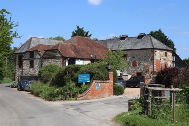
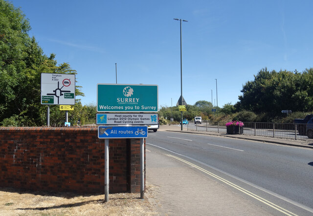
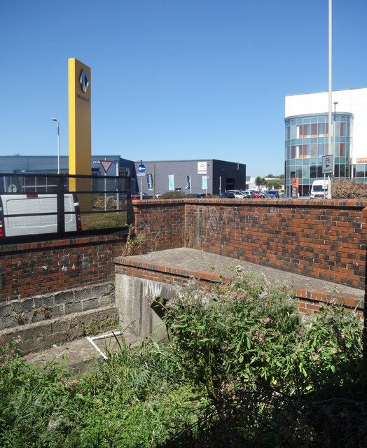
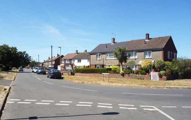
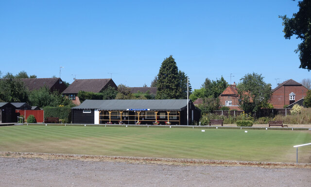
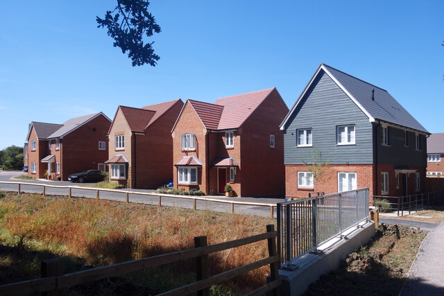
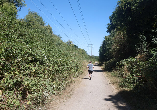
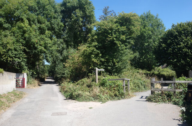
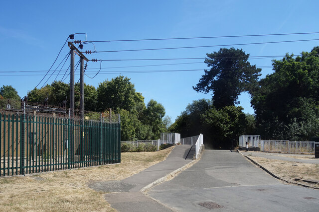
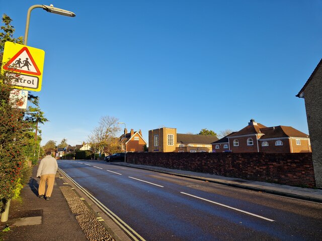
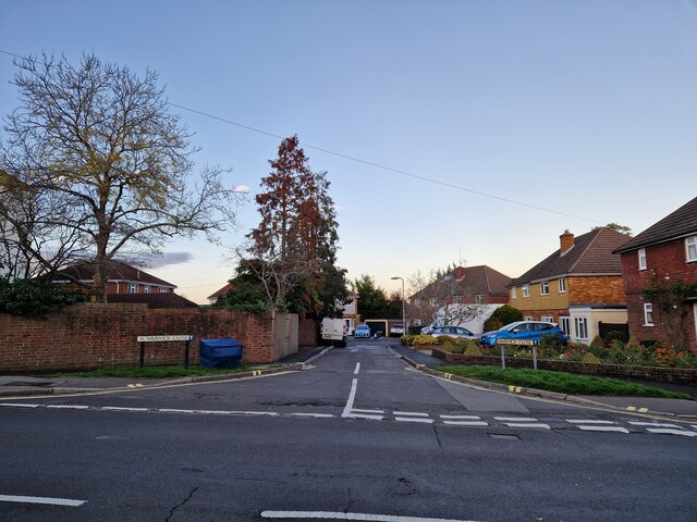
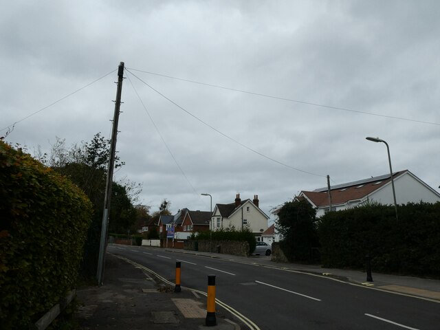
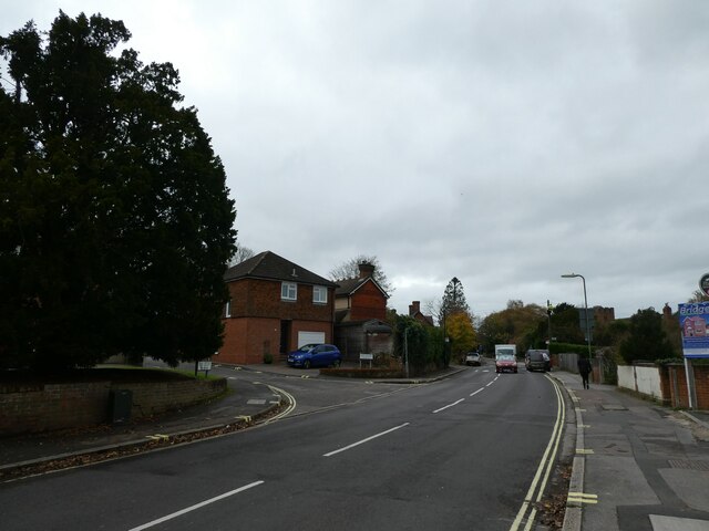
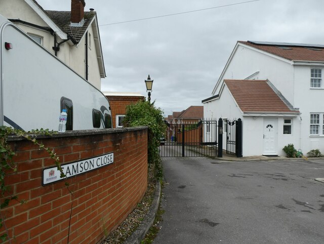
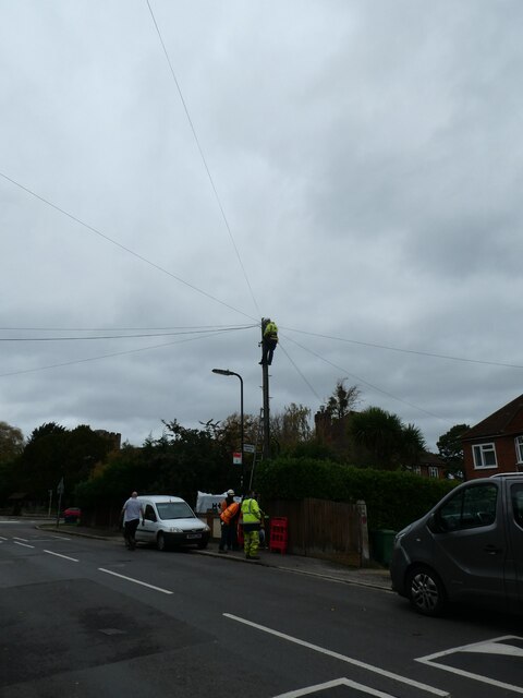
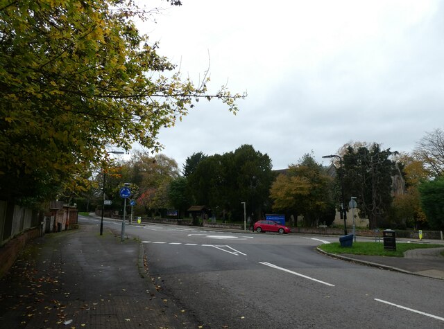
Tongham Images

Images are sourced within 2km of 51.23283/-0.731743 or Grid Reference SU8848. Thanks to Geograph Open Source API. All images are credited.

Oast House -
Oast House
-
Storage Warehouse by the Blackwater Now upstream of the generous input from Aldershot Sewage Works and much depleted as a result, the diminutive River Blackwater goes past here in a concrete trough of weeds after culverting under the busy A323.
Storage Warehouse by the Blackwater
Now upstream of the generous input from Aldershot Sewage Works and much depleted as a result, the diminutive River Blackwater goes past here in a concrete trough of weeds after culverting under the busy A323.
Welcome to Surrey The River Blackwater is used as a county border for its whole length, firstly between Hampshire and Surrey and later between Hampshire and Berkshire. Here is where it goes under the A323 as that road crosses into Surrey county.
Welcome to Surrey
The River Blackwater is used as a county border for its whole length, firstly between Hampshire and Surrey and later between Hampshire and Berkshire. Here is where it goes under the A323 as that road crosses into Surrey county.
Weeds & Warehouses, River Blackwater The Blackwater is not at its best through here as it enters a culvert under the A323.
Weeds & Warehouses, River Blackwater
The Blackwater is not at its best through here as it enters a culvert under the A323.
Tongham Road, Aldershot
The Cricketers, Oxenden Road One of the Greene King Brewery's estate.
The Cricketers, Oxenden Road
One of the Greene King Brewery's estate.
Bowling Green, Tongham
More New Housing Land north of the old railway path is all being built on.
More New Housing
Land north of the old railway path is all being built on.
Jogging along the old railway path Along a bridleway on an old railway line.
Jogging along the old railway path
Along a bridleway on an old railway line.
Footpath Junction, Spoil Lane A more than usual number of footpaths and bridleways are shown on the map just here.
Some, like Spoil Lane, are residential lanes already, one is along an old railway, while others will vanish as footpaths when they are incorporated into urban streets as more houses are built.
Footpath Junction, Spoil Lane
A more than usual number of footpaths and bridleways are shown on the map just here. Some, like Spoil Lane, are residential lanes already, one is along an old railway, while others will vanish as footpaths when they are incorporated into urban streets as more houses are built.
Bridge over the Blackwater This leads to an underpass beneath the A331 and is blocked by bollards at the far end. I would guess it's for emergency vehicles only.
A small electricity sub station is on the left.
Bridge over the Blackwater
This leads to an underpass beneath the A331 and is blocked by bollards at the far end. I would guess it's for emergency vehicles only. A small electricity sub station is on the left.
Looking north-west in Church Lane East The pedestrian is just passing St Michael's Junior School, with Park Church just ahead of him on the opposite side of the road
Looking north-west in Church Lane East
The pedestrian is just passing St Michael's Junior School, with Park Church just ahead of him on the opposite side of the road
Looking from Church Lane East into Warwick Close
Looking north-west along Church Lane East
Approaching the junction of Church Lane East and Lee Court
Looking from Church Lane East into Samson Close
Mending a telegraph pole in Church Lane East The very first lines that were hung from poles were telegraph wires. Places was connected to the network with just one or two lines –  very few poles were needed. With the invention of the telephone, this all changed. At first, rival companies did not want to share their poles with one another. Inevitably, legislation was passed to compel it.

Most telegraph poles are about 30ft above the ground with 6 feet planted in the ground.They are tested by a B.T. Openreach  operative after they have been “planted” for twelve years and then at ten yearly intervals. Telegraph poles are still plentiful in the UK and Ireland although they have been completely eradicated in Holland. 

They also have their own web site <span class="nowrap"><a title="https://www.telegraphpoleappreciationsociety.org/" rel="nofollow ugc noopener" href="https://www.telegraphpoleappreciationsociety.org/">Link</a><img style="margin-left:2px;" alt="External link" title="External link - shift click to open in new window" src="https://s1.geograph.org.uk/img/external.png" width="10" height="10"/></span>
Mending a telegraph pole in Church Lane East
The very first lines that were hung from poles were telegraph wires. Places was connected to the network with just one or two lines – very few poles were needed. With the invention of the telephone, this all changed. At first, rival companies did not want to share their poles with one another. Inevitably, legislation was passed to compel it. Most telegraph poles are about 30ft above the ground with 6 feet planted in the ground.They are tested by a B.T. Openreach operative after they have been “planted” for twelve years and then at ten yearly intervals. Telegraph poles are still plentiful in the UK and Ireland although they have been completely eradicated in Holland. They also have their own web site LinkExternal link
Approaching a roundabout in Church Lane East  You know that word association game: black-white; Morecambe-Wise; Milton Keynes-roundabouts. A friend of mine supervises Geography dissertations for the University of Portsmouth. He always gives students two actual titles he has rejected: 'Rivers' (too broad) and 'The Roundabouts of Basingstoke' (too narrow)) But where did the idea for an "island", around which traffic could flow, come from? It was a Frenchman. In 1791 the architect and engineer Pierre L'Enfant proposed a number of circular intersections in Washington, D.C.  Fast forward to 1905 and we have New York City's Columbus Circle, widely considered the country's first circular intersection designed for the automotive era.  Known as rotaries, they certainly sped up traffic- but also the number of collisions . Then in 1966 the UK came up with a marvellous idea: this required vehicles entering a circular intersection to yield to those already on it. As to the two countries that started them, France has the highest roundabout ratio with one roundabout for every 45 intersections and the US one roundabout for every 1,118 intersections.
Approaching a roundabout in Church Lane East
You know that word association game: black-white; Morecambe-Wise; Milton Keynes-roundabouts. A friend of mine supervises Geography dissertations for the University of Portsmouth. He always gives students two actual titles he has rejected: 'Rivers' (too broad) and 'The Roundabouts of Basingstoke' (too narrow)) But where did the idea for an "island", around which traffic could flow, come from? It was a Frenchman. In 1791 the architect and engineer Pierre L'Enfant proposed a number of circular intersections in Washington, D.C. Fast forward to 1905 and we have New York City's Columbus Circle, widely considered the country's first circular intersection designed for the automotive era. Known as rotaries, they certainly sped up traffic- but also the number of collisions . Then in 1966 the UK came up with a marvellous idea: this required vehicles entering a circular intersection to yield to those already on it. As to the two countries that started them, France has the highest roundabout ratio with one roundabout for every 45 intersections and the US one roundabout for every 1,118 intersections.
Show me another place!

Tongham is located at Grid Ref: SU8848 (Lat: 51.23283, Lng: -0.731743)

Administrative County: Surrey

District: Guildford

Police Authority: Surrey

What 3 Words

///dart.twin.first. Near Aldershot, Hampshire

Nearby Locations

Tongham

Related Wikis

Tongham railway station

Tongham railway station was a railway station serving the village of Tongham, Guildford, Surrey in England which opened in 1856 and closed in 1937. �...

Tongham F.C.

Tongham Football Club is a football club based in Tongham, near Farnham, Surrey, England. They play at the Recreation Ground, Poyle Road. Team Age Groups...

Tongham

Tongham is a village northeast of the town of Farnham in Surrey, England. The village's buildings occupy most of the west of the civil parish, adjoining...

Alderwood School

Alderwood School is a coeducational all-through school located over three sites in Aldershot in Hampshire, England. It was formed in September 2017 from...

Nearby Amenities

Located within 500m of 51.23283,-0.731743
Crossing
Crossing: uncontrolled
Crossing Island: yes
Kerb: lowered
Tactile Paving: yes
Traffic Calming: table
Lat/Long: 51.2341616/-0.7315502
Tongham
Place: village
Lat/Long: 51.234842/-0.7312608
Crossing
Crossing: unmarked
Crossing Island: no
Crossing Markings: no
Kerb: lowered
Tactile Paving: no
Lat/Long: 51.2359463/-0.7313753
Mini Roundabout
Direction: clockwise
Lat/Long: 51.2327384/-0.7318189
Pub
White Hart
Addr City: Tongham
Addr Country: GB
Addr Housenumber: 76
Addr Postcode: GU10 1DH
Addr Street: The Street
Fhrs Authority: Guildford
Fhrs Id: 649322
Fhrs Local Authority Id: 1518
Source: photo
Lat/Long: 51.2325933/-0.732119
Grange Court
Building: yes
Lat/Long: 51.2311124/-0.7347922
Barrier: kissing_gate
Horse: no
Vehicle: no
Lat/Long: 51.236949/-0.7346365
Barrier: kissing_gate
Horse: no
Vehicle: no
Lat/Long: 51.2326673/-0.7344949
Parking
Access: private
Parking: surface
Lat/Long: 51.2298984/-0.7325906
Barrier: kissing_gate
Horse: no
Vehicle: no
Lat/Long: 51.2356798/-0.7345001
Fast Food
The Orient
Addr City: Tongham
Addr Country: GB
Addr Housenumber: 78
Addr Postcode: GU10 1AA
Addr Street: The Street
Cuisine: fish_and_chips
Fhrs Authority: Guildford
Fhrs Id: 1230569
Fhrs Local Authority Id: 11653
Opening Hours: Tu-Sa 12:00-13:45,17:00-21:00; Su,Mo off
Lat/Long: 51.2330376/-0.731837
Good Taste Bakery
Addr City: Tongham
Addr Country: GB
Addr Housenumber: 80
Addr Postcode: GU10 1AA
Addr Street: The Street
Fhrs Authority: Guildford
Fhrs Id: 649777
Fhrs Local Authority Id: 4321
Opening Hours: Mo-Fr 07:00-14:00; Sa 08:00-14:00; Su off
Shop: bakery
Lat/Long: 51.2330926/-0.7318307
Post Office
Tongham Post Office
Addr City: Tongham
Addr Housenumber: 88-90
Addr Postcode: GU10 1AA
Addr Street: The Street
Brand: Post Office
Brand Wikidata: Q1783168
Brand Wikipedia: en:Post Office Ltd
Contact Website: https://www.postoffice.co.uk/branch-finder/1439006/tongham
Opening Hours: Mo-Fr 10:00-17:00; Sa 10:00-13:00
Ref Pol Id: 130098
Lat/Long: 51.2333412/-0.7318009
The Best Turkish Barbers
Addr City: Tongham
Addr Housenumber: 84
Addr Postcode: GU10 1AA
Addr Street: The Street
Male: yes
Opening Hours: Mo,We-Fr 09:00-18:30; Tu off; Sa 09:00-18:00; Su 10:00-16:00
Payment Cash: yes
Payment Credit Cards: no
Payment Debit Cards: no
Phone: +44 7738738147
Shop: hairdresser
Website: https://thebestturkishbarbers.co.uk/
Lat/Long: 51.233203/-0.7318195
Langleys Horological Workshop
Addr City: Tongham
Addr Housenumber: 86
Addr Postcode: GU10 1AA
Addr Street: The Street
Craft: watchmaker
Phone: +44 1252 403599
Website: https://www.facebook.com/HorologicalWorkshop/?locale=en_GB
Lat/Long: 51.2332566/-0.7318174
Archway Interiors
Shop: interior_decoration
Lat/Long: 51.2333839/-0.7318398
Parking
Access: customers
Lat/Long: 51.2334838/-0.7320699
Access: yes
Leisure: playground
Note: 2020-05-07: Looks Abandoned - there is a swing frame, but no swings, for example.
Surface: grass
Lat/Long: 51.2371085/-0.7335395
Community Centre
Tongham Community Centre
Addr City: Tongham
Addr Country: GB
Addr Postcode: GU10 1DU
Addr Street: Poyle Road
Fhrs Authority: Guildford
Fhrs Id: 650012
Fhrs Local Authority Id: 5135
Phone: +44 7825 708288
Website: https://www.tonghamcommunitycentre.co.uk/gallery/8-tongham-community-centre-surrey.html
Wheelchair: yes
Wheelchair Description: Disabled access via ramp. Disabled toilet with baby changing facilities (not yet checked for Wheelmap standards.)
Lat/Long: 51.2330231/-0.7278929
Post Box
Brand: Royal Mail
Brand Wikidata: Q638098
Brand Wikipedia: en:Royal Mail
Collection Times: Mo-Fr 09:00; Sa 07:00
Drive Through: no
Operator: Royal Mail
Operator Wikidata: Q638098
Post Box Type: wall
Ref: GU10 190D
Royal Cypher: EIIR
Royal Cypher Wikidata: Q33102113
Lat/Long: 51.2358919/-0.7268946
Hog's Back Brewery
Addr Postcode: GU10 1DE
Addr Street: The Street
Craft: brewery
Note: Tours are by appointment only.
Opening Hours: We-Fr 18:30+; Sa 10:30+; Su 14:30+
Product: beer
Real Ale: yes
Website: https://www.hogsback.co.uk/
Lat/Long: 51.2287169/-0.732073
Bus Stop
The Street
Bench: no
Bin: no
Bus: yes
Lit: yes
Naptan AtcoCode: 40004407021A
Naptan Bearing: S
Naptan CommonName: The Street
Naptan Indicator: S-bound
Naptan Landmark: The Street
Naptan NaptanCode: suramjat
Naptan PlusbusZoneRef: ALDRSHT
Naptan Street: The Street
Naptan Verified: no
Public Transport: platform
Shelter: no
Source: naptan_import
Tactile Paving: no
Lat/Long: 51.2344775/-0.7315533
Bus Stop
The Street
Bench: no
Bin: no
Bus: yes
Lit: yes
Naptan AtcoCode: 40004407021B
Naptan Bearing: N
Naptan CommonName: The Street
Naptan Indicator: N-bound
Naptan Landmark: The Street
Naptan NaptanCode: suramjaw
Naptan PlusbusZoneRef: ALDRSHT
Naptan Street: The Street
Naptan Verified: no
Public Transport: platform
Shelter: no
Source: naptan_import
Tactile Paving: no
Lat/Long: 51.2347404/-0.7318451
Bus Stop
The Cricketers
Bench: no
Bin: yes
Bus: yes
Lit: yes
Naptan AtcoCode: 40004407065A
Naptan Bearing: N
Naptan CommonName: The Cricketers
Naptan Indicator: Opp
Naptan Landmark: The Cricketers
Naptan NaptanCode: suramtag
Naptan PlusbusZoneRef: ALDRSHT
Naptan Street: Oxenden Road
Naptan Verified: no
Public Transport: platform
Shelter: yes
Source: naptan_import
Tactile Paving: no
Lat/Long: 51.2366288/-0.7325531
Bus Stop
St Pauls Church
Bench: no
Bin: no
Bus: yes
Lit: yes
Naptan AtcoCode: 40004407066A
Naptan Bearing: NE
Naptan CommonName: St Pauls Church
Naptan Indicator: Opp
Naptan Landmark: St Pauls Church
Naptan NaptanCode: suramtam
Naptan PlusbusZoneRef: ALDRSHT
Naptan Street: Poyle Road
Naptan Verified: no
Public Transport: platform
Shelter: no
Source: naptan_import
Tactile Paving: no
Lat/Long: 51.2330127/-0.7305795
Bus Stop
St Pauls Church
Bench: yes
Bin: no
Bus: yes
Lit: yes
Naptan AtcoCode: 40004407066B
Naptan Bearing: SW
Naptan CommonName: St Pauls Church
Naptan Indicator: Just after
Naptan Landmark: St Pauls Church
Naptan NaptanCode: suramtap
Naptan PlusbusZoneRef: ALDRSHT
Naptan Street: Poyle Road
Naptan Verified: no
Public Transport: platform
Shelter: yes
Source: naptan_import
Tactile Paving: no
Lat/Long: 51.2328366/-0.7310826
Bus Stop
The Cardinals
Bench: yes
Bin: no
Bus: yes
Lit: yes
Naptan AtcoCode: 40004407067A
Naptan Bearing: SW
Naptan CommonName: The Cardinals
Naptan Indicator: Just after
Naptan Landmark: The Cardinals
Naptan NaptanCode: suramtat
Naptan PlusbusZoneRef: ALDRSHT
Naptan Street: Poyle Road
Naptan Verified: no
Public Transport: platform
Shelter: yes
Source: naptan_import
Tactile Paving: no
Lat/Long: 51.2338833/-0.7256112
Bus Stop
The Cardinals
Bench: no
Bin: no
Bus: yes
Lit: yes
Naptan AtcoCode: 40004407067B
Naptan Bearing: NE
Naptan CommonName: The Cardinals
Naptan Indicator: Just Before
Naptan Landmark: The Cardinals
Naptan NaptanCode: suramtaw
Naptan PlusbusZoneRef: ALDRSHT
Naptan Street: Poyle Road
Naptan Verified: no
Public Transport: platform
Shelter: no
Source: naptan_import
Tactile Paving: no
Lat/Long: 51.2339246/-0.725958
Bus Stop
Manor Road
Bench: yes
Bin: yes
Bus: yes
Lit: yes
Naptan AtcoCode: 40004407074A
Naptan Bearing: S
Naptan CommonName: Manor Road
Naptan Indicator: S-bound
Naptan Landmark: Manor Road
Naptan NaptanCode: suramtga
Naptan PlusbusZoneRef: ALDRSHT
Naptan Street: Manor Road
Naptan Verified: no
Public Transport: platform
Shelter: yes
Source: naptan_import
Tactile Paving: no
Lat/Long: 51.2360451/-0.7312465
Bus Stop
Manor Road
Bench: no
Bin: no
Bus: yes
Lit: yes
Naptan AtcoCode: 40004407074B
Naptan Bearing: NE
Naptan CommonName: Manor Road
Naptan Indicator: NE-bound
Naptan Landmark: Manor Road
Naptan NaptanCode: suramtgd
Naptan PlusbusZoneRef: ALDRSHT
Naptan Street: Manor Road
Naptan Verified: no
Public Transport: platform
Shelter: no
Source: naptan_import
Tactile Paving: no
Lat/Long: 51.2363355/-0.7312903
Hog's Back Brewery Shop
Opening Hours: Mo-Tu,Sa 09:00-18:00; We-Fr 09:00-20:30; Su,PH 10:00-16:30
Operator: Hog's Back Brewery
Phone: +44 1252 783000
Shop: alcohol
Website: https://www.hogsback.co.uk/about-us/brewery-shop/
Lat/Long: 51.2286195/-0.7317757
Barrier: motorcycle_barrier
Lat/Long: 51.2367619/-0.7335634
Barrier: horse_stile
Bicycle: yes
Lat/Long: 51.2367398/-0.7335873
Crossing
Button Operated: yes
Crossing: traffic_signals
Crossing Island: no
Crossing Ref: pelican
Kerb: lowered
Tactile Paving: yes
Traffic Calming: table
Traffic Signals Sound: yes
Traffic Signals Vibration: yes
Lat/Long: 51.2330846/-0.731698
Crossing
Crossing: unmarked
Crossing Island: no
Crossing Markings: no
Kerb: lowered
Tactile Paving: yes
Lat/Long: 51.2328694/-0.7315136
Crossing
Crossing: uncontrolled
Crossing Island: yes
Kerb: lowered
Tactile Paving: yes
Lat/Long: 51.2356363/-0.7317385
Crossing
Crossing: unmarked
Crossing Island: no
Crossing Markings: no
Kerb: lowered
Tactile Paving: no
Lat/Long: 51.2359227/-0.7312238
Crossing
Crossing: uncontrolled
Crossing Island: no
Kerb: lowered
Sloped Curb: yes
Source: Bing
Tactile Paving: yes
Traffic Calming: choker
Lat/Long: 51.2299306/-0.7322247
Crossing
Crossing: uncontrolled
Crossing Island: yes
Kerb: lowered
Tactile Paving: yes
Lat/Long: 51.2354007/-0.7318456
Traffic Signals
Traffic Signals Direction: backward
Lat/Long: 51.2331247/-0.7316921
Traffic Signals
Traffic Signals Direction: forward
Lat/Long: 51.2330398/-0.7317078
Fire Hydrant
Emergency: fire_hydrant
Fire Hydrant Diameter: 8"
Fire Hydrant Position: lane
Fire Hydrant Type: underground
Lat/Long: 51.2359824/-0.7319851
Barrier: kerb
Kerb: lowered
Tactile Paving: yes
Lat/Long: 51.2358947/-0.7312392
Barrier: kerb
Kerb: lowered
Tactile Paving: yes
Lat/Long: 51.235406/-0.731789
Barrier: kerb
Kerb: lowered
Tactile Paving: yes
Lat/Long: 51.2357167/-0.7317427
Barrier: kerb
Kerb: lowered
Tactile Paving: no
Lat/Long: 51.2359627/-0.7314582
Excek Office Furniture
Addr City: Farnham
Addr Postcode: GU10 1AA
Addr Street: The Street, Tongham
Addr Unit: A4
Is In County: Surrey
Opening Hours: Mo-Fr 09:00-18:00; Sa-Su off
Phone: +44 1252 782727
Shop: furniture
Website: https://www.excek.co.uk
Lat/Long: 51.2328768/-0.7321642
Crossing
Crossing: unmarked
Crossing Island: no
Crossing Markings: no
Kerb: lowered
Tactile Paving: yes
Lat/Long: 51.2331344/-0.7302877
Barrier: bollard
Bollard: fixed
Lat/Long: 51.2356608/-0.7283279
Fast Food
Tongham Curry House
Addr City: Tongham
Addr Country: GB
Addr Housenumber: 82
Addr Postcode: GU10 1AA
Addr Street: The Street
Fhrs Authority: Guildford
Fhrs Id: 993041
Fhrs Local Authority Id: 9760
Opening Hours: Su-Th 17:00-22:30; Fr,Sa 17:00-23:00
Lat/Long: 51.2331454/-0.7318259
Defibrillator
Defibrillator Location: In box on wall of Tongham Community Centre, on sheltered terrace next to changing rooms.
Emergency: defibrillator
Indoor: no
Lat/Long: 51.2329478/-0.7278142
Bench
Backrest: yes
Inscription: 1983 SAM AYLING 2007
Material: wood
Lat/Long: 51.2329738/-0.7278118
Place Of Worship
Tongham Christian Fellowship
Addr City: Tongham
Addr Postcode: GU10 1DU
Addr Street: Poyle Road
Religion: christian
Service Times: Su 10:30
Website: https://yeshuaspeople.com/tonghamcf/
Lat/Long: 51.2336953/-0.7262164
Bench
Backrest: yes
Lat/Long: 51.232731/-0.7279744
Mounting Block
Man Made: mounting_block
Material: concrete
Lat/Long: 51.2367558/-0.7336535
Blind: limited
Fitness Station: yes
Leisure: fitness_station
Sport: fitness
Wheelchair: limited
Lat/Long: 51.2318756/-0.7268831
Bench: yes
Leisure: picnic_table
Lat/Long: 51.2319277/-0.7269585
Bench: yes
Leisure: picnic_table
Lat/Long: 51.2319321/-0.7268459
Artwork Type: sculpture
Material: tree_stump
Tourism: artwork
Lat/Long: 51.2319222/-0.7274498
Bench
Backrest: yes
Lat/Long: 51.2317206/-0.7362844
Bench
Backrest: yes
Lat/Long: 51.2317152/-0.7367525
Covered: no
Leisure: picnic_table
Lat/Long: 51.2322906/-0.7356891
Bench
Backrest: no
Lat/Long: 51.2340704/-0.7351663
Drinking Water: no
Man Made: water_tap
Lat/Long: 51.2326767/-0.730671
Bench
Backrest: tree
Note: circular round tree
Lat/Long: 51.2328553/-0.7308123
Hog's Back Kitchens
Addr Housenumber: 92
Addr Street: The Street
Opening Hours: Mo-Fr 09:00-17:00; Sa,Su off
Phone: +44 1252 781187
Shop: kitchen
Website: http://www.hogsbackkitchens.co.uk
Lat/Long: 51.2334178/-0.7318352
Power: substation
Lat/Long: 51.2336118/-0.7287348
Bench
Backrest: yes
Material: plastic
Lat/Long: 51.2327715/-0.731698
Bench
Backrest: yes
Material: plastic
Lat/Long: 51.2340658/-0.7316533
Bench
Backrest: yes
Colour: brown
Material: plastic
Lat/Long: 51.2341817/-0.7316102
Bench
Backrest: yes
Material: plastic
Lat/Long: 51.2325318/-0.7316975
Bench
Backrest: yes
Colour: brown
Material: plastic
Lat/Long: 51.2328976/-0.7316806
Historic: memorial
Inscription: PRESENTED BY H.M.CHESTER.LLD OF PYLE PARK, IN THANKFUL REMEMBRANCE OF THE MEN OF THE TONGHAM DISTRICT WHO GAVE THEIR LIVES IN THE GREAT WAR 1914-1919 THAT WE MIGHT LIVE IN SAFETY
Material: granite
Memorial: war_memorial
Lat/Long: 51.232942/-0.7304184
Surrey Hills Butchers
Addr City: Tongham
Addr Postcode: GU10 1DE
Addr Street: The Street
Opening Hours: Tu-Fr 08:30-17:00; Sa 08:30-15:00
Operator: Surrey Hills Butchers
Payment Cash: yes
Payment Credit Cards: yes
Payment Debit Cards: yes
Phone: +44 1372 844890
Shop: butcher
Website: https://surreyhillsbutchers.com
Lat/Long: 51.2283868/-0.7321465
Material: wood
Power: pole
Lat/Long: 51.2343771/-0.7382968
Material: wood
Power: pole
Lat/Long: 51.2343586/-0.7363495
Material: wood
Power: pole
Lat/Long: 51.2336214/-0.7363227
Material: wood
Power: pole
Lat/Long: 51.23169/-0.7362771
Material: wood
Power: pole
Lat/Long: 51.2308535/-0.7362691
Material: wood
Power: pole
Lat/Long: 51.2300423/-0.7362315
Direction: 145
Generator Method: photovoltaic
Generator Output Electricity: yes
Generator Solar Modules: 10
Generator Source: solar
Generator Type: solar_photovoltaic_panel
Power: generator
Lat/Long: 51.2354889/-0.7280437
Direction: 175
Generator Method: photovoltaic
Generator Output Electricity: yes
Generator Solar Modules: 10
Generator Source: solar
Generator Type: solar_photovoltaic_panel
Location: roof
Power: generator
Lat/Long: 51.2357896/-0.7322606
Waste Basket
Colour: green
Material: plastic
Lat/Long: 51.2358092/-0.7313633
Direction: 160
Generator Method: photovoltaic
Generator Output Electricity: yes
Generator Solar Modules: 12
Generator Source: solar
Generator Type: solar_photovoltaic_panel
Location: roof
Power: generator
Lat/Long: 51.2345379/-0.7266272
Direction: 85
Generator Method: photovoltaic
Generator Output Electricity: yes
Generator Solar Modules: 6
Generator Source: solar
Generator Type: solar_photovoltaic_panel
Location: roof
Power: generator
Lat/Long: 51.2371103/-0.7315648
Direction: 90
Generator Method: photovoltaic
Generator Output Electricity: yes
Generator Solar Modules: 8
Generator Source: solar
Generator Type: solar_photovoltaic_panel
Location: roof
Power: generator
Lat/Long: 51.2365796/-0.7338561
Direction: 180
Generator Method: photovoltaic
Generator Output Electricity: yes
Generator Solar Modules: 8
Generator Source: solar
Generator Type: solar_photovoltaic_panel
Location: roof
Power: generator
Lat/Long: 51.2365113/-0.7344248
Direction: 90
Generator Method: photovoltaic
Generator Output Electricity: yes
Generator Solar Modules: 8
Generator Source: solar
Generator Type: solar_photovoltaic_panel
Location: roof
Power: generator
Lat/Long: 51.2359118/-0.7328481
Direction: 190
Generator Method: photovoltaic
Generator Output Electricity: yes
Generator Solar Modules: 12
Generator Source: solar
Generator Type: solar_photovoltaic_panel
Location: roof
Power: generator
Lat/Long: 51.2356234/-0.7294102
Direction: 85
Generator Method: photovoltaic
Generator Output Electricity: yes
Generator Solar Modules: 3
Generator Source: solar
Generator Type: solar_photovoltaic_panel
Location: roof
Power: generator
Lat/Long: 51.2339497/-0.7289498
Direction: 85
Generator Method: photovoltaic
Generator Output Electricity: yes
Generator Solar Modules: 3
Generator Source: solar
Generator Type: solar_photovoltaic_panel
Location: roof
Power: generator
Lat/Long: 51.2339973/-0.7289526
Direction: 85
Generator Method: photovoltaic
Generator Output Electricity: yes
Generator Solar Modules: 3
Generator Source: solar
Generator Type: solar_photovoltaic_panel
Location: roof
Power: generator
Lat/Long: 51.2340445/-0.728966
Barrier: bollard
Bollard: removable
Lat/Long: 51.2353555/-0.7343945
Direction: 260
Generator Method: photovoltaic
Generator Output Electricity: yes
Generator Solar Modules: 16
Generator Source: solar
Generator Type: solar_photovoltaic_panel
Location: roof
Power: generator
Lat/Long: 51.2365581/-0.7321381
Defibrillator
Access: yes
Booth: K6
Covered: booth
Defibrillator Location: inside old red phone box opposite White Hart pub in Tongham
Disused Amenity: telephone
Emergency: defibrillator
Indoor: no
Man Made: telephone_box
Lat/Long: 51.232627/-0.7317448
Fire Hydrant
Emergency: fire_hydrant
Fire Hydrant Diameter: 100
Fire Hydrant Position: sidewalk
Fire Hydrant Type: underground
Lat/Long: 51.2339179/-0.733581
Waste Basket
Lat/Long: 51.2366415/-0.7325375
Board Type: notice
Information: board
Tourism: information
Lat/Long: 51.2366462/-0.7325487
Waste Basket
Lat/Long: 51.2342186/-0.7316381
Morganic Metal Solutions Ltd
Addr City: Tongham
Addr Postcode: GU10 1DE
Addr Street: The Street
Man Made: works
Phone: +44 1252 783900
Product: metal
Website: https://www.morganicmetalsolutions.com/
Lat/Long: 51.2284473/-0.7315559
Bench
Backrest: yes
Lat/Long: 51.2351054/-0.7317485
Waste Basket
Lat/Long: 51.2350786/-0.7317485
Grit Bin
Seasonal: no
Lat/Long: 51.2358741/-0.7289792
Crossing
Crossing Island: no
Crossing Markings: no
Crossing Signals: no
Tactile Paving: no
Lat/Long: 51.2346337/-0.7283985
Nisa Local
Addr City: Tongham
Addr Housenumber: 88-90
Addr Postcode: GU10 1AA
Addr Street: The Street
Brand: Nisa Local
Brand Wikidata: Q16999069
Opening Hours: Mo-Su 07:00-21:00
Payment Cash: yes
Payment Credit Cards: yes
Payment Debit Cards: yes
Shop: convenience
Lat/Long: 51.2333128/-0.7318093
Waste Basket
Lat/Long: 51.2329673/-0.7316252
Man Made: street_cabinet
Lat/Long: 51.2352655/-0.731934
Waste Basket
Waste: dog_excrement
Lat/Long: 51.2341208/-0.7319006
Man Made: street_cabinet
Lat/Long: 51.2332525/-0.7304068
Man Made: street_cabinet
Lat/Long: 51.2357423/-0.7319831
Waste Basket
Lat/Long: 51.2330285/-0.7301796
Recycling
Recycling Beverage Cartons: no
Recycling Cans: yes
Recycling Paper: yes
Recycling Plastic: no
Recycling Plastic Bottles: yes
Recycling Plastic Packaging: no
Recycling Type: container
Lat/Long: 51.2329524/-0.7316274
Waste Basket
Lat/Long: 51.2335606/-0.7293817
Waste Basket
Lat/Long: 51.2311776/-0.7344046
The data included in this document is from www.openstreetmap.org. The data is made available under ODbL.

Have you been to Tongham?

Leave your review of Tongham below (or comments, questions and feedback).