Boskenna
Settlement in Cornwall
England
Boskenna
The requested URL returned error: 429 Too Many Requests
If you have any feedback on the listing, please let us know in the comments section below.
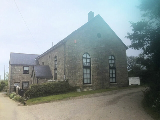
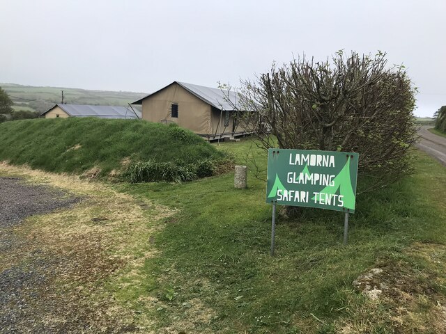
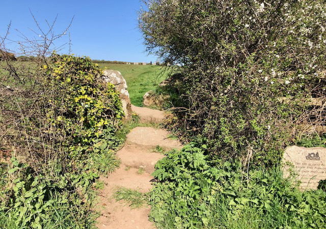
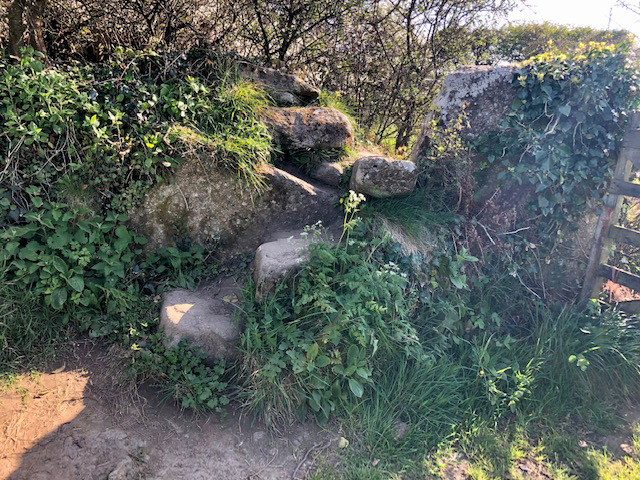
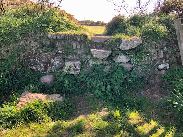
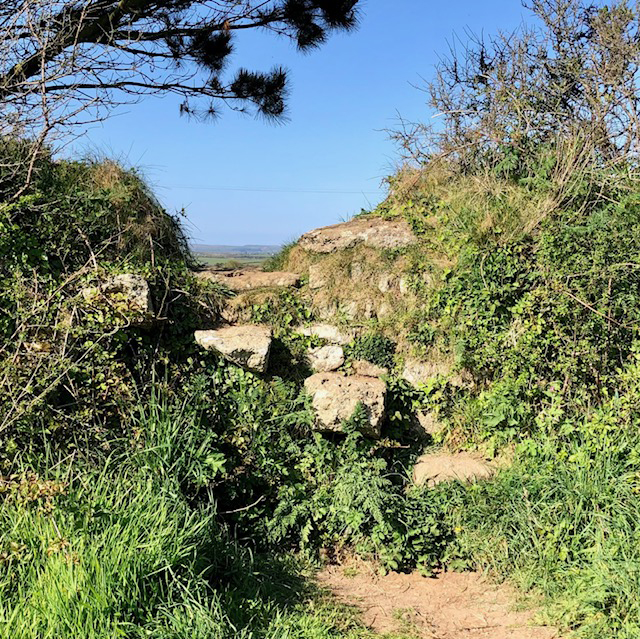
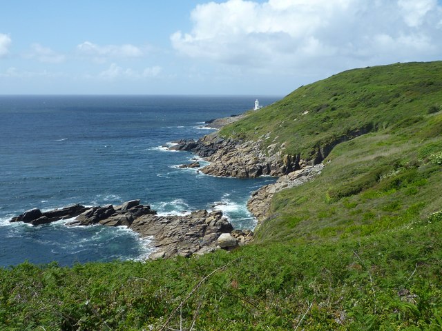
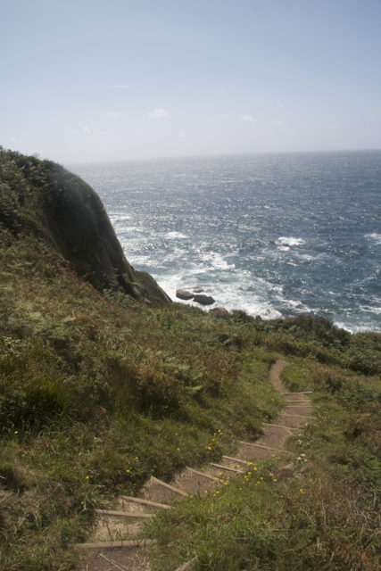
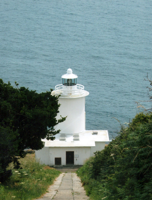
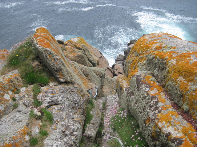
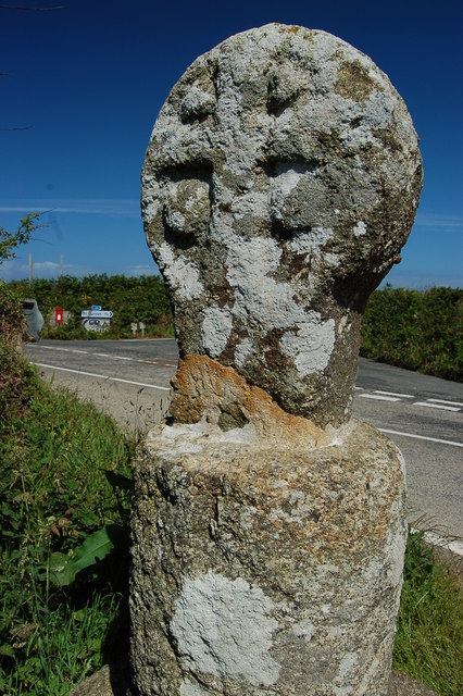
Boskenna Images
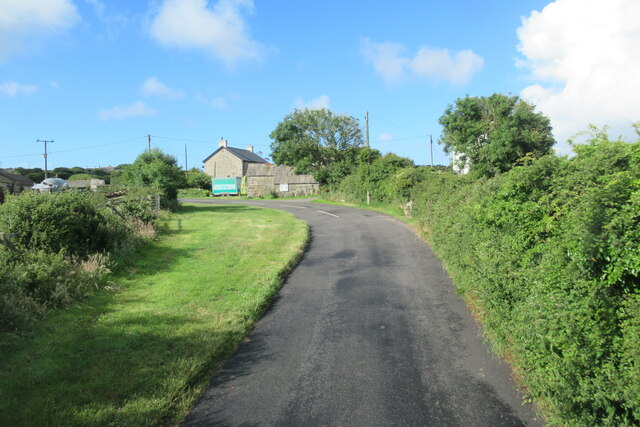
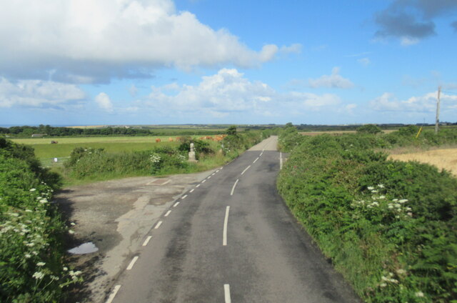
Images are sourced within 2km of 50.056997/-5.600405 or Grid Reference SW4223. Thanks to Geograph Open Source API. All images are credited.


Boskenna is located at Grid Ref: SW4223 (Lat: 50.056997, Lng: -5.600405)
Unitary Authority: Cornwall
Police Authority: Devon and Cornwall
What 3 Words
///drooling.when.loss. Near St Buryan, Cornwall
Nearby Locations
Related Wikis
Boskenna
Boskenna is an early medieval settlement and large 17th-century manor house (formerly with associated farms and cottages) in the civil parish of St Buryan...

St Loy's Cove
St Loy's Cove is a small wooded valley and beach in the civil parish of St Buryan in Cornwall, England, UK. It is located two miles to the south of St...
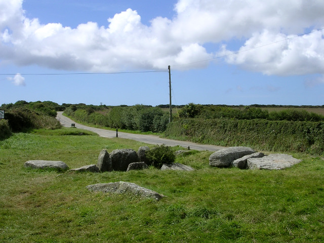
Tregiffian Burial Chamber
The Tregiffian Burial Chamber (Cornish: Hirvedh Treguhyon) is a Neolithic or early Bronze Age chambered tomb. It is near Lamorna in west Cornwall, United...

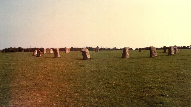
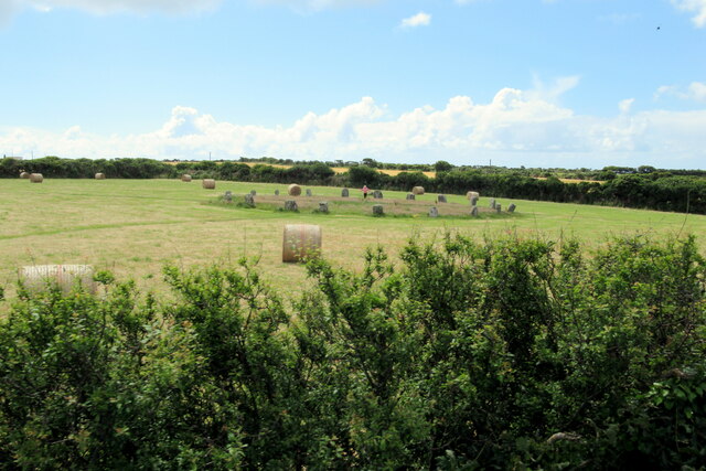
The Merry Maidens
The Merry Maidens (grid reference SW432245), also known as Dawn's Men (a likely corruption of the Cornish Dons Men "Stone Dance") is a late neolithic...
Nearby Amenities
Located within 500m of 50.056997,-5.600405Have you been to Boskenna?
Leave your review of Boskenna below (or comments, questions and feedback).