Tillydrone
Settlement in Aberdeenshire
Scotland
Tillydrone
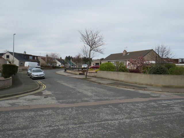
Tillydrone is a small residential area located in the city of Aberdeen, in Aberdeenshire, Scotland. It is situated approximately two miles north of the city center and is bordered by the communities of Seaton, Woodside, and Old Aberdeen.
Historically, Tillydrone was known as a thriving industrial area, heavily relying on the nearby granite quarrying and fishing industries. However, over the years, the area has seen significant changes in its landscape and economy. Today, Tillydrone is primarily a residential neighborhood, characterized by a mix of housing types, including traditional granite tenements and modern housing developments.
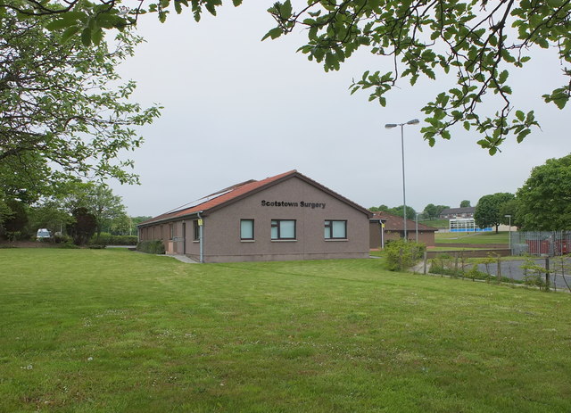
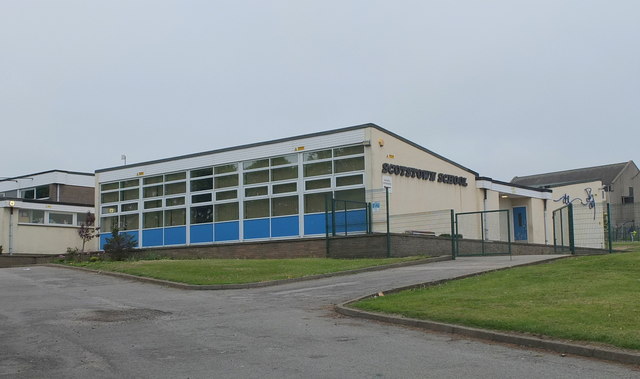
The community is well-served by local amenities, including schools, shops, and recreational facilities. Tillydrone also benefits from its close proximity to the University of Aberdeen and the Aberdeen Royal Infirmary, both of which are a short distance away.
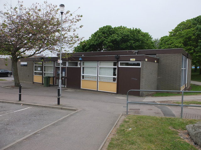
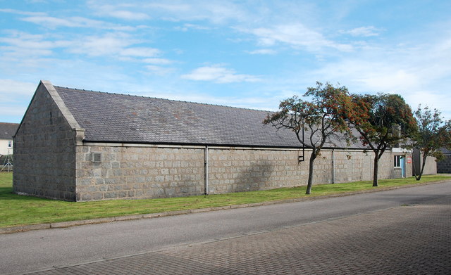
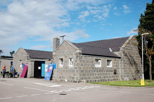
Despite its urban setting, Tillydrone retains a strong sense of community spirit. The area is home to various community organizations and initiatives aimed at improving the local environment, promoting social inclusion, and supporting residents. The Tillydrone Community Campus, for instance, serves as a hub for community activities and services, offering facilities such as a library, café, and sports facilities.
Overall, Tillydrone is a vibrant and evolving neighborhood that combines its industrial heritage with modern residential living, providing its residents with a range of amenities and a strong sense of community.
If you have any feedback on the listing, please let us know in the comments section below.
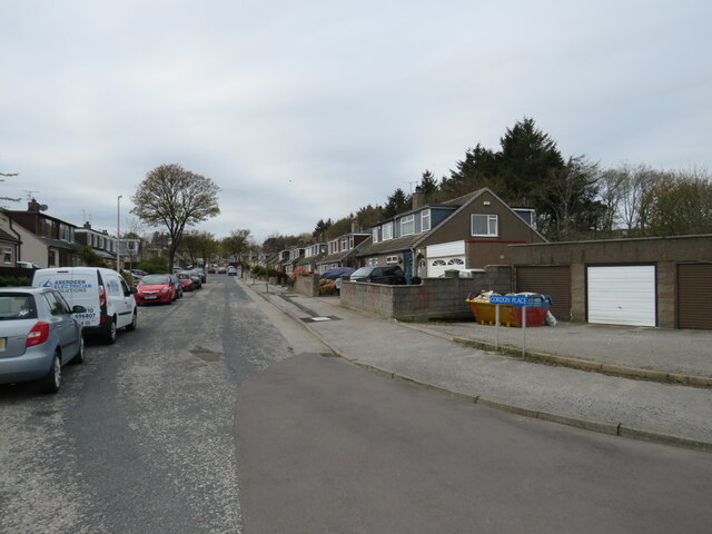
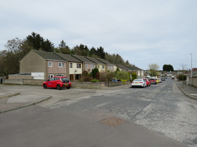
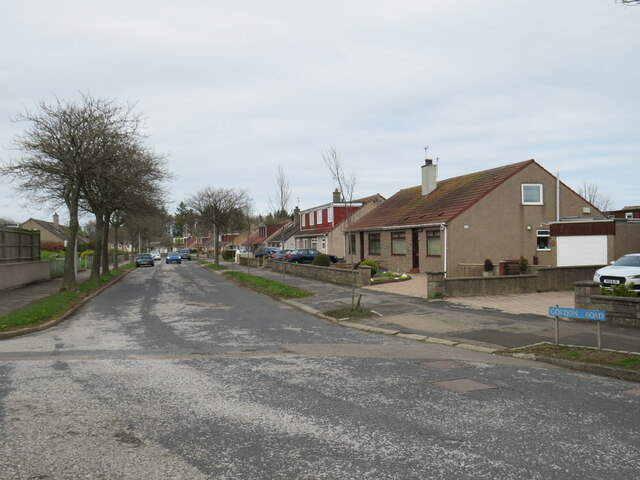
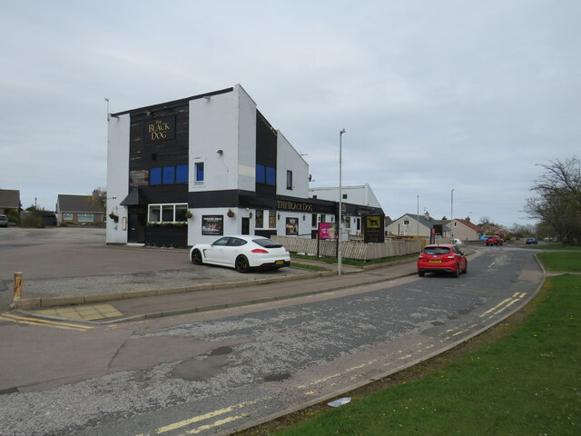
Tillydrone Images
Images are sourced within 2km of 57.169773/-2.1078663 or Grid Reference NJ9308. Thanks to Geograph Open Source API. All images are credited.


Tillydrone is located at Grid Ref: NJ9308 (Lat: 57.169773, Lng: -2.1078663)
Unitary Authority: City of Aberdeen
Police Authority: North East
What 3 Words
///dull.sock.skirt. Near Aberdeen
Nearby Locations
Related Wikis
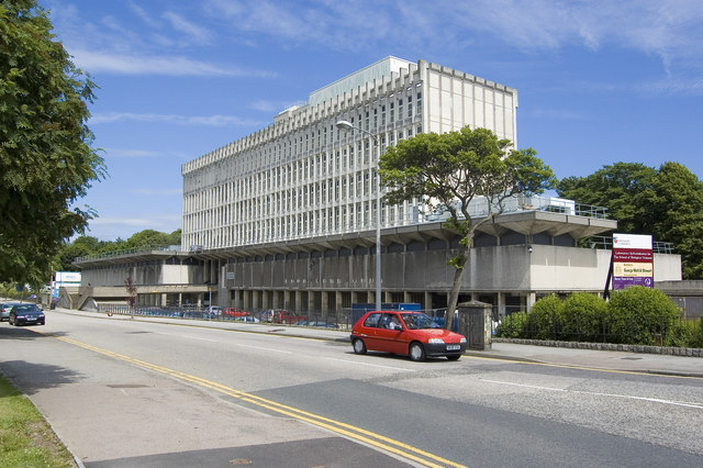
Zoology Building
The Zoology Building is a facility owned by the University of Aberdeen. It is situated in Tillydrone. == History == During construction, the building collapsed...

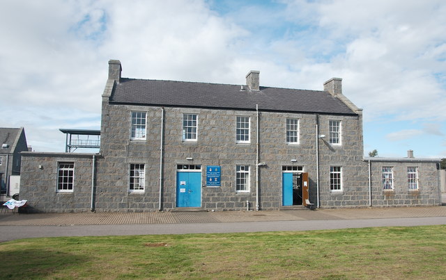
Bishop Dunbar's Hospital
Bishop Dunbar's Hospital was founded in 1531 by Bishop Gavin Dunbar, the Elder. The hospital was endowed by a mortification just before his death. Dunbar...
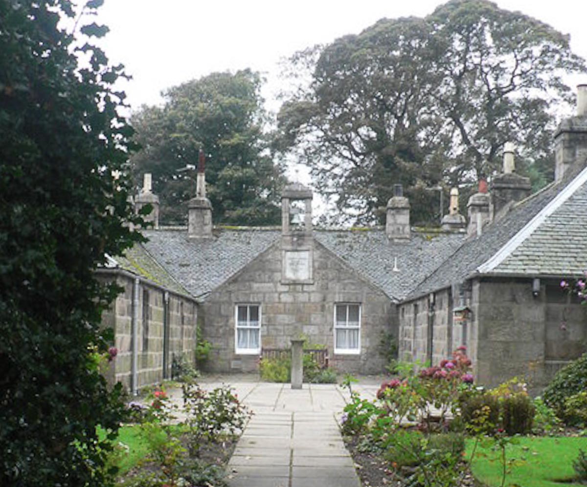
Mitchell's Hospital Old Aberdeen
Mitchell's Hospital, Old Aberdeen, in Old Aberdeen, Scotland, was founded by the philanthropist David Mitchell in 1801 as follows: " .. from a regard...

St Machar's Cathedral
St Machar's Cathedral is a Church of Scotland church in Aberdeen, Scotland, located to the north of the city centre, in the former burgh of Old Aberdeen...
Nearby Amenities
Located within 500m of 57.169773,-2.1078663Have you been to Tillydrone?
Leave your review of Tillydrone below (or comments, questions and feedback).