Borwick Rails

Settlement in Cumberland Copeland

England

Borwick Rails

Borwick Rails looking towards Millom
Borwick Rails looking towards Millom Credit: Colin Pyle

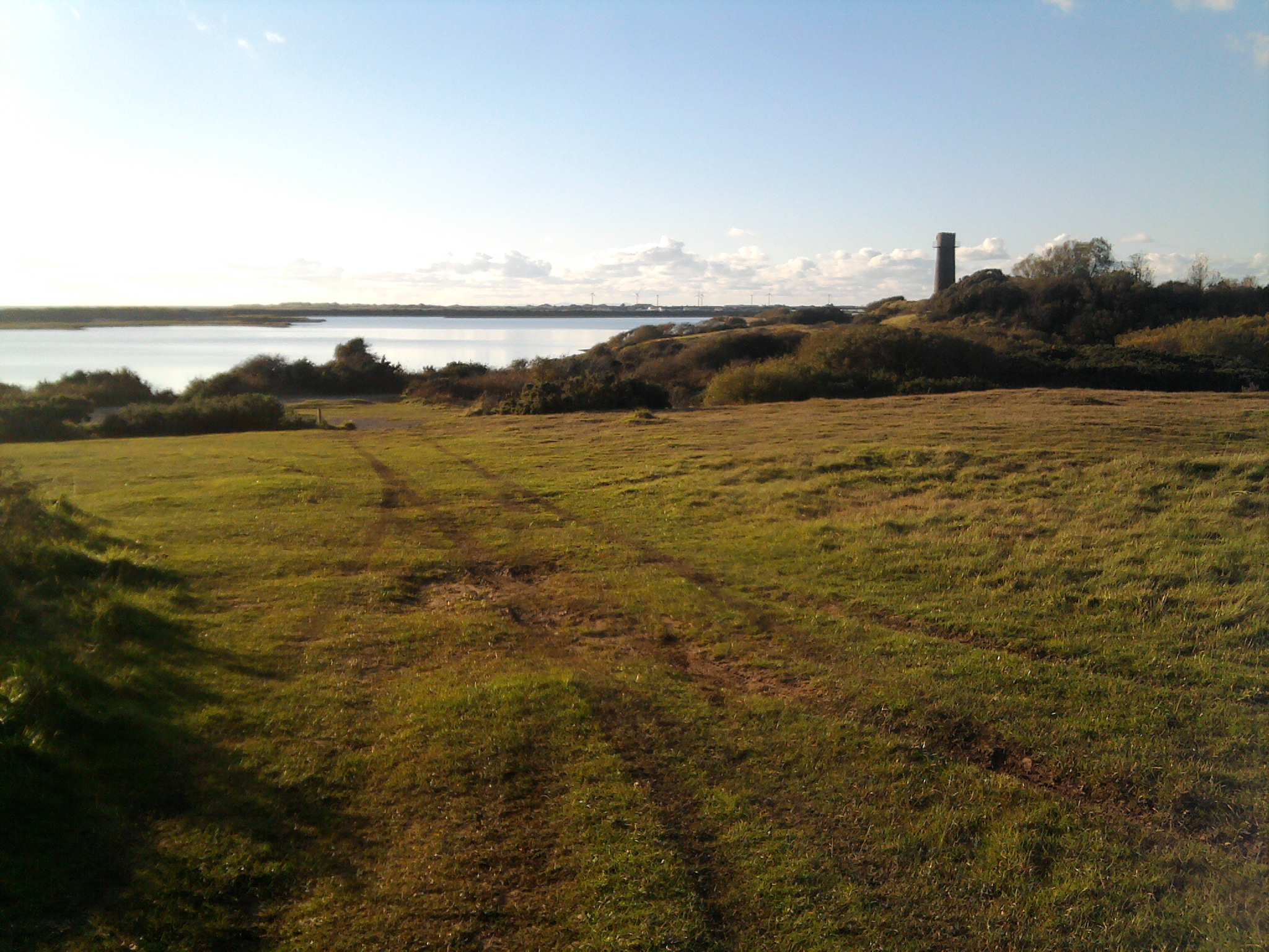
Borwick Rails is a small hamlet located in the county of Cumberland, England. Situated in the picturesque Lake District National Park, it is known for its breathtaking natural beauty and tranquil ambiance. This charming village is nestled amidst rolling hills, lush green meadows, and dense forests, making it a popular destination for nature lovers and outdoor enthusiasts.

The history of Borwick Rails dates back several centuries. Originally, it served as a stop on the old railway line that connected the nearby towns of Kendal and Lancaster. Today, the old railway tracks have been converted into a scenic walking and cycling path, known as the Borwick Rails Trail. This trail offers visitors the opportunity to explore the surrounding countryside, providing panoramic views of the stunning landscapes.

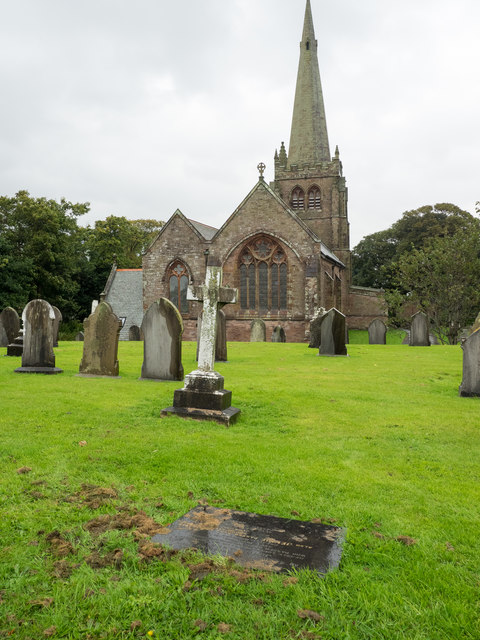
Despite its small size, Borwick Rails boasts a close-knit community that takes great pride in preserving the village's historic charm. Traditional stone cottages and quaint houses line the narrow streets, creating a charming and idyllic atmosphere. The village is also home to a small, picturesque church, which is a focal point for community events and gatherings.

Visitors to Borwick Rails can enjoy a range of outdoor activities, including hiking, cycling, and fishing in the nearby lakes and rivers. The village is also conveniently located within easy reach of popular tourist attractions in the Lake District, such as Lake Windermere and Scafell Pike, the highest mountain in England.

In conclusion, Borwick Rails offers a peaceful and scenic retreat for those seeking a break from the hustle and bustle of city life. With its stunning natural surroundings and rich history, it is a hidden gem in the beautiful county of Cumberland.

If you have any feedback on the listing, please let us know in the comments section below.

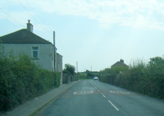
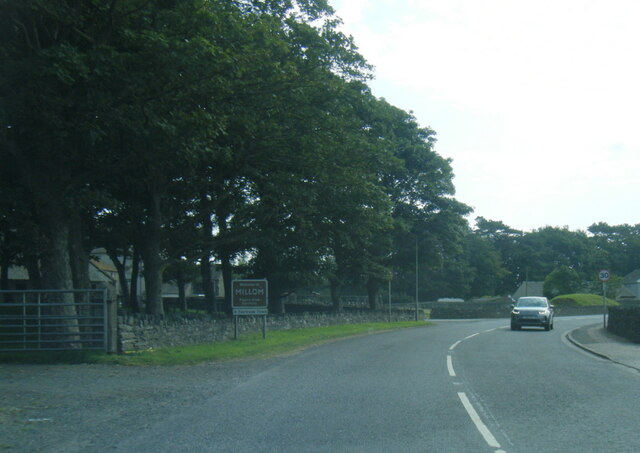
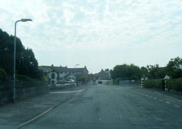
Borwick Rails Images

Images are sourced within 2km of 54.200168/-3.2584929 or Grid Reference SD1879. Thanks to Geograph Open Source API. All images are credited.

Borwick Rails looking towards Millom
St Georges Road, Millom
Haverigg Road near Moor House
Haverigg Beach
Haverigg Beach
Hodbarrow Lighthouse on the Outer Barrier Established in 1905, Hodbarrow (Haverigg) Lighthouse sits on the Outer Barrier created for the former Hodbarrow Mines.

This photograph was taken during the Coronavirus (COVID-19) pandemic of 2020/21.
Hodbarrow Lighthouse on the Outer Barrier
Established in 1905, Hodbarrow (Haverigg) Lighthouse sits on the Outer Barrier created for the former Hodbarrow Mines. This photograph was taken during the Coronavirus (COVID-19) pandemic of 2020/21.
Ordnance Survey Cut Mark This OS cut mark can be found on the office building east side of Mainsgate Road. It marks a point 6.514m above mean sea level.
Ordnance Survey Cut Mark
This OS cut mark can be found on the office building east side of Mainsgate Road. It marks a point 6.514m above mean sea level.
The Front housing Pastel rendered housing with sea defences
The Front housing
Pastel rendered housing with sea defences
A5093 Salthouse Road at Millom boundary
Moor Road, Millom
Moor Road, Millom
Duddon Sands from the air Two airfields can be seen in this view - Barrow / Walney Island Airport <span class="nowrap"><a title="https://en.wikipedia.org/wiki/Barrow/Walney_Island_Airport" rel="nofollow ugc noopener" href="https://en.wikipedia.org/wiki/Barrow/Walney_Island_Airport">Link</a><img style="margin-left:2px;" alt="External link" title="External link - shift click to open in new window" src="https://s1.geograph.org.uk/img/external.png" width="10" height="10"/></span> is on the left, the former RAF Millom Museum <span class="nowrap"><a title="https://en.wikipedia.org/wiki/RAF_Millom_Museum" rel="nofollow ugc noopener" href="https://en.wikipedia.org/wiki/RAF_Millom_Museum">Link</a><img style="margin-left:2px;" alt="External link" title="External link - shift click to open in new window" src="https://s1.geograph.org.uk/img/external.png" width="10" height="10"/></span> is on the right (now a windfarm and HM Prison Haverigg).
Duddon Sands from the air
Two airfields can be seen in this view - Barrow / Walney Island Airport LinkExternal link is on the left, the former RAF Millom Museum LinkExternal link is on the right (now a windfarm and HM Prison Haverigg).
Rusting and Waiting Iron pulley wheels on the Hodbarrow New Sea Wall that have remained idle since the completion of the defence in 1905. 
Wind turbines can be seen on the southside of the Duddon Estuary.
Rusting and Waiting
Iron pulley wheels on the Hodbarrow New Sea Wall that have remained idle since the completion of the defence in 1905. Wind turbines can be seen on the southside of the Duddon Estuary.
Old Powder Store The old wind mill on Hodbarrow Point was reused by the iron miners to store their black powder between 1855 and 1880 when a new facility was built. Despite its ruined state, there is no record of it being damaged by explosion, so it must be time that is causing it crumble.
Old Powder Store
The old wind mill on Hodbarrow Point was reused by the iron miners to store their black powder between 1855 and 1880 when a new facility was built. Despite its ruined state, there is no record of it being damaged by explosion, so it must be time that is causing it crumble.
Duddon Sands With Askham in Furness on the left and Haverigg on the right.
Duddon Sands
With Askham in Furness on the left and Haverigg on the right.
Steel Green, Haverigg Looking west from over Furness, with Millom at lower right.
Steel Green, Haverigg
Looking west from over Furness, with Millom at lower right.
St. George's Church and Graveyard, Millom St. George's Church on a very wet day; the gravestones in view are at the south and west sides of the building.
St. George's Church and Graveyard, Millom
St. George's Church on a very wet day; the gravestones in view are at the south and west sides of the building.
Mosaics on the sea wall path at Haverigg
Mouth of Haverigg Pool Aka the Lazy River. Beyond are the vast tidal sand banks of the Duddon estuary.
Mouth of Haverigg Pool
Aka the Lazy River. Beyond are the vast tidal sand banks of the Duddon estuary.
Haverigg Pool Boats left high and dry at low tide.
Haverigg Pool
Boats left high and dry at low tide.
Show me another place!

Borwick Rails is located at Grid Ref: SD1879 (Lat: 54.200168, Lng: -3.2584929)

Administrative County: Cumbria

District: Copeland

Police Authority: Cumbria

What 3 Words

///metro.printouts.acted. Near Millom, Cumbria

Nearby Locations

Crab Marsh Borwick Rails

Related Wikis

Hodbarrow RSPB reserve

Hodbarrow RSPB Reserve is a nature reserve run by the Royal Society for the Protection of Birds (RSPB) on the edge of the Lake District National Park in...

Millom Rural District

Millom was a rural district in Cumberland in England from 1934 to 1974. It was formed by a County Review Order in 1934 by the merger of the Millom urban...

St George's Church, Millom

St George's Church is in the town of Millom, Cumbria, England. It is an active Anglican parish church in the deanery of Furness, the archdeaconry of Westmoreland...

Millom

Millom is a town and civil parish on the north shore of the estuary of the River Duddon in southernmost Cumberland, Cumbria, England. It is situated just...

Nearby Amenities

Located within 500m of 54.200168,-3.2584929
Power: pole
Lat/Long: 54.2040939/-3.2595623
Power: pole
Lat/Long: 54.2039365/-3.2605152
Power: pole
Lat/Long: 54.2036874/-3.2619221
Power: pole
Lat/Long: 54.2034415/-3.2634355
Power: pole
Lat/Long: 54.2040185/-3.2556107
Power: pole
Lat/Long: 54.2041033/-3.2572631
Power: pole
Lat/Long: 54.2041985/-3.2589598
Man Made: mineshaft
Lat/Long: 54.1993621/-3.2626691
Power: pole
Lat/Long: 54.2015647/-3.2546165
Power: pole
Lat/Long: 54.2024119/-3.2540157
Power: pole
Lat/Long: 54.2031806/-3.2534685
Bench
Backrest: yes
Lat/Long: 54.2002122/-3.2661091
Board Type: nature
Information: board
Tourism: information
Lat/Long: 54.2001124/-3.2659336
Information: board
Tourism: information
Lat/Long: 54.1995704/-3.2646266
Bench
Backrest: yes
Inscription: Stuart Burn
Lat/Long: 54.1980341/-3.2626418
The data included in this document is from www.openstreetmap.org. The data is made available under ODbL.

Have you been to Borwick Rails?

Leave your review of Borwick Rails below (or comments, questions and feedback).