Borgh

Settlement in Inverness-shire

Scotland

Borgh

Stubble fields, Berneray
Stubble fields, Berneray Credit: Hugh Venables

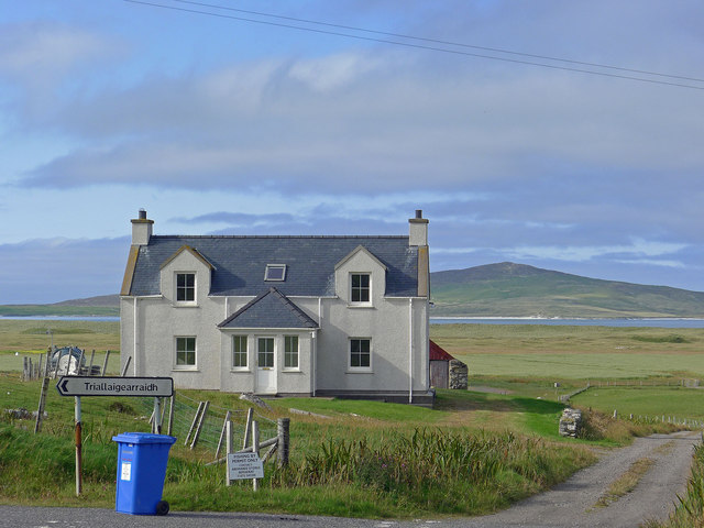
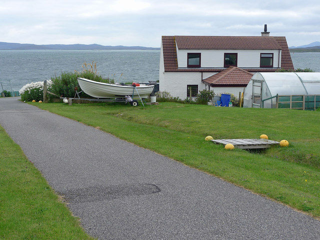
Borgh is a small settlement located in the Inverness-shire region of Scotland. Situated on the west coast, it is nestled between the scenic hills and the tranquil waters of Loch Borgh. The village is part of the Highland Council area, known for its picturesque landscapes and rich history.

Borgh is home to a close-knit community, with a population of around 200 residents. The village offers a peaceful and serene atmosphere, making it an ideal destination for those seeking a quiet retreat from the bustling city life. Its remote location ensures privacy and seclusion, making it a popular choice among nature enthusiasts and outdoor adventurers.

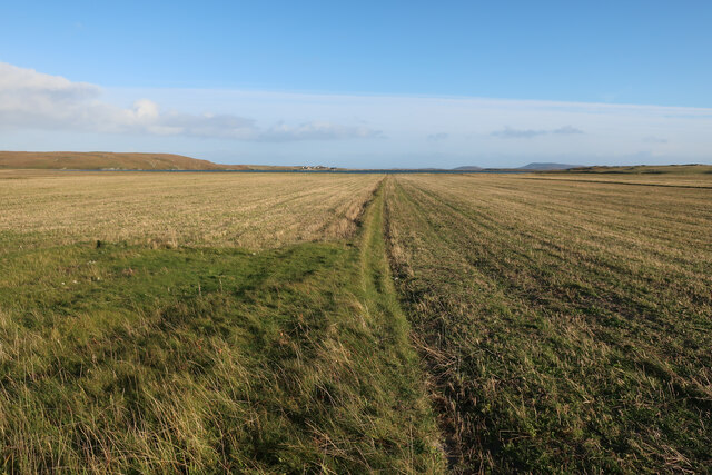
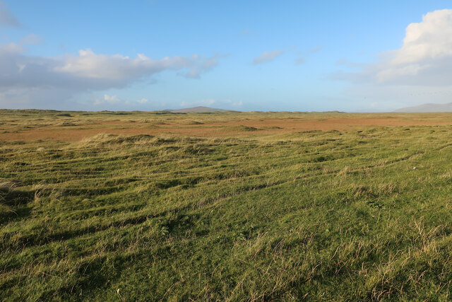
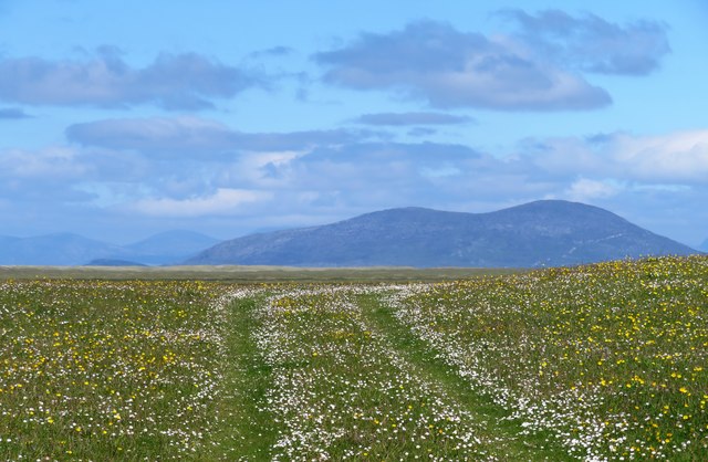
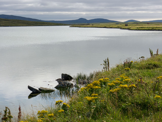
The surrounding area boasts breathtaking natural beauty, with rolling hills, lush green valleys, and stunning views of the loch. The landscape provides ample opportunities for outdoor activities such as hiking, fishing, and bird-watching. Loch Borgh itself is a haven for anglers, offering a variety of fish species including salmon and trout.

While Borgh is a small settlement, it does have some amenities to cater to its residents and visitors. These include a local pub, a small convenience store, and a post office. For more extensive shopping and entertainment options, the nearby town of Kyle of Lochalsh is within easy reach.

Overall, Borgh offers a tranquil and idyllic setting, perfect for those seeking a peaceful getaway amidst the natural beauty of the Scottish Highlands.

If you have any feedback on the listing, please let us know in the comments section below.
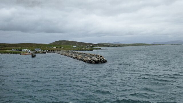
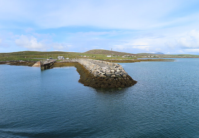
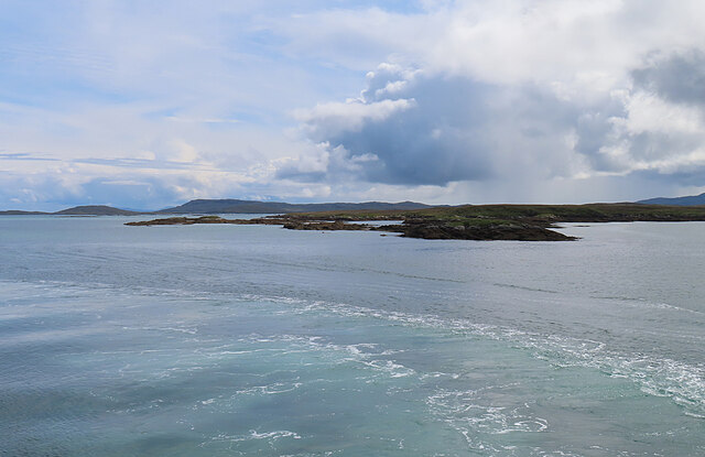
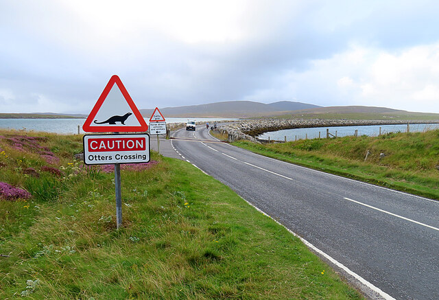
Borgh Images

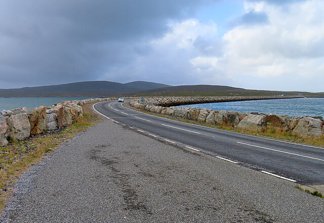
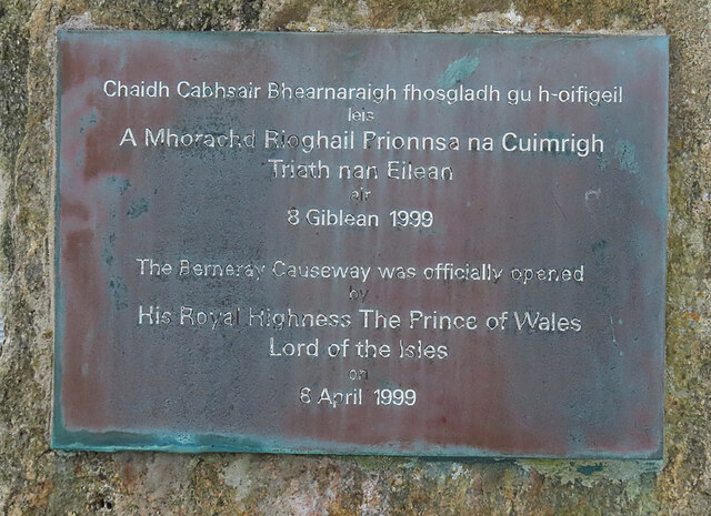
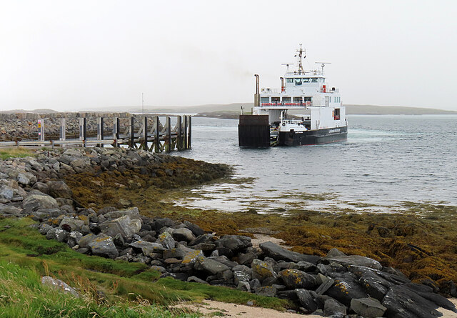
Images are sourced within 2km of 57.711152/-7.1779229 or Grid Reference NF9180. Thanks to Geograph Open Source API. All images are credited.

Stubble fields, Berneray
Machair on Berneray
Machair on Berneray
Track across the machair The machair on Berneray is as fine as anywhere along the Western Isles. The colours are mostly white and yellow from daisies, clover and buttercups, whilst the clover fills the air with a sweet perfume.
Track across the machair
The machair on Berneray is as fine as anywhere along the Western Isles. The colours are mostly white and yellow from daisies, clover and buttercups, whilst the clover fills the air with a sweet perfume.
The Berneray Ferry Terminal A view of the Berneray Ferry terminal taken from the adjacent causeway. The Calmac Ferry 'Loch Portain' can be seen moored at the slipway.
The Berneray Ferry Terminal
A view of the Berneray Ferry terminal taken from the adjacent causeway. The Calmac Ferry 'Loch Portain' can be seen moored at the slipway.
Approaching Berneray/Bearnaraigh
Berneray Pier Seen from the deck of MV 'Lochportain'.
Berneray Pier
Seen from the deck of MV 'Lochportain'.
Eilean Fuam The last skerry that the Sound of Harris ferry needs to avoid before docking in Berneray.
Eilean Fuam
The last skerry that the Sound of Harris ferry needs to avoid before docking in Berneray.
Berneray Causeway The construction of the causeway linking the island to North Uist in the 1990s made life much easier for the human residents of Berneray, but possibly not for the otter population.
Berneray Causeway
The construction of the causeway linking the island to North Uist in the 1990s made life much easier for the human residents of Berneray, but possibly not for the otter population.
Berneray Causeway The causeway linking the island of Berneray to North Uist was officially opened in 1998. See <span class="nowrap"><a title="https://www.cne-siar.gov.uk/roads-travel-and-parking/bridges-causeways-and-ferries/berneray-causeway/" rel="nofollow ugc noopener" href="https://www.cne-siar.gov.uk/roads-travel-and-parking/bridges-causeways-and-ferries/berneray-causeway/">Link</a><img style="margin-left:2px;" alt="External link" title="External link - shift click to open in new window" src="https://s1.geograph.org.uk/img/external.png" width="10" height="10"/></span> for details.
Berneray Causeway
The causeway linking the island of Berneray to North Uist was officially opened in 1998. See LinkExternal link for details.
Commemorative Plaque The plaque is self-explanatory, though I am a little surprised to see that it gives HRH his English title rather than his Scottish one, Duke of Rothesay.
Commemorative Plaque
The plaque is self-explanatory, though I am a little surprised to see that it gives HRH his English title rather than his Scottish one, Duke of Rothesay.
MV 'Lochportain' at Berneray The ferry from Leverburgh is just approaching the slipway at Aird Ma-Ruibhe on Berneray.
MV 'Lochportain' at Berneray
The ferry from Leverburgh is just approaching the slipway at Aird Ma-Ruibhe on Berneray.
A Deluge I was enjoying wandering about with the camera when it began to rain, and I barely made it back to the shelter of the car before the heavens opened, threatening to drown me and anyone else out in it. This was the view through the windscreen as I waited to board the Sound of Harris ferry.
A Deluge
I was enjoying wandering about with the camera when it began to rain, and I barely made it back to the shelter of the car before the heavens opened, threatening to drown me and anyone else out in it. This was the view through the windscreen as I waited to board the Sound of Harris ferry.
Cattle grazing Grassland with cattle grazing.
Cattle grazing
Grassland with cattle grazing.
New house above Loch Bhrusda on Berneray At the junction with the track to Trealigarry (or in Gaelic as displayed on the road sign).  The Sound of Pabbay and Pabbay lie beyond the coastline of Berneray.
New house above Loch Bhrusda on Berneray
At the junction with the track to Trealigarry (or in Gaelic as displayed on the road sign). The Sound of Pabbay and Pabbay lie beyond the coastline of Berneray.
Loch Bhrusda The loch lies between hills and the machair and is backed from this viewpoint by the hills of North Uist.
Loch Bhrusda
The loch lies between hills and the machair and is backed from this viewpoint by the hills of North Uist.
Modern house on Berneray Now Berneray is no longer an island and not reliant on a car ferry to reach North Uist there has been a spate of house building.
Modern house on Berneray
Now Berneray is no longer an island and not reliant on a car ferry to reach North Uist there has been a spate of house building.
Between the road and the sea, Berneray The flowers brighten up the landscape immensely.
Between the road and the sea, Berneray
The flowers brighten up the landscape immensely.
Small boat harbour, Berneray Fit for purpose!
Small boat harbour, Berneray
Fit for purpose!
Show me another place!

Borgh is located at Grid Ref: NF9180 (Lat: 57.711152, Lng: -7.1779229)

Unitary Authority: Na h-Eileanan an Iar

Police Authority: Highlands and Islands

Also known as: Borve

What 3 Words

///path.implanted.trudges. Near Lochmaddy, Na h-Eileanan Siar

Related Wikis

Berneray (North Uist)

Berneray (Scottish Gaelic: Beàrnaraigh na Hearadh) is an island and community in the Sound of Harris, Scotland. It is one of fifteen inhabited islands...

Otternish

Otternish is the former North Uist terminal for the ferry to Berneray, in the Outer Hebrides, Scotland. The slipway lies 6 miles (10 km) north of Lochmaddy...

Newtonferry

Newtonferry (Scottish Gaelic: Port nan Long, "the harbour of the ships") is a small crofting community on the island of North Uist in the Western Isles...

Dun an Sticir

Dun an Sticir (Scottish Gaelic: Dùn an Sticir [ˈt̪un əɲ ˈʃtʲiçkʲɪɾʲ]) is an Iron Age broch situated approximately 9.5 kilometers north of Lochmaddy in...

Nearby Amenities

Located within 500m of 57.711152,-7.1779229
Source: PGS
Lat/Long: 57.712016/-7.1697226
Source: PGS
Lat/Long: 57.7111443/-7.170049
Source: PGS
Lat/Long: 57.7110368/-7.1706122
Source: PGS
Lat/Long: 57.7109165/-7.1728921
Source: PGS
Lat/Long: 57.7112555/-7.17503
Source: PGS
Lat/Long: 57.711274/-7.1751706
Source: PGS
Lat/Long: 57.7106626/-7.1756858
Source: PGS
Lat/Long: 57.7106703/-7.1761086
Source: PGS
Lat/Long: 57.7101702/-7.1759872
Source: PGS
Lat/Long: 57.7101979/-7.1767176
Source: PGS
Lat/Long: 57.709998/-7.1764836
Source: PGS
Lat/Long: 57.7089553/-7.1770938
Source: PGS
Lat/Long: 57.7087507/-7.1770147
Source: PGS
Lat/Long: 57.7084122/-7.1766772
Source: PGS
Lat/Long: 57.7078895/-7.1768068
Source: PGS
Lat/Long: 57.707772/-7.176953
Source: PGS
Lat/Long: 57.7074518/-7.1771581
Source: PGS
Lat/Long: 57.7071523/-7.1777469
Source: PGS
Lat/Long: 57.7070527/-7.1786267
Source: PGS
Lat/Long: 57.7069588/-7.1788748
Post Box
Source: survey
Lat/Long: 57.7119341/-7.1762076
Pol an Oir
Place: hamlet
Lat/Long: 57.7119609/-7.175441
Shelter
Shelter Type: public_transport
Lat/Long: 57.7111285/-7.1777362
Bench
Backrest: yes
Lat/Long: 57.7133038/-7.1845617
Barrier: stile
Foot: yes
Material: wood
Stile: stepover
Lat/Long: 57.7095084/-7.1790859
Information: guidepost
Osmc Symbol: blue_bar
Symbol: light blue bar
Tourism: information
Lat/Long: 57.7091757/-7.1839779
Information: guidepost
Osmc Symbol: blue_bar
Symbol: light blue bar
Tourism: information
Lat/Long: 57.7095182/-7.1811388
Information: guidepost
Osmc Symbol: blue_bar
Symbol: Light blue bar
Tourism: information
Lat/Long: 57.7094108/-7.1798743
Information: guidepost
Osmc Symbol: blue_bar
Tourism: information
Lat/Long: 57.7094878/-7.1790887
Borgh
Name En: Borve
Name Gd: Borgh
Place: village
Wikidata: Q894292
Wikipedia: de:Borve (Berneray)
Lat/Long: 57.7129109/-7.1817756
Barrier: cattle_grid
Bicycle: yes
Foot: yes
Motorcycle: yes
Lat/Long: 57.7105303/-7.1781412
Poll an Oir
Natural: bay
Lat/Long: 57.709369/-7.1747697
Barrier: cattle_grid
Lat/Long: 57.7119822/-7.1768349
Barrier: cattle_grid
Lat/Long: 57.7119841/-7.1804416
Barrier: cattle_grid
Lat/Long: 57.7121787/-7.1803464
Passing Place
Lat/Long: 57.7120535/-7.1803135
Passing Place
Lat/Long: 57.7123973/-7.1812299
Passing Place
Lat/Long: 57.712608/-7.1818172
Access: private
Barrier: cattle_grid
Lat/Long: 57.712512/-7.1819992
Passing Place
Lat/Long: 57.7129232/-7.1827691
Passing Place
Lat/Long: 57.7132488/-7.1844705
Barrier: cattle_grid
Lat/Long: 57.7135795/-7.1713927
Passing Place
Lat/Long: 57.7138819/-7.1713605
Barrier: cattle_grid
Bicycle: yes
Foot: yes
Motorcycle: yes
Lat/Long: 57.710277/-7.1783787
Power: pole
Lat/Long: 57.7111278/-7.1807335
Power: pole
Lat/Long: 57.7113327/-7.1813732
Power: pole
Lat/Long: 57.7115362/-7.1820451
Power: pole
Lat/Long: 57.7117453/-7.1826835
Power: pole
Lat/Long: 57.712004/-7.1834546
Power: pole
Lat/Long: 57.7123177/-7.1844792
Power: pole
Lat/Long: 57.7125298/-7.1851887
Power: pole
Lat/Long: 57.7120849/-7.174948
Power: pole
Lat/Long: 57.7120068/-7.1733776
Power: pole
Lat/Long: 57.7122898/-7.1728103
Power: pole
Lat/Long: 57.7126029/-7.1718219
Power: pole
Lat/Long: 57.7138321/-7.1832186
Power: pole
Lat/Long: 57.7137161/-7.1827331
Power: pole
Lat/Long: 57.7135212/-7.1818587
Power: pole
Lat/Long: 57.7134138/-7.1813035
Power: pole
Lat/Long: 57.7132562/-7.180633
Power: pole
Lat/Long: 57.7131043/-7.1799356
Power: pole
Lat/Long: 57.7129281/-7.1792087
Power: pole
Lat/Long: 57.712706/-7.1781975
Power: pole
Lat/Long: 57.7124753/-7.1772024
Power: pole
Lat/Long: 57.7122561/-7.1762301
Power: pole
Lat/Long: 57.708904/-7.1793576
Power: pole
Lat/Long: 57.7095316/-7.1797331
Power: pole
Lat/Long: 57.7103276/-7.1801984
Power: pole
Lat/Long: 57.7107166/-7.1794085
Power: pole
Lat/Long: 57.7112202/-7.1783772
Power: pole
Lat/Long: 57.7119223/-7.1769315
Power: pole
Lat/Long: 57.711592/-7.1776021
Power: pole
Lat/Long: 57.7114645/-7.1770375
Power: pole
Lat/Long: 57.7111851/-7.1762422
Power: pole
Lat/Long: 57.7082012/-7.1789512
Power: pole
Lat/Long: 57.7079705/-7.1797974
Power: pole
Lat/Long: 57.7076266/-7.181046
Power: pole
Lat/Long: 57.7073916/-7.1819204
Barrier: cattle_grid
Lat/Long: 57.712953/-7.1826003
Barrier: cattle_grid
Lat/Long: 57.7132875/-7.184416
Barrier: cattle_grid
Lat/Long: 57.7123289/-7.1814219
Power: pole
Lat/Long: 57.7122638/-7.1827826
Power: pole
Lat/Long: 57.7125511/-7.1844241
Power: pole
Lat/Long: 57.7136758/-7.1837764
Power: pole
Lat/Long: 57.7068259/-7.1799968
Power: pole
Lat/Long: 57.7069825/-7.1799441
Power: pole
Lat/Long: 57.7072179/-7.1793531
Power: pole
Lat/Long: 57.707487/-7.1787572
Power: pole
Lat/Long: 57.7077267/-7.1788797
Passing Place
Lat/Long: 57.7130471/-7.1719975
The data included in this document is from www.openstreetmap.org. The data is made available under ODbL.

Have you been to Borgh?

Leave your review of Borgh below (or comments, questions and feedback).