Aird Ma-Ruibhe
Coastal Feature, Headland, Point in Inverness-shire
Scotland
Aird Ma-Ruibhe
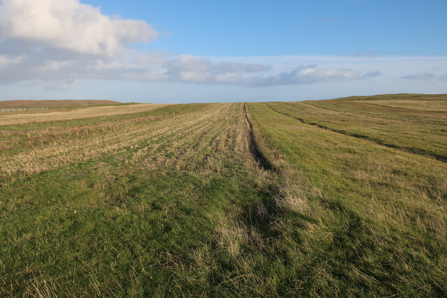
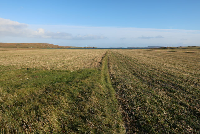
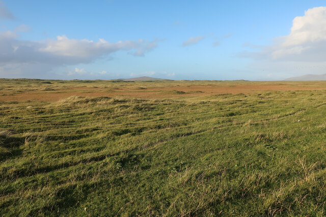
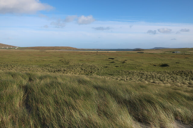
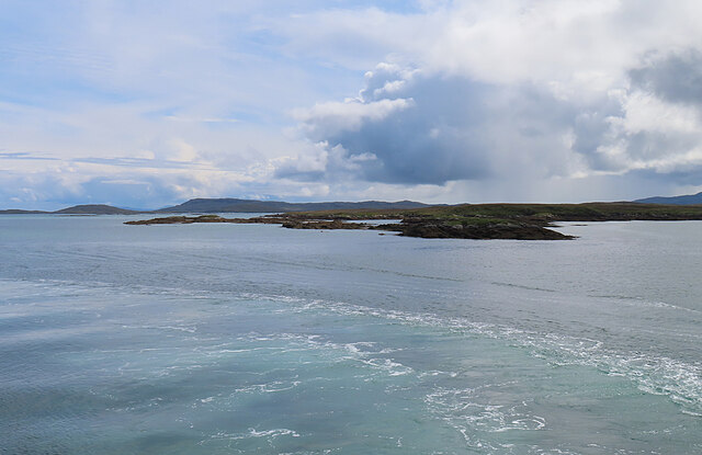
Aird Ma-Ruibhe is a prominent coastal feature located in Inverness-shire, Scotland. It is a headland that juts out into the North Atlantic Ocean, forming a distinctive point along the coastline. The name "Aird Ma-Ruibhe" translates to "Point of the Red Deer" in Gaelic, reflecting the area's rich natural heritage.
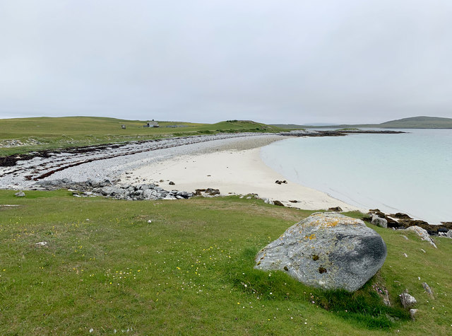
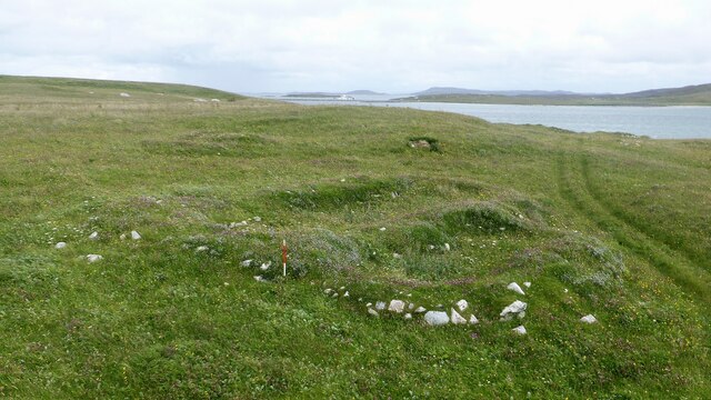
The headland is characterized by its rugged and dramatic cliffs, which rise steeply from the sea, creating a striking visual spectacle. These cliffs are composed of ancient rocks, dating back millions of years, providing geologists with valuable insights into the region's geological history.
Aird Ma-Ruibhe is well-known for its breathtaking views, offering panoramic vistas of the surrounding ocean and the sweeping coastal landscape. On a clear day, visitors can see as far as the inner Hebrides and the Isle of Skye.
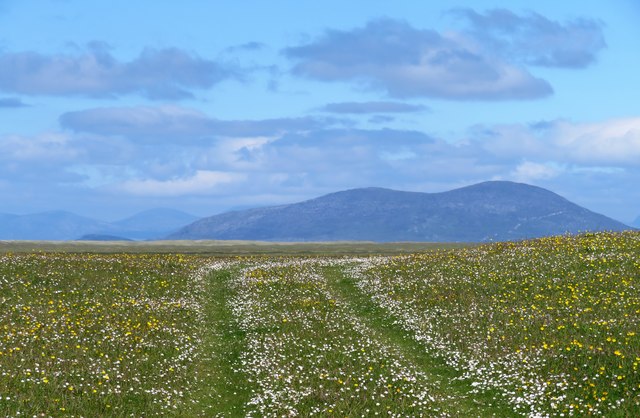
The headland is also home to a diverse range of flora and fauna. The cliffs provide nesting grounds for a variety of seabirds, including guillemots, razorbills, and puffins, making it a popular spot for birdwatchers. The surrounding moorland is dotted with heather and wildflowers, offering a vibrant display of colors during the summer months.
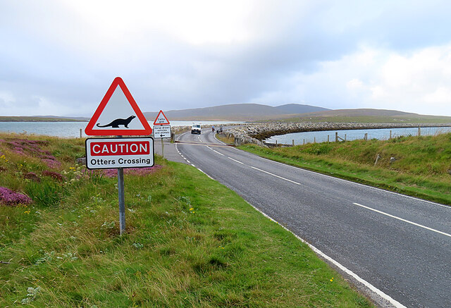
Access to Aird Ma-Ruibhe is possible via a network of footpaths that wind their way along the coastline, allowing visitors to explore the headland and appreciate its natural beauty up close. The area is protected and managed by local conservation organizations to preserve its ecological significance for future generations to enjoy.
If you have any feedback on the listing, please let us know in the comments section below.
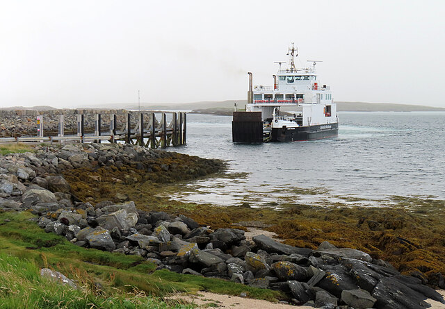
Aird Ma-Ruibhe Images
Images are sourced within 2km of 57.704127/-7.1815904 or Grid Reference NF9180. Thanks to Geograph Open Source API. All images are credited.
Aird Ma-Ruibhe is located at Grid Ref: NF9180 (Lat: 57.704127, Lng: -7.1815904)
Unitary Authority: Na h-Eileanan an Iar
Police Authority: Highlands and Islands
What 3 Words
///roost.daunting.guidebook. Near Lochmaddy, Na h-Eileanan Siar
Nearby Locations
Related Wikis

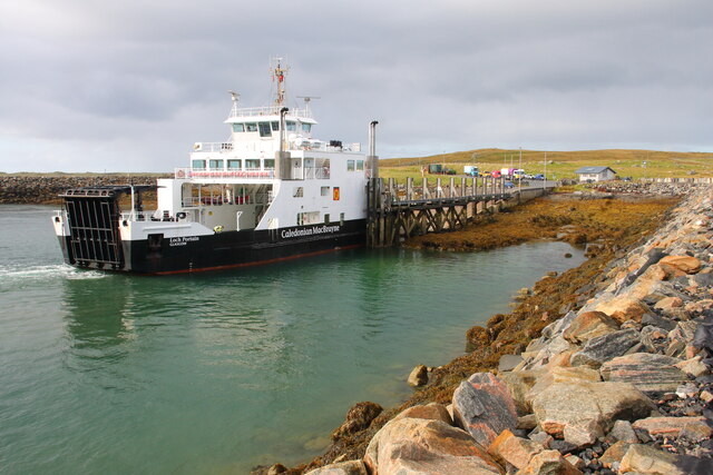
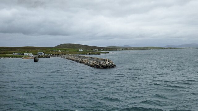
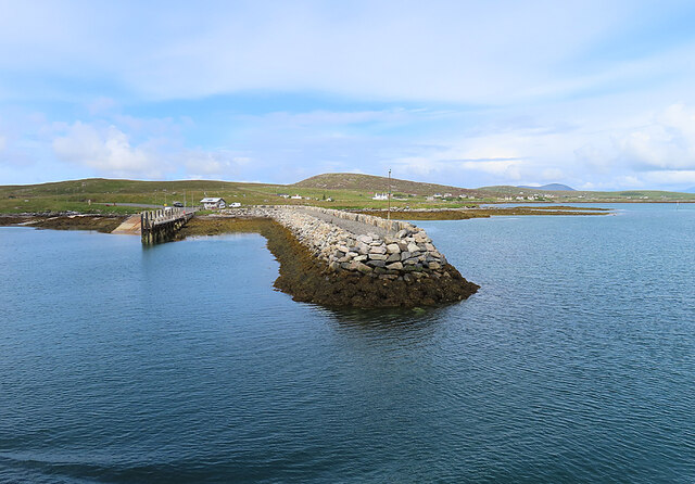
Otternish
Otternish is the former North Uist terminal for the ferry to Berneray, in the Outer Hebrides, Scotland. The slipway lies 6 miles (10 km) north of Lochmaddy...

Berneray (North Uist)
Berneray (Scottish Gaelic: Beàrnaraigh na Hearadh) is an island and community in the Sound of Harris, Scotland. It is one of fifteen inhabited islands...

Newtonferry
Newtonferry (Scottish Gaelic: Port nan Long, "the harbour of the ships") is a small crofting community on the island of North Uist in the Western Isles...

Dun an Sticir
Dun an Sticir (Scottish Gaelic: Dùn an Sticir [ˈt̪un əɲ ˈʃtʲiçkʲɪɾʲ]) is an Iron Age broch situated approximately 9.5 kilometers north of Lochmaddy in...
Nearby Amenities
Located within 500m of 57.704127,-7.1815904Have you been to Aird Ma-Ruibhe?
Leave your review of Aird Ma-Ruibhe below (or comments, questions and feedback).