Boreham
Settlement in Essex Chelmsford
England
Boreham

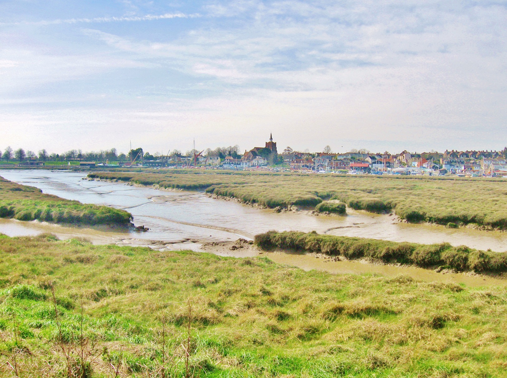
Boreham is a small village located in the county of Essex in England. Situated approximately 4 miles northeast of the city of Chelmsford, Boreham is a rural area with a population of around 2,000 residents.
The village is known for its picturesque countryside and charming atmosphere. It features a mix of historic properties, such as timber-framed cottages and thatched-roof houses, as well as modern developments. Boreham is surrounded by open fields and farmland, providing a tranquil and scenic environment.
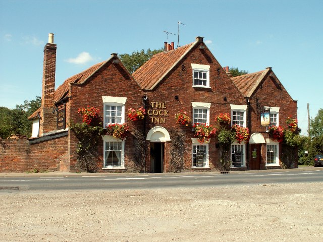
Boreham is home to a few amenities, including a primary school, a village hall, and a local pub. The village also hosts various community events throughout the year, such as summer fairs and festive celebrations.
For those interested in outdoor activities, Boreham offers several opportunities. The village has a cricket ground where local teams compete, and there are also numerous walking paths and bridleways in the surrounding countryside, allowing residents to explore the beautiful landscape.
Transportation in Boreham is primarily dependent on private vehicles, as the village is not served by a railway station. However, it is conveniently located near the A12 road, which provides easy access to nearby towns and cities.
Overall, Boreham is a charming village in Essex, offering a peaceful and idyllic setting for its residents, while still being within close proximity to the amenities of larger neighboring towns.
If you have any feedback on the listing, please let us know in the comments section below.
Boreham Images
Images are sourced within 2km of 51.764302/0.54783833 or Grid Reference TL7510. Thanks to Geograph Open Source API. All images are credited.


Boreham is located at Grid Ref: TL7510 (Lat: 51.764302, Lng: 0.54783833)
Administrative County: Essex
District: Chelmsford
Police Authority: Essex
What 3 Words
///lollipop.obvious.grant. Near Boreham, Essex
Nearby Locations
Related Wikis
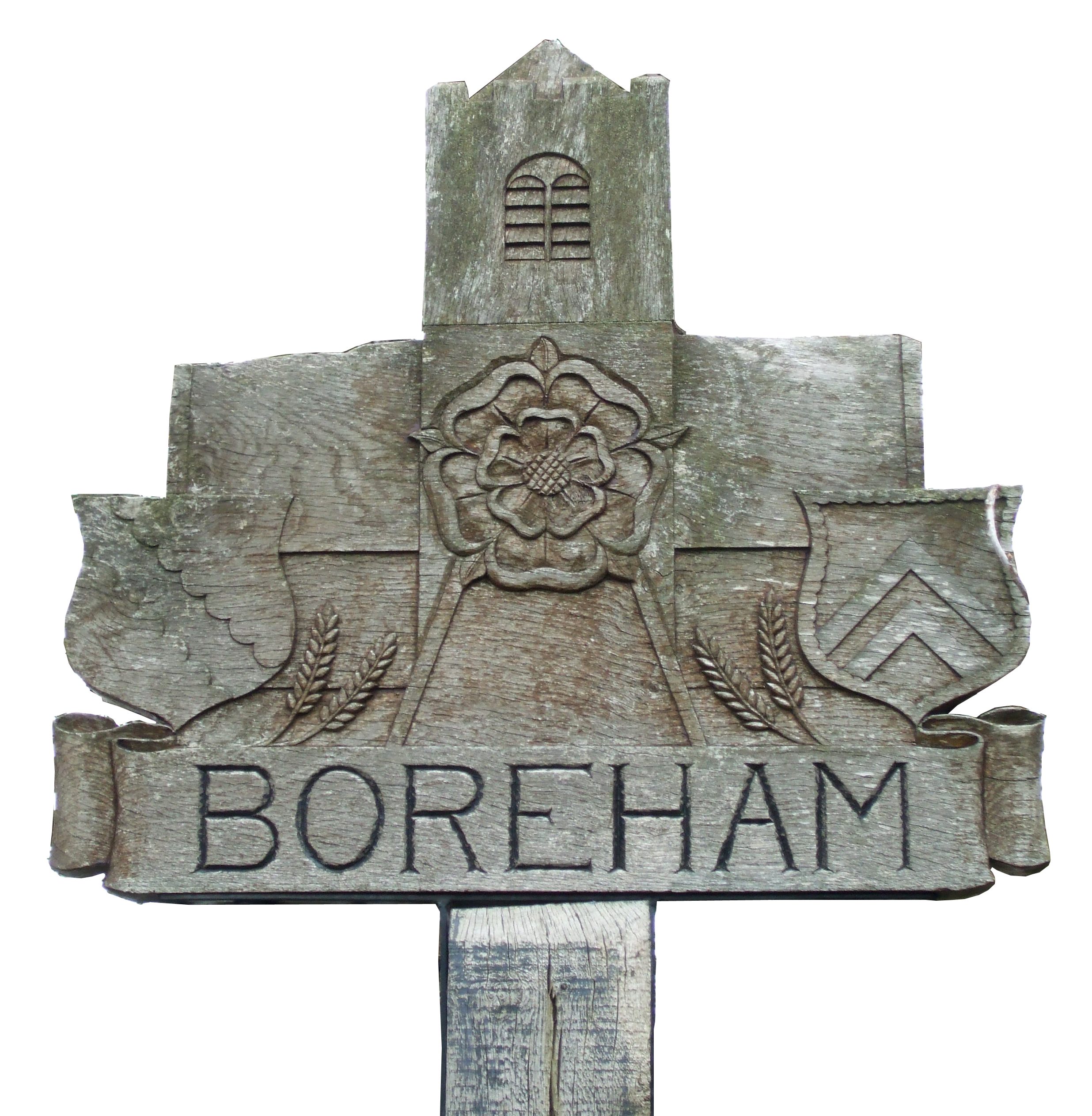
Boreham
Boreham is a village and civil parish in Essex, England. The parish is in the City of Chelmsford and Chelmsford Parliament constituency. The village is...

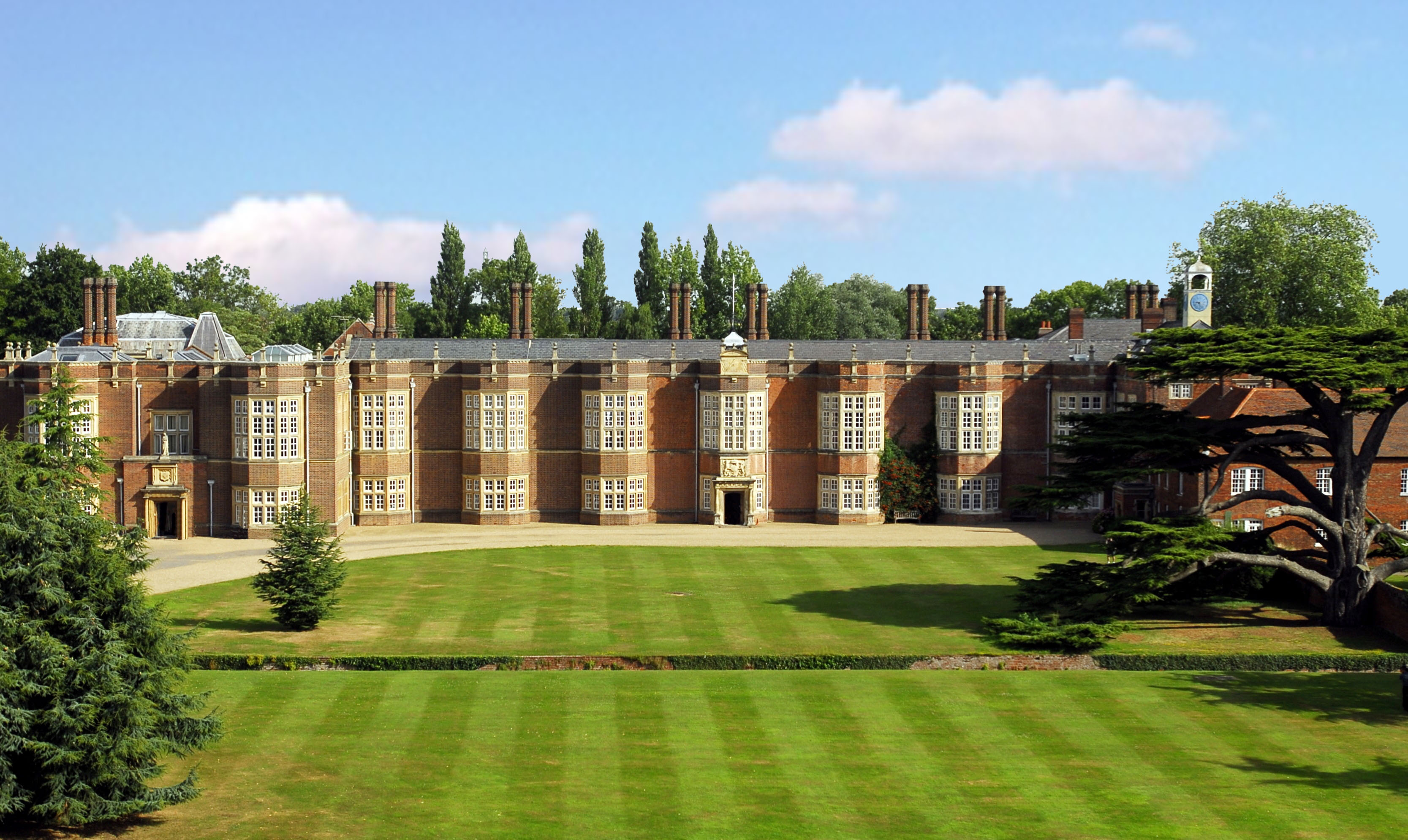
Boreham House
Boreham House is a Grade I Listed mansion set in 35 acres (140,000 m2) of Boreham, Chelmsford, Essex, England. Boreham House was built from 1728 to 1733...

Mowden, Essex
Mowden is a hamlet in the civil parish of Hatfield Peverel, in the Braintree district, in the county of Essex, England. It is about 5 miles away from the...

Beaulieu Park railway station
Beaulieu Park railway station is a planned station on the Great Eastern Main Line in the East of England that will serve a new development in Boreham,...
New Hall School
New Hall School is a Catholic co-educational private boarding and day school in the village of Boreham near Chelmsford, Essex, England. It was founded...
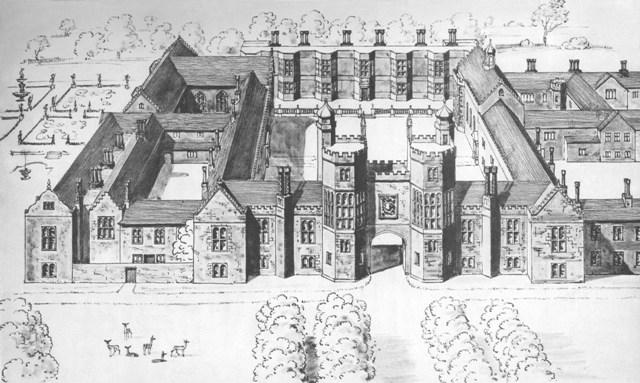
Palace of Beaulieu
The Palace of Beaulieu ( BEW-lee) is a former royal palace in Boreham, Essex, England, north-east of Chelmsford. The surviving part is a Grade I listed...
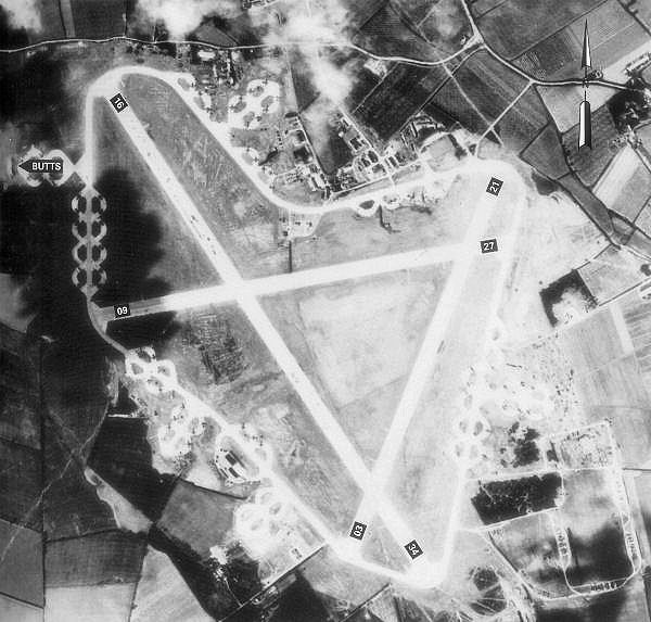
RAF Boreham
Royal Air Force Boreham or more simply RAF Boreham is a former Royal Air Force station in Essex, England. The airfield was always known locally as : "Boreham...
Essex
Essex ( ESS-iks) is a ceremonial county in the East of England and one of the home counties. It is bordered by Cambridgeshire and Suffolk to the north...
Nearby Amenities
Located within 500m of 51.764302,0.54783833Have you been to Boreham?
Leave your review of Boreham below (or comments, questions and feedback).