Boreham

Settlement in Wiltshire

England

Boreham

Exit from Warminster Railway Station
Exit from Warminster Railway Station Credit: JThomas

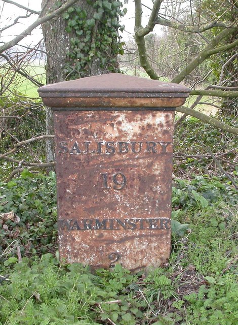
Boreham is a small village located in the county of Wiltshire, England. Situated approximately 6 miles southwest of the town of Warminster, it is nestled in the picturesque Wylye Valley. The village is part of the civil parish of Bishopstrow and enjoys a rural setting with beautiful countryside surroundings.

Historically, Boreham has been inhabited since ancient times, with evidence of Roman occupation found in the area. The village's name is derived from the Old English word "bor," meaning "spring," which suggests the presence of natural springs in the vicinity.

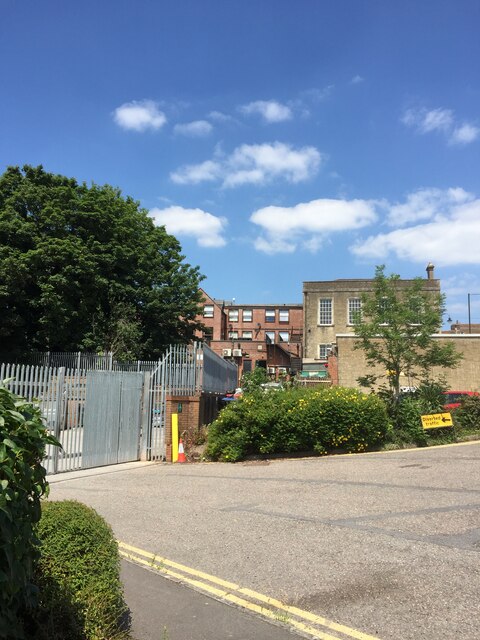
Today, Boreham is a peaceful and tranquil village with a tight-knit community. It boasts a charming mix of traditional thatched cottages and more modern houses, creating a diverse architectural landscape. The village is primarily residential, with a population of around 300 people.

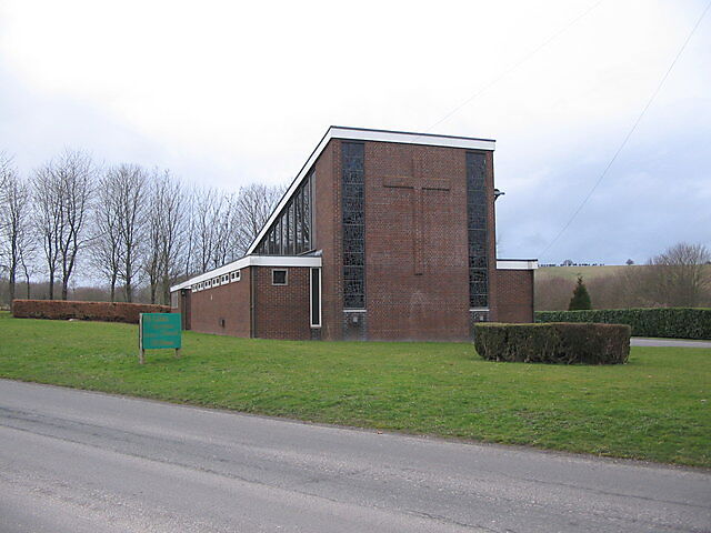
Although small, Boreham offers several amenities for its residents. It has a village hall that serves as a community hub, hosting various events, gatherings, and local activities. The village is also home to St. Michael and All Angels Church, an ancient place of worship that dates back to the 12th century.

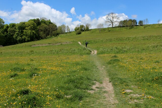
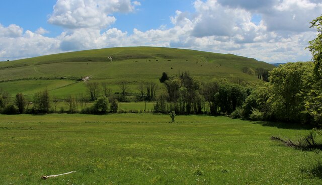
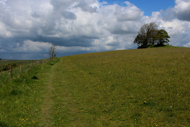
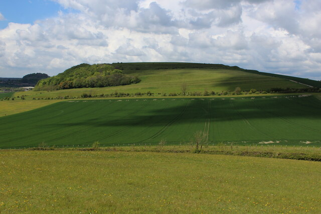
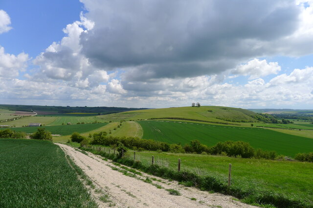
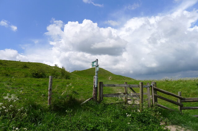
Nature lovers will appreciate the natural beauty surrounding Boreham, with access to scenic walking trails and the nearby River Wylye, known for its fishing and picturesque views. The village is well-connected to neighboring towns and cities through road links, making it an ideal location for those seeking a quiet countryside lifestyle while still having access to urban amenities.

If you have any feedback on the listing, please let us know in the comments section below.
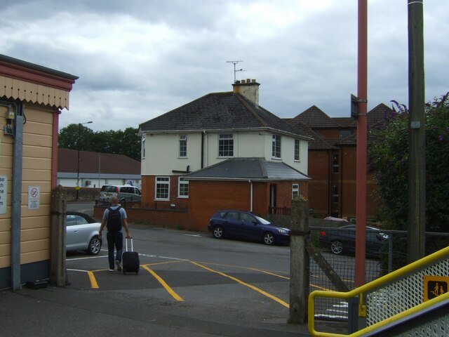
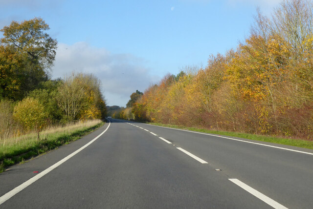
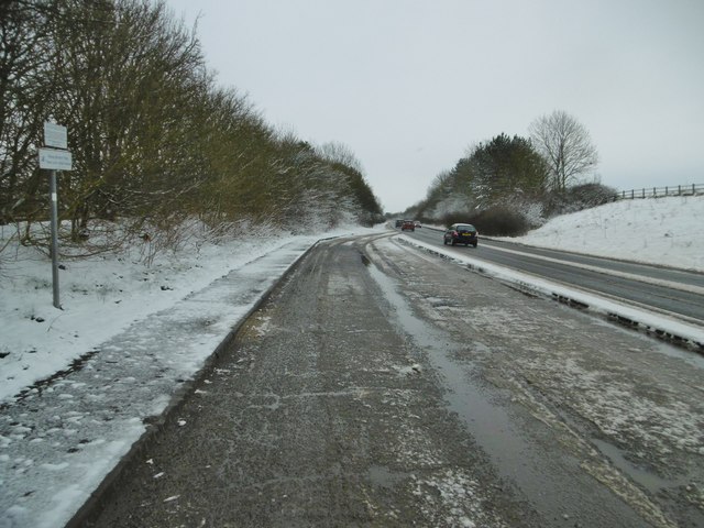
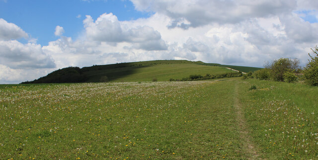
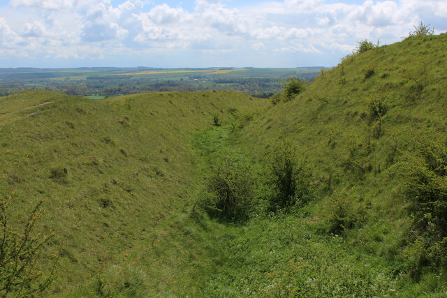
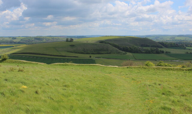
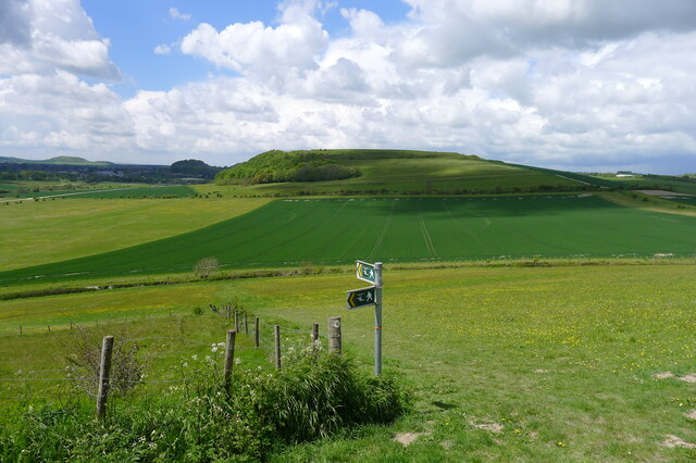
Boreham Images

Images are sourced within 2km of 51.196945/-2.158256 or Grid Reference ST8944. Thanks to Geograph Open Source API. All images are credited.

Exit from Warminster Railway Station
A36 towards Bath Bypassing Warminster.
A36 towards Bath
Bypassing Warminster.
Norton Bavant, lay-by On A36 southbound. The road has been gritted, and snow is not forecast to stay.
Norton Bavant, lay-by
On A36 southbound. The road has been gritted, and snow is not forecast to stay.
Old Milepost by the B3414, Warminster Road, Norton Bavant Cast iron post by the B3414, in parish of Norton Bavant (West Wiltshire District), Warminster Road; 800m East of entrance to Bishopstrow Farm, by the road, on Southwest side of road. C&M Classical iron casting, erected by the Warminster turnpike trust in the 19th century. 

Inscription reads:-
SALISBURY
19
WARMINSTER
2

Grade II listed.  
List Entry Number: 1364340 <span class="nowrap"><a title="https://historicengland.org.uk/listing/the-list/list-entry/1364340" rel="nofollow ugc noopener" href="https://historicengland.org.uk/listing/the-list/list-entry/1364340">Link</a><img style="margin-left:2px;" alt="External link" title="External link - shift click to open in new window" src="https://s1.geograph.org.uk/img/external.png" width="10" height="10"/></span>

Milestone Society National ID: WI_SAWM19
Old Milepost by the B3414, Warminster Road, Norton Bavant
Cast iron post by the B3414, in parish of Norton Bavant (West Wiltshire District), Warminster Road; 800m East of entrance to Bishopstrow Farm, by the road, on Southwest side of road. C&M Classical iron casting, erected by the Warminster turnpike trust in the 19th century. Inscription reads:- SALISBURY 19 WARMINSTER 2 Grade II listed. List Entry Number: 1364340 LinkExternal link Milestone Society National ID: WI_SAWM19
Wessex Ridgeway ascending Middle Hill from the East The long distance footpath ascends the eastern flank of Middle Hill, crossing Strip Lynchets in the process - medieval lines of ploughed land, seen as grassed over ridges in the photograph
Wessex Ridgeway ascending Middle Hill from the East
The long distance footpath ascends the eastern flank of Middle Hill, crossing Strip Lynchets in the process - medieval lines of ploughed land, seen as grassed over ridges in the photograph
View towards Scratchbury Hill Looking south east from the flanks of Middle Hill
View towards Scratchbury Hill
Looking south east from the flanks of Middle Hill
Summit of Middle Hill The clump of trees marks the summit, while the footpath is adopted by the Wessex Ridgeway as it follows the western edge before descending down the flank of the hill.
Summit of Middle Hill
The clump of trees marks the summit, while the footpath is adopted by the Wessex Ridgeway as it follows the western edge before descending down the flank of the hill.
View towards Battlesbury Hill As seen from the Wessex Ridgeway on the flanks of Middle Hill, the impressive eastern side of the hill crowned by the Iron Age Hillfort of Battlesbury Camp.
View towards Battlesbury Hill
As seen from the Wessex Ridgeway on the flanks of Middle Hill, the impressive eastern side of the hill crowned by the Iron Age Hillfort of Battlesbury Camp.
Wessex Ridgeway heading towards Battlesbury Hill The Wessex Ridgeway is a 136-mile long-distance footpath which runs from Marlborough in Wiltshire to Lyme Regis in Dorset. It was opened in 1994. 

Wikipedia entry: <span class="nowrap"><a title="https://en.wikipedia.org/wiki/Wessex_Ridgeway" rel="nofollow ugc noopener" href="https://en.wikipedia.org/wiki/Wessex_Ridgeway">Link</a><img style="margin-left:2px;" alt="External link" title="External link - shift click to open in new window" src="https://s1.geograph.org.uk/img/external.png" width="10" height="10"/></span>
Wessex Ridgeway heading towards Battlesbury Hill
The Wessex Ridgeway is a 136-mile long-distance footpath which runs from Marlborough in Wiltshire to Lyme Regis in Dorset. It was opened in 1994. Wikipedia entry: LinkExternal link
Fortifications and Ramparts on Battlesbury Camp The Wessex Ridgeway follows the ramparts around the southern portion of the iron age hillfort - rather than cutting straight across the summit.
Fortifications and Ramparts on Battlesbury Camp
The Wessex Ridgeway follows the ramparts around the southern portion of the iron age hillfort - rather than cutting straight across the summit.
View towards Middle Hill From Battlesbury Camp, looking east towards Middle Hill and Scratchbury Hill beyond.
View towards Middle Hill
From Battlesbury Camp, looking east towards Middle Hill and Scratchbury Hill beyond.
Climbing up the south-east flank of Middle Hill The Wessex Ridgeway path about to cross the small terrace of a 'strip lynchet'.
Climbing up the south-east flank of Middle Hill
The Wessex Ridgeway path about to cross the small terrace of a 'strip lynchet'.
View from Middle Hill View from the chalk escarpment on the southern edge of Salisbury Plain, looking over Warminster towards the double hump of Cley Hill on the horizon
View from Middle Hill
View from the chalk escarpment on the southern edge of Salisbury Plain, looking over Warminster towards the double hump of Cley Hill on the horizon
The Imber Range Path leaving Middle Hill Imber is a deserted village in the middle of the MOD training ranges on Salisbury Plain, and the Imber Range Path corresponds with the Wessex Ridgeway path around much of the Plain. The position of this sign is a slight variation from the path indicated on the OS map.
The Imber Range Path leaving Middle Hill
Imber is a deserted village in the middle of the MOD training ranges on Salisbury Plain, and the Imber Range Path corresponds with the Wessex Ridgeway path around much of the Plain. The position of this sign is a slight variation from the path indicated on the OS map.
View south-east from the flank of Battlesbury Hill Looking towards Middle Hill
View south-east from the flank of Battlesbury Hill
Looking towards Middle Hill
The Wessex Ridgeway path reaching the ramparts of Battlesbury Hill
B3414 towards Warminster The old route of the A36 before a bypass was built.
B3414 towards Warminster
The old route of the A36 before a bypass was built.
Entrance to Morrisons loading bay Warminster
Show me another place!

Boreham is located at Grid Ref: ST8944 (Lat: 51.196945, Lng: -2.158256)

Unitary Authority: Wiltshire

Police Authority: Wiltshire

What 3 Words

///poets.learn.plays. Near Bishopstrow, Wiltshire

Related Wikis

Nearby Amenities

Located within 500m of 51.196945,-2.158256
Crossing
Crossing: unmarked
Crossing Markings: no
Kerb: lowered
Lat/Long: 51.1971471/-2.1574307
Bus Stop
Boreham Fields
Bus: yes
Public Transport: platform
Lat/Long: 51.1980979/-2.1573149
Bus Stop
Bishopstrow Bus Stop
Bus: yes
Public Transport: platform
Lat/Long: 51.1943692/-2.1550154
Crossing
Crossing Island: yes
Kerb: lowered
Lat/Long: 51.1974594/-2.1579726
Boreham
Place: suburb
Lat/Long: 51.1969884/-2.1584899
Bishopstrow
Place: village
Lat/Long: 51.1934111/-2.1539973
Mini Roundabout
Lat/Long: 51.197342/-2.1574983
Crossing
Crossing: unmarked
Crossing Markings: no
Kerb: lowered
Source: Bing
Lat/Long: 51.2007642/-2.1614628
Crossing
Crossing: unmarked
Crossing Markings: no
Kerb: lowered
Source: Bing
Lat/Long: 51.2003013/-2.1622111
Crossing
Crossing: unmarked
Crossing Markings: no
Kerb: lowered
Source: seen on journey
Lat/Long: 51.1991279/-2.1562308
Crossing
Crossing: unmarked
Crossing Markings: no
Kerb: lowered
Source: survey
Lat/Long: 51.1975135/-2.1577274
Crossing
Crossing: unmarked
Crossing Markings: no
Kerb: lowered
Lat/Long: 51.1980258/-2.1573239
Crossing
Crossing: uncontrolled
Crossing Ref: zebra
Kerb: lowered
Source: seen on journey
Lat/Long: 51.1989792/-2.1561418
Shop: convenience
Lat/Long: 51.2002674/-2.1567495
Crossing
Crossing: unmarked
Crossing Markings: no
Kerb: lowered
Source: Bing
Lat/Long: 51.1971368/-2.1559603
Crossing
Crossing: unmarked
Crossing Markings: no
Kerb: lowered
Lat/Long: 51.1984225/-2.1612362
Crossing
Crossing: unmarked
Crossing Markings: no
Kerb: lowered
Lat/Long: 51.1990632/-2.163539
Post Box
Operator: Royal Mail
Operator Wikidata: Q638098
Post Box Type: lamp
Ref: BA12 110D
Royal Cypher: EIIR
Royal Cypher Wikidata: Q33102113
Lat/Long: 51.1989994/-2.1562164
Yeates Meadow
Tourism: attraction
Lat/Long: 51.1985797/-2.1643803
The data included in this document is from www.openstreetmap.org. The data is made available under ODbL.

Have you been to Boreham?

Leave your review of Boreham below (or comments, questions and feedback).