Downs, The
Settlement in Surrey Waverley
England
Downs, The

Downs is a picturesque area located in Surrey, England. Nestled amidst the stunning countryside, it offers a tranquil retreat from the hustle and bustle of city life. Covering a vast expanse of rolling hills and green fields, the Downs is a haven for nature lovers and outdoor enthusiasts alike.
The area is known for its breathtaking landscapes, with panoramic views that stretch for miles. Visitors can enjoy long walks along the numerous walking trails that crisscross the Downs, taking in the fresh air and immersing themselves in the serene surroundings. The diverse flora and fauna found here add to the area's natural beauty, making it a popular spot for wildlife enthusiasts.
The Downs is also home to several charming villages and towns, each with its own unique character. These communities offer a range of amenities, including quaint shops, cozy pubs, and traditional tea rooms, where visitors can indulge in the local cuisine and experience the warm hospitality of the locals.
In addition to its natural attractions, the Downs is also rich in history and heritage. The area boasts ancient landmarks, such as burial mounds and hill forts, which provide a glimpse into the region's past. There are also historic houses and gardens that offer a fascinating insight into the architectural and cultural heritage of the area.
Overall, the Downs in Surrey is a captivating destination that combines natural beauty, outdoor activities, and a rich history. A visit to this idyllic countryside location promises a peaceful and rejuvenating experience for all who venture there.
If you have any feedback on the listing, please let us know in the comments section below.
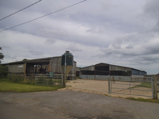
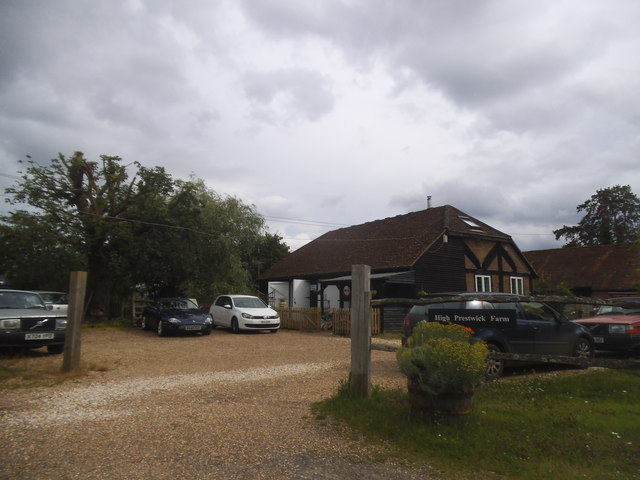
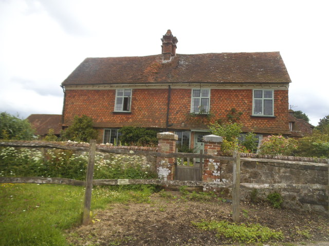
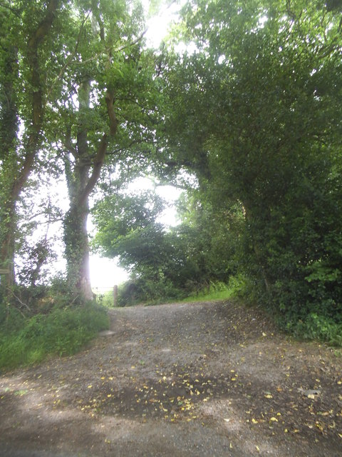
Downs, The Images
Images are sourced within 2km of 51.106437/-0.6444214 or Grid Reference SU9535. Thanks to Geograph Open Source API. All images are credited.


Downs, The is located at Grid Ref: SU9535 (Lat: 51.106437, Lng: -0.6444214)
Administrative County: Surrey
District: Waverley
Police Authority: Surrey
What 3 Words
///paper.stay.feasted. Near Chiddingfold, Surrey
Nearby Locations
Related Wikis

Netherside Stream Outcrops
Netherside Stream Outcrops is a 2.9-hectare (7.2-acre) geological Site of Special Scientific Interest north-east of Haslemere in Surrey. It is a Geological...

Chiddingfold
Chiddingfold is a village and civil parish in the Weald in the Waverley district of Surrey, England. It lies on the A283 road between Milford and Petworth...

St Teresa of Avila Church, Chiddingfold
St Teresa of Avila Church is a Roman Catholic Parish church in Chiddingfold, Surrey. It is situated on the corner of Petworth Road and Woodside Road in...

Ramsnest Common
Ramsnest Common is a hamlet in the far south of the Borough of Waverley, the largest district of Surrey, England centred on the A283 1.5 miles (2.4 km...

Ramster
Ramster Garden is an open garden, near Chiddingfold, Surrey, covering over 20 acres (81,000 m2). First landscaped and laid out in the 1890s by Gauntlett...

Pickhurst
Pickhurst is a grade II* listed house set in 130 acres (53 ha) of land near Chiddingfold, Surrey, England. == History == It was designed by the Scottish...

Witley railway station
Witley railway station is a station on the Portsmouth Direct Line in Surrey, England. It is 38 miles 36 chains (61.9 km) down the line from London Waterloo...

Tigbourne Court
Tigbourne Court is an Arts and Crafts style country house in Wormley, Surrey, England, 1 mile (1.6 km) south of Witley. It was designed by architect Edwin...
Nearby Amenities
Located within 500m of 51.106437,-0.6444214Have you been to Downs, The?
Leave your review of Downs, The below (or comments, questions and feedback).