Ainley Top

Settlement in Yorkshire

England

Ainley Top

Lindley Moor Road at Ainley Top
Lindley Moor Road at Ainley Top Credit: Ian S

Ainley Top is a small village located in the metropolitan borough of Kirklees, in West Yorkshire, England. Situated approximately 3 miles southeast of Huddersfield town center, Ainley Top lies on the crossroads of the A629 and A643 roads.

The village is primarily known for its proximity to the M62 motorway, with the Ainley Top junction (Junction 24) serving as a key interchange. This strategic location makes Ainley Top a popular stopover for travelers and commuters alike, providing easy access to major cities such as Leeds, Manchester, and Bradford.

Despite its small size, Ainley Top has a range of amenities to cater to the needs of its residents and visitors. There are several retail outlets, including a large supermarket, petrol stations, and various independent shops. The village also boasts a number of dining options, from fast-food chains to local restaurants, offering a diverse range of cuisines.

Ainley Top is surrounded by picturesque countryside, with the stunning Pennine hills just a short drive away. This makes it an ideal base for outdoor enthusiasts, offering opportunities for hiking, cycling, and exploring the nearby nature reserves.

Overall, Ainley Top is a well-connected village that benefits from its strategic location near major transport links. It offers a range of facilities and easy access to both urban and rural attractions, making it an attractive place for both residents and travelers passing through.

If you have any feedback on the listing, please let us know in the comments section below.
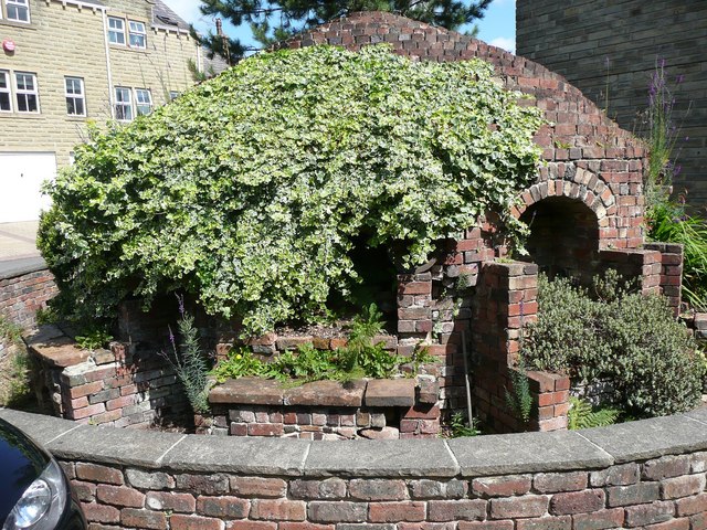
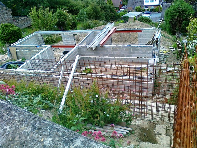
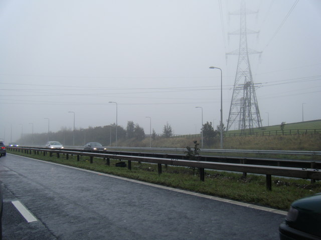
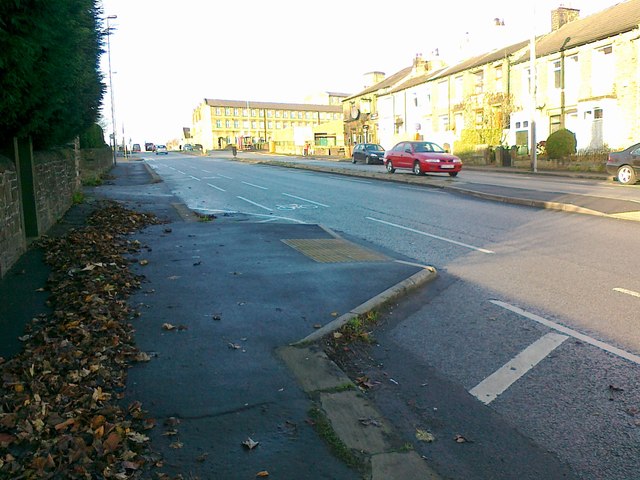
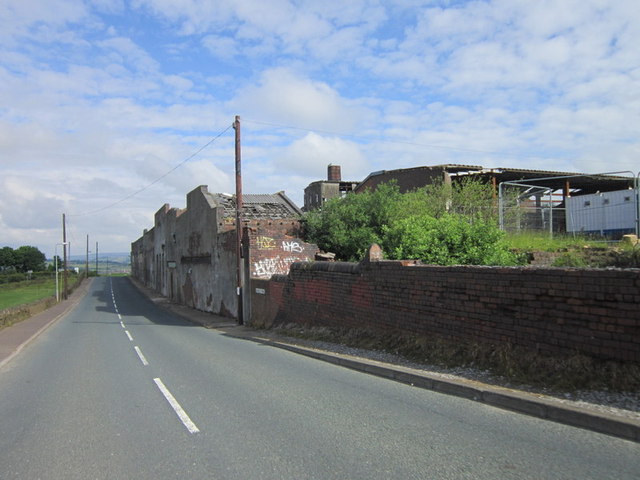
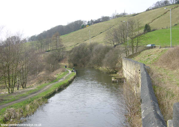
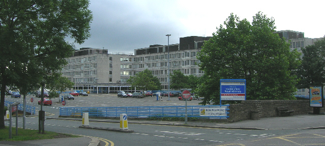
Ainley Top Images

Images are sourced within 2km of 53.670309/-1.8190284 or Grid Reference SE1219. Thanks to Geograph Open Source API. All images are credited.

Lindley Moor Road at Ainley Top
Wappy Spring Inn on Lindley Moor Road
Kiln at Kiln Close, Salendine Nook, Lindley cum Quarmby This kiln has been preserved in a housing development on the site of Lindley Moor Pottery.
Kiln at Kiln Close, Salendine Nook, Lindley cum Quarmby
This kiln has been preserved in a housing development on the site of Lindley Moor Pottery.
House under construction, Halifax Old Road, Cowcliffe
Briarcourt, Lindley A large house built 1894-6 by Edgar Wood for John Sykes, as a wedding present for his son Herbert Higginson Sykes and Edgar Wood's sister Annie Eliza. It has been a children's home, and is now owned by Kirklees Council and used for temporary office accommodation.
Briarcourt, Lindley
A large house built 1894-6 by Edgar Wood for John Sykes, as a wedding present for his son Herbert Higginson Sykes and Edgar Wood's sister Annie Eliza. It has been a children's home, and is now owned by Kirklees Council and used for temporary office accommodation.
Briarcourt, Lindley A large house built 1894-6 by Edgar Wood for John Sykes, as a wedding present for his son Herbert Higginson Sykes and Edgar Wood's sister Annie Eliza. The second floor was added c.1905. It has been a children's home, and is now owned by Kirklees Council and used for temporary office accommodation.
Briarcourt, Lindley
A large house built 1894-6 by Edgar Wood for John Sykes, as a wedding present for his son Herbert Higginson Sykes and Edgar Wood's sister Annie Eliza. The second floor was added c.1905. It has been a children's home, and is now owned by Kirklees Council and used for temporary office accommodation.
An angel at Briarcourt, Lindley One of the angels on the drawing room ceiling.
An angel at Briarcourt, Lindley
One of the angels on the drawing room ceiling.
An angel at Briarcourt, Lindley One of the angels on the drawing room ceiling.
An angel at Briarcourt, Lindley
One of the angels on the drawing room ceiling.
M62 eastbound near Blackley
New Hey Road, Huddersfield
Weatherhill Road, Ainley Top
Wellington Mills, heritage village Plover Road Huddersfield.
Wellington Mills, heritage village
Plover Road Huddersfield.
Total filling station, Birchencliffe Viewed from the Briar Court Hotel <a href="https://www.geograph.org.uk/photo/800833">SE1118 : Briar Court Hotel - Halifax Road</a>.
Total filling station, Birchencliffe
Viewed from the Briar Court Hotel SE1118 : Briar Court Hotel - Halifax Road.
The entrance to Fixby water treatment works
The Nags Head at Ainley Top
Ruined buildings at Blackley
M62 nears Junction 24
Show me another place!

Ainley Top is located at Grid Ref: SE1219 (Lat: 53.670309, Lng: -1.8190284)

Division: West Riding

Unitary Authority: Calderdale

Police Authority: West Yorkshire

What 3 Words

///judge.damp.moon. Near Elland, West Yorkshire

Related Wikis

Nearby Amenities

Located within 500m of 53.670309,-1.8190284
Crossing
Bicycle: yes
Button Operated: yes
Crossing: traffic_signals
Kerb: flush
Lat/Long: 53.6688638/-1.8253114
Crossing
Bicycle: yes
Button Operated: yes
Crossing: traffic_signals
Kerb: flush
Lat/Long: 53.6687919/-1.8257745
Power: tower
Lat/Long: 53.6708615/-1.8203567
Power: tower
Lat/Long: 53.6695776/-1.8263568
Bus Stop
Grimescar Road
Naptan AtcoCode: 450015860
Naptan Bearing: NW
Naptan BusStopType: CUS
Naptan CommonName: Grimescar Road
Naptan Landmark: Unknown
Naptan ShortCommonName: Grimescar Road
Naptan Street: Grimescar Road
Naptan Verified: no
Shelter: no
Source: naptan_import
Lat/Long: 53.6716476/-1.8252159
Bus Stop
Halifax Road Yew Tree Road
Local Ref: 45020303
Naptan AtcoCode: 450020303
Naptan Bearing: SE
Naptan CommonName: Halifax Road Yew Tree Road
Naptan Crossing: Yew Tree Road
Naptan Indicator: Stop 45020303
Naptan Landmark: Grey Horse PH
Naptan PlusbusZoneRef: LEEDS
Naptan ShortCommonName: Yew Tree Road
Naptan Street: Halifax Road
Naptan Verified: no
Source: naptan_import
Lat/Long: 53.6672856/-1.8234631
Bus Stop
Halifax Road Yew Tree Road
Local Ref: 45020327
Naptan AtcoCode: 450020327
Naptan Bearing: NW
Naptan CommonName: Halifax Road Yew Tree Road
Naptan Crossing: Yew Tree Road
Naptan Indicator: Stop 45020327
Naptan Landmark: The Grey Horse PH
Naptan PlusbusZoneRef: LEEDS
Naptan ShortCommonName: Yew Tree Road
Naptan Street: Halifax Road
Naptan Verified: no
Source: naptan_import
Lat/Long: 53.667313/-1.8237354
Bus Stop
Yew Tree Road Halifax Road
Local Ref: 45022788
Naptan AtcoCode: 450022788
Naptan Bearing: E
Naptan CommonName: Yew Tree Road Halifax Road
Naptan Indicator: Stop 45022788
Naptan PlusbusZoneRef: LEEDS
Naptan ShortCommonName: Halifax Road
Naptan Street: Yew Tree Road
Naptan Verified: no
Source: naptan_import
Lat/Long: 53.6678816/-1.8253223
Bus Stop
Yew Tree Road
Local Ref: 45022791
Naptan AtcoCode: 450022791
Naptan Bearing: E
Naptan CommonName: Yew Tree Road
Naptan Crossing: Nr-At Halifax Road
Naptan Indicator: Stop 45022791
Naptan PlusbusZoneRef: LEEDS
Naptan ShortCommonName: Burn Road
Naptan Street: Yew Tree Road
Naptan Verified: no
Source: naptan_import
Lat/Long: 53.6678952/-1.8223557
Bus Stop
Burn Road Grimescar Road
Local Ref: 45022792
Naptan AtcoCode: 450022792
Naptan Bearing: N
Naptan CommonName: Burn Road Grimescar Road
Naptan Crossing: Grimescar Road
Naptan Indicator: Stop 45022792
Naptan PlusbusZoneRef: LEEDS
Naptan ShortCommonName: Grimescar Road
Naptan Street: Burn Road
Naptan Verified: no
Source: naptan_import
Lat/Long: 53.6701195/-1.8191374
Bus Stop
Grimescar Road
Local Ref: 45022793
Naptan AtcoCode: 450022793
Naptan Bearing: SE
Naptan CommonName: Grimescar Road
Naptan Crossing: Branch Lane
Naptan Indicator: Stop 45022793
Naptan Landmark: West Knowle Farm
Naptan PlusbusZoneRef: LEEDS
Naptan ShortCommonName: Branch Lane
Naptan Street: Grimscar Road
Naptan Verified: no
Shelter: no
Source: naptan_import
Lat/Long: 53.6717374/-1.8251701
Burn Road Grimescar Road
Naptan AtcoCode: 450028551
Naptan Bearing: S
Naptan BusStopType: CUS
Naptan CommonName: Burn Road Grimescar Road
Naptan Crossing: Grimescar Road
Naptan Landmark: Unknown
Naptan Notes: Dummy stop for the BD status of 22792
Naptan PlusbusZoneRef: LEEDS
Naptan ShortCommonName: Burn Road
Naptan Street: Burn Road
Naptan Verified: no
Source: naptan_import
Lat/Long: 53.6700923/-1.8189408
Bus Stop
Yew Tree Road
Bus: yes
Local Ref: 45051224
Naptan AtcoCode: 450051224
Naptan Bearing: W
Naptan BusStopType: CUS
Naptan CommonName: Yew Tree Road
Naptan Indicator: Stop 45051224
Naptan PlusbusZoneRef: LEEDS
Naptan ShortCommonName: Halifax Road
Naptan Street: Yew Tree Road
Naptan Verified: no
Public Transport: platform
Source: naptan_import
Lat/Long: 53.6678406/-1.8222844
Phone
Check Date: 2023-01-28
Emergency: phone
Lat/Long: 53.6741863/-1.8225548
Pub
Birchencliffe Cricket Club
Lat/Long: 53.6687461/-1.8242521
Restaurant
Tamanna's
Lat/Long: 53.6677545/-1.8239276
Traffic Signals
Traffic Signals: signal
Lat/Long: 53.6689202/-1.8259263
Traffic Signals
Traffic Signals: signal
Lat/Long: 53.669922/-1.8258773
Traffic Signals
Traffic Signals: signal
Lat/Long: 53.6700022/-1.8256229
Crossing
Bicycle: yes
Button Operated: yes
Crossing: traffic_signals
Kerb: flush
Lat/Long: 53.6701292/-1.8257155
Tesco Express
Addr City: Huddersfield
Addr Country: GB
Addr Hamlet: Birchencliffe
Addr Postcode: HD3 3QP
Addr Street: Halifax Road
Brand: Tesco Express
Brand Wikidata: Q98456772
Contact Website: https://www.tesco.com/store-locator/huddersfield/215-halifax-rd-grey
Fhrs Id: 940377
Opening Hours: Mo-Su 06:00-23:00
Shop: supermarket
Source Addr: FHRS Open Data
Lat/Long: 53.667393/-1.8241879
Generator Method: photovoltaic
Generator Output Electricity: yes
Generator Source: solar
Generator Type: solar_photovoltaic_panel
Location: roof
Power: generator
Lat/Long: 53.6670314/-1.8237035
Crossing
Bicycle: yes
Crossing: uncontrolled
Crossing Island: yes
Kerb: lowered
Lat/Long: 53.6684989/-1.8248997
Kerb: lowered
Lat/Long: 53.6687408/-1.825085
Kerb: lowered
Lat/Long: 53.6685437/-1.825089
Crossing
Bicycle: yes
Button Operated: yes
Crossing: traffic_signals
Kerb: flush
Tactile Paving: yes
Lat/Long: 53.6699601/-1.8256573
Traffic Signals
Traffic Signals: crossing_only
Lat/Long: 53.6689049/-1.8253564
Traffic Signals
Traffic Signals: signal
Lat/Long: 53.6687832/-1.8256975
Traffic Signals
Traffic Signals: crossing_only
Lat/Long: 53.6701176/-1.8257945
Fast Food
Greggs
Brand: Greggs
Brand Wikidata: Q3403981
Contact Website: https://www.greggs.co.uk/shop-finder?shop-code=3553
Cuisine: sandwich;bakery
Takeaway: yes
Lat/Long: 53.6674448/-1.8242159
The data included in this document is from www.openstreetmap.org. The data is made available under ODbL.

Have you been to Ainley Top?

Leave your review of Ainley Top below (or comments, questions and feedback).