Aingers Green

Settlement in Essex Tendring

England

Aingers Green

St Mary Magdalene church and churchyard, Thorrington
St Mary Magdalene church and churchyard, Thorrington Credit: Helen Steed

Aingers Green is a small village located in the county of Essex, England. Situated approximately 12 miles northeast of Chelmsford, it falls within the district of Tendring. The village is surrounded by picturesque countryside, offering residents and visitors a serene and peaceful atmosphere.

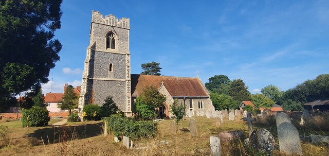
The area is known for its charming rural character, with quaint cottages and traditional English architecture defining the village's aesthetic. Aingers Green is home to a close-knit community, where neighbors often engage in friendly interactions, fostering a strong sense of camaraderie.

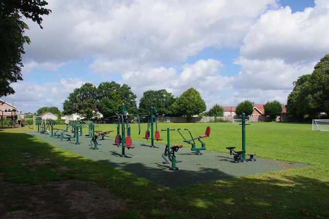
Despite its small size, the village boasts several essential facilities. Aingers Green has a local primary school, providing education opportunities for the younger population. Additionally, a village hall serves as a center for community gatherings, hosting various events throughout the year.

For amenities and services beyond those available within the village, residents can easily access nearby towns and cities. The larger town of Clacton-on-Sea lies just a short drive away, offering a wider range of shops, supermarkets, and recreational opportunities.

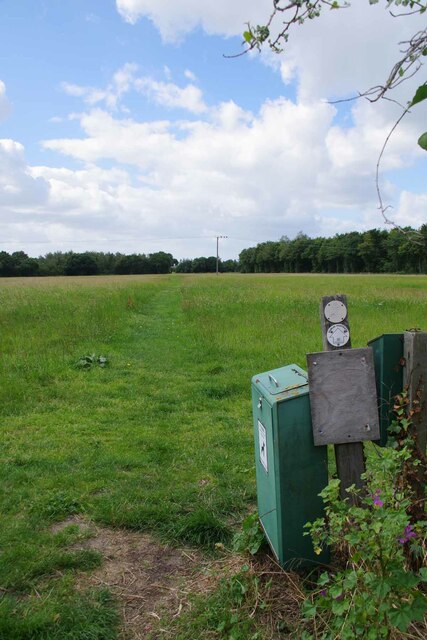
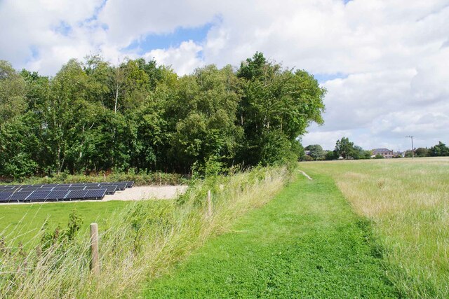
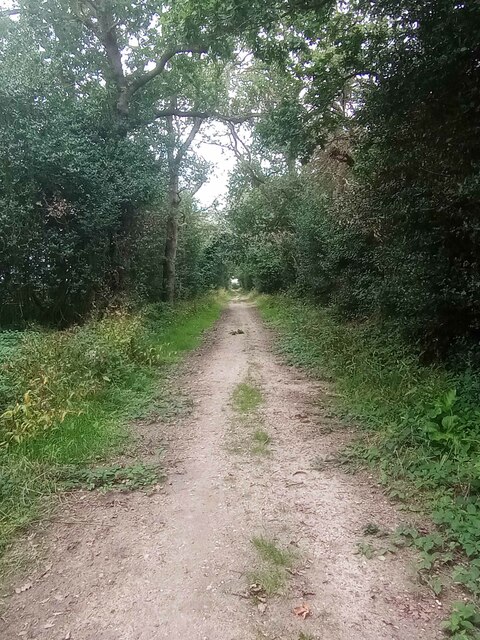
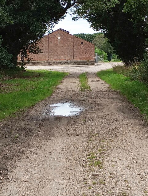
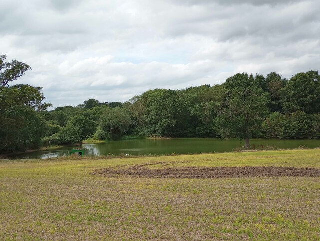
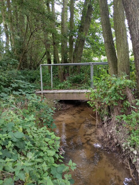
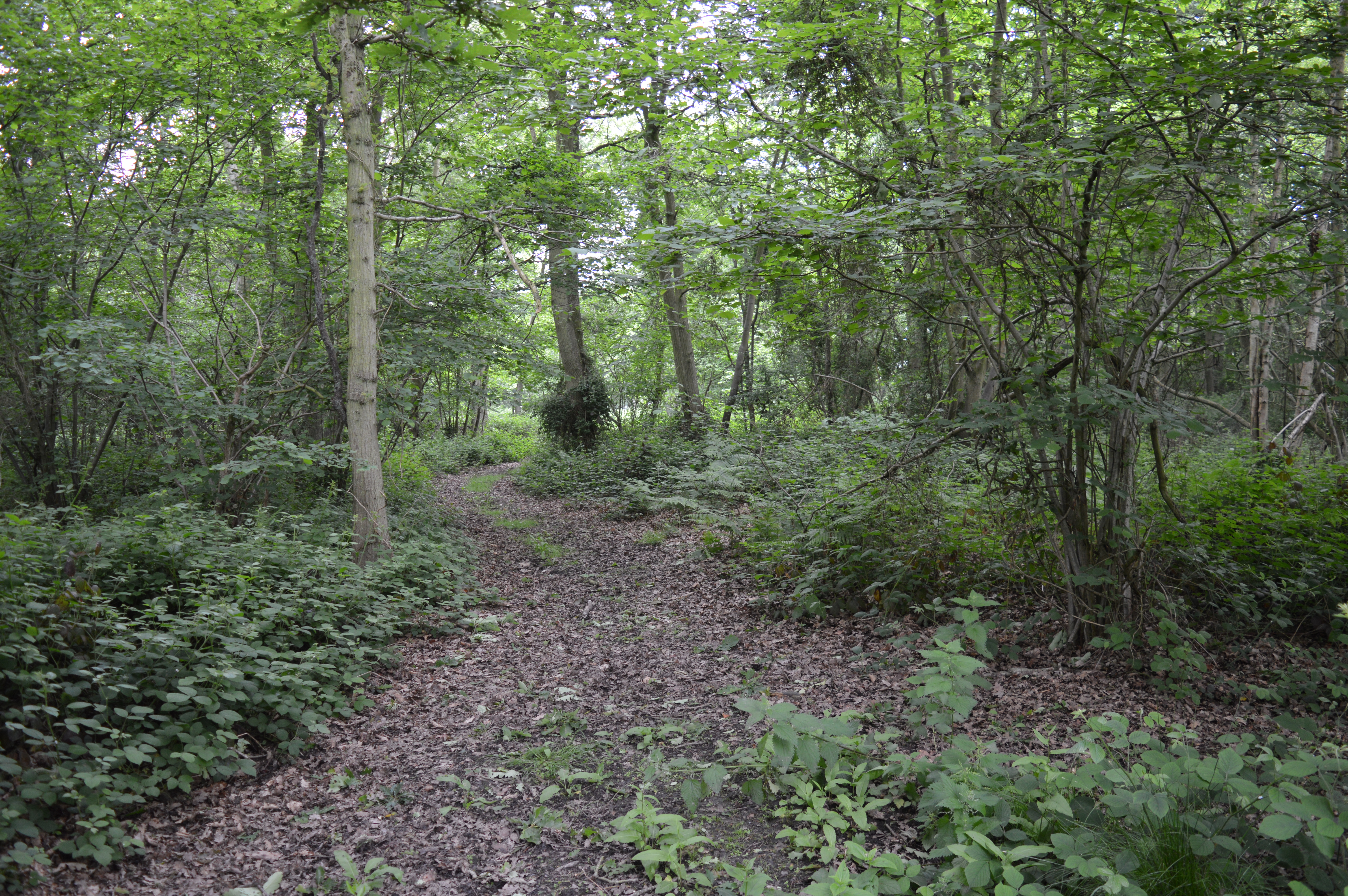
Nature enthusiasts can enjoy the beautiful surroundings of Aingers Green, with numerous walking trails and green spaces in the vicinity. The village is ideally located for those looking to explore the Essex countryside, with nearby attractions including the Tendring Peninsula and the Essex Way walking route.

Overall, Aingers Green offers a charming and idyllic countryside lifestyle, perfect for those seeking tranquility while still being within reach of larger urban centers.

If you have any feedback on the listing, please let us know in the comments section below.

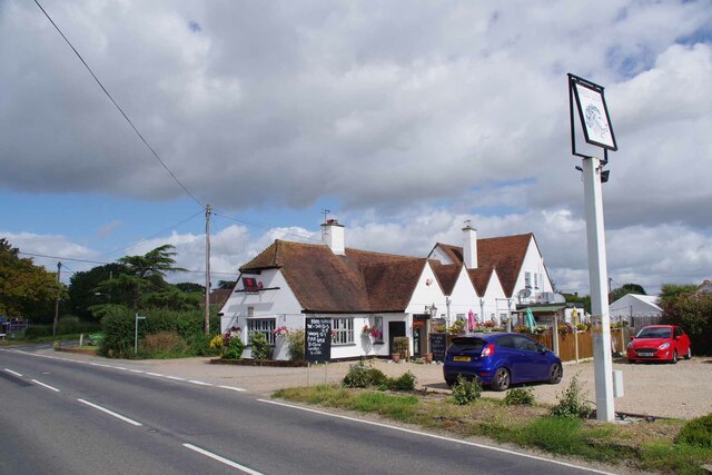
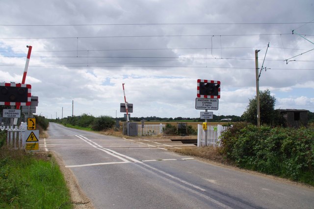
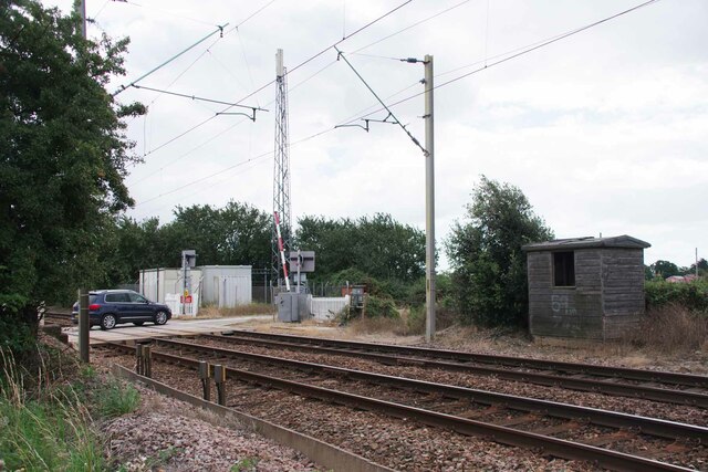
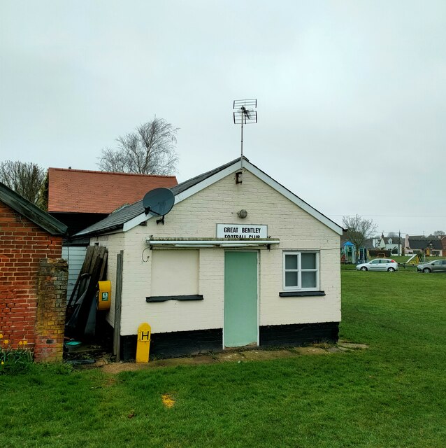
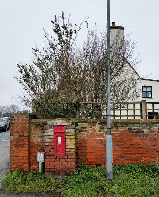
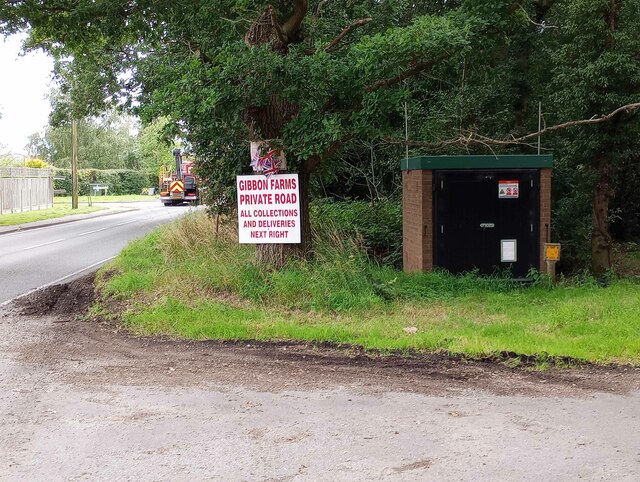
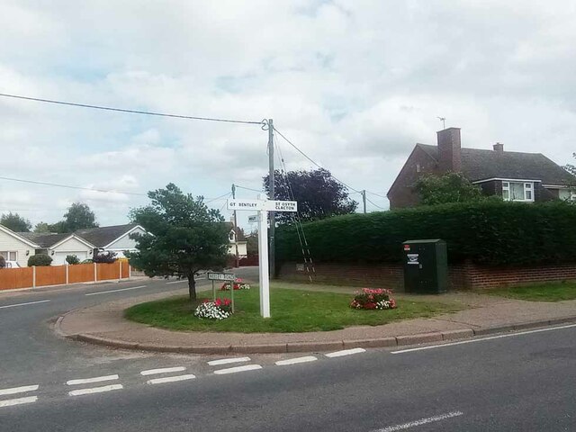
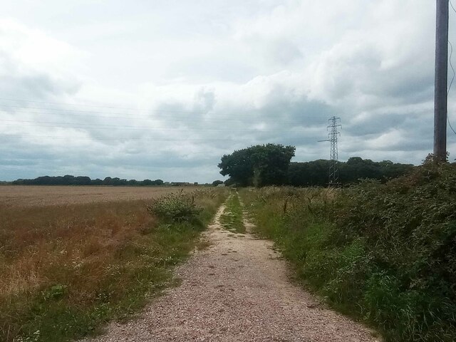
Aingers Green Images

Images are sourced within 2km of 51.840843/1.067974 or Grid Reference TM1120. Thanks to Geograph Open Source API. All images are credited.

St Mary Magdalene church and churchyard, Thorrington
Thorrington Footpath 8 Looking towards Brightlingsea.
Thorrington Footpath 8
Looking towards Brightlingsea.
Thorrington Footpath 12 by Glebe Farm
Thorrington Village Hall On the wall is <a href="https://www.geograph.org.uk/photo/7570814">TM0920 : Thorrington War Memorial</a>
Thorrington Village Hall
Thorrington War Memorial This is attached to <a href="https://www.geograph.org.uk/photo/7570806">TM0920 : Thorrington Village Hall</a>
Thorrington War Memorial
This is attached to TM0920 : Thorrington Village Hall
Thorrington Recreation Ground The adult play area!
Thorrington Recreation Ground
The adult play area!
The Red Lion Thorrington Not quite opening time.
The Red Lion Thorrington
Not quite opening time.
Frating Road Crossining Looking towards the B1027.
Frating Road Crossining
Looking towards the B1027.
Old Platelayer's Hut by Frating Road Crossing Looking towards <a href="https://www.geograph.org.uk/photo/7570891">TM0921 : Frating Road Crossining</a>.
Old Platelayer's Hut by Frating Road Crossing
Great Bentley Football Club
Victorian Letter Box, Great Bently Post boxes come in many forms from free standing pillar boxes to those built into walls. The monarch's cypher is always present to give an indication of age.
In the British Isles the first red pillar post boxes were erected in Jersey in 1852. Roadside wall boxes first appeared in 1857 as a cheaper alternative to pillar boxes, especially in rural districts. In 1853 the first pillar box in the United Kingdom was installed at Botchergate, Carlisle. In 1856, Richard Redgrave of the Department of Science and Art designed an ornate pillar box for use in London and other large cities. In 1859 the design was improved, and this became the first National Standard pillar box. Green was adopted as the standard colour for the early Victorian post boxes. Between 1866 and 1879 the hexagonal Penfold post box became the standard design for pillar boxes and it was during this period that red was first adopted as the standard colour. The first boxes to be painted red were in London in July 1874, although it would be nearly 10 years before all the boxes had been repainted.(excerpt from Wikipedia)
Victorian Letter Box, Great Bently
Post boxes come in many forms from free standing pillar boxes to those built into walls. The monarch's cypher is always present to give an indication of age. In the British Isles the first red pillar post boxes were erected in Jersey in 1852. Roadside wall boxes first appeared in 1857 as a cheaper alternative to pillar boxes, especially in rural districts. In 1853 the first pillar box in the United Kingdom was installed at Botchergate, Carlisle. In 1856, Richard Redgrave of the Department of Science and Art designed an ornate pillar box for use in London and other large cities. In 1859 the design was improved, and this became the first National Standard pillar box. Green was adopted as the standard colour for the early Victorian post boxes. Between 1866 and 1879 the hexagonal Penfold post box became the standard design for pillar boxes and it was during this period that red was first adopted as the standard colour. The first boxes to be painted red were in London in July 1874, although it would be nearly 10 years before all the boxes had been repainted.(excerpt from Wikipedia)
Gas Valve in Aingers Green The ID plate on the door gives the What Three Words as Detonated.Ruins.Employers. Strangely that is not what my phone said. However if I inputted the code the map showed the correct location. I feel much safer with OS grid refs!
Gas Valve in Aingers Green
The ID plate on the door gives the What Three Words as Detonated.Ruins.Employers. Strangely that is not what my phone said. However if I inputted the code the map showed the correct location. I feel much safer with OS grid refs!
Plough Rd Wheeley Rd Junction Looking across Plough Rd.
Plough Rd Wheeley Rd Junction
Looking across Plough Rd.
Great Bentley Footpath 13 Looking from Angers Green towards Thorrington.
Great Bentley Footpath 13
Looking from Angers Green towards Thorrington.
Footpath Through Lodge Plantation Further along <a href="https://www.geograph.org.uk/photo/7570720">TM1120 : Great Bentley Footpath 13</a>
Footpath Through Lodge Plantation
Farm Track to High Barn Taken from <a href="https://www.geograph.org.uk/photo/7570720">TM1120 : Great Bentley Footpath 13</a>
Farm Track to High Barn
Farm Reservoir Near Frating Abbey Taken from Great Bentley Footpath 13.
Farm Reservoir Near Frating Abbey
Taken from Great Bentley Footpath 13.
Footbridge Over Bentley Brook The bridge carries Great Bentley footpath 13 half way over the brook it then becomes Thorrington Footpath 5. Taken looking upstream.
Footbridge Over Bentley Brook
The bridge carries Great Bentley footpath 13 half way over the brook it then becomes Thorrington Footpath 5. Taken looking upstream.
Show me another place!

Aingers Green is located at Grid Ref: TM1120 (Lat: 51.840843, Lng: 1.067974)

Administrative County: Essex

District: Tendring

Police Authority: Essex

What 3 Words

///lifts.roadshow.sting. Near Great Bentley, Essex

Related Wikis

Nearby Amenities

Located within 500m of 51.840843,1.067974
Aingers Green
Place: village
Wikidata: Q2167681
Lat/Long: 51.8423111/1.0735308
Bus Stop
Aingers Green Road
Bus: yes
Naptan AtcoCode: 150032003003
Naptan Bearing: W
Naptan BusStopType: CUS
Naptan CommonName: Aingers Green Road
Naptan Crossing: St. Mary's Road
Naptan Indicator: W-bound
Naptan Landmark: Aingers Green Road
Naptan NaptanCode: esxgdgat
Naptan Status: ina
Naptan Street: Aingers Green Road
Naptan Verified: no
Public Transport: platform
Source: naptan_import
Lat/Long: 51.8422204/1.0725292
Power: tower
Source: OS_OpenData_VectorDistrict
Lat/Long: 51.8437036/1.0651975
Power: tower
Source: OS_OpenData_VectorDistrict
Lat/Long: 51.8398958/1.0723772
Power: tower
Source: OS_OpenData_VectorDistrict
Lat/Long: 51.8435874/1.0622861
Power: tower
Source: OS_OpenData_VectorDistrict
Lat/Long: 51.842368/1.0677466
Addr City: Colchester
Addr Housename: The Hayloft
Addr Postcode: CO7 8NJ
Addr Street: St Mary's Road
Addr Suburb: Aingers Green
Addr Village: Great Bentley
Guest House: self_catering
Tourism: chalet
Website: https://carpentersfarmholidays.co.uk/hayloft-cottage/
Lat/Long: 51.8389184/1.0723559
Fixme: check ref
Note: possibly ref 59 - handwriting unclear
Power: tower
Ref: 39
Source: survey
Lat/Long: 51.8410369/1.0701866
Bus Stop
Aingers Green Road
Bus: yes
Naptan AtcoCode: 1500320030Y3
Naptan Bearing: E
Naptan BusStopType: CUS
Naptan CommonName: Aingers Green Road
Naptan Crossing: St. Mary's Road
Naptan Indicator: E-bound
Naptan Landmark: Aingers Green Road
Naptan NaptanCode: esxgtdwm
Naptan Status: ina
Naptan Street: Aingers Green Road
Naptan Verified: no
Public Transport: platform
Source: naptan_import
Lat/Long: 51.8423338/1.0729714
Bus Stop
Plough Road
Bus: yes
Naptan AtcoCode: 1500IM1420AA
Naptan Bearing: N
Naptan BusStopType: CUS
Naptan CommonName: Plough Road
Naptan Crossing: Plough Road
Naptan Indicator: From
Naptan Landmark: Plough Road
Naptan NaptanCode: esxgpgpt
Naptan Street: St. Mary's Road
Naptan Verified: no
Public Transport: platform
Source: naptan_import
Lat/Long: 51.8392359/1.071571
Bus Stop
Plough Road
Bus: yes
Naptan AtcoCode: 1500IM1420
Naptan Bearing: S
Naptan BusStopType: CUS
Naptan CommonName: Plough Road
Naptan Crossing: Plough Road
Naptan Indicator: Towards
Naptan Landmark: Plough Road
Naptan NaptanCode: esxadjmt
Naptan Street: St. Mary's Road
Naptan Verified: no
Public Transport: platform
Source: naptan_import
Lat/Long: 51.839448/1.0718196
Post Box
Mapillary: 380980849881460
Post Box Mounting: pier
Post Box Type: lamp
Postal Code: CO7 8NH
Ref: CO7 80
Survey Date: 2021-04-10
Lat/Long: 51.842407/1.0735061
Bus Stop
The Oaks
Bus: yes
Naptan AtcoCode: 150032003993
Naptan Bearing: S
Naptan CommonName: The Oaks
Naptan Indicator: S-bound
Naptan NaptanCode: esxjpdgp
Naptan Street: St. Mary's Road
Naptan Verified: no
Public Transport: platform
Source: naptan_import
Lat/Long: 51.840444/1.0724427
Bus Stop
Weeley Road
Bus: yes
Naptan AtcoCode: 150023003994
Naptan Bearing: S
Naptan CommonName: Weeley Road
Naptan Crossing: Weeley Road
Naptan Indicator: opp
Naptan NaptanCode: esxjpdgw
Naptan Street: St. Mary's Road
Naptan Verified: no
Public Transport: platform
Source: naptan_import
Lat/Long: 51.8419206/1.0734145
Bus Stop
Weeley Road
Bus: yes
Naptan AtcoCode: 1500320039Y4
Naptan BusStopType: CUS
Naptan NaptanCode: esxjpdja
Naptan Verified: no
Public Transport: platform
Source: naptan_import
Lat/Long: 51.8419764/1.0733457
Bus Stop
The Oaks
Bus: yes
Naptan AtcoCode: 1500320039Y9
Naptan NaptanCode: esxjpdgt
Naptan Verified: no
Public Transport: platform
Source: naptan_import
Lat/Long: 51.8404912/1.0723588
Bus Stop
The Paddocks
Bus: yes
Naptan AtcoCode: 150032003946
Naptan BusStopType: CUS
Naptan NaptanCode: esxjpaja
Naptan Verified: no
Public Transport: platform
Lat/Long: 51.8408743/1.0700934
Colour: yellow
Marker: post
Material: plastic
Utility: gas
Lat/Long: 51.8370784/1.0718106
Direction: 270
Generator Method: photovoltaic
Generator Output Electricity: yes
Generator Solar Modules: 10
Generator Source: solar
Generator Type: solar_photovoltaic_panel
Location: roof
Power: generator
Lat/Long: 51.8409565/1.0724223
Information: board
Tourism: information
Lat/Long: 51.8423966/1.0734603
Waste Basket
Lat/Long: 51.842402/1.0734831
Direction: 165
Generator Method: photovoltaic
Generator Output Electricity: yes
Generator Solar Modules: 16
Generator Source: solar
Generator Type: solar_photovoltaic_panel
Location: roof
Power: generator
Lat/Long: 51.8409226/1.0709303
Direction: 165
Generator Method: photovoltaic
Generator Output Electricity: yes
Generator Solar Modules: 12
Generator Source: solar
Generator Type: solar_photovoltaic_panel
Location: roof
Power: generator
Lat/Long: 51.8419583/1.0714379
Direction: 95
Generator Method: photovoltaic
Generator Output Electricity: yes
Generator Solar Modules: 9
Generator Source: solar
Generator Type: solar_photovoltaic_panel
Location: roof
Power: generator
Lat/Long: 51.8416998/1.073004
Direction: 275
Generator Method: photovoltaic
Generator Output Electricity: yes
Generator Solar Modules: 9
Generator Source: solar
Generator Type: solar_photovoltaic_panel
Location: roof
Power: generator
Lat/Long: 51.8417006/1.0729262
The data included in this document is from www.openstreetmap.org. The data is made available under ODbL.

Have you been to Aingers Green?

Leave your review of Aingers Green below (or comments, questions and feedback).