Thanington

Settlement in Kent Canterbury

England

Thanington

Golden Hill The view from the National Trust owned 'Golden Hill'
Golden Hill Credit: Ben Charlton

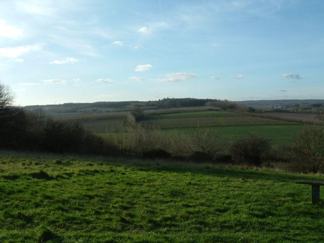
Thanington is a small village located in the county of Kent in southeastern England. Situated just over two miles east of the historic city of Canterbury, Thanington is nestled amidst the picturesque countryside and offers a peaceful and idyllic setting for its residents.

The village is primarily residential, with a population of around 3,500 people. It is known for its quaint and charming atmosphere, featuring a mix of traditional cottages and modern homes. The community is close-knit and fosters a strong sense of belonging.

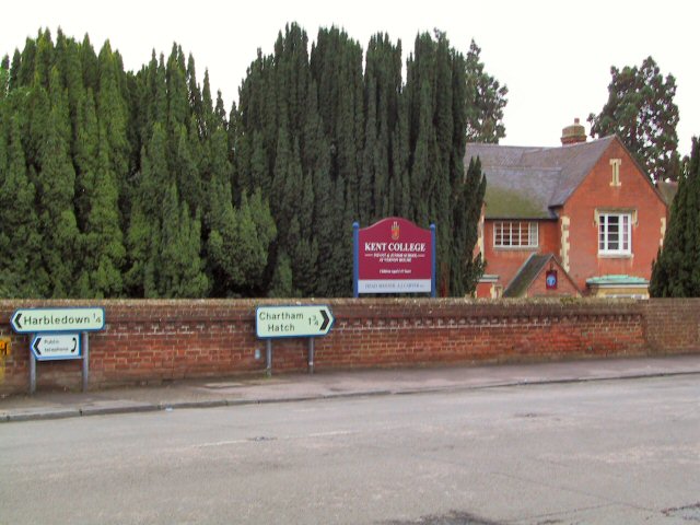
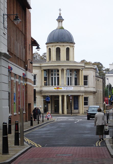
Thanington benefits from its proximity to Canterbury, which provides access to a wide range of amenities and services. The city is renowned for its rich history, with attractions such as Canterbury Cathedral, St Augustine's Abbey, and the Canterbury Tales museum drawing tourists from around the world. Thanington residents can easily explore these cultural landmarks and enjoy the vibrant city life while still enjoying the tranquility of their village.

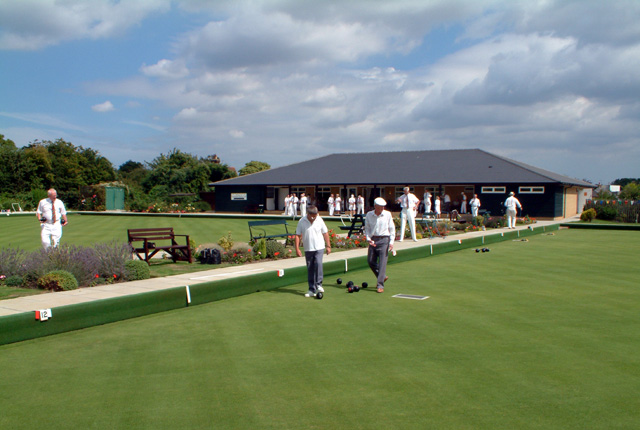
The village itself boasts a few amenities, including a local primary school, a convenience store, and a pub, ensuring that essential needs are met within the community. For more extensive shopping and recreational options, residents have convenient access to Canterbury, which offers a plethora of shops, restaurants, and leisure facilities.

Thanington benefits from excellent transport links, with the A28 road passing nearby, providing easy access to Canterbury and other nearby towns. The village also benefits from regular bus services, connecting residents to surrounding areas.

Overall, Thanington offers a desirable location for those seeking a peaceful village lifestyle while remaining close to the amenities and cultural offerings of a larger city.

If you have any feedback on the listing, please let us know in the comments section below.
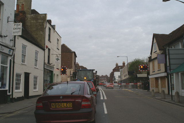
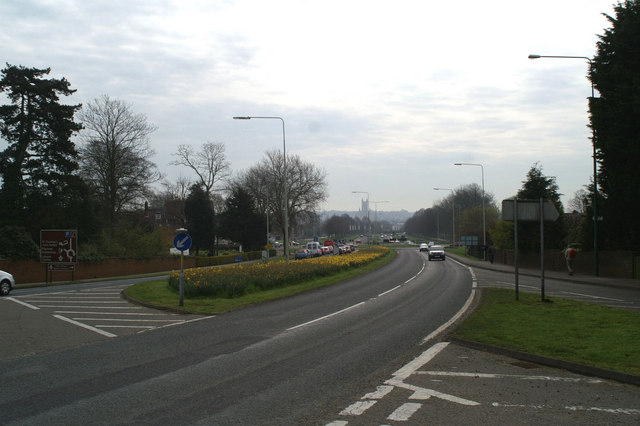
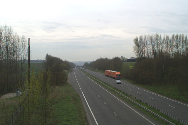
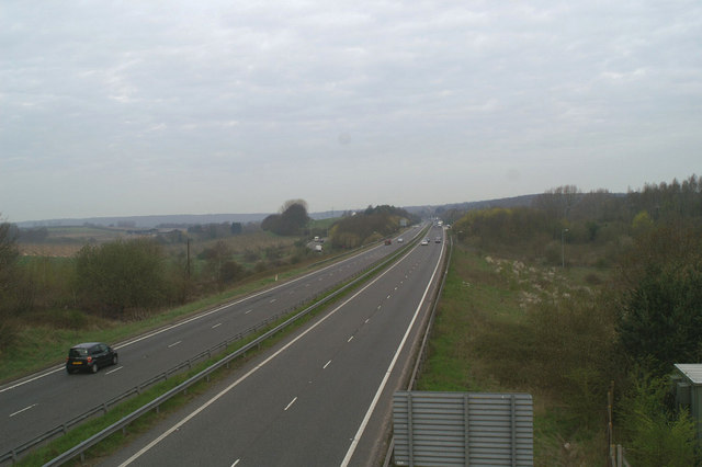
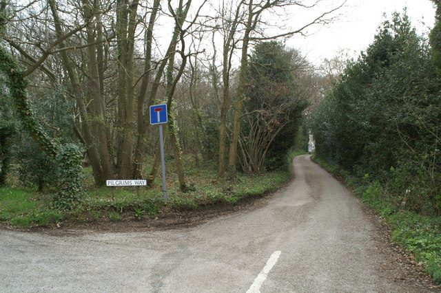
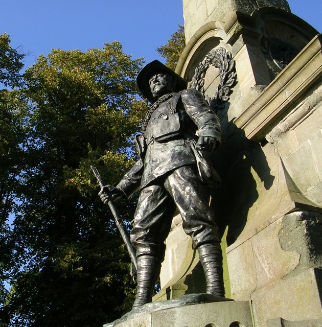
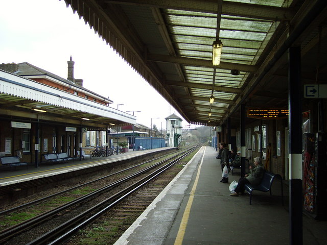
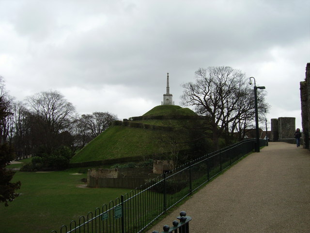
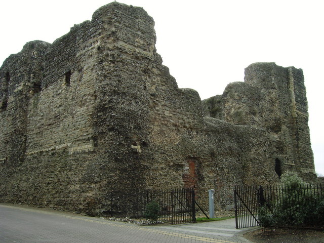
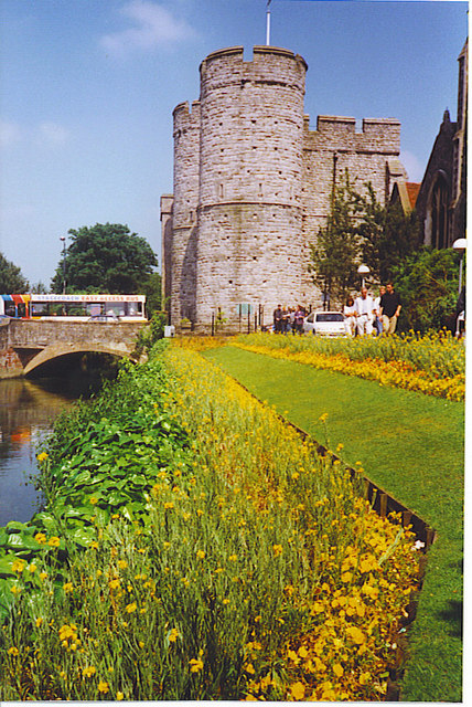
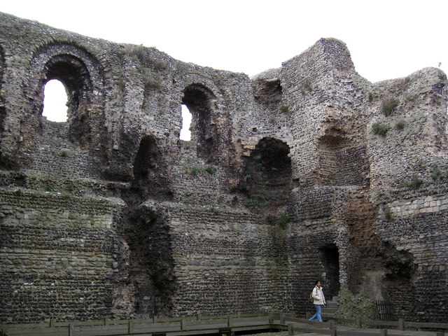
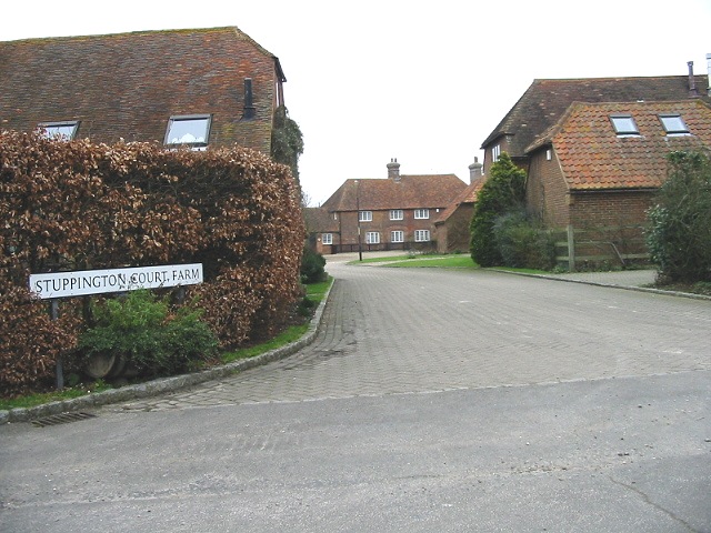
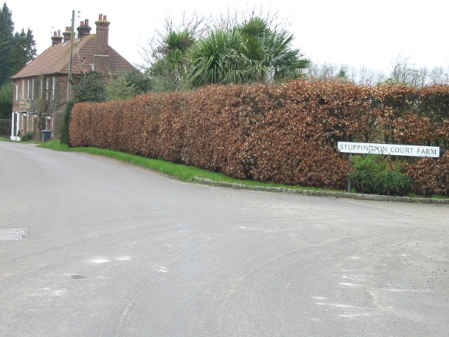
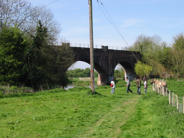
Thanington Images

Images are sourced within 2km of 51.267945/1.055045 or Grid Reference TR1356. Thanks to Geograph Open Source API. All images are credited.

Golden Hill The view from the National Trust owned 'Golden Hill'
Golden Hill
The view from the National Trust owned 'Golden Hill'
Canterbury Bowling Club The club was founded in the reign of Queen Victoria. This is the club's new site, in South Canterbury Road. It boasts two well-kept greens.
Canterbury Bowling Club
The club was founded in the reign of Queen Victoria. This is the club's new site, in South Canterbury Road. It boasts two well-kept greens.
Kent College Infants and Junior School at Kent College, Harbledown, just off the A2050 near Canterbury.
Kent College
Infants and Junior School at Kent College, Harbledown, just off the A2050 near Canterbury.
St Andrew's URC church, Canterbury Seen from Rose Lane looking SW. This is a recently built church and forms part of the Whitefriars redevelopment. It stands at the junction of Rose Lane and Marlowe Avenue with Watling Street.
St Andrew's URC church, Canterbury
Seen from Rose Lane looking SW. This is a recently built church and forms part of the Whitefriars redevelopment. It stands at the junction of Rose Lane and Marlowe Avenue with Watling Street.
Hold up on the A290 Canterbury West Station is to the right of the level crossing
Hold up on the A290
Canterbury West Station is to the right of the level crossing
Queuing to get onto the A2050 at Harbledown The A2050 replaced the section of the old A2 which ran through Canterbury. The new A2 by-passes the city altogether, to the West of here.
Queuing to get onto the A2050 at Harbledown
The A2050 replaced the section of the old A2 which ran through Canterbury. The new A2 by-passes the city altogether, to the West of here.
The pilgrims' view of Canterbury Cathedral The Pilgrim's Way comes down to meet the old A2 and its replacement A2050 below Harbledown hill, and the Cathedral lies straight ahead.
The pilgrims' view of Canterbury Cathedral
The Pilgrim's Way comes down to meet the old A2 and its replacement A2050 below Harbledown hill, and the Cathedral lies straight ahead.
The A2, by-passing Canterbury at Harbledown
The junction of the new A2 with the A2050 The A2050 replaced the section of the A2 which went through Canterbury city
The junction of the new A2 with the A2050
The A2050 replaced the section of the A2 which went through Canterbury city
The Pilgrims Way to the shrine of St. Thomas of Canterbury
South African War Memorial, Canterbury A memorial to the men who died during the South African War 1899-1902, mainly those of the East Kent Regiment, the 'Buffs'.
South African War Memorial, Canterbury
A memorial to the men who died during the South African War 1899-1902, mainly those of the East Kent Regiment, the 'Buffs'.
Canterbury East railway station Canterbury East railway station, on the line from Dover to London Victoria
Canterbury East railway station
Canterbury East railway station, on the line from Dover to London Victoria
Dane John Mound, Canterbury A monument in the Dane John Gardens, Canterbury
Dane John Mound, Canterbury
A monument in the Dane John Gardens, Canterbury
Canterbury Castle This magnificent ruined castle is located near Canterbury East railway station
Canterbury Castle
This magnificent ruined castle is located near Canterbury East railway station
West Gate This 14th Century gate by the Great Stour is the sole survivor of the city's seven gates. A museum, it offers good views of the cathedral over the rooftops.
West Gate
This 14th Century gate by the Great Stour is the sole survivor of the city's seven gates. A museum, it offers good views of the cathedral over the rooftops.
Inside of Canterbury Castle Canterbury Castle is situated by the Wincheap roundabout, at the junction of Pin Hill and Rheims Way. Its Keep was built early in the 12th century. It was once used as a prison and is now a ruin, as parts of it were demolished through the ages. Just a shell remains, but it can be entered at no charge and is worth a look.
Inside of Canterbury Castle
Canterbury Castle is situated by the Wincheap roundabout, at the junction of Pin Hill and Rheims Way. Its Keep was built early in the 12th century. It was once used as a prison and is now a ruin, as parts of it were demolished through the ages. Just a shell remains, but it can be entered at no charge and is worth a look.
Stuppington Court Farm
View looking W along Merton Lane
Show me another place!

Thanington is located at Grid Ref: TR1356 (Lat: 51.267945, Lng: 1.055045)

Administrative County: Kent

District: Canterbury

Police Authority: Kent

What 3 Words

///porch.early.loves. Near Canterbury, Kent

Nearby Locations

Thanington

Related Wikis

Thanington

Thanington is a civil parish on the west edge of Canterbury, Kent, United Kingdom. It extends to the south-west of A2 from Wincheap to the Milton Bridge...

Chartham

Chartham is a village and civil parish in the Canterbury district of Kent, England. It is situated on the Ashford side of the city, and is in the North...

Canterbury Parkway railway station

Canterbury Parkway railway station is a proposed interchange between the Ashford–Ramsgate line and the Chatham Main Line near Canterbury, Kent. == Location... ==

Whitehall Meadows

Whitehall Meadows is a 11.6-hectare (29-acre) Local Nature Reserve in Canterbury in Kent. It is owned and managed by Canterbury City Council.This wet...

Wincheap

Wincheap is a road and suburb in Canterbury, Kent, England. The road forms part of the A28 road, stretching for around 1 mile (1.6 km) from the city wall...

The Canterbury Academy

The Canterbury Academy is a co-educational 11-19 academy school in Canterbury, Kent, England. It is a specialist Sports College and 15% of its 1081 pupils...

Larkey Valley Wood

Larkey Valley Wood is a 44.1-hectare (109-acre) biological Site of Special Scientific Interest south of Canterbury in Kent. It is also a Local Nature Reserve...

Whitehall Dyke

Whitehall Dyke is a tributary of the Great Stour river in Kent, England. The stream runs from its source near Harbledown, 5.6 kilometres, to the Great...

Nearby Amenities

Located within 500m of 51.267945,1.055045
Traffic Signals
Lat/Long: 51.2698539/1.0588642
Turning Circle
Source: Bing
Lat/Long: 51.2685682/1.0523766
Post Box
Collection Times: Mo-Fr 09:00; Sa 07:00
Operator: Royal Mail
Post Box Type: wall
Postal Code: CT1
Ref: CT1 212
Royal Cypher: EIIR
Royal Cypher Wikidata: Q33102113
Source: survey
Lat/Long: 51.2697702/1.0587426
Turning Circle
Source: Bing
Lat/Long: 51.2691512/1.0609654
Post Box
Collection Times: Mo-Fr 09:00; Sa 07:00
Postal Code: CT1
Ref: CT1 373
Royal Cypher: EIIR
Royal Cypher Wikidata: Q33102113
Source: survey
Lat/Long: 51.2657947/1.0554358
Post Box
Operator: Royal Mail
Post Box Type: pillar
Postal Code: CT1
Ref: CT1 255
Royal Cypher: GR
Royal Cypher Wikidata: Q33102273
Source: survey
Lat/Long: 51.2699891/1.0537568
Bus Stop
Godwin Road
Flag: no
Naptan AtcoCode: 2400100651
Naptan Bearing: SW
Naptan BusStopType: CUS
Naptan CommonName: Godwin Road
Naptan Indicator: opp
Naptan Landmark: Godwin Road
Naptan Street: Cockering Road
Naptan Verified: no
Public Transport: platform
Source: naptan_import
Lat/Long: 51.2670334/1.0588569
Bus Stop
Strangers Lane
Flag: no
Naptan AtcoCode: 2400100653
Naptan Bearing: SW
Naptan BusStopType: CUS
Naptan CommonName: Strangers Lane
Naptan Indicator: opp
Naptan Landmark: Strangers Lane
Naptan Street: Cockering Road
Naptan Verified: no
Public Transport: platform
Source: naptan_import
Lat/Long: 51.2659907/1.0563114
Bus Stop
St Nicholas Church
Bench: no
Bin: no
Naptan AtcoCode: 2400100787
Naptan Bearing: W
Naptan CommonName: St Nicholas Church
Naptan Indicator: Opp
Naptan Landmark: St Nicholas Church
Naptan NaptanCode: kntjajpa
Naptan Street: Thanington Road
Naptan Verified: no
Shelter: no
Source: naptan_import
Lat/Long: 51.2698417/1.0545454
Bus Stop
Neighbourhood Centre
Fixme: this area has been remodelled and the bus stops have probably moved
Naptan AtcoCode: 2400A039430A
Naptan Bearing: W
Naptan CommonName: Neighbourhood Centre
Naptan Indicator: opp
Naptan Landmark: Neighbourhood Centre
Naptan NaptanCode: kntdpmgj
Naptan PlusbusZoneRef: CNTBE
Naptan Street: Thanington Rd
Naptan Verified: no
Source: naptan_import
Lat/Long: 51.2697687/1.0600897
Bus Stop
Ashenden Close
Naptan AtcoCode: 2400A039440A
Naptan Bearing: S
Naptan CommonName: Ashenden Close
Naptan Indicator: opp
Naptan Landmark: Ashenden Close
Naptan NaptanCode: kntdpmgm
Naptan PlusbusZoneRef: CNTBE
Naptan Street: Strangers Lane
Naptan Verified: no
Source: naptan_import
Lat/Long: 51.2673366/1.0553867
Bus Stop
Stranger's Lane
Bench: no
Bin: no
Lit: yes
Naptan AtcoCode: 2400A039450A
Naptan Bearing: NE
Naptan CommonName: Stranger's Lane
Naptan Indicator: adj
Naptan Landmark: Stranger's Lane
Naptan NaptanCode: kntdpmgp
Naptan PlusbusZoneRef: CNTBE
Naptan Street: Cockering Road
Naptan Verified: no
Shelter: no
Source: naptan_import
Tactile Paving: no
Lat/Long: 51.2661774/1.0563955
Bus Stop
Godwin Road
Naptan AtcoCode: 2400A039460A
Naptan Bearing: NE
Naptan CommonName: Godwin Road
Naptan Indicator: adj
Naptan Landmark: Godwin Road
Naptan NaptanCode: kntdpmgt
Naptan PlusbusZoneRef: CNTBE
Naptan Street: Cockering Road
Naptan Verified: no
Source: naptan_import
Lat/Long: 51.2670633/1.058816
Bus Stop
St Nicholas Road
Bench: no
Bin: no
Lit: yes
Naptan AtcoCode: 2400A039470A
Naptan Bearing: NW
Naptan CommonName: St Nicholas Road
Naptan Indicator: NW-bound
Naptan Landmark: Ingoldsby Road
Naptan NaptanCode: kntdpmgw
Naptan PlusbusZoneRef: CNTBE
Naptan Street: St Nicholas Road
Naptan Verified: no
Shelter: no
Source: naptan_import
Tactile Paving: no
Lat/Long: 51.2694118/1.0589475
Bus Stop
St Nicholas Road
Bench: no
Bin: no
Lit: yes
Naptan AtcoCode: 2400A039480A
Naptan Bearing: SE
Naptan CommonName: St Nicholas Road
Naptan Indicator: SE-bound
Naptan Landmark: Ingoldsby Road
Naptan NaptanCode: kntdpmja
Naptan PlusbusZoneRef: CNTBE
Naptan Street: St Nicholas Rd
Naptan Verified: no
Shelter: no
Source: naptan_import
Tactile Paving: no
Lat/Long: 51.2685225/1.059591
Bus Stop
Ashenden Close
Bench: no
Bin: no
Lit: yes
Naptan AtcoCode: 2400A039490A
Naptan Bearing: N
Naptan CommonName: Ashenden Close
Naptan Indicator: adj
Naptan Landmark: Cockering Road
Naptan NaptanCode: kntdpmjd
Naptan PlusbusZoneRef: CNTBE
Naptan Street: Stranger's Lane
Naptan Verified: no
Shelter: no
Source: naptan_import
Tactile Paving: no
Lat/Long: 51.2666024/1.0552767
Bus Stop
Bramley Avenue
Bench: no
Bin: yes
Naptan AtcoCode: 2400A039500A
Naptan Bearing: N
Naptan CommonName: Bramley Avenue
Naptan Indicator: adj
Naptan Landmark: Thanington Road
Naptan NaptanCode: kntdpmjg
Naptan PlusbusZoneRef: CNTBE
Naptan Street: Stranger's Lane
Naptan Verified: no
Shelter: no
Source: naptan_import
Lat/Long: 51.2695584/1.0540247
Bus Stop
St Nicholas Church
Bench: no
Bin: no
Lit: yes
Naptan AtcoCode: 2400A039510A
Naptan Bearing: W
Naptan CommonName: St Nicholas Church
Naptan Indicator: W-bound
Naptan Landmark: Tonford Lane
Naptan NaptanCode: kntdpmjm
Naptan PlusbusZoneRef: CNTBE
Naptan Street: Ashford Road
Naptan Verified: no
Shelter: no
Source: naptan_import
Tactile Paving: no
Lat/Long: 51.2697702/1.0531497
Bus Stop
Chalklands
Bench: no
Bin: no
Flag: no
Lit: yes
Naptan AtcoCode: 2400A039520A
Naptan Bearing: SW
Naptan BusStopType: CUS
Naptan CommonName: Chalklands
Naptan Indicator: SW-bound
Naptan Landmark: Warren Lodge
Naptan NaptanCode: kntdpmjp
Naptan PlusbusZoneRef: CNTBE
Naptan Street: Ashford Road
Naptan Verified: no
Public Transport: platform
Shelter: no
Source: naptan_import
Tactile Paving: no
Lat/Long: 51.2691788/1.0489236
Bus Stop
Chalklands
Bench: no
Bin: no
Lit: yes
Naptan AtcoCode: 2400A039530A
Naptan Bearing: NE
Naptan CommonName: Chalklands
Naptan Indicator: NE-bound
Naptan NaptanCode: kntdpmjt
Naptan PlusbusZoneRef: CNTBE
Naptan Street: Ashford Road
Naptan Verified: no
Shelter: no
Source: naptan_import
Tactile Paving: no
Lat/Long: 51.2692922/1.0490602
Bus Stop
St Nicholas Church
Bench: no
Bin: yes
Lit: yes
Naptan AtcoCode: 2400A039540A
Naptan Bearing: E
Naptan CommonName: St Nicholas Church
Naptan Indicator: E-bound
Naptan Landmark: Tonford Lane
Naptan NaptanCode: kntdpmjw
Naptan PlusbusZoneRef: CNTBE
Naptan Street: Ashford Road
Naptan Verified: no
Shelter: no
Source: naptan_import
Tactile Paving: no
Lat/Long: 51.269821/1.0525796
Bus Stop
Neighbourhood Centre
Bench: no
Bin: no
Fixme: this area has been remodelled and the bus stops have probably moved
Naptan AtcoCode: 2400A039550A
Naptan Bearing: E
Naptan CommonName: Neighbourhood Centre
Naptan Indicator: adj
Naptan Landmark: Neighbourhood Centre
Naptan NaptanCode: kntdpmpa
Naptan PlusbusZoneRef: CNTBE
Naptan Street: Thanington Rd
Naptan Verified: no
Shelter: no
Source: naptan_import
Lat/Long: 51.2699229/1.0603867
Turning Circle
Source: Bing
Lat/Long: 51.2688788/1.0618955
Material: wood
Power: pole
Lat/Long: 51.2707971/1.0527356
Material: wood
Power: pole
Lat/Long: 51.2715338/1.0517378
Material: wood
Power: pole
Lat/Long: 51.2715979/1.0527384
Crossing
Crossing: traffic_signals
Crossing Island: yes
Crossing Ref: pelican
Tactile Paving: yes
Lat/Long: 51.269869/1.0581107
Bicycle Parking
Bicycle Parking: stands
Capacity: 6
Check Date Capacity: 2024-01-20
Colour: aquamarine
Covered: yes
Cyclestreets Id: 44858
Material: metal
Lat/Long: 51.2701905/1.0583738
Crossing
Crossing: traffic_signals
Crossing Island: no
Tactile Paving: yes
Lat/Long: 51.2697398/1.0614008
Recycling
Location: overground
Operator: Lord Whisky Sanctuary Fund
Recycling Clothes: yes
Recycling Shoes: yes
Recycling Type: container
Lat/Long: 51.2700093/1.0589762
Crossing
Crossing: traffic_signals
Tactile Paving: yes
Lat/Long: 51.2698772/1.0598604
Man Made: monitoring_station
Monitoring Traffic: induction_loop
Vehicle: yes
Lat/Long: 51.2699114/1.0564695
Information: board
Tourism: information
Lat/Long: 51.2699848/1.0538064
Grit Bin
Lat/Long: 51.2699999/1.0537112
Generator Method: photovoltaic
Generator Orientation: 197
Generator Output Electricity: yes
Generator Solar Modules: 16
Generator Source: solar
Generator Type: solar_photovoltaic_panel
Location: roof
Power: generator
Lat/Long: 51.2706116/1.0513374
Generator Method: photovoltaic
Generator Orientation: 157
Generator Output Electricity: yes
Generator Solar Modules: 10
Generator Source: solar
Generator Type: solar_photovoltaic_panel
Location: roof
Power: generator
Lat/Long: 51.2683595/1.0610443
Generator Method: photovoltaic
Generator Orientation: 183
Generator Output Electricity: yes
Generator Solar Modules: 12
Generator Source: solar
Generator Type: solar_photovoltaic_panel
Location: roof
Power: generator
Lat/Long: 51.2697096/1.0572209
Generator Method: photovoltaic
Generator Orientation: 92
Generator Output Electricity: yes
Generator Solar Modules: 8
Generator Source: solar
Generator Type: solar_photovoltaic_panel
Location: roof
Power: generator
Lat/Long: 51.2694252/1.0548109
Generator Method: photovoltaic
Generator Orientation: 242
Generator Output Electricity: yes
Generator Solar Modules: 10
Generator Source: solar
Generator Type: solar_photovoltaic_panel
Location: roof
Power: generator
Lat/Long: 51.2654487/1.0540625
Generator Method: photovoltaic
Generator Orientation: 62
Generator Output Electricity: yes
Generator Solar Modules: 10
Generator Source: solar
Generator Type: solar_photovoltaic_panel
Location: roof
Power: generator
Lat/Long: 51.2654671/1.0541188
Generator Method: photovoltaic
Generator Orientation: 161
Generator Output Electricity: yes
Generator Solar Modules: 10
Generator Source: solar
Generator Type: solar_photovoltaic_panel
Location: roof
Power: generator
Lat/Long: 51.2669386/1.0540377
Generator Method: photovoltaic
Generator Orientation: 153
Generator Output Electricity: yes
Generator Solar Modules: 15
Generator Source: solar
Generator Type: solar_photovoltaic_panel
Location: roof
Power: generator
Lat/Long: 51.2672301/1.0578431
Generator Method: photovoltaic
Generator Orientation: 161
Generator Output Electricity: yes
Generator Solar Modules: 14
Generator Source: solar
Generator Type: solar_photovoltaic_panel
Location: roof
Power: generator
Lat/Long: 51.2688198/1.0556672
Generator Method: photovoltaic
Generator Orientation: 163
Generator Output Electricity: yes
Generator Solar Modules: 10
Generator Source: solar
Generator Type: solar_photovoltaic_panel
Location: roof
Power: generator
Lat/Long: 51.269572/1.0529655
Generator Method: photovoltaic
Generator Orientation: 186
Generator Output Electricity: yes
Generator Solar Modules: 12
Generator Source: solar
Generator Type: solar_photovoltaic_panel
Location: roof
Power: generator
Lat/Long: 51.266203/1.0558851
Generator Method: photovoltaic
Generator Orientation: 161
Generator Output Electricity: yes
Generator Solar Modules: 12
Generator Source: solar
Generator Type: solar_photovoltaic_panel
Location: roof
Power: generator
Lat/Long: 51.2690892/1.0556417
Generator Method: photovoltaic
Generator Orientation: 161
Generator Output Electricity: yes
Generator Solar Modules: 12
Generator Source: solar
Generator Type: solar_photovoltaic_panel
Location: roof
Power: generator
Lat/Long: 51.266952/1.0541725
Generator Method: photovoltaic
Generator Orientation: 248
Generator Output Electricity: yes
Generator Solar Modules: 10
Generator Source: solar
Generator Type: solar_photovoltaic_panel
Location: roof
Power: generator
Lat/Long: 51.2674617/1.0528442
Generator Method: photovoltaic
Generator Orientation: 237
Generator Output Electricity: yes
Generator Solar Modules: 8
Generator Source: solar
Generator Type: solar_photovoltaic_panel
Location: roof
Power: generator
Lat/Long: 51.2655804/1.0557524
Generator Method: photovoltaic
Generator Orientation: 147
Generator Output Electricity: yes
Generator Solar Modules: 6
Generator Source: solar
Generator Type: solar_photovoltaic_panel
Location: roof
Power: generator
Lat/Long: 51.2655679/1.0558127
Generator Method: photovoltaic
Generator Orientation: 151
Generator Output Electricity: yes
Generator Solar Modules: 3
Generator Source: solar
Generator Type: solar_photovoltaic_panel
Location: roof
Power: generator
Lat/Long: 51.2643808/1.0527188
Generator Method: photovoltaic
Generator Orientation: 341
Generator Output Electricity: yes
Generator Solar Modules: 6
Generator Source: solar
Generator Type: solar_photovoltaic_panel
Location: roof
Power: generator
Lat/Long: 51.2669683/1.0540209
Generator Method: photovoltaic
Generator Orientation: 153
Generator Output Electricity: yes
Generator Solar Modules: 12
Generator Source: solar
Generator Type: solar_photovoltaic_panel
Location: roof
Power: generator
Lat/Long: 51.2671404/1.0574944
Generator Method: photovoltaic
Generator Orientation: 249
Generator Output Electricity: yes
Generator Solar Modules: 8
Generator Source: solar
Generator Type: solar_photovoltaic_panel
Location: roof
Power: generator
Lat/Long: 51.2683205/1.0569043
Generator Method: photovoltaic
Generator Orientation: 180
Generator Output Electricity: yes
Generator Solar Modules: 14
Generator Source: solar
Generator Type: solar_photovoltaic_panel
Location: roof
Power: generator
Lat/Long: 51.2691835/1.0546902
Generator Method: photovoltaic
Generator Orientation: 157
Generator Output Electricity: yes
Generator Solar Modules: 10
Generator Source: solar
Generator Type: solar_photovoltaic_panel
Location: roof
Power: generator
Lat/Long: 51.2687057/1.0536086
Generator Method: photovoltaic
Generator Orientation: 178
Generator Solar Modules: 10
Generator Source: solar
Generator Type: solar_photovoltaic_panel
Location: roof
Power: generator
Lat/Long: 51.2701879/1.0558153
Traffic Calming: table
Lat/Long: 51.2661881/1.0587448
Traffic Signals
Traffic Signals: junction
Traffic Signals Direction: forward
Lat/Long: 51.2698466/1.0612641
Crossing
Crossing: traffic_signals
Tactile Paving: yes
Lat/Long: 51.2698065/1.0597924
Traffic Signals
Traffic Signals: junction
Traffic Signals Direction: forward
Lat/Long: 51.2698767/1.059829
Traffic Signals
Traffic Signals: pedestrian_crossing
Traffic Signals Direction: forward
Lat/Long: 51.2698057/1.0598509
Grit Bin
Colour: yellow
Lat/Long: 51.2660075/1.0546232
Generator Method: photovoltaic
Generator Orientation: 180
Generator Output Electricity: yes
Generator Solar Modules: 2
Generator Source: solar
Generator Type: solar_photovoltaic_panel
Location: roof
Power: generator
Lat/Long: 51.2684086/1.0527228
Ref GB Uprn: 100060813240
Urpn Count: 1
Lat/Long: 51.268894/1.0566118
Traffic Signals
Traffic Signals: junction
Traffic Signals Direction: forward
Lat/Long: 51.2697105/1.0614009
Traffic Signals
Traffic Signals: junction
Traffic Signals Direction: forward
Lat/Long: 51.2698404/1.0605064
Traffic Calming: table
Lat/Long: 51.2666171/1.0594799
Traffic Calming: table
Lat/Long: 51.265905/1.0578502
Crossing: informal
Lat/Long: 51.266035/1.0565484
Traffic Signals
Traffic Signals: junction
Traffic Signals Direction: forward
Lat/Long: 51.2697944/1.0604869
Traffic Calming: table
Lat/Long: 51.2656861/1.0570463
Crossing
Crossing: traffic_signals
Tactile Paving: yes
Lat/Long: 51.2698572/1.0586518
Crossing
Crossing: traffic_signals
Tactile Paving: yes
Lat/Long: 51.2697658/1.0588615
Entrance: yes
Lat/Long: 51.2649475/1.0574372
Entrance: yes
Lat/Long: 51.2648988/1.0574756
Entrance: yes
Lat/Long: 51.2648536/1.0575115
Entrance: yes
Lat/Long: 51.2648058/1.0575494
The data included in this document is from www.openstreetmap.org. The data is made available under ODbL.

Have you been to Thanington?

Leave your review of Thanington below (or comments, questions and feedback).