Thamesmead

Settlement in Kent

England

Thamesmead

Substation Sunset This major electrical substation is located in Renwick Road Creekmouth near Dagenham.
Substation Sunset Credit: Glyn Baker

Thamesmead is a town located in the London Borough of Bexley and the Royal Borough of Greenwich in Kent, England. It is situated on the south bank of the River Thames, approximately 10 miles east of central London. The town was developed in the 1960s as a purpose-built community to alleviate overcrowding in inner-city areas.

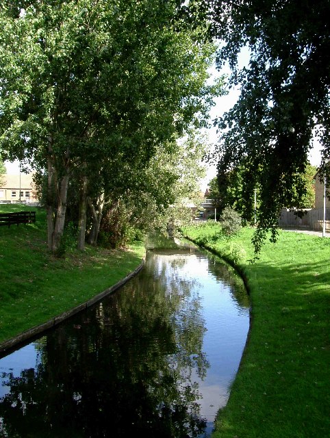
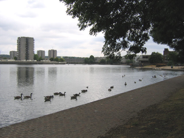
Thamesmead is known for its distinctive architectural style, with a mix of low-rise and high-rise buildings surrounded by spacious green spaces and waterways. The town is divided into four main areas: Thamesmead South, Thamesmead Central, Thamesmead North, and Thamesmead West. Each area features a range of housing options, including council estates, private homes, and social housing.

The town offers a variety of amenities and facilities for its residents, including several schools, healthcare centers, shopping centers, and recreational spaces. It is well-connected to central London and other parts of Kent through various transport links, including bus services and railway stations.

Thamesmead has a diverse population, with a mix of ethnicities and cultures. The town has a strong sense of community, with several community organizations and projects aimed at improving the quality of life for its residents.

While Thamesmead has faced some challenges over the years, including issues of crime and deprivation, efforts have been made to regenerate and improve the area. Several redevelopment projects have been undertaken to enhance the town's infrastructure and provide more opportunities for its residents.

Overall, Thamesmead is a vibrant and evolving community that offers a range of housing options, amenities, and transport links, making it an attractive place to live within close proximity to central London.

If you have any feedback on the listing, please let us know in the comments section below.
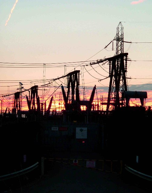
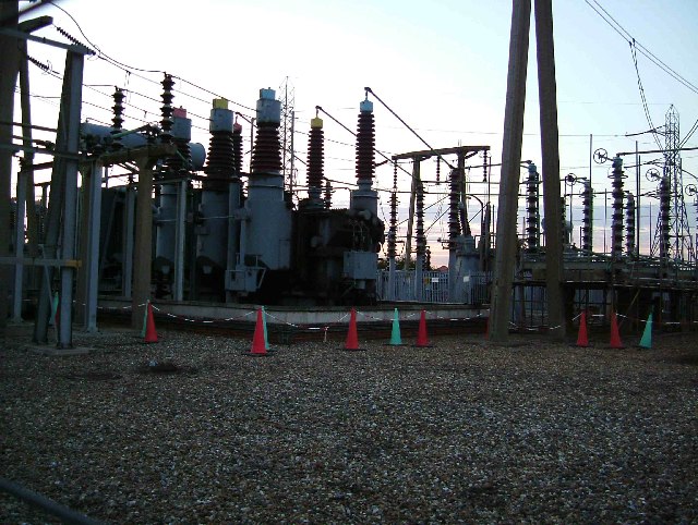
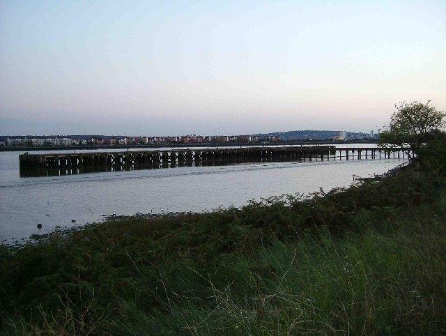
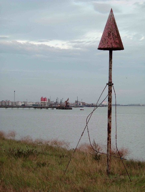
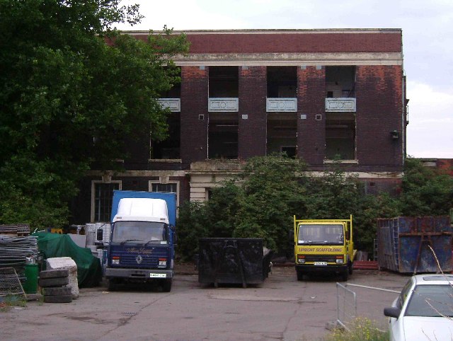
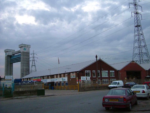
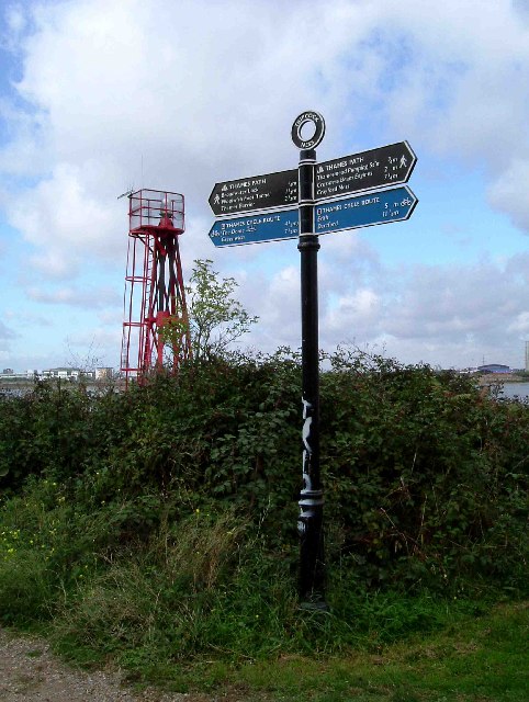
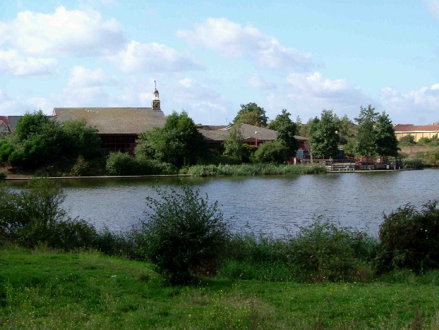
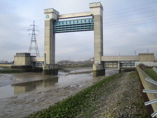
Thamesmead Images

Images are sourced within 2km of 51.504353/0.118854 or Grid Reference TQ4780. Thanks to Geograph Open Source API. All images are credited.

Substation Sunset This major electrical substation is located in Renwick Road Creekmouth near Dagenham.
Substation Sunset
This major electrical substation is located in Renwick Road Creekmouth near Dagenham.
Creekmouth Substation This is just a small section of the electrical substation at Creekmouth
Creekmouth Substation
This is just a small section of the electrical substation at Creekmouth
A Creekmouth Jetty This is a jetty at the eastern end of Creekmouth looking across the Thames towards Thamesmead
A Creekmouth Jetty
This is a jetty at the eastern end of Creekmouth looking across the Thames towards Thamesmead
Thames &  Navigation Marker A navigation marker on the Thames between Creekmouth and Dagenham Dock. The picture was taken looking downstream so it is Dagenham Dock and Ford’s in the background.
Thames & Navigation Marker
A navigation marker on the Thames between Creekmouth and Dagenham Dock. The picture was taken looking downstream so it is Dagenham Dock and Ford’s in the background.
N-Power Depot This is a derelict ancillary building to the old Barking Power Station, long since demolished. The area is still owned by N-Power and this is their "Open Air Storage Depot" or so the sign nearby declares. Tied to the railings is a planning application for the old power station site. Included are 10800 homes, 65,000 sq metres of retail space, and all the infrastructure (schools, medical, facilities etc etc) to service them, in fact a new town in the Thames Gateway. Also included in the application are provision for a City Farm and an ecology centre.
N-Power Depot
This is a derelict ancillary building to the old Barking Power Station, long since demolished. The area is still owned by N-Power and this is their "Open Air Storage Depot" or so the sign nearby declares. Tied to the railings is a planning application for the old power station site. Included are 10800 homes, 65,000 sq metres of retail space, and all the infrastructure (schools, medical, facilities etc etc) to service them, in fact a new town in the Thames Gateway. Also included in the application are provision for a City Farm and an ecology centre.
Paper Recycling in Creekmouth This is a photo of one of SITA’s paper recycling depots. SITA is the country’s largest waste management company. The group as a whole recycle some 1.4 million tonnes of waste per year. This plant handles some of the 350,000 tonnes of paper and card the company recycles each year. In the background can be seen the Barking Creek flood defence barrier.
Paper Recycling in Creekmouth
This is a photo of one of SITA’s paper recycling depots. SITA is the country’s largest waste management company. The group as a whole recycle some 1.4 million tonnes of waste per year. This plant handles some of the 350,000 tonnes of paper and card the company recycles each year. In the background can be seen the Barking Creek flood defence barrier.
Tripcock Light This photo shows the Tripcock Light and a fingerpost on the Thames Path Cycleway
Tripcock Light
This photo shows the Tripcock Light and a fingerpost on the Thames Path Cycleway
Thamesmere Looking across Thamesmere Lake towards the Thamesmere Leisure Centre. Rather prosaically the Environment Agency pumping station on the lake refers to the location as "Lake 4".
Thamesmere
Looking across Thamesmere Lake towards the Thamesmere Leisure Centre. Rather prosaically the Environment Agency pumping station on the lake refers to the location as "Lake 4".
Park in Thamesmead This is a canalised stream through a recreation ground in Thamesmead. The photograph was taken looking north.
Park in Thamesmead
This is a canalised stream through a recreation ground in Thamesmead. The photograph was taken looking north.
Dagenham Dock Dagenham Dock in all its glory. Sand and gravel seem to be the potential cargo.
Dagenham Dock
Dagenham Dock in all its glory. Sand and gravel seem to be the potential cargo.
Water Works A relatively new addition to the Thames Water sewage works at Halfway Reach.
Water Works
A relatively new addition to the Thames Water sewage works at Halfway Reach.
Cross Ness Treatment Tanks Sewage treatment tanks at the Cross Ness sewage works near Halfway Reach.
Cross Ness Treatment Tanks
Sewage treatment tanks at the Cross Ness sewage works near Halfway Reach.
Southmere, Thamesmead Southmere (variously spelt as one word or two) is the lake at the heart of the huge Thamesmead housing development (started in the 1970's and still expanding).
Southmere, Thamesmead
Southmere (variously spelt as one word or two) is the lake at the heart of the huge Thamesmead housing development (started in the 1970's and still expanding).
Crossness STW The main bank of filters at Crossness sewage treatment works
Crossness STW
The main bank of filters at Crossness sewage treatment works
golf driving range The golf driving range, situated at the end of Fairway Drive (where else?) in Thamesmead
golf driving range
The golf driving range, situated at the end of Fairway Drive (where else?) in Thamesmead
Cathedral of sewage The large, ornate brick building at Crossness is the original pumphouse where four large steam-powered beam engines lifted half London's sewage into the Thames.  Now it is treated at the extensive adjacent works but one of the old steam engines has been restored by volunteers.
Cathedral of sewage
The large, ornate brick building at Crossness is the original pumphouse where four large steam-powered beam engines lifted half London's sewage into the Thames. Now it is treated at the extensive adjacent works but one of the old steam engines has been restored by volunteers.
Barking Barrier This is the downstream side of the barrier, which was built over a period of four years, being completed in 1983. It is about 60 metres high, and was needed to be this size to allow shipping to reach the Town Quay in Barking further upstream. The barrier crosses the Barking Creek reach of the River Roding, at its confluence with the River Thames.
Barking Barrier
This is the downstream side of the barrier, which was built over a period of four years, being completed in 1983. It is about 60 metres high, and was needed to be this size to allow shipping to reach the Town Quay in Barking further upstream. The barrier crosses the Barking Creek reach of the River Roding, at its confluence with the River Thames.
Creekmouth: The Crooked Billet On the north-east side of River Road, opposite the Barking Barrier.
Creekmouth: The Crooked Billet
On the north-east side of River Road, opposite the Barking Barrier.
Show me another place!

Thamesmead is located at Grid Ref: TQ4780 (Lat: 51.504353, Lng: 0.118854)

Unitary Authority: Greenwich

Police Authority: Metropolitan

What 3 Words

///quite.festivity.reader. Near Abbey Wood, London

Related Wikis

Thamesmead Housing Co-operative

The Thamesmead Housing Co-operative was a housing estate in Thamesmead, South East London in the London Borough of Greenwich. It was a purpose-built housing...

Thamesmead

Thamesmead is an area of south-east London, England, straddling the border between the Royal Borough of Greenwich and the London Borough of Bexley. It...

Woolwich Polytechnic School for Boys

Woolwich Polytechnic School for Boys (founded 1912) is a secondary school for boys located in the Thamesmead area of the Royal Borough of Greenwich, London...

Thamesmead Town F.C.

Thamesmead Town Football Club was a football club originally based in Thamesmead in south-east London before moving to Dartford in 2017. They joined the...

Nearby Amenities

Located within 500m of 51.504353,0.118854
Crossing
Crossing: traffic_signals
Tactile Paving: yes
Lat/Long: 51.5037573/0.1188277
Barrier: bollard
Material: metal
Lat/Long: 51.5041544/0.1236227
Turning Circle
Turning Circle: circle
Lat/Long: 51.5083149/0.1217412
Mini Roundabout
Lat/Long: 51.5005408/0.1209318
Ref GB Tflcid: RWG181057
Traffic Calming: hump
Lat/Long: 51.5039613/0.116065
Ref GB Tflcid: RWG181205
Traffic Calming: hump
Lat/Long: 51.5041291/0.1142245
Ref GB Tflcid: RWG181206
Traffic Calming: hump
Lat/Long: 51.5048629/0.1147578
Tfl Id: RWG183547
Traffic Calming: table
Lat/Long: 51.5031533/0.117229
Ref GB Tflcid: RWG183525
Traffic Calming: hump
Lat/Long: 51.5061459/0.1145641
Ref GB Tflcid: RWG183524
Traffic Calming: hump
Lat/Long: 51.5057582/0.1138114
Ref GB Tflcid: RWG183495
Traffic Calming: hump
Lat/Long: 51.5064793/0.1135879
Tfl Id: RWG183567
Traffic Calming: table
Lat/Long: 51.5016033/0.114084
Ref GB Tflcid: RWG181048
Traffic Calming: hump
Lat/Long: 51.5015725/0.1166496
Ref GB Tflcid: RWG181050
Traffic Calming: hump
Lat/Long: 51.5034468/0.1188178
Bus Stop
Thamesmead / Carlyle Road
Bus: yes
Local Ref: SK
Naptan AtcoCode: 490004130N
Naptan Bearing: N
Naptan CommonName: Carlyle Road
Naptan Indicator: Stop SK
Naptan Street: CARLYLE ROAD
Naptan Verified: no
Public Transport: platform
Ref: 55091
Lat/Long: 51.5034364/0.119038
Bus Stop
Thamesmead / Carlyle Road
Bus: yes
Local Ref: SJ
Naptan AtcoCode: 490004130S
Naptan Bearing: S
Naptan CommonName: Carlyle Road
Naptan Indicator: Stop SJ
Naptan Street: CARLYLE ROAD
Naptan Verified: no
Public Transport: platform
Ref: 72088
Lat/Long: 51.5037628/0.1191594
Bus Stop
Curlew Close
Bus: yes
Local Ref: NA
Naptan AtcoCode: 490005908E
Naptan Bearing: E
Naptan CommonName: Curlew Close
Naptan Indicator: Stop NA
Naptan Street: CROSSWAY
Naptan Verified: no
Public Transport: platform
Ref: 57390
Lat/Long: 51.5065818/0.1244653
Bus Stop
Poplar Place
Bus: yes
Local Ref: SD
Naptan AtcoCode: 490011113E
Naptan Bearing: E
Naptan CommonName: Thamesmead Crossway
Naptan Indicator: Stop SD
Naptan Street: CROSSWAY
Naptan Verified: no
Public Transport: platform
Ref: 58003
Lat/Long: 51.5056607/0.1205208
Bus Stop
Poplar Place
Bus: yes
Local Ref: SE
Naptan AtcoCode: 490011113W
Naptan Bearing: W
Naptan CommonName: Thamesmead Crossway
Naptan Indicator: Stop SE
Naptan Street: CROSSWAY
Naptan Verified: no
Public Transport: platform
Ref: 75918
Lat/Long: 51.5059804/0.1213061
Bus Stop
Southwood Road
Bus: yes
Local Ref: SG
Naptan AtcoCode: 490012364N
Naptan Bearing: W
Naptan CommonName: Southwood Road
Naptan Indicator: Stop SG
Naptan Street: BENTHAM ROAD
Naptan Verified: no
Public Transport: platform
Ref: 75906
Lat/Long: 51.5021688/0.112682
Bus Stop
Southwood Road
Bus: yes
Local Ref: SB
Naptan AtcoCode: 490012364S
Naptan Bearing: E
Naptan CommonName: Southwood Road
Naptan Indicator: Stop SB
Naptan Street: BENTHAM ROAD
Naptan Verified: no
Public Transport: platform
Ref: 73761
Lat/Long: 51.5022016/0.1130041
Bus Stop
Titmuss Avenue
Bus: yes
Local Ref: SC
Naptan AtcoCode: 490013459E
Naptan Bearing: E
Naptan CommonName: Bentham Road Titmuss Avenue
Naptan Indicator: Stop SC
Naptan Street: BENTHAM ROAD
Naptan Verified: no
Public Transport: platform
Ref: 76912
Lat/Long: 51.5036305/0.1175096
Bus Stop
Titmuss Avenue
Bus: yes
Local Ref: SF
Naptan AtcoCode: 490013459W
Naptan Bearing: W
Naptan CommonName: Bentham Road Titmuss Avenue
Naptan Indicator: Stop SF
Naptan Street: BENTHAM ROAD
Naptan Verified: no
Public Transport: platform
Ref: 52480
Lat/Long: 51.5029881/0.1167934
Ref GB Tflcid: RWG181056
Traffic Calming: hump
Lat/Long: 51.5034335/0.1168795
Post Box
Brand: Royal Mail
Brand Wikidata: Q638098
Brand Wikipedia: en:Royal Mail
Collection Times: Mo-Fr 17:30; Sa 12:00
Drive Through: no
Operator: Royal Mail
Operator Wikidata: Q638098
Post Box Design: type_b
Post Box Type: pillar
Ref: SE2 22
Royal Cypher: EIIR
Royal Cypher Wikidata: Q33102113
Source: survey
Lat/Long: 51.5003108/0.1204684
Place Of Worship
Titmuss Avenue Baptist Church
Addr City: London
Addr Housename: Titmuss Avenue Baptist Church
Addr Postcode: SE28 8DJ
Addr Street: Titmuss Avenue
Denomination: baptist
Religion: christian
Lat/Long: 51.5063154/0.1147822
Crossing
Crossing: traffic_signals
Tactile Paving: yes
Lat/Long: 51.5038842/0.1188888
Ref GB Tflcid: RWG181053
Traffic Calming: hump
Lat/Long: 51.5018526/0.1196718
Titmuss Avenue
Bus: yes
Local Ref: SC
Public Transport: stop_position
Lat/Long: 51.5036323/0.1176342
Titmuss Avenue
Bus: yes
Local Ref: SF
Public Transport: stop_position
Lat/Long: 51.5030274/0.1167305
Southwood Road
Bus: yes
Local Ref: SB
Public Transport: stop_position
Lat/Long: 51.5021529/0.1129687
Southwood Road
Bus: yes
Local Ref: SG
Public Transport: stop_position
Lat/Long: 51.5022137/0.1127329
Curlew Close
Bus: yes
Local Ref: NA
Public Transport: stop_position
Lat/Long: 51.5065517/0.1244605
Poplar Place
Bus: yes
Local Ref: SE
Public Transport: stop_position
Lat/Long: 51.5060242/0.1212354
Poplar Place
Bus: yes
Local Ref: SD
Public Transport: stop_position
Lat/Long: 51.5056226/0.1205898
Thamesmead / Carlyle Road
Bus: yes
Local Ref: SK
Public Transport: stop_position
Lat/Long: 51.5034759/0.1191081
Thamesmead / Carlyle Road
Bus: yes
Local Ref: SJ
Public Transport: stop_position
Lat/Long: 51.5037288/0.1190832
Leisure: playground
Lat/Long: 51.5040485/0.1258119
Barrier: motorcycle_barrier
Lat/Long: 51.5009049/0.1213548
Community Centre
The Link
Name En: The Link
Lat/Long: 51.50055/0.1216008
Community Centre
Social Club
Name En: Social Club
Lat/Long: 51.5040178/0.116963
Place Of Worship
Christian Life Centre
Name En: Christian Life Centre
Religion: christian
Lat/Long: 51.503786/0.1166591
Barrier: bollard
Lat/Long: 51.5048562/0.1198689
Crossing
Crossing: unmarked
Lat/Long: 51.5068665/0.1230086
Barrier: bollard
Material: concrete
Lat/Long: 51.5058326/0.1254737
Barrier: bollard
Material: concrete
Lat/Long: 51.5058927/0.1252672
Waste Basket
Waste Basket: dog_excrement
Lat/Long: 51.5041213/0.1237813
Waste Basket
Lat/Long: 51.5041948/0.1250795
Bench
Lat/Long: 51.5038726/0.1254684
Bench
Lat/Long: 51.5050363/0.1250982
Bench
Lat/Long: 51.5054854/0.1252377
Waste Basket
Lat/Long: 51.5055154/0.1252672
Mini Roundabout
Lat/Long: 51.5032927/0.1171223
Traffic Signals
Traffic Signals: signal
Traffic Signals Direction: forward
Lat/Long: 51.5039143/0.1188505
Traffic Signals
Traffic Signals: signal
Traffic Signals Direction: forward
Lat/Long: 51.5037262/0.118867
Barrier: lift_gate
Lat/Long: 51.50455/0.1196496
Post Box
Brand: Royal Mail
Brand Wikidata: Q638098
Brand Wikipedia: en:Royal Mail
Collection Times: Mo-Fr 17:30; Sa 12:00
Drive Through: no
Operator: Royal Mail
Operator Wikidata: Q638098
Post Box Design: type_a
Post Box Type: pillar
Ref: SE28 1
Royal Cypher: EIIR
Royal Cypher Wikidata: Q33102113
Lat/Long: 51.5037272/0.1170152
Post Box
Brand: Royal Mail
Brand Wikidata: Q638098
Brand Wikipedia: en:Royal Mail
Collection Times: Mo-Fr 17:30; Sa 12:00
Drive Through: no
Operator: Royal Mail
Operator Wikidata: Q638098
Post Box Design: type_k
Post Box Type: pillar
Ref: SE28 6
Royal Cypher: EIIR
Royal Cypher Wikidata: Q33102113
Source: survey
Lat/Long: 51.5066044/0.1245058
Post Box
Brand: Royal Mail
Brand Wikidata: Q638098
Brand Wikipedia: en:Royal Mail
Collection Times: Mo-Fr 17:30; Sa 12:00
Drive Through: no
Operator: Royal Mail
Operator Wikidata: Q638098
Post Box Design: type_a
Post Box Type: pillar
Ref: SE28 2
Royal Cypher: EIIR
Royal Cypher Wikidata: Q33102113
Lat/Long: 51.5060991/0.11464
Man Made: manhole
Manhole: sewer
Lat/Long: 51.5021461/0.1251348
Man Made: manhole
Manhole: sewer
Lat/Long: 51.5016421/0.1235374
Man Made: manhole
Manhole: sewer
Lat/Long: 51.5011319/0.1219151
Man Made: manhole
Manhole: sewer
Lat/Long: 51.5005386/0.1200279
Man Made: manhole
Manhole: sewer
Lat/Long: 51.5001293/0.1187322
Traffic Calming: hump
Lat/Long: 51.5019461/0.1149804
Bicycle Parking
Bicycle Parking: stands
Capacity: 8
Ref GB Tflcid: RWG171390
Lat/Long: 51.5038576/0.117033
Bicycle Parking
Access: private
Bicycle Parking: shed
Capacity: 6
Covered: yes
Operator: Cyclehoop Rentals
Ref GB Tflcid: RWG171382
Lat/Long: 51.4999445/0.1195269
Ref GB Tflcid: RWG181044
Traffic Calming: hump
Lat/Long: 51.5000697/0.1210026
Ref GB Tflcid: RWG180302
Traffic Calming: cushion
Lat/Long: 51.502027/0.1138256
Ref GB Tflcid: RWG181043
Traffic Calming: hump
Lat/Long: 51.5000051/0.1191936
Ref GB Tflcid: RWG181052
Traffic Calming: hump
Lat/Long: 51.50245/0.1196981
Ref GB Tflcid: RWG181153
Traffic Calming: hump
Lat/Long: 51.5015107/0.115495
Ref GB Tflcid: RWG181060
Traffic Calming: hump
Lat/Long: 51.5058153/0.1160767
Ref GB Tflcid: RWG181051
Traffic Calming: hump
Lat/Long: 51.5029781/0.1192747
Ref GB Tflcid: RWG181399
Traffic Calming: hump
Lat/Long: 51.5073703/0.1182027
Crossing
Crossing: unmarked
Crossing Markings: no
Tactile Paving: yes
Lat/Long: 51.504232/0.1183663
Crossing
Crossing: unmarked
Crossing Markings: no
Tactile Paving: yes
Lat/Long: 51.5041776/0.1182748
Crossing
Crossing: unmarked
Crossing Markings: no
Tactile Paving: yes
Lat/Long: 51.5042272/0.1187623
Crossing
Crossing: unmarked
Crossing Markings: no
Tactile Paving: yes
Lat/Long: 51.5042572/0.1186777
Traffic Calming: cushion
Lat/Long: 51.5028116/0.1164065
Traffic Signals
Bicycle: yes
Traffic Signals Direction: forward
Lat/Long: 51.5038639/0.118213
Traffic Signals
Lat/Long: 51.5038769/0.1181995
Crossing
Crossing: traffic_signals
Tactile Paving: yes
Lat/Long: 51.5038573/0.1181485
Crossing
Crossing: traffic_signals
Tactile Paving: yes
Lat/Long: 51.503876/0.1179917
Traffic Signals
Lat/Long: 51.503855/0.1179461
Traffic Calming: hump
Lat/Long: 51.5025099/0.1181088
Crossing
Crossing: unmarked
Traffic Calming: hump
Lat/Long: 51.5022175/0.1150035
Noexit: yes
Lat/Long: 51.5025424/0.1157767
Traffic Calming: hump
Lat/Long: 51.5027101/0.1136063
Crossing
Crossing: marked
Crossing Island: yes
Tactile Paving: yes
Lat/Long: 51.5020858/0.1147422
Historic: cannon
Lat/Long: 51.5041936/0.1161477
Historic: cannon
Lat/Long: 51.5042474/0.1162097
Historic: cannon
Lat/Long: 51.5042578/0.1161443
The data included in this document is from www.openstreetmap.org. The data is made available under ODbL.

Have you been to Thamesmead?

Leave your review of Thamesmead below (or comments, questions and feedback).