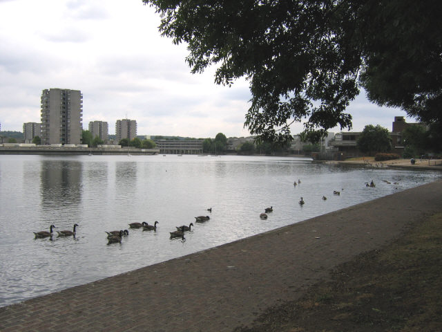
South Mere
Lake, Pool, Pond, Freshwater Marsh in Kent
England
South Mere
The requested URL returned error: 429 Too Many Requests
If you have any feedback on the listing, please let us know in the comments section below.
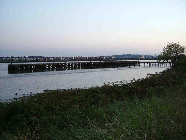
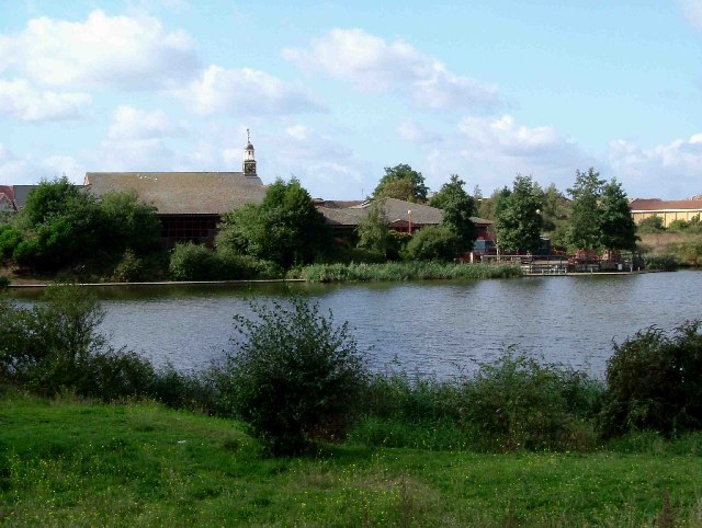
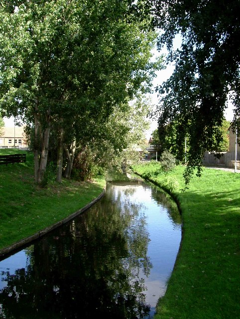
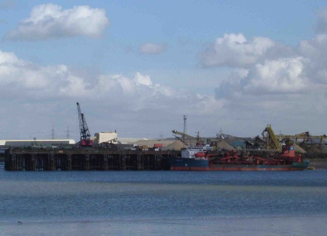
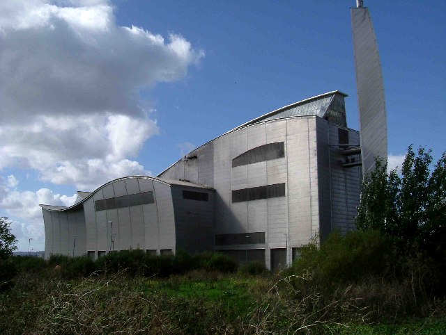
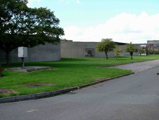
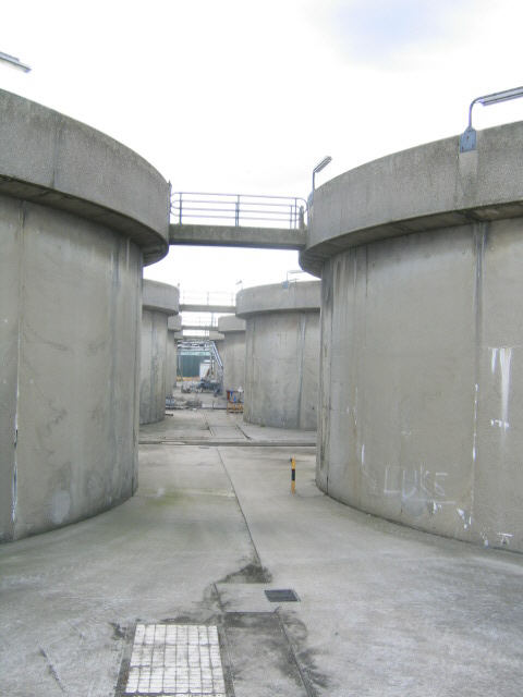
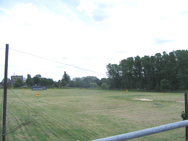
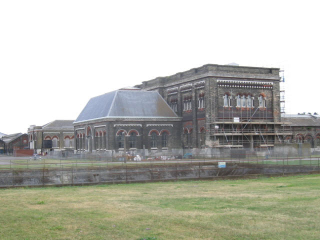
South Mere Images
Images are sourced within 2km of 51.499756/0.12591858 or Grid Reference TQ4780. Thanks to Geograph Open Source API. All images are credited.


South Mere is located at Grid Ref: TQ4780 (Lat: 51.499756, Lng: 0.12591858)
Unitary Authority: Bexley
Police Authority: Metropolitan
What 3 Words
///flight.visit.rapid. Near Belvedere, London
Nearby Locations
Related Wikis

Thamesmead
Thamesmead is an area of south-east London, England, straddling the border between the Royal Borough of Greenwich and the London Borough of Bexley. It...

Thamesmead Town F.C.
Thamesmead Town Football Club was a football club originally based in Thamesmead in south-east London before moving to Dartford in 2017. They joined the...

Erith and Thamesmead (UK Parliament constituency)
Erith and Thamesmead () is a constituency created in 1997 and represented in the House of Commons of the UK Parliament since 2019 by Abena Oppong-Asare...
Harris Garrard Academy
Harris Garrard Academy (formerly Business Academy Bexley) is a 4–18 mixed, all-through school and sixth form with academy status in Thamesmead, Erith,...
Nearby Amenities
Located within 500m of 51.499756,0.12591858Have you been to South Mere?
Leave your review of South Mere below (or comments, questions and feedback).