Tangley

Settlement in Hampshire Test Valley

England

Tangley

Country lane, Tangley, Hampshire
Country lane, Tangley, Hampshire Credit: Oswald Bertram

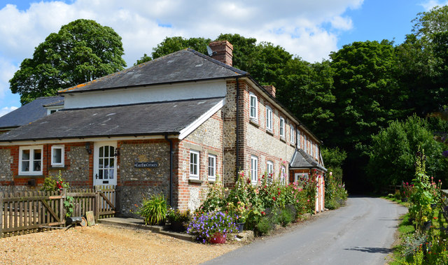
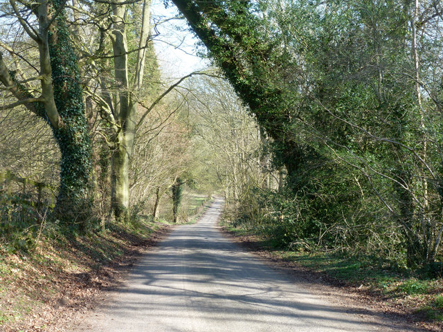
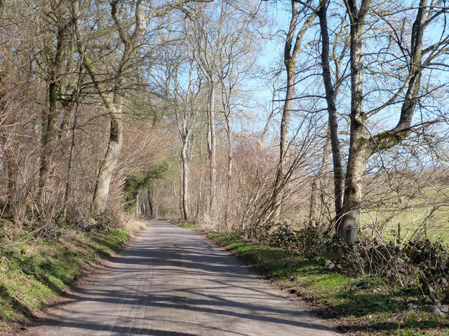
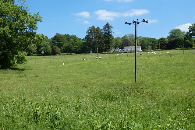
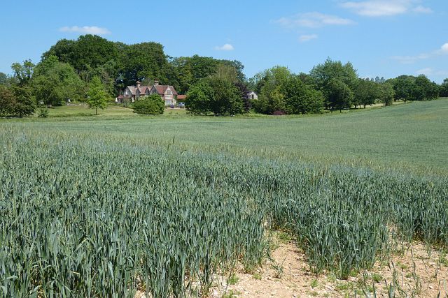
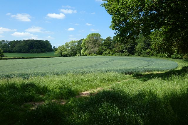
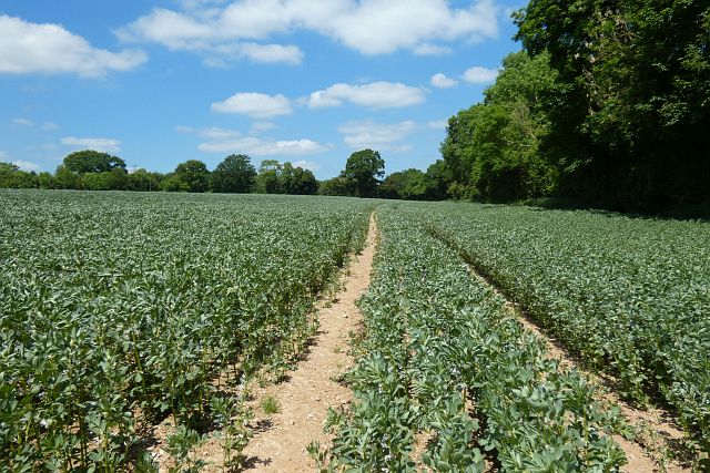
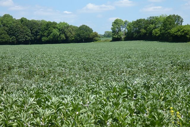
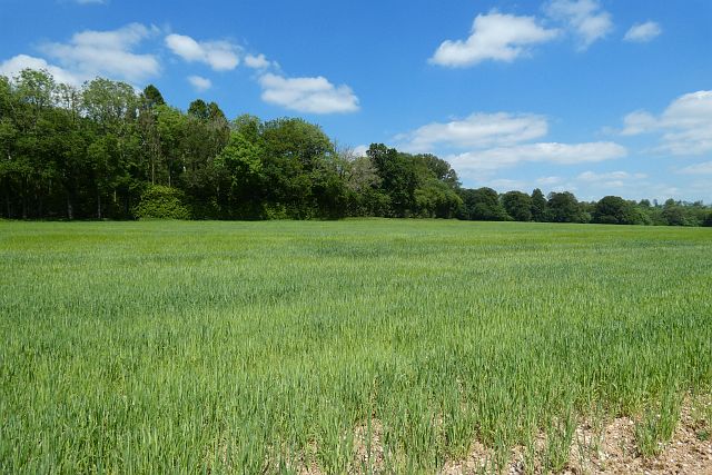
Tangley is a small village located in the county of Hampshire, England. Situated approximately 5 miles northeast of the market town of Andover, Tangley is nestled in the picturesque Test Valley region. The village is surrounded by beautiful countryside, characterized by rolling hills, meandering rivers, and lush green fields.

With a population of around 250 inhabitants, Tangley is known for its tight-knit community and tranquil atmosphere. The village is predominantly residential, consisting of a mix of traditional thatched cottages, charming farmhouses, and modern housing estates.

Tangley boasts a few amenities to cater to its residents' needs. These include a local village hall, which serves as a hub for various community activities and events. Additionally, there is a quaint village church, adding to the village's historic charm.

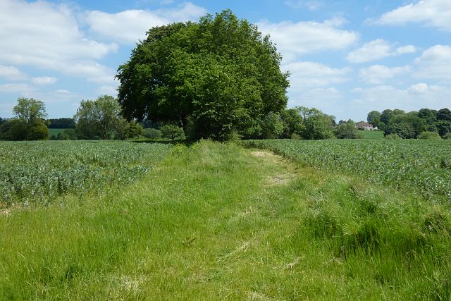
The surrounding countryside provides ample opportunities for outdoor activities, such as walking, cycling, and horseback riding. The Test Way, a long-distance footpath, passes through Tangley, attracting nature enthusiasts and hikers.

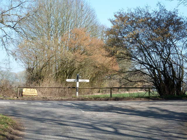
Despite its small size, Tangley benefits from its proximity to larger towns and cities. The nearby town of Andover offers a wider range of services, including shopping centers, supermarkets, and leisure facilities. Tangley is also conveniently located near major road networks, providing easy access to other parts of Hampshire and beyond.

Overall, Tangley offers a peaceful and idyllic setting for those seeking a rural lifestyle, while still providing convenient access to modern amenities and opportunities for outdoor pursuits.

If you have any feedback on the listing, please let us know in the comments section below.
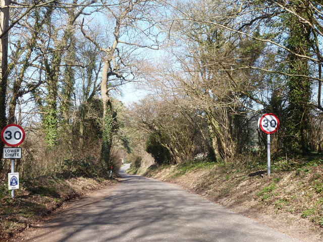
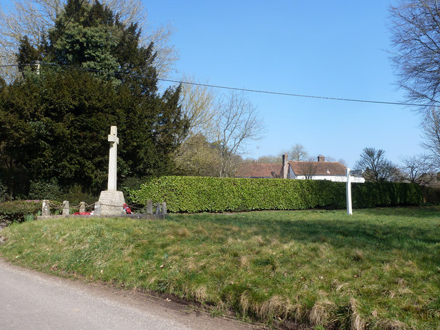
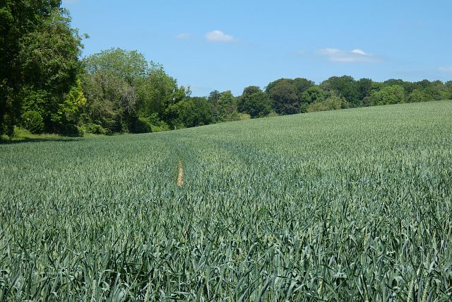
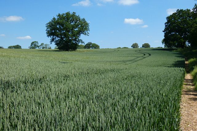
Tangley Images

Images are sourced within 2km of 51.27213/-1.528458 or Grid Reference SU3252. Thanks to Geograph Open Source API. All images are credited.

Country lane, Tangley, Hampshire
Lodge Lane, Chute Forest
Lodge Lane Heading away from Chute Forest towards the other Chutes.
Lodge Lane
Heading away from Chute Forest towards the other Chutes.
Lodge Lane meets the Lower Chute - Tangley and Clanville road
Entering Lower Chute On the road from Tangley and Clanville.
Entering Lower Chute
On the road from Tangley and Clanville.
War memorial, Lower Chute On the corner of a rather small green.
War memorial, Lower Chute
On the corner of a rather small green.
Facing Conholt from the Hidden Valley
Farmland, Tangley A crop of wheat on the eastern flank of a dry valley that runs up from Hatherden to Tangley.
Farmland, Tangley
A crop of wheat on the eastern flank of a dry valley that runs up from Hatherden to Tangley.
Farmland, Tangley An oak standing in wheat to the south of Tangley Farm.
Farmland, Tangley
An oak standing in wheat to the south of Tangley Farm.
Pasture, Tangley Sheep grazing below one of the houses on Holt Lane.
Pasture, Tangley
Sheep grazing below one of the houses on Holt Lane.
Farmland, Tangley A crop of wheat to the south of Dowlands Farm.
Farmland, Tangley
A crop of wheat to the south of Dowlands Farm.
Farmland, Tangley A crop of wheat to the south of Young's Copse with Chessams Copse beyond.
Farmland, Tangley
A crop of wheat to the south of Young's Copse with Chessams Copse beyond.
Farmland, Chute Forest A footpath between fields of beans heads down into Tangley Bottom to reach the county boundary.
Farmland, Chute Forest
A footpath between fields of beans heads down into Tangley Bottom to reach the county boundary.
Farmland, Chute Forest The footpath here had not been reinstated, but was easy enough to use with the crop of beans not being too high yet.
Farmland, Chute Forest
The footpath here had not been reinstated, but was easy enough to use with the crop of beans not being too high yet.
Farmland, Chute Forest One of several fields of beans in the vicinity.
Farmland, Chute Forest
One of several fields of beans in the vicinity.
Farmland, Chute Spring barley to the north of the parallel footpath and byroad between Chute Standen and Chute Cadley.
Farmland, Chute
Spring barley to the north of the parallel footpath and byroad between Chute Standen and Chute Cadley.
Pasture, Chute Forest Ewes and lambs beside the bridleway from Appleshaw.
Pasture, Chute Forest
Ewes and lambs beside the bridleway from Appleshaw.
Seat on the green opposite the parish church (autumn)
Show me another place!

Tangley is located at Grid Ref: SU3252 (Lat: 51.27213, Lng: -1.528458)

Administrative County: Hampshire

District: Test Valley

Police Authority: Hampshire

What 3 Words

///tunnel.goodbyes.promoting. Near Ludgershall, Wiltshire

Related Wikis

Tangley

Tangley is a village in the English county of Hampshire. Tangley is situated north of the old market town of Andover and the village of Charlton, Hampshire...

Bevisbury

Bevisbury is the site of a former Iron Age plateau fort in Hampshire, England. The fort lies on a chalk ridge and is of a single bank and ditch construction...

St Mary's Church, Chute Forest

St Mary's Church in Chute Forest, Wiltshire, England, was built between 1870 and 1871 and consecrated in 1875. It is recorded in the National Heritage...

Chute Forest

Chute Forest is a village and civil parish in east Wiltshire, England. The parish is bordered to the east and south by the county of Hampshire. The village...

Rushmore and Conholt Downs

Rushmore and Conholt Downs is a 111.5-hectare (276-acre) biological Site of Special Scientific Interest north of Andover in Hampshire. It is a Nature Conservation...

Conholt

Conholt was a small village in east Wiltshire, England, close to the Hampshire border and about 6 miles (10 km) northeast of Andover. It is now the site...

Pill Heath

Pill Heath is a hamlet in the civil parish of Tangley situated in the North Wessex Downs Area of Outstanding Natural Beauty in the Test Valley district...

Hatherden

Hatherden is a village and civil parish in the Test Valley district of Hampshire, England. Its nearest town is Andover, which lies approximately 3.3 miles...

Nearby Amenities

Located within 500m of 51.27213,-1.528458
Bus Stop
War Memorial
Naptan AtcoCode: 1900HA100436
Naptan Bearing: S
Naptan CommonName: War Memorial
Naptan NaptanCode: hamamamw
Naptan Street: Hungerford Lane
Naptan Verified: no
Source: naptan_import
Lat/Long: 51.2723119/-1.528485
Bus Stop
War Memorial
Naptan AtcoCode: 1900HA100437
Naptan Bearing: N
Naptan CommonName: War Memorial
Naptan NaptanCode: hamamamt
Naptan Street: Hungerford Lane
Naptan Verified: no
Source: naptan_import
Lat/Long: 51.2719427/-1.5289357
Pub
Cricketer's Arms
Wikidata: Q26449883
Lat/Long: 51.2733991/-1.5330731
Lower Green Farm
Place: farm
Lat/Long: 51.2713443/-1.529444
Historic: memorial
Memorial: war_memorial
Lat/Long: 51.2722008/-1.5286151
Post Box
Operator: Royal Mail
Post Box Type: wall
Ref: SP11 8
Royal Cypher: EIIR
Royal Cypher Wikidata: Q33102113
Lat/Long: 51.2717288/-1.5319618
Tangley
Place: village
Wikidata: Q7683053
Wikipedia: en:Tangley
Lat/Long: 51.2721991/-1.5318632
The data included in this document is from www.openstreetmap.org. The data is made available under ODbL.

Have you been to Tangley?

Leave your review of Tangley below (or comments, questions and feedback).