Highland Copse
Wood, Forest in Wiltshire
England
Highland Copse
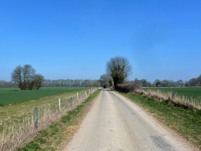
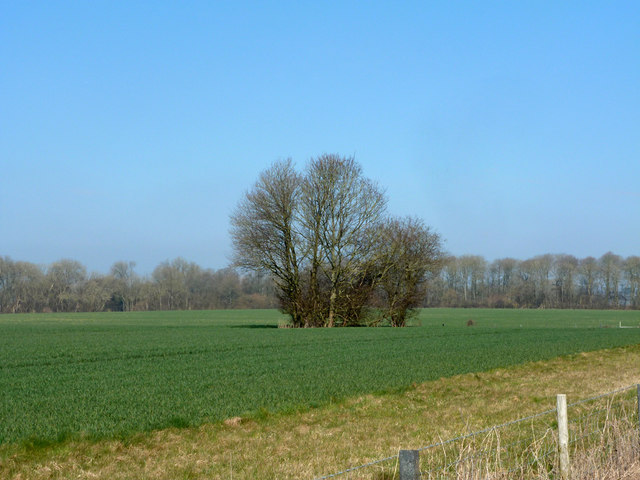
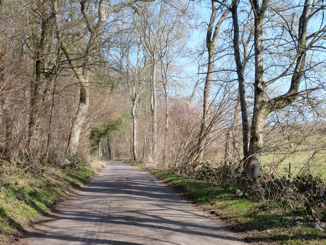
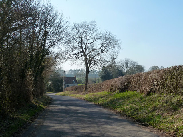
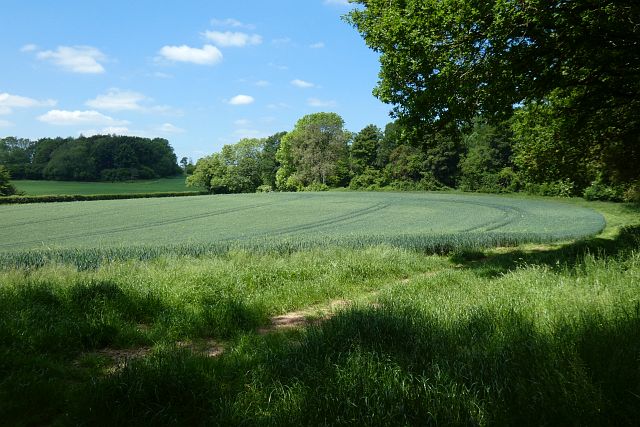
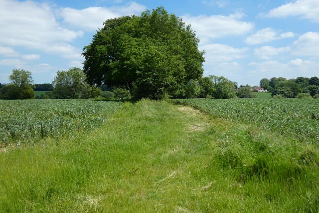
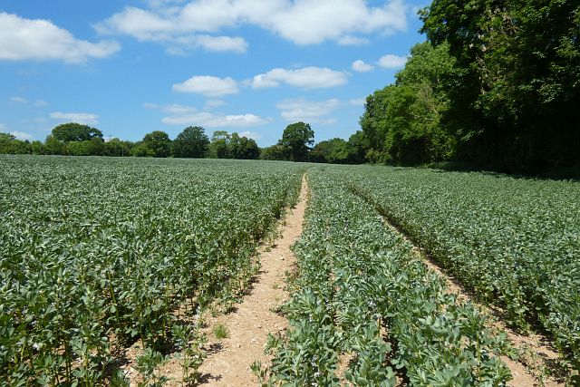
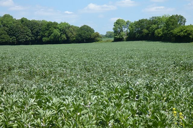
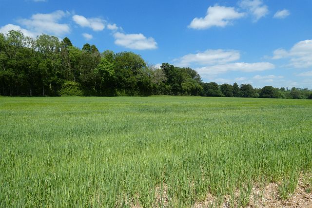
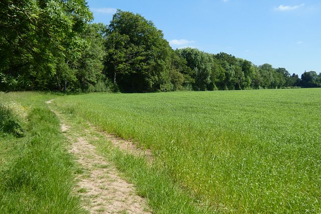
Highland Copse is a charming woodland located in the county of Wiltshire, England. Situated near the village of Highland, the copse is a popular destination for nature enthusiasts and outdoor enthusiasts alike. Spanning approximately 50 acres, this forested area offers a serene and tranquil environment, making it a perfect escape from the hustle and bustle of daily life.
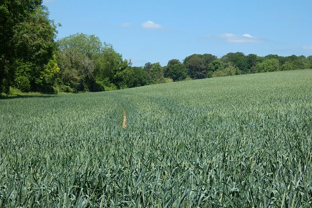
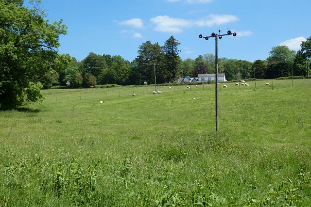
The copse is characterized by a diverse range of trees, including oak, beech, and birch, which create a dense canopy overhead. Beneath the towering trees, visitors can explore the forest floor, which is adorned with a carpet of wildflowers and ferns. The rich biodiversity of the copse provides a habitat for various species of birds, mammals, and insects, making it a haven for wildlife enthusiasts and birdwatchers.
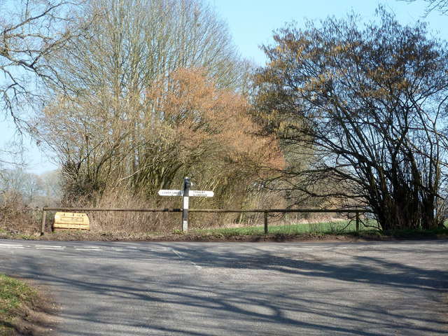
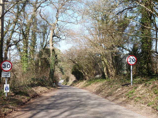
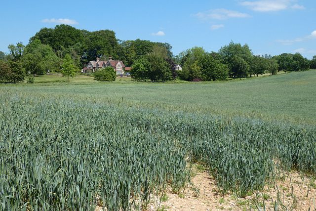
Trails wind their way through the copse, allowing visitors to explore its beauty at their own pace. These paths are well-maintained and offer stunning views of the surrounding countryside. The copse is also home to a small stream that meanders through the woodland, adding to its picturesque charm.
Highland Copse is a popular destination for outdoor activities such as walking, hiking, and picnicking. The peaceful atmosphere and natural beauty make it an idyllic spot for a family day out or a leisurely stroll. Additionally, the copse is located near several other attractions, including historic sites and charming villages, providing visitors with the opportunity to explore the wider area.
Overall, Highland Copse in Wiltshire is a hidden gem, offering visitors a chance to immerse themselves in the beauty of nature and enjoy a peaceful and rejuvenating experience.
If you have any feedback on the listing, please let us know in the comments section below.
Highland Copse Images
Images are sourced within 2km of 51.268086/-1.5421795 or Grid Reference SU3252. Thanks to Geograph Open Source API. All images are credited.
Highland Copse is located at Grid Ref: SU3252 (Lat: 51.268086, Lng: -1.5421795)
Unitary Authority: Wiltshire
Police Authority: Wiltshire
What 3 Words
///adopts.jigging.shredding. Near Ludgershall, Wiltshire
Nearby Locations
Related Wikis

Tangley
Tangley is a village in the English county of Hampshire. Tangley is situated north of the old market town of Andover and the village of Charlton, Hampshire...

St Mary's Church, Chute Forest
St Mary's Church in Chute Forest, Wiltshire, England, was built between 1870 and 1871 and consecrated in 1875. It is recorded in the National Heritage...

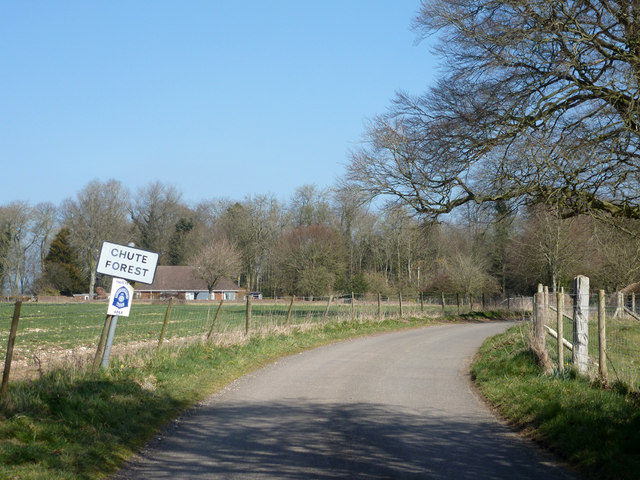
Chute Forest
Chute Forest is a village and civil parish in east Wiltshire, England. The parish is bordered to the east and south by the county of Hampshire. The village...

Bevisbury
Bevisbury is the site of a former Iron Age plateau fort in Hampshire, England. The fort lies on a chalk ridge and is of a single bank and ditch construction...

Chute, Wiltshire
Chute is a civil parish in east Wiltshire, England, on the border with Hampshire. It includes the main village of Upper Chute and the smaller settlements...

Biddesden House
Biddesden House (or Biddesden Park) is a Grade I listed English country house in east Wiltshire, about 5 miles (8 km) north-west of Andover, Hampshire...

Conholt
Conholt was a small village in east Wiltshire, England, close to the Hampshire border and about 6 miles (10 km) northeast of Andover. It is now the site...
Hatherden
Hatherden is a village and civil parish in the Test Valley district of Hampshire, England. Its nearest town is Andover, which lies approximately 3.3 miles...
Nearby Amenities
Located within 500m of 51.268086,-1.5421795Have you been to Highland Copse?
Leave your review of Highland Copse below (or comments, questions and feedback).