Tangley Bottom
Valley in Hampshire Test Valley
England
Tangley Bottom
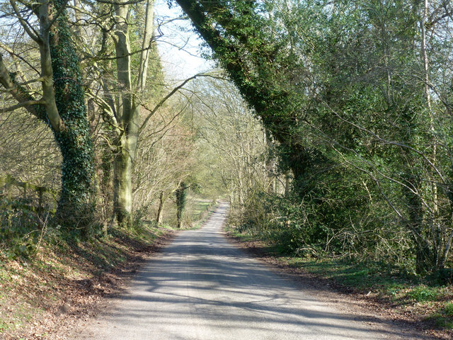
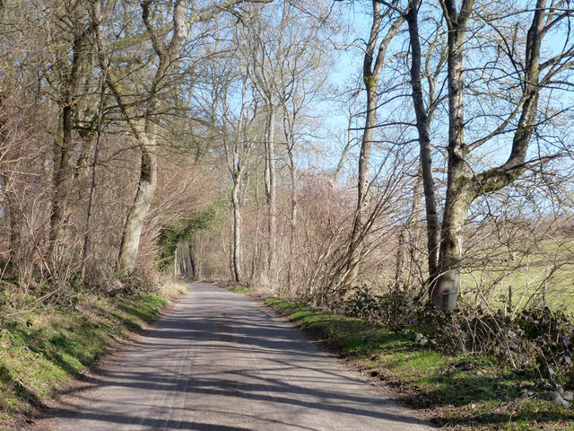
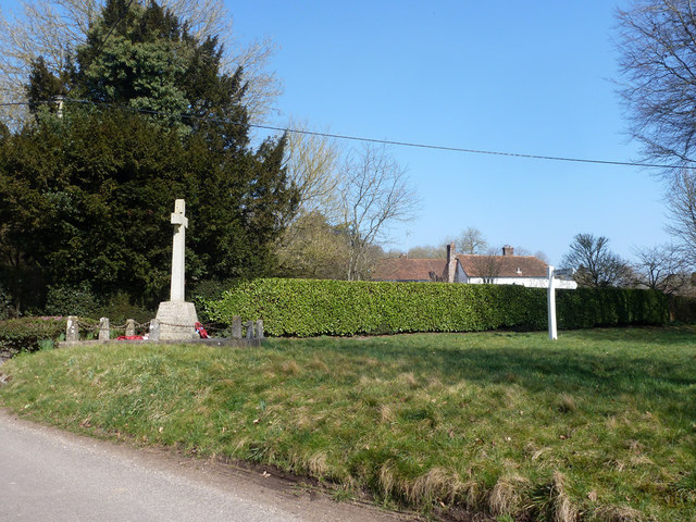
Tangley Bottom, located in Hampshire, England, is a picturesque valley nestled within the beautiful countryside. This idyllic area is renowned for its natural beauty, offering visitors a serene and peaceful environment to escape the hustle and bustle of city life.
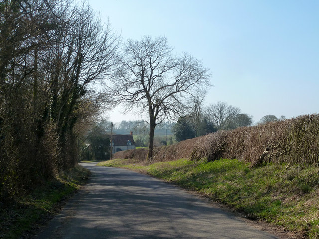
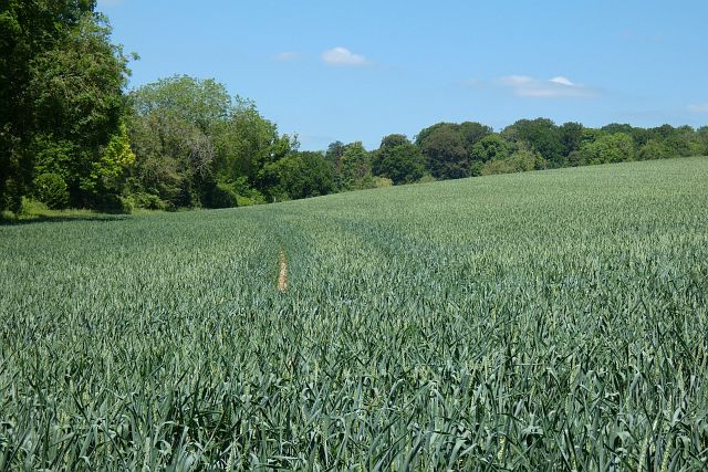
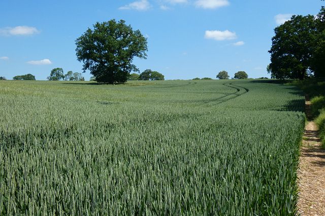
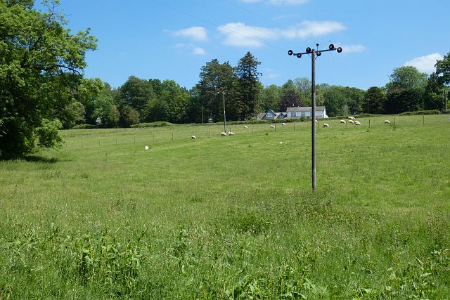
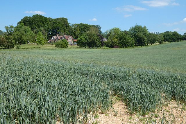
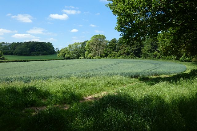
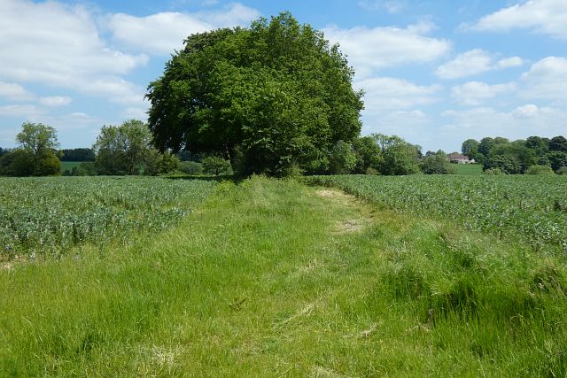
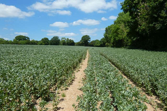
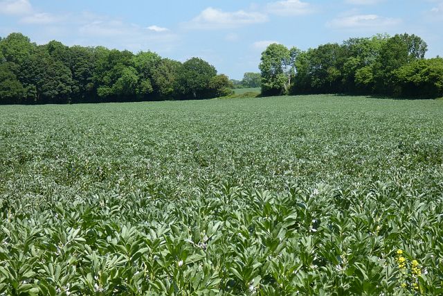
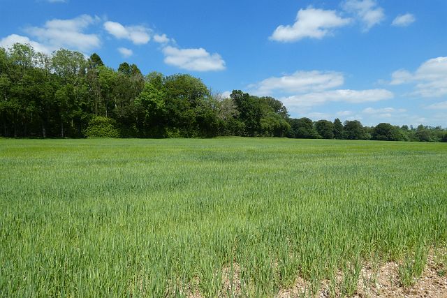
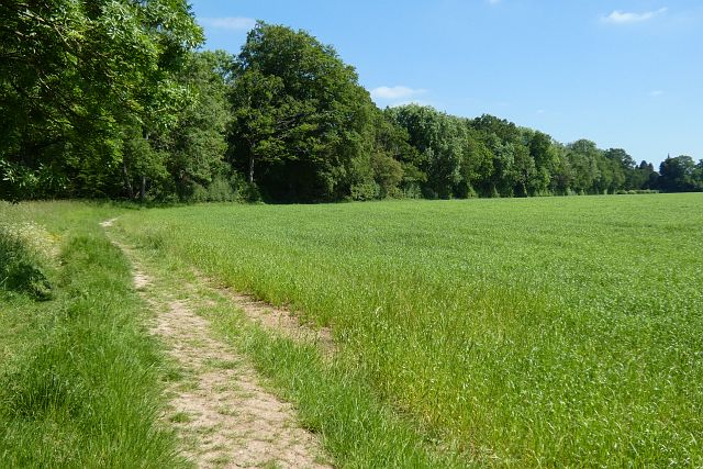
The valley itself is characterized by lush green meadows, rolling hills, and meandering streams, creating a stunning landscape that is a delight to explore. Tall, ancient trees dot the area, adding to the tranquility and providing shade during the warmer months.
Tangley Bottom is home to a diverse range of flora and fauna, making it a haven for nature lovers. The valley's rich biodiversity includes various species of wildflowers, butterflies, birds, and small mammals. Walking through the valley, one can enjoy the sights and sounds of nature, with the gentle chirping of birds and the rustling of leaves creating a soothing ambiance.
In addition to its natural beauty, Tangley Bottom is also known for its charming cottages and farmhouses that dot the landscape. These traditional buildings, some dating back centuries, add to the valley's rustic charm and provide a glimpse into the area's rich history.
Visitors to Tangley Bottom can indulge in a range of outdoor activities, including hiking, picnicking, and photography. The valley's well-maintained trails offer excellent opportunities for leisurely walks or more challenging hikes, catering to all levels of fitness.
Overall, Tangley Bottom in Hampshire is a hidden gem, offering a peaceful retreat for those seeking a connection with nature and a break from the fast-paced modern world.
If you have any feedback on the listing, please let us know in the comments section below.
Tangley Bottom Images
Images are sourced within 2km of 51.27452/-1.536754 or Grid Reference SU3252. Thanks to Geograph Open Source API. All images are credited.


Tangley Bottom is located at Grid Ref: SU3252 (Lat: 51.27452, Lng: -1.536754)
Administrative County: Hampshire
District: Test Valley
Police Authority: Hampshire
What 3 Words
///above.zooms.sized. Near Ludgershall, Wiltshire
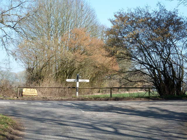
Nearby Locations
Related Wikis

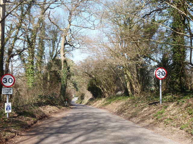
Tangley
Tangley is a village in the English county of Hampshire. Tangley is situated north of the old market town of Andover and the village of Charlton, Hampshire...

Bevisbury
Bevisbury is the site of a former Iron Age plateau fort in Hampshire, England. The fort lies on a chalk ridge and is of a single bank and ditch construction...

St Mary's Church, Chute Forest
St Mary's Church in Chute Forest, Wiltshire, England, was built between 1870 and 1871 and consecrated in 1875. It is recorded in the National Heritage...

Chute Forest
Chute Forest is a village and civil parish in east Wiltshire, England. The parish is bordered to the east and south by the county of Hampshire. The village...

Conholt
Conholt was a small village in east Wiltshire, England, close to the Hampshire border and about 6 miles (10 km) northeast of Andover. It is now the site...

Rushmore and Conholt Downs
Rushmore and Conholt Downs is a 111.5-hectare (276-acre) biological Site of Special Scientific Interest north of Andover in Hampshire. It is a Nature Conservation...

Chute, Wiltshire
Chute is a civil parish in east Wiltshire, England, on the border with Hampshire. It includes the main village of Upper Chute and the smaller settlements...
Pill Heath
Pill Heath is a hamlet in the civil parish of Tangley situated in the North Wessex Downs Area of Outstanding Natural Beauty in the Test Valley district...
Nearby Amenities
Located within 500m of 51.27452,-1.536754Have you been to Tangley Bottom?
Leave your review of Tangley Bottom below (or comments, questions and feedback).