Takeley Street
Settlement in Essex Uttlesford
England
Takeley Street

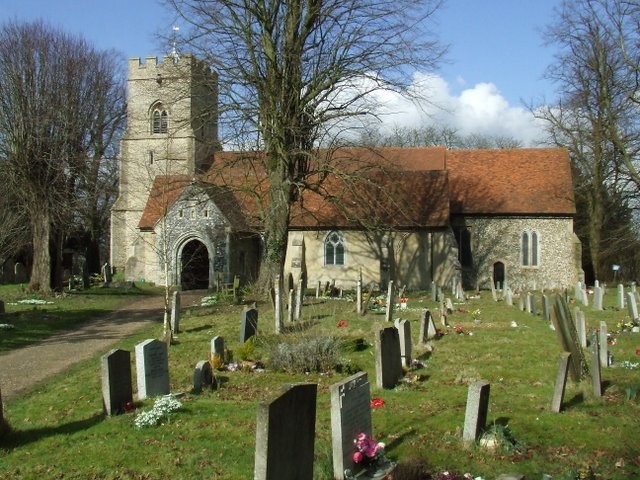
Takeley Street is a small village located in the county of Essex, England. Situated approximately 33 miles northeast of London, it falls within the administrative district of Uttlesford. The village is part of the larger civil parish of Takeley, which encompasses several other nearby settlements.
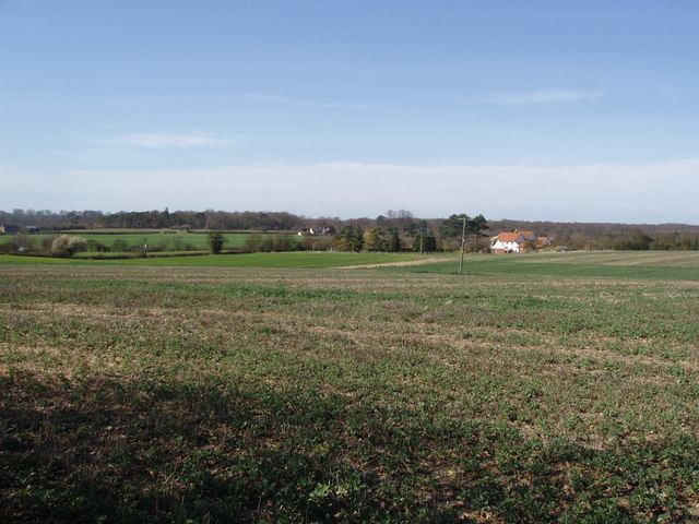
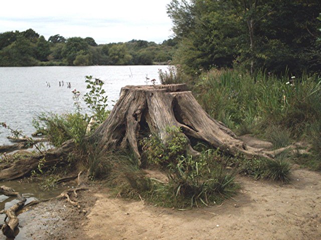
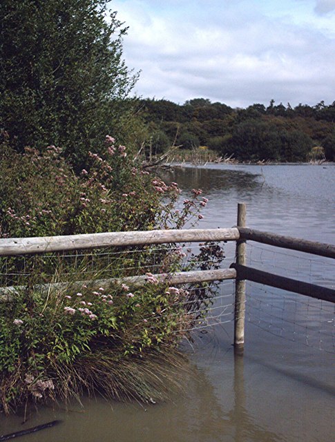
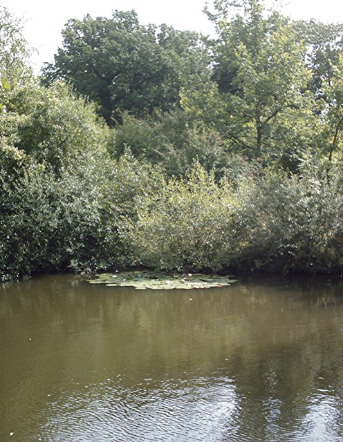
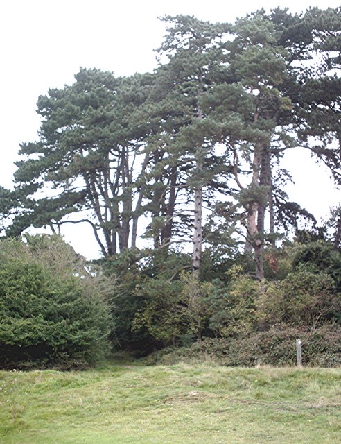
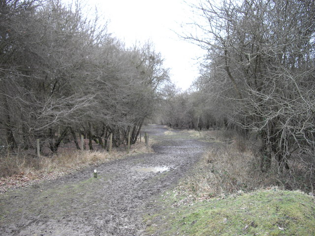
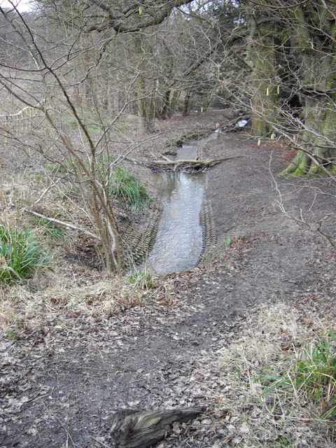
Takeley Street is primarily a residential area, characterized by its quaint charm and peaceful atmosphere. The village is surrounded by picturesque countryside, with rolling fields and green landscapes, making it an attractive destination for nature lovers and those seeking a quiet retreat from the hustle and bustle of city life.
The village has a small but close-knit community, with a population of around 700 residents. It offers a range of amenities, including a local pub, a village hall, and a primary school, providing essential services and fostering a sense of community spirit.
Despite its rural setting, Takeley Street benefits from good transport links. The village is conveniently located near the M11 motorway, providing easy access to London and Cambridge. Additionally, the nearby Stansted Airport offers international and domestic flights, making it a convenient hub for travelers.
Overall, Takeley Street is a charming village that offers a peaceful and idyllic lifestyle. Its beautiful surroundings, community spirit, and convenient location make it an appealing place to live for those seeking a slower pace of life, while still offering easy access to larger towns and cities in the region.
If you have any feedback on the listing, please let us know in the comments section below.
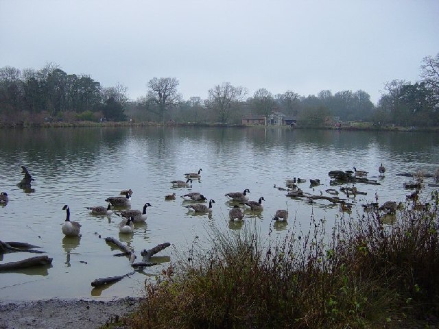
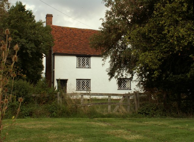
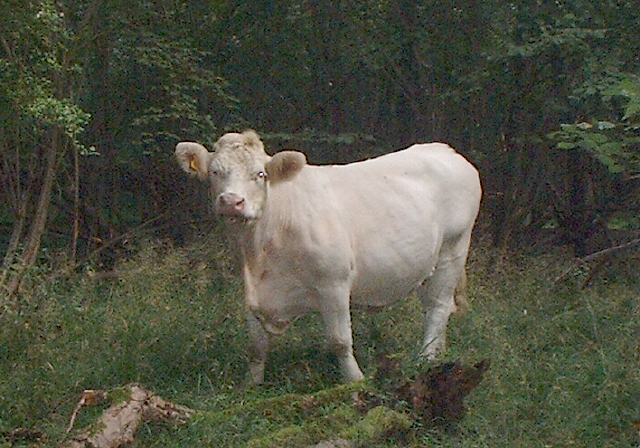
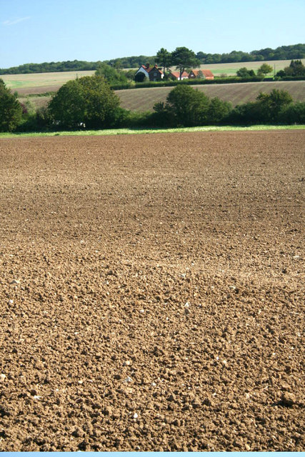
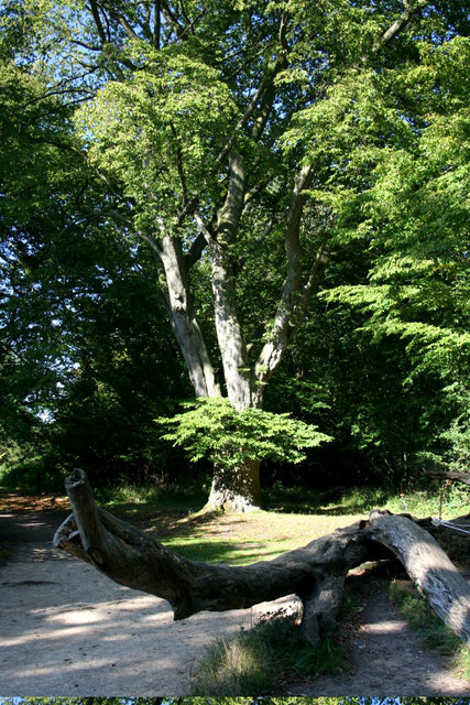
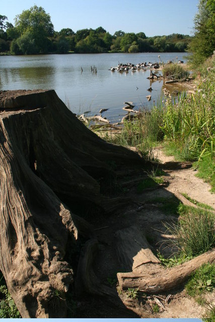
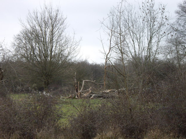
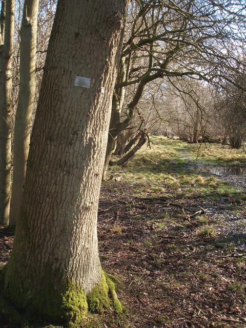
Takeley Street Images
Images are sourced within 2km of 51.868415/0.241198 or Grid Reference TL5421. Thanks to Geograph Open Source API. All images are credited.

Takeley Street is located at Grid Ref: TL5421 (Lat: 51.868415, Lng: 0.241198)
Administrative County: Essex
District: Uttlesford
Police Authority: Essex
What 3 Words
///lofts.jumbled.afraid. Near Takeley, Essex
Nearby Locations
Related Wikis

Stane Street Halt railway station
Stane Street Halt railway station was a station serving the community of Takeley Street to the west of the village of Takeley near Bishop's Stortford,...

Portingbury Hills
Portingbury Hills (grid reference TL5320) or Portingbury Rings is a hill in Hatfield Forest, Hatfield Broad Oak, Essex, United Kingdom. == Artefacts... ==
The Christian School, Takeley
The Christian School (Takeley) is an independent Christian school located in Takeley, Bishop's Stortford, Essex. The school caters for children of 7 through...

Hatfield Forest
Hatfield Forest is a 403.2-hectare (996-acre) biological Site of Special Scientific Interest in Essex, three miles east of Bishop's Stortford. It is also...
Takeley
Takeley is a village and civil parish in the Uttlesford district of Essex, England. == History == A number of theories have arisen over the origin of the...
Takeley Priory
Takeley Priory, dedicated to Saint Valery, was a Benedictine monastery in Takeley, Essex, England, founded by William the Conqueror between 1066 and 1086...

Takeley railway station
Takeley railway station was a station serving the Hockerill area of Takeley in Bishop's Stortford, England. The station was 5 miles 11 chains (8.27 km...
Takeley F.C.
Takeley Football Club is an English football club based in Takeley, Essex. The club are currently members of the Essex Senior League and play at Station...
Nearby Amenities
Located within 500m of 51.868415,0.241198Have you been to Takeley Street?
Leave your review of Takeley Street below (or comments, questions and feedback).