Swallowcliffe

Settlement in Wiltshire

England

Swallowcliffe

Downside Garage
Downside Garage Credit: Roger Cornfoot

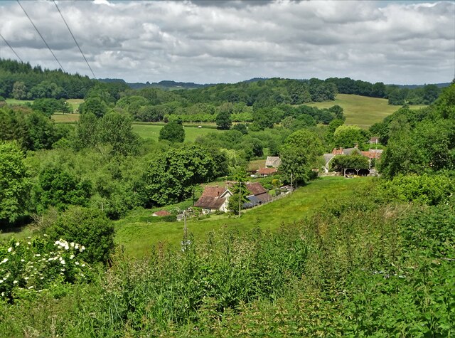
Swallowcliffe is a picturesque village located in the southern part of Wiltshire, England. Situated approximately 10 miles west of Salisbury, it is nestled within the Cranborne Chase and West Wiltshire Downs Area of Outstanding Natural Beauty.

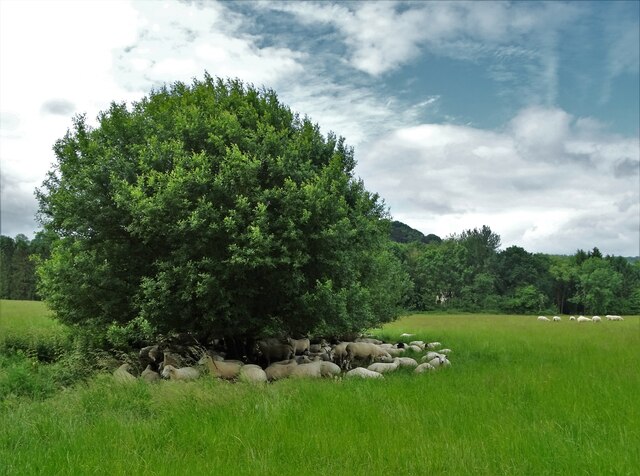
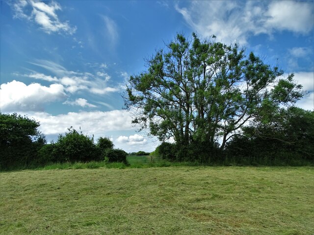
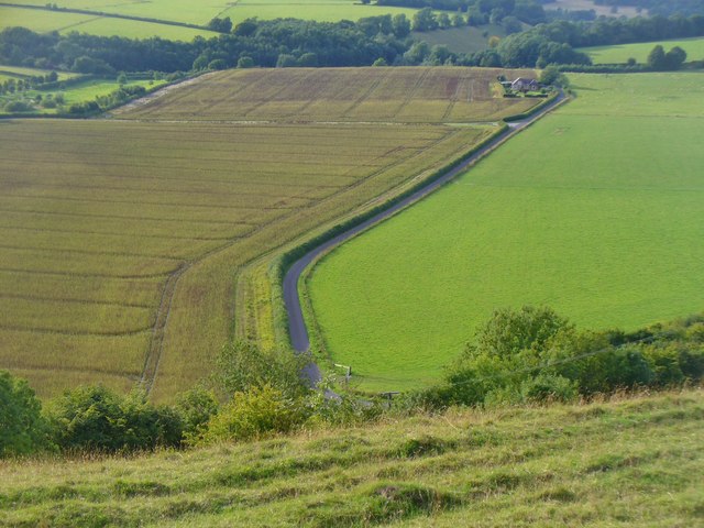
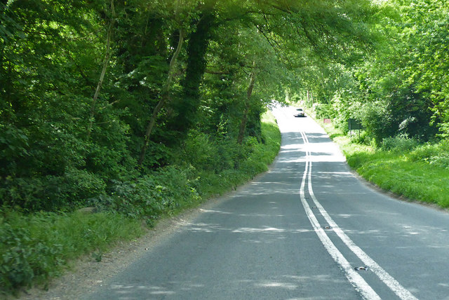
This charming village is known for its idyllic countryside setting, characterized by rolling hills, lush green fields, and meandering streams. Swallowcliffe is home to around 200 residents, creating a close-knit community that exudes a friendly and welcoming atmosphere.

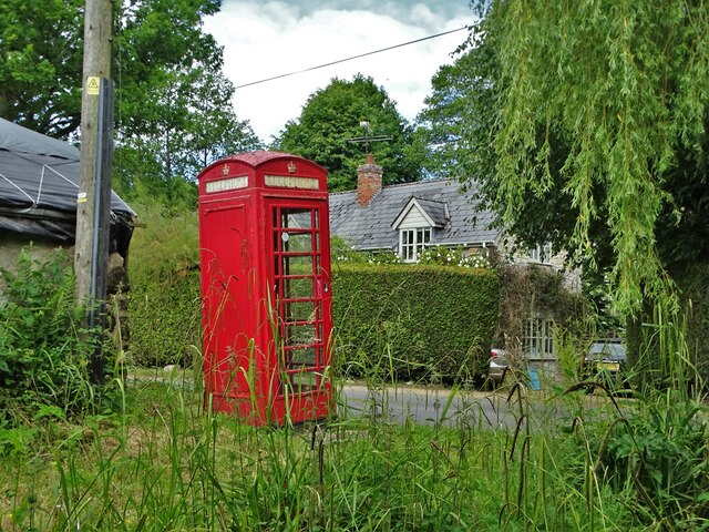
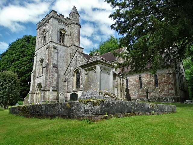
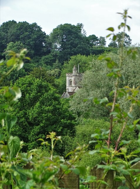
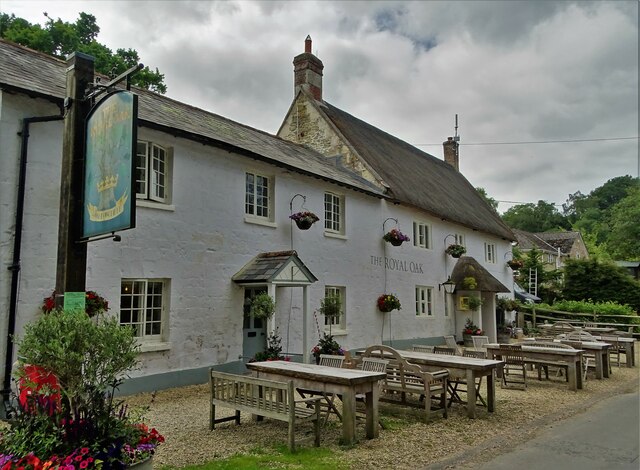
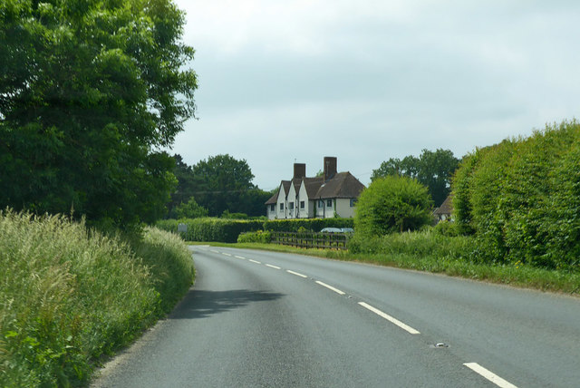
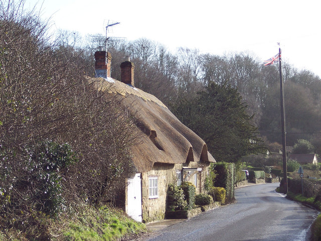
The heart of Swallowcliffe is its historic church, St. Peter's, which dates back to the 12th century. The church's architecture showcases a blend of Norman and Gothic styles, making it a significant heritage site in the area. The village also boasts several thatched cottages, adding to its quintessential English countryside charm.

For nature lovers, Swallowcliffe offers an abundance of outdoor activities. The surrounding area is crisscrossed with footpaths, making it an ideal destination for walkers and hikers. Additionally, the nearby Cranborne Chase provides opportunities for wildlife spotting and birdwatching.

Although Swallowcliffe is a small village, it benefits from its proximity to larger towns. The vibrant city of Salisbury is easily accessible, offering a wide range of amenities, including shops, restaurants, and cultural attractions such as Salisbury Cathedral.

In summary, Swallowcliffe is a delightful village in Wiltshire that offers a tranquil and picturesque setting. With its rich history, stunning natural surroundings, and close community, it provides a charming escape for both residents and visitors alike.

If you have any feedback on the listing, please let us know in the comments section below.

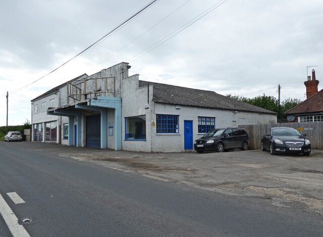
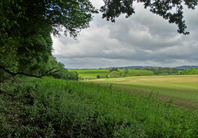
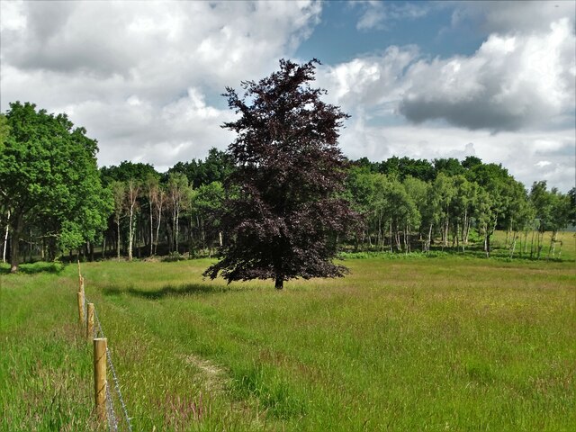
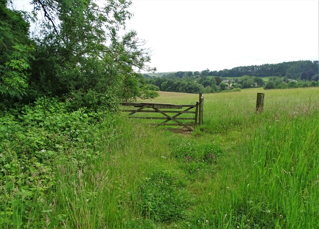
Swallowcliffe Images

Images are sourced within 2km of 51.043714/-2.050864 or Grid Reference ST9627. Thanks to Geograph Open Source API. All images are credited.

Downside Garage
Downside Garage
Looking west to Hardene Lodge
Young copper beech tree, Hardene Wood
On the edge of Swallowcliffe Wood Near Withyslade Farm
On the edge of Swallowcliffe Wood
Near Withyslade Farm
Sheep sheltering in the parish of Swallowcliffe Perhaps they were sheltering from rain that never arrived though the sky looked ominous for a while.
Sheep sheltering in the parish of Swallowcliffe
Perhaps they were sheltering from rain that never arrived though the sky looked ominous for a while.
Disused telephone box in Swallowcliffe
St Peter's Church, Swallowcliffe The current church was built in the mid-nineteenth century, replacing a much older structure.
St Peter's Church, Swallowcliffe
The current church was built in the mid-nineteenth century, replacing a much older structure.
Between Swallowcliffe and Ansty Following a designated but little used footpath over farmland
Between Swallowcliffe and Ansty
Following a designated but little used footpath over farmland
A view of Ansty
A view of Ansty
Signpost in Ansty As you can see, it points the way to Ansty Coombe
Signpost in Ansty
As you can see, it points the way to Ansty Coombe
Common spotted orchid (dactylorhiza fuchsii) Growing in a Wiltshire meadow west of Ansty
Common spotted orchid (dactylorhiza fuchsii)
Growing in a Wiltshire meadow west of Ansty
The tower of St Peter's Church, Swallowcliffe
"The Royal Oak" at Swallowcliffe
Wiltshire Downland Anstey Coombe from Middle Down.
Wiltshire Downland
Anstey Coombe from Middle Down.
A30 heading west The Lancers House is on the bend, offering B&B.
A30 heading west
The Lancers House is on the bend, offering B&B.
A30 road works, Swallowcliffe A lengthy trenching operation was in hand, although it was all deserted on a Sunday.
A30 road works, Swallowcliffe
A lengthy trenching operation was in hand, although it was all deserted on a Sunday.
End of A30 road works, Swallowcliffe The back of lights at the end of a lengthy trenching operation - see <a href="https://www.geograph.org.uk/photo/5805469">ST9726 : A30 road works, Swallowcliffe</a> for the other end. Luckily the road is not very busy.
End of A30 road works, Swallowcliffe
The back of lights at the end of a lengthy trenching operation - see ST9726 : A30 road works, Swallowcliffe for the other end. Luckily the road is not very busy.
A30 heading west Near Ansty.
A30 heading west
Near Ansty.
Show me another place!

Swallowcliffe is located at Grid Ref: ST9627 (Lat: 51.043714, Lng: -2.050864)

Unitary Authority: Wiltshire

Police Authority: Wiltshire

What 3 Words

///doubt.glee.jumpy. Near Ansty, Wiltshire

Related Wikis

Swallowcliffe

Swallowcliffe is a small village and civil parish in Wiltshire, England, about 2 miles (3.2 km) southeast of Tisbury and 11 miles (18 km) west of Salisbury...

Ansty, Wiltshire

Ansty is a small village and civil parish in southwest Wiltshire, England, about 6 miles (10 km) east of Shaftesbury. The village is just north of the...

Castle Ditches

Castle Ditches is the site of an Iron Age trivallate hillfort in the south-east of Tisbury parish in Wiltshire, England. It is probable that its ancient...
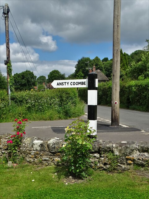
Ansty Coombe

Ansty Coombe is a hamlet in Ansty parish, in southwest Wiltshire, England. It lies about six miles (10 km) east of Shaftesbury, Dorset. == Sources... ==

Nearby Amenities

Located within 500m of 51.043714,-2.050864
Barrier: stile
Lat/Long: 51.044473/-2.0509971
Barrier: stile
Lat/Long: 51.0453036/-2.0522211
Barrier: stile
Lat/Long: 51.0462655/-2.0532883
Barrier: stile
Lat/Long: 51.0463087/-2.0533363
Swallowcliffe
Place: village
Lat/Long: 51.0434716/-2.0496802
Barrier: stile
Lat/Long: 51.0407209/-2.0551916
Barrier: stile
Lat/Long: 51.0414342/-2.0536699
Barrier: stile
Lat/Long: 51.0416665/-2.0531877
Barrier: stile
Lat/Long: 51.0422567/-2.0533737
Barrier: stile
Lat/Long: 51.0426704/-2.0540479
Barrier: stile
Lat/Long: 51.0427697/-2.0527666
Barrier: stile
Lat/Long: 51.0415239/-2.0505696
Barrier: stile
Lat/Long: 51.0467804/-2.0521702
Public Bookcase
Library
Booth: K6
Covered: booth
Disused Amenity: telephone
Man Made: telephone_box
Public Bookcase Type: phone_box
Lat/Long: 51.0435667/-2.0513339
Defibrillator
Defibrillator Location: outside Royal Oak pub in Swallowcliffe
Emergency: defibrillator
Indoor: no
Lat/Long: 51.0433233/-2.0517835
Bench
Lat/Long: 51.0431095/-2.0523015
Information: guidepost
Tourism: information
Lat/Long: 51.0431305/-2.0523648
Post Box
Post Box Type: lamp
Lat/Long: 51.0432322/-2.0520974
The data included in this document is from www.openstreetmap.org. The data is made available under ODbL.

Have you been to Swallowcliffe?

Leave your review of Swallowcliffe below (or comments, questions and feedback).