Swallowfield
Settlement in Berkshire
England
Swallowfield

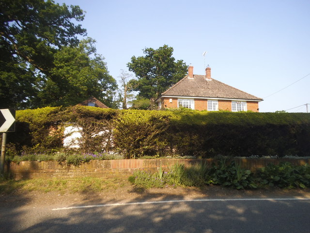
Swallowfield is a small village located in the county of Berkshire, England. Situated approximately 6 miles south of the town of Reading, it falls within the district of Wokingham. The village is surrounded by picturesque countryside, offering residents and visitors a tranquil and idyllic setting.
With a population of around 1,600 people, Swallowfield is a close-knit community that prides itself on its friendly atmosphere and community spirit. The village is home to several amenities, including a local primary school, a village hall, a post office, and a charming 13th-century church. Additionally, there are a few shops and a pub, providing basic necessities and a place for residents to socialize.
Swallowfield is famous for hosting the Swallowfield Show, an annual agricultural event that has been running for over 130 years. The show attracts visitors from far and wide, featuring livestock displays, horse shows, horticultural competitions, and various entertainment options for all ages.
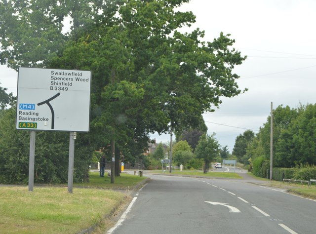
The village is well-connected to surrounding towns and cities, with good transport links via road and rail. The nearby M4 motorway provides easy access to London and other major cities, while the local railway station connects Swallowfield to Reading and beyond.
Surrounded by beautiful countryside, Swallowfield offers numerous opportunities for outdoor activities and exploration. The area boasts several nature reserves, walking trails, and scenic spots, making it a popular destination for nature lovers and outdoor enthusiasts.
In summary, Swallowfield is a charming village in Berkshire that combines rural tranquility with convenient access to nearby towns and cities. Its close-knit community, annual agricultural show, and beautiful surroundings make it an appealing place to live or visit.
If you have any feedback on the listing, please let us know in the comments section below.
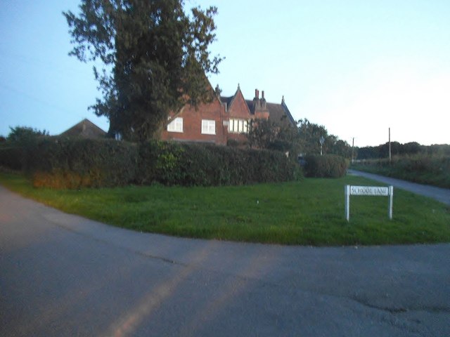
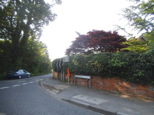
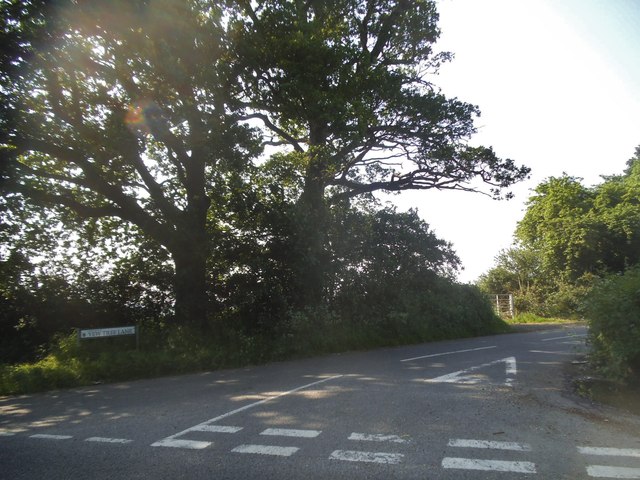
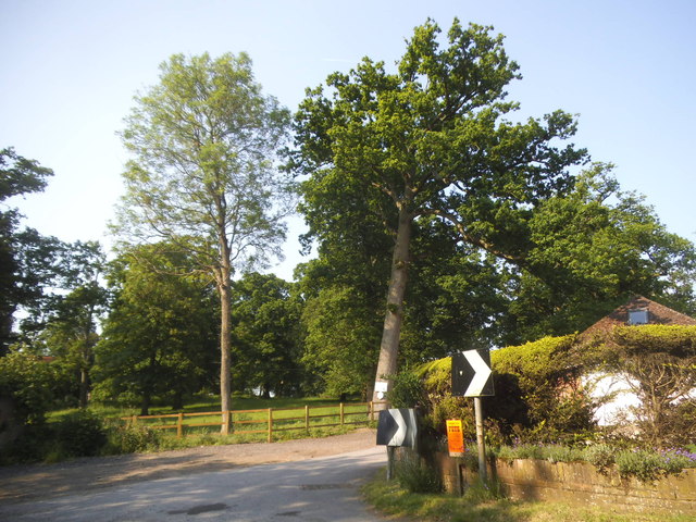
Swallowfield Images
Images are sourced within 2km of 51.375329/-0.966646 or Grid Reference SU7264. Thanks to Geograph Open Source API. All images are credited.


Swallowfield is located at Grid Ref: SU7264 (Lat: 51.375329, Lng: -0.966646)
Unitary Authority: Wokingham
Police Authority: Thames Valley
What 3 Words
///album.winner.turkey. Near Swallowfield, Berkshire
Nearby Locations
Related Wikis

Swallowfield
Swallowfield is a village and civil parish in Berkshire, England, about 5 miles (8 km) south of Reading, and 1 mile (1.6 km) north of the county boundary...

Swallowfield Meadow
Swallowfield Meadow is a 0.7-hectare (1.7-acre) Local Nature Reserve in Swallowfield, south of Reading in Berkshire. It is owned and managed by Swallowfield...

Beaumys Castle
Beaumys Castle, also known as Beams Castle, was a 14th-century fortified manor house in the parish of Swallowfield in the English county of Berkshire....
Stratfield Saye Priory
Stratfield Saye Priory was an alien priory belonging to the Abbey of Vallemont, located at Beech Hill in the Berkshire part of the parish of Stratfield...
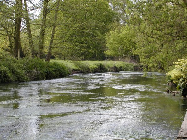
River Blackwater (River Loddon)
The River Blackwater is a tributary of the Loddon in England and sub-tributary of the Thames. It rises at two springs in Rowhill Nature Reserve between...
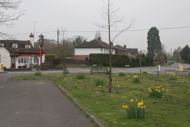
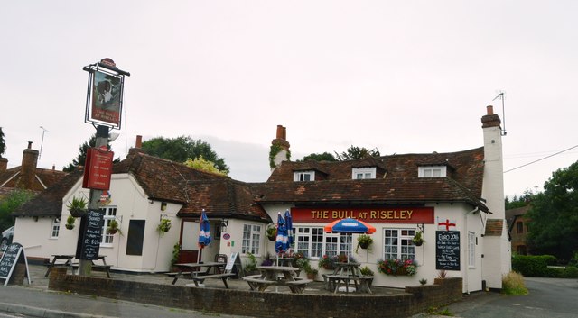
Riseley, Berkshire
Riseley is a village in the English county of Berkshire, adjacent to the border with Hampshire. It is located around 6 miles (9.7 km) south of Reading...
Swallowfield Park
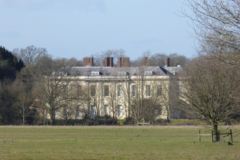
Swallowfield Park is a Grade II* listed stately home and estate in the English county of Berkshire. The house is near the village of Swallowfield, some...

Stanford End Mill and River Loddon
Stanford End Mill and River Loddon is a 11.8-hectare (29-acre) biological Site of Special Scientific Interest south of Reading in Berkshire. It covers...
Nearby Amenities
Located within 500m of 51.375329,-0.966646Have you been to Swallowfield?
Leave your review of Swallowfield below (or comments, questions and feedback).