Swallow Hill
Settlement in Yorkshire
England
Swallow Hill
Swallow Hill is a picturesque village located in the heart of Yorkshire, England. Nestled amidst rolling green hills and surrounded by lush countryside, it offers a tranquil and idyllic setting for its residents and visitors alike. The village is situated just a few miles away from the bustling market town of Harrogate, making it a desirable place to live for those seeking a rural retreat with easy access to amenities.
One of the defining features of Swallow Hill is its charming architecture. The village is characterized by its traditional stone cottages and quaint village green, which add to its overall charm and character. Many of these historic buildings date back several centuries, providing a glimpse into the rich history and heritage of the area.
The natural beauty of the surrounding landscape is a major draw for both locals and tourists. Swallow Hill is blessed with stunning panoramic views, allowing residents to soak in the beauty of the Yorkshire Dales National Park, which is just a stone's throw away. The area is a haven for outdoor enthusiasts, offering a plethora of walking and hiking trails, as well as opportunities for fishing and birdwatching.
Despite its rural location, Swallow Hill is well-connected to nearby towns and cities. The village has a regular bus service, providing convenient access to Harrogate and other neighboring areas. Additionally, the nearby A1 motorway ensures that major cities such as Leeds and York are easily accessible by car.
Overall, Swallow Hill is a charming and picturesque village that offers a peaceful and scenic way of life, making it a highly sought-after location for residents and visitors seeking a slice of rural paradise in Yorkshire.
If you have any feedback on the listing, please let us know in the comments section below.
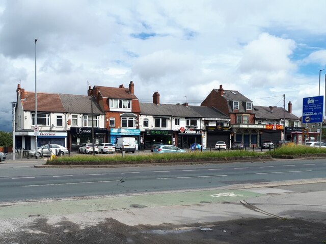
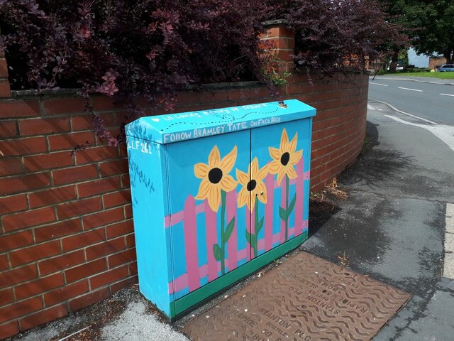
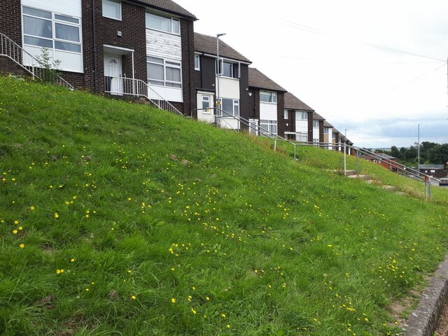
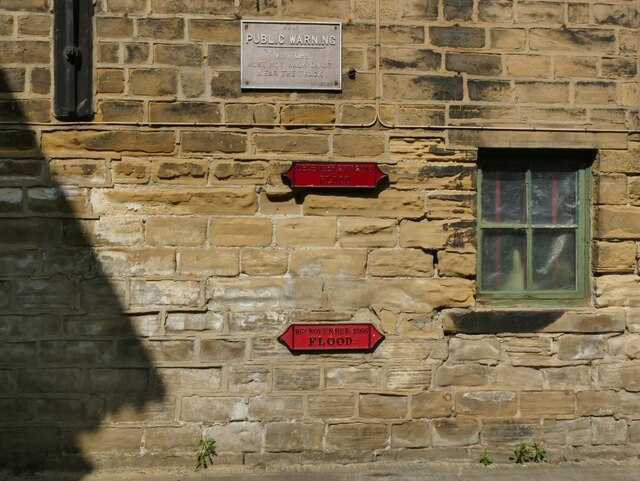
Swallow Hill Images
Images are sourced within 2km of 53.795367/-1.608292 or Grid Reference SE2533. Thanks to Geograph Open Source API. All images are credited.


Swallow Hill is located at Grid Ref: SE2533 (Lat: 53.795367, Lng: -1.608292)
Division: West Riding
Unitary Authority: Leeds
Police Authority: West Yorkshire
What 3 Words
///cups.wrong.video. Near Holbeck, West Yorkshire
Nearby Locations
Related Wikis

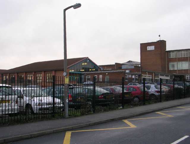
Dixons Unity Academy
Dixons Unity Academy, formerly Swallow Hill Community College is an educational secondary school Academy located in Leeds, West Yorkshire, England. It...
West Leeds High School
West Leeds High School Specialist Technology College was a mixed comprehensive school located in Armley in Leeds, West Yorkshire, England. The school had...

Wortley High School
Wortley High School was a smaller than average secondary school which served an area of high socio-economic deprivation in the Wortley, Armley, and Bramley...
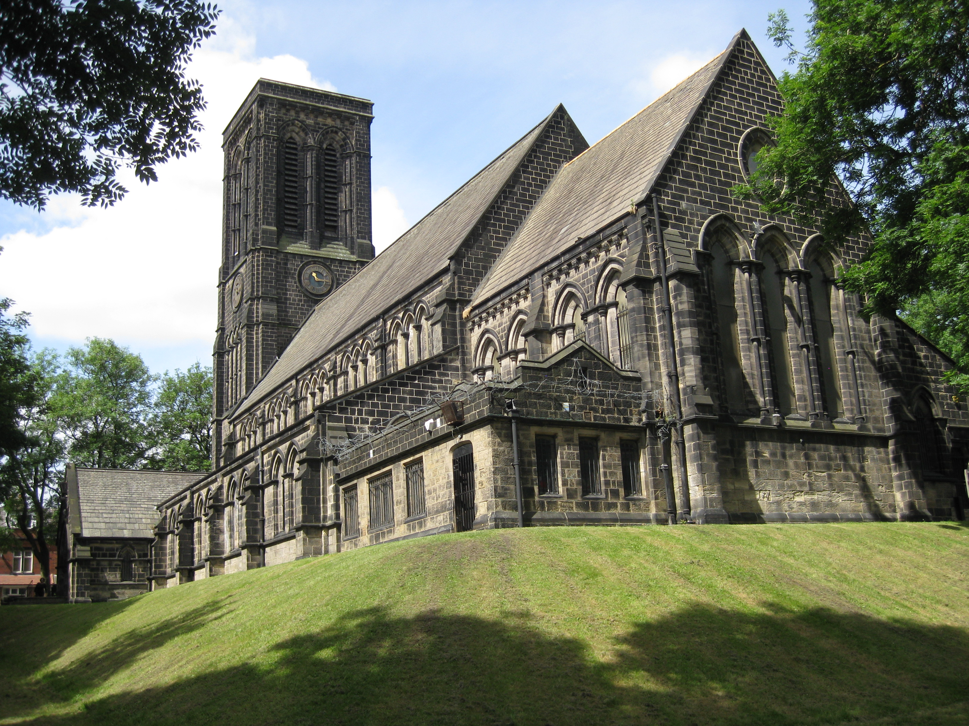
Christ Church, Armley
Christ Church in Armley, Leeds, West Yorkshire, England is an active Anglican parish church in the archdeaconry of Leeds and the Diocese of Leeds. The...
Nearby Amenities
Located within 500m of 53.795367,-1.608292Have you been to Swallow Hill?
Leave your review of Swallow Hill below (or comments, questions and feedback).