Bollihope
Settlement in Durham
England
Bollihope

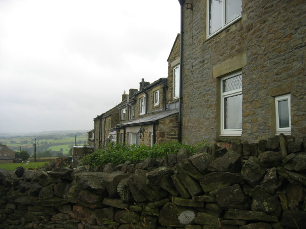
Bollihope is a small rural village located in County Durham, England. Situated in the North Pennines Area of Outstanding Natural Beauty, it offers breathtaking views of the surrounding countryside and is known for its tranquil setting. The village is nestled in the valley of the River Bollihope, from which it derives its name.
Historically, Bollihope was a thriving mining community during the 19th and 20th centuries, with coal being the primary industry. The remains of the former Bollihope Colliery can still be seen today, serving as a reminder of the village's industrial past. The area is also known for its lead mining heritage, with evidence of old mine workings scattered throughout the landscape.
Nature enthusiasts flock to Bollihope to explore its picturesque surroundings. The village is surrounded by vast moorland and offers numerous walking trails, allowing visitors to immerse themselves in the beauty of the North Pennines. Wildlife such as red grouse, curlews, and lapwings can often be spotted in the area.
One of the main attractions in Bollihope is the stunning Bollihope Burn, which cascades down a series of waterfalls known as the Bollihope Linn. These waterfalls provide a picturesque spot for photographers and nature lovers alike.
While Bollihope may be a small village, it offers a peaceful retreat for those seeking to escape the hustle and bustle of city life. With its rich history, breathtaking landscapes, and abundant wildlife, Bollihope is a hidden gem in the heart of County Durham.
If you have any feedback on the listing, please let us know in the comments section below.
Bollihope Images
Images are sourced within 2km of 54.701027/-2.0015197 or Grid Reference NZ0034. Thanks to Geograph Open Source API. All images are credited.


Bollihope is located at Grid Ref: NZ0034 (Lat: 54.701027, Lng: -2.0015197)
Unitary Authority: County Durham
Police Authority: Durham
What 3 Words
///fruity.cleanser.ourselves. Near Stanhope, Co. Durham
Nearby Locations
Related Wikis

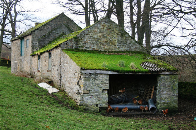
Cornish Hush Mine
The Cornish Hush Mine was a British lead ore and fluorspar mine in Weardale. == Location == The mine was located in the Howden Burn valley in the Bollihope...
Hill End, County Durham
Hill End is a village in the civil parish of Stanhope, in County Durham, England. It is situated on the south side of Weardale, near Frosterley. ��2�...
White Kirkley
White Kirkley is a small village in the civil parish of Stanhope, in County Durham, England. It is situated on the south side of Weardale, opposite Frosterley...

Bridge End, County Durham
Bridge End is a hamlet in the civil parish of Stanhope, in County Durham, England. It is situated on the south bank of the River Wear, on the other side...
Nearby Amenities
Located within 500m of 54.701027,-2.0015197Have you been to Bollihope?
Leave your review of Bollihope below (or comments, questions and feedback).