Stretford

Settlement in Lancashire

England

Stretford

Bridgewater Canal by Hawthorn Rd, Stretford
Bridgewater Canal by Hawthorn Rd, Stretford Credit: Colin Park

Stretford is a town located in Lancashire, England. Situated in the metropolitan borough of Trafford, it lies approximately three miles southwest of the city of Manchester. Stretford is bounded by the River Mersey to the south, which separates it from Sale, and it shares borders with Chorlton-cum-Hardy to the east and Urmston to the west.

Historically, Stretford was a rural area known for its agriculture and farming. However, it experienced significant industrialization during the 19th century, particularly with the establishment of the Trafford Park industrial estate in 1896. This led to the rapid growth of Stretford as many workers settled in the area to be close to employment opportunities.

Today, Stretford is a vibrant and diverse town with a population of around 50,000 people. It boasts a range of amenities, including shopping centers, restaurants, and leisure facilities. The town is home to Old Trafford, one of the most famous football stadiums in the world and the residence of Manchester United Football Club.

Transport links in Stretford are excellent, with easy access to major roads such as the M60 motorway, providing connections to other parts of Greater Manchester and beyond. Stretford also benefits from several Metrolink tram stops, facilitating convenient travel within the region.

Overall, Stretford offers a blend of industrial heritage, modern amenities, and sporting significance, making it an attractive place to live and visit in Lancashire.

If you have any feedback on the listing, please let us know in the comments section below.
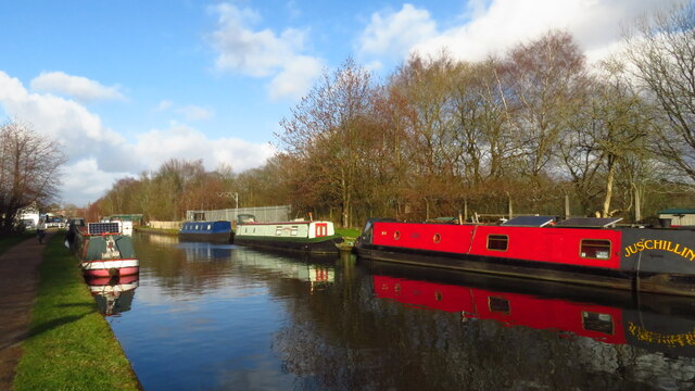
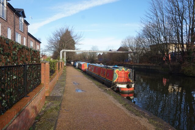
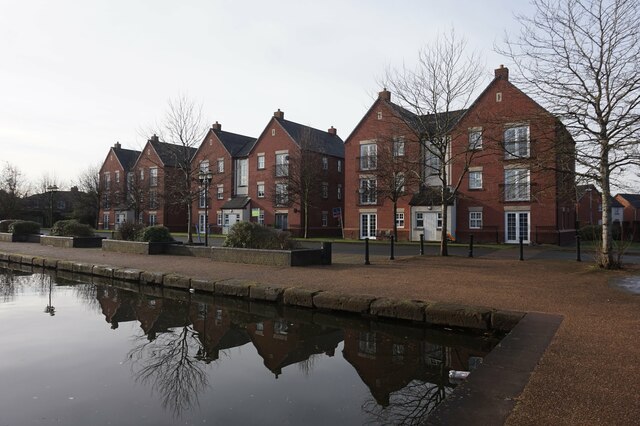
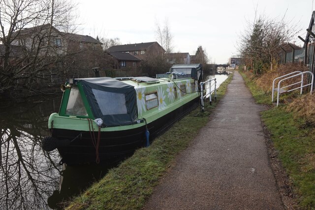
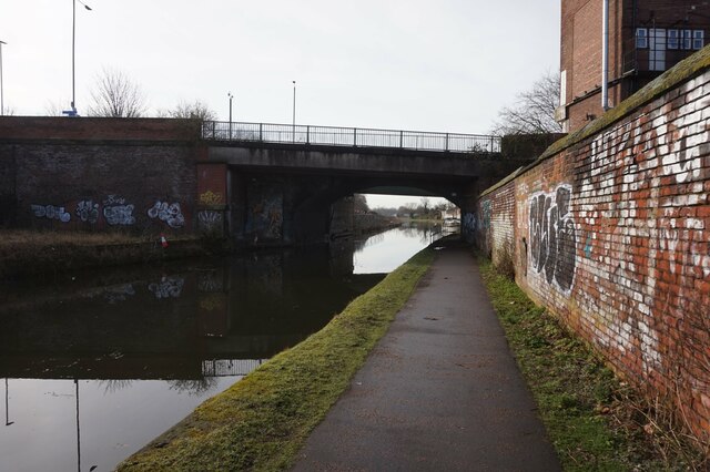
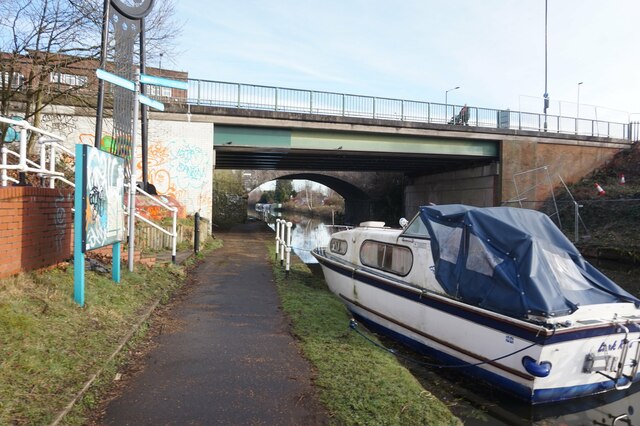
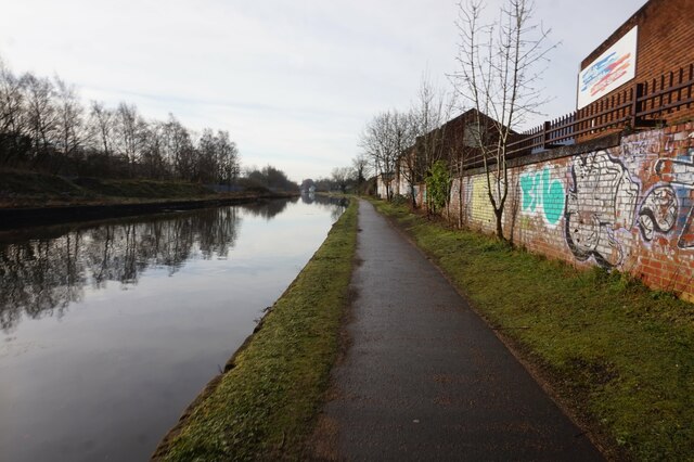
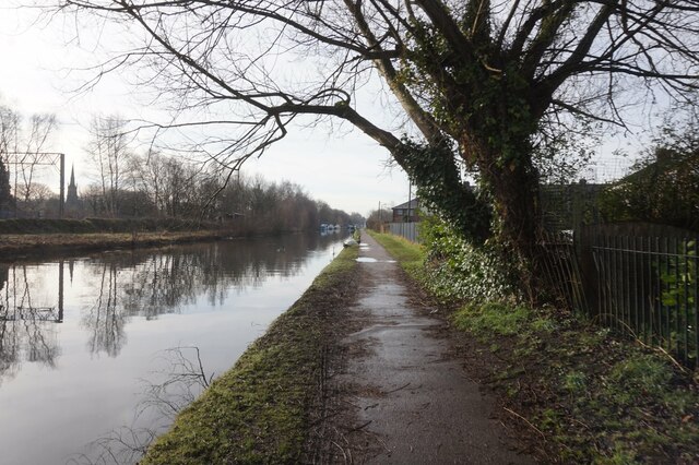
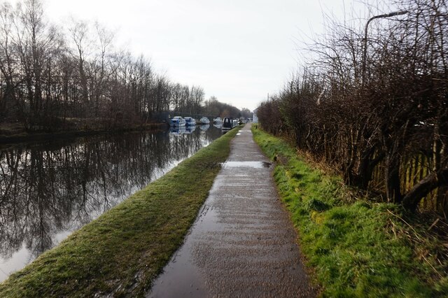
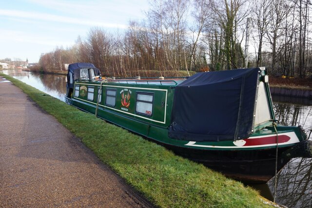
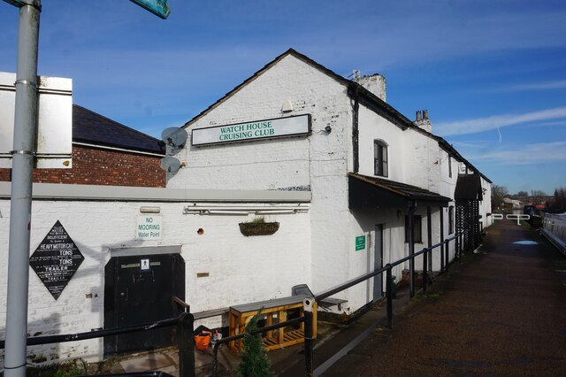
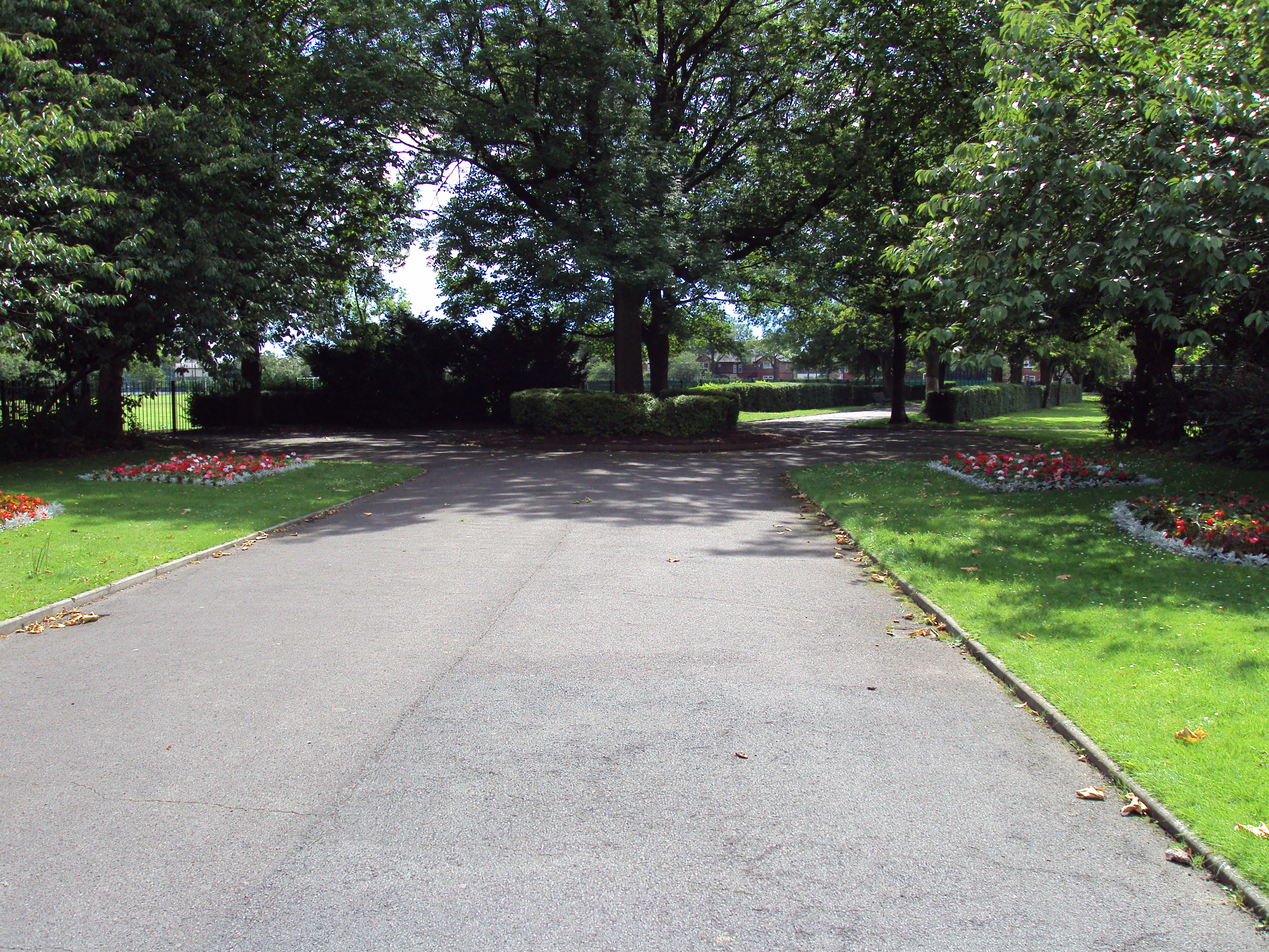
Stretford Images

Images are sourced within 2km of 53.451395/-2.291344 or Grid Reference SJ8095. Thanks to Geograph Open Source API. All images are credited.

Bridgewater Canal by Hawthorn Rd, Stretford
Bridgewater Canal at Europa Gate Road Bridge
Bridgewater Canal towards Stretford
Bridgewater Canal towards the Manchester Ship Canal
Bridgewater Canal towards Stretford
Canal boat Crusader, Bridgewater Canal
Houses at Stretford Marina, Bridgewater Canal
Bridgewater Canal at Stretford Marina
Canal boat Anne, Bridgewater Canal
Bridgewater Canal towards Edge Lane Bridge
Bridgewater Canal at Edge Lane Bridge
Bridgewater Canal towards the M60 Bridge
Bridgewater Canal towards the M6 Bridge
Bridgewater Canal towards the M60 Bridge
Canal boat Phoenix, Bridgewater Canal
Watch House Cruising Club, Bridgewater Canal
Show me another place!

Stretford is located at Grid Ref: SJ8095 (Lat: 53.451395, Lng: -2.291344)

Unitary Authority: Trafford

Police Authority: Greater Manchester

What 3 Words

///smart.souk.cool. Near Stretford, Manchester

Nearby Locations

Stretford Gorse Hill

Related Wikis

Gorse Hill

Gorse Hill is an area of Stretford, Greater Manchester, England. The population at the 2011 census was 11,894. It is a residential area with two minor...

Old Trafford Cricket Ground

Old Trafford is a cricket ground in Old Trafford, Greater Manchester, England. It opened in 1857 as the home of Manchester Cricket Club and has been the...

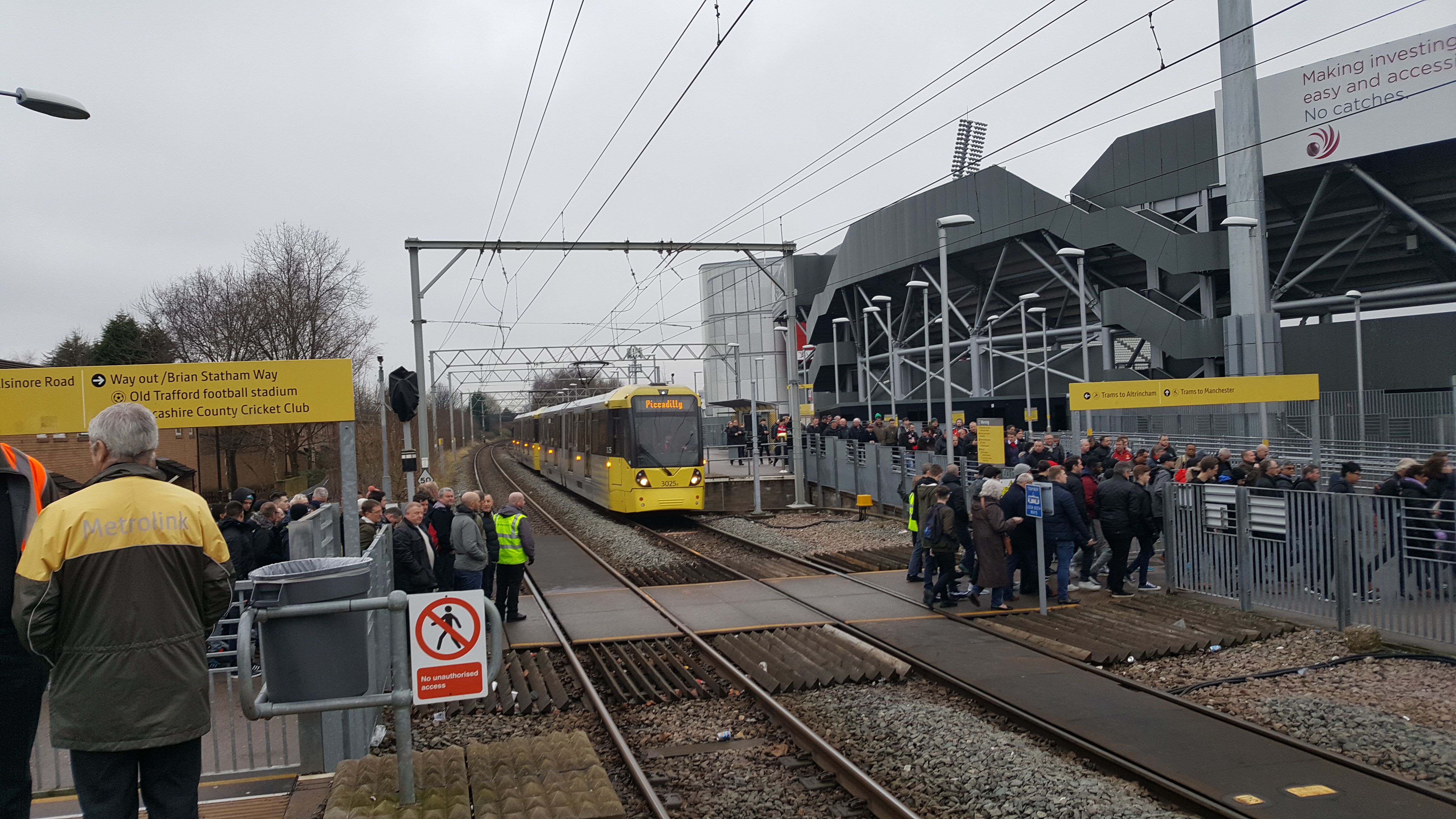
Old Trafford tram stop

Old Trafford is a tram stop on the Altrincham Line of the Metrolink light rail system in Old Trafford, Greater Manchester, England. Before 1991, it was...

Stretford High School

Stretford High School is an 11-16 non-selective secondary school in the borough of Trafford, Manchester. The school has working partnerships with both...

Nearby Amenities

Located within 500m of 53.451395,-2.291344
Turning Circle
Lat/Long: 53.451655/-2.2915245
Turning Circle
Lat/Long: 53.4513846/-2.2923077
Turning Circle
Lat/Long: 53.4537148/-2.2863856
Bus Stop
Greatstone Road/B & Q
Bus: yes
Naptan AtcoCode: 1800SJ32151
Naptan Bearing: NW
Naptan CommonName: Greatstone Road/B & Q
Naptan Indicator: Opp B&q
Naptan Landmark: HOUSE 40
Naptan NaptanCode: manjtgjw
Naptan PlusbusZoneRef: MNCRPIC
Naptan ShortCommonName: B & Q
Naptan Street: GREATSTONE ROAD
Naptan Verified: no
Network: TfGM
Public Transport: platform
Route Ref: School Buses Only
Shelter: no
Source: naptan_import
Tactile Paving: no
Lat/Long: 53.4553408/-2.2902021
Bus Stop
Greatstone Road/B & Q
Bus: yes
Naptan AtcoCode: 1800SJ32161
Naptan Bearing: SE
Naptan CommonName: Greatstone Road/B & Q
Naptan Indicator: B&q
Naptan Landmark: CRICKET CLUB
Naptan NaptanCode: manjtgma
Naptan PlusbusZoneRef: MNCRPIC
Naptan ShortCommonName: B & Q
Naptan Street: GREATSTONE ROAD
Naptan Verified: no
Network: TfGM
Public Transport: platform
Route Ref: School Buses Only
Shelter: yes
Source: naptan_import
Tactile Paving: no
Lat/Long: 53.4551709/-2.2897605
Bus Stop
The Quadrant/Greatstone Road
Bus: yes
Naptan AtcoCode: 1800SJ32171
Naptan Bearing: SE
Naptan CommonName: The Quadrant/Greatstone Road
Naptan Indicator: The Quadrantpub
Naptan Landmark: THE QUADRANTPUB
Naptan NaptanCode: manjtgmd
Naptan PlusbusZoneRef: MNCRPIC
Naptan ShortCommonName: Greatstone Road
Naptan Street: THE QUADRANT
Naptan Verified: no
Network: TfGM
Public Transport: platform
Route Ref: 15
Source: naptan_import
Lat/Long: 53.4530017/-2.2866885
Bus Stop
The Quadrant/Greatstone Road
Bus: yes
Naptan AtcoCode: 1800SJ32181
Naptan Bearing: NW
Naptan CommonName: The Quadrant/Greatstone Road
Naptan Indicator: Library
Naptan Landmark: LIBRARY
Naptan NaptanCode: manjtgmg
Naptan PlusbusZoneRef: MNCRPIC
Naptan ShortCommonName: Greatstone Road
Naptan Street: THE QUADRANT
Naptan Verified: no
Network: TfGM
Public Transport: platform
Route Ref: 15
Source: naptan_import
Lat/Long: 53.4519655/-2.2867828
Bus Stop
Kings Road/The Quadrant
Bus: yes
Naptan AtcoCode: 1800SJ32191
Naptan Bearing: NE
Naptan CommonName: Kings Road/The Quadrant
Naptan Indicator: House 346
Naptan Landmark: HOUSE 344
Naptan NaptanCode: manjtgmj
Naptan PlusbusZoneRef: MNCRPIC
Naptan ShortCommonName: The Quadrant
Naptan Street: KINGS ROAD
Naptan Verified: no
Network: TfGM
Public Transport: platform
Route Ref: 15
Source: naptan_import
Lat/Long: 53.4522902/-2.2877996
Bus Stop
Kings Road/Kings Terrace
Bus: yes
Naptan AtcoCode: 1800SJ32201
Naptan Bearing: NE
Naptan CommonName: Kings Road/Kings Terrace
Naptan Indicator: House 380
Naptan Landmark: HOUSE 378
Naptan NaptanCode: manjtgmp
Naptan PlusbusZoneRef: MNCRPIC
Naptan ShortCommonName: Kings Terrace
Naptan Street: KINGS ROAD
Naptan Verified: no
Network: TfGM
Public Transport: platform
Route Ref: 15
Source: naptan_import
Lat/Long: 53.4516445/-2.2901058
Bus Stop
Kings Road/Kings Terrace
Bus: yes
Naptan AtcoCode: 1800SJ32211
Naptan Bearing: SW
Naptan CommonName: Kings Road/Kings Terrace
Naptan Indicator: House 387
Naptan Landmark: HOUSE 387
Naptan NaptanCode: manjtgmt
Naptan PlusbusZoneRef: MNCRPIC
Naptan ShortCommonName: Kings Terrace
Naptan Street: KINGS ROAD
Naptan Verified: no
Network: TfGM
Public Transport: platform
Route Ref: 15
Source: naptan_import
Lat/Long: 53.4514112/-2.2902458
Bus Stop
Kings Road/Cromwell Road
Bus: yes
Naptan AtcoCode: 1800SJ32221
Naptan Bearing: NE
Naptan CommonName: Kings Road/Cromwell Road
Naptan Indicator: House 438
Naptan Landmark: HOUSE 438
Naptan NaptanCode: manjtgmw
Naptan PlusbusZoneRef: MNCRPIC
Naptan ShortCommonName: Cromwell Road
Naptan Street: KINGS ROAD
Naptan Verified: no
Network: TfGM
Public Transport: platform
Route Ref: 15
Source: naptan_import
Lat/Long: 53.4507301/-2.293338
Bus Stop
Kings Road/Marston Road
Bus: yes
Naptan AtcoCode: 1800SJ32231
Naptan Bearing: SW
Naptan CommonName: Kings Road/Marston Road
Naptan Indicator: House 451
Naptan Landmark: HOUSE 451
Naptan NaptanCode: manjtgpa
Naptan PlusbusZoneRef: MNCRPIC
Naptan ShortCommonName: Marston Road
Naptan Street: KINGS ROAD
Naptan Verified: no
Network: TfGM
Public Transport: platform
Route Ref: 15
Source: naptan_import
Lat/Long: 53.4500768/-2.2947584
Bus Stop
Kings Road/Marston Road
Bus: yes
Naptan AtcoCode: 1800SJ32241
Naptan Bearing: NE
Naptan CommonName: Kings Road/Marston Road
Naptan Indicator: Sub Station
Naptan Landmark: SUB STATION
Naptan NaptanCode: manjtgpd
Naptan PlusbusZoneRef: MNCRPIC
Naptan ShortCommonName: Marston Road
Naptan Street: KINGS ROAD
Naptan Verified: no
Network: TfGM
Public Transport: platform
Route Ref: 15
Source: naptan_import
Lat/Long: 53.4498775/-2.2960292
Bus Stop
Renton Road/Milton Road
Bus: yes
Naptan AtcoCode: 1800SJ00701
Naptan Bearing: NE
Naptan CommonName: Renton Road/Milton Road
Naptan Indicator: Factory Yard
Naptan Landmark: FACTORY
Naptan NaptanCode: manjmpdp
Naptan PlusbusZoneRef: MNCRPIC
Naptan ShortCommonName: Milton Road
Naptan Street: RENTON ROAD
Naptan Verified: no
Network: TfGM
Public Transport: platform
Route Ref: Not In Use
Source: naptan_import
Lat/Long: 53.4521973/-2.2962487
Bus Stop
Talbot Road/Gorse Hill Park
Bus: yes
Naptan AtcoCode: 1800SJ16921
Naptan Bearing: SW
Naptan CommonName: Talbot Road/Gorse Hill Park
Naptan Indicator: Chip Shop
Naptan Landmark: PARK
Naptan NaptanCode: manjtdjt
Naptan PlusbusZoneRef: MNCRPIC
Naptan ShortCommonName: Gorse Hill Park
Naptan Street: TALBOT ROAD
Naptan Verified: no
Network: TfGM
Public Transport: platform
Route Ref: Match Days Only
Shelter: no
Source: naptan_import
Tactile Paving: no
Lat/Long: 53.4547609/-2.2943835
Bus Stop
Talbot Road/Gorse Hill Park
Bus: yes
Naptan AtcoCode: 1800SJ16931
Naptan Bearing: NE
Naptan CommonName: Talbot Road/Gorse Hill Park
Naptan Indicator: Park
Naptan Landmark: PARK
Naptan NaptanCode: manjtdjw
Naptan PlusbusZoneRef: MNCRPIC
Naptan ShortCommonName: Gorse Hill Park
Naptan Street: TALBOT ROAD
Naptan Verified: no
Network: TfGM
Public Transport: platform
Route Ref: 253;Match Days Only
Shelter: no
Source: naptan_import
Tactile Paving: no
Lat/Long: 53.4546788/-2.2949405
Pub
The Quadrant
Addr Postcode: M32 8GR
Fhrs Id: 574141
Source Addr: FHRS Open Data
Lat/Long: 53.4530996/-2.2867539
Turning Circle
Lat/Long: 53.4518618/-2.2927615
Turning Circle
Lat/Long: 53.4530785/-2.2954132
Turning Circle
Lat/Long: 53.4515553/-2.293487
Turning Circle
Lat/Long: 53.4523493/-2.2943746
Turning Circle
Lat/Long: 53.453179/-2.2919343
Turning Circle
Lat/Long: 53.4538264/-2.293766
Turning Circle
Lat/Long: 53.4538747/-2.2905575
Turning Circle
Lat/Long: 53.4534632/-2.2959294
Turning Circle
Lat/Long: 53.4542037/-2.2942575
Turning Circle
Lat/Long: 53.4530865/-2.2880026
Crossing
Crossing Island: yes
Lat/Long: 53.4529107/-2.2871683
Crossing
Crossing Island: yes
Lat/Long: 53.4529778/-2.2871804
Turning Circle
Lat/Long: 53.4525823/-2.2883005
The Washeteria
Shop: laundry
Lat/Long: 53.4530644/-2.2865098
Sunrise Windows
Phone: +44 161 866 8862
Shop: windows
Lat/Long: 53.4529911/-2.2966841
Cafe
Bread and Breakfast
Addr Postcode: M32 8GR
Fhrs Id: 977960
Source Addr: FHRS Open Data
Lat/Long: 53.4528608/-2.2861638
Quadrant Barber
Phone: +44 161 610 1695
Shop: hairdresser
Lat/Long: 53.4529303/-2.286005
Operator: Electricity North West
Power: substation
Substation: minor_distribution
Website: https://www.enwl.co.uk
Lat/Long: 53.4476633/-2.295279
Filter Express
Phone: +44 161 866 8080
Shop: filters
Lat/Long: 53.4525881/-2.2969806
Street Ninja Youth Collective
Leisure: sports_centre
Phone: +44 7748 567 595
Sport: martial_arts
Lat/Long: 53.4527075/-2.2977359
Fast Food
Bei Jing
Addr Postcode: M32 8GR
Cuisine: chinese
Fhrs Id: 1286886
Source Addr: FHRS Open Data
Lat/Long: 53.4530101/-2.2863248
Auto Express
Phone: +44 161 866 8866
Shop: tyres
Lat/Long: 53.4522261/-2.296992
Quadrant Local
Addr Postcode: M32 8GR
Fhrs Id: 120601
Shop: convenience
Source Addr: FHRS Open Data
Lat/Long: 53.452832/-2.2859975
Post Box
Collection Times: Mo-Fr 09:00; Sa 07:00
Ref: M32 218
Lat/Long: 53.4553849/-2.2925175
Sports Therapist
Reiki
Lat/Long: 53.4529128/-2.2859928
Cadbury
Shop: newsagent
Lat/Long: 53.4495519/-2.2972816
Place Of Worship
The Potters House Church
Religion: christian
Lat/Long: 53.4533423/-2.297199
Late Shop
Opening Hours: Mo-Fr 07:00-23:00; Sa,Su 08:00-23:00
Shop: beverages
Lat/Long: 53.4531107/-2.2871308
Car Rental
Enterprise
Brand: Enterprise
Brand Wikidata: Q17085454
Brand Wikipedia: en:Enterprise Rent-A-Car
Official Name: Enterprise Rent-A-Car
Lat/Long: 53.4530267/-2.2977754
WeBuynSellAnyCar.com
Shop: car
Lat/Long: 53.4526902/-2.2971223
Wines Groceries
Shop: convenience
Lat/Long: 53.4547421/-2.2940934
Centrum.uk.com
Phone: +44 161 865 6555
Shop: computer
Lat/Long: 53.4530454/-2.2975678
F1 Auto
Shop: car_repair
Lat/Long: 53.452819/-2.2972714
Fast Food
Pizzapoint
Addr Postcode: M16 0HH
Cuisine: pizza
Fhrs Id: 807272
Phone: +44 161 881 1899
Source Addr: FHRS Open Data
Lat/Long: 53.4528409/-2.28587
Accountants
Michael Chung & Co.
Office: accountant
Phone: +44 161 881 8419
Lat/Long: 53.4529774/-2.2862899
Power: substation
Lat/Long: 53.4499795/-2.2961231
Saf's Kutz
Shop: hairdresser
Lat/Long: 53.4528598/-2.2857943
Crossing
Button Operated: yes
Crossing: traffic_signals
Crossing Ref: puffin
Kerb: flush
Tactile Paving: yes
Lat/Long: 53.4537044/-2.2969371
Fast Food
The Flamin' Chicken
Addr City: Stretford
Addr Housenumber: 65
Addr Postcode: M32 8GR
Addr Street: Great Stone Road
Cuisine: chicken
Delivery: yes
Opening Hours: Mo-Su 11:30-22:30
Phone: +44 161 861 0786
Takeaway: yes
Website: https://www.theflaminchicken.com/
Lat/Long: 53.4530655/-2.287069
Carcare Centre
Phone: +44 161 866 8866
Shop: car_repair
Lat/Long: 53.4524973/-2.2974355
Post Box
Ref: M32 408
Lat/Long: 53.4525164/-2.2956149
Old Name: Coral
Shop: vacant
Lat/Long: 53.45282/-2.2861129
A1 Tyres & Tracking
Phone: +44 161 864 4005
Shop: tyres
Lat/Long: 53.4531742/-2.2969058
Pharmacy
C & T Pharmacy
Addr Postcode: M32 8GR
Fhrs Id: 616311
Healthcare: pharmacy
Phone: +44 161 881 4777
Source Addr: FHRS Open Data
Lat/Long: 53.453046/-2.2864093
Trafford M.O.T.
Shop: car_repair
Lat/Long: 53.4529468/-2.2979291
Aromatherapist
Human Touch
Lat/Long: 53.4529477/-2.2860221
Fast Food
Ming Dynasty
Addr Housenumber: 237
Addr Postcode: M32 0YW
Addr Street: Talbot Road
Cuisine: chinese;fish_and_chips
Delivery: yes
Fhrs Id: 120512
Opening Hours: Mo-Th 11:30-14:00, 17:00-22:30; Fr 11:00-14:00, 17:00-23:00; Sa 17:00-23:00
Phone: +44 161 865 2828
Source Addr: FHRS Open Data
Takeaway: only
Website: http://www.local-takeout.co.uk/mingdynasty/
Lat/Long: 53.4546273/-2.2943353
Restaurant
Shiva Tandoori & Balti House
Cuisine: indian
Phone: +44 161 861 7455
Lat/Long: 53.4529055/-2.2862148
Post Box
Collection Times: Mo-Fr 17:15; Sa 12:00
Ref: M32 74
Lat/Long: 53.4531251/-2.287285
Old Phone: +44 161 865 1939
Removed Amenity: telephone
Lat/Long: 53.4534961/-2.2972185
Roop
Phone: +44 161 882 0305
Shop: beauty
Lat/Long: 53.4529494/-2.2862591
Chothia Brothers
Addr Housenumber: 235
Addr Postcode: M32 0YW
Addr Street: Talbot Road
Phone: +44 161 865 2834
Shop: newsagent
Lat/Long: 53.4547054/-2.2941681
Post Box
Ref: M32 496
Lat/Long: 53.4494572/-2.2966093
Barrier: cycle_barrier
Lat/Long: 53.4532463/-2.2872843
Barrier: cycle_barrier
Lat/Long: 53.4536898/-2.2869372
Barrier: cycle_barrier
Lat/Long: 53.4535021/-2.2871552
Crossing
Crossing Island: yes
Lat/Long: 53.4519856/-2.286105
Crossing
Crossing: zebra
Lat/Long: 53.4550216/-2.2895088
Defibrillator
Emergency: defibrillator
Lat/Long: 53.4516493/-2.2872996
Crossing
Crossing Island: yes
Lat/Long: 53.4523332/-2.2873407
Crossing
Crossing Island: yes
Lat/Long: 53.4529502/-2.2872735
Crossing
Crossing Island: yes
Lat/Long: 53.4526564/-2.2861017
Crossing
Crossing Island: yes
Lat/Long: 53.452592/-2.2860426
Crossing
Crossing Island: yes
Lat/Long: 53.4522594/-2.2872547
Crossing
Crossing Island: yes
Lat/Long: 53.4523521/-2.2872074
Crossing
Crossing: unmarked
Lat/Long: 53.4526293/-2.286298
Crossing
Crossing: unmarked
Crossing Island: no
Crossing Markings: no
Tactile Paving: yes
Lat/Long: 53.4523178/-2.2870763
Crossing
Crossing Island: yes
Lat/Long: 53.4525936/-2.2861894
Crossing
Crossing Island: yes
Lat/Long: 53.4519625/-2.2862068
Crossing
Crossing Island: yes
Lat/Long: 53.452024/-2.2861985
Cafe
Cookhouse
Addr Housenumber: 239
Addr Postcode: M32 0YW
Addr Street: Talbot Road
Cuisine: sandwich
Internet Access: wlan
Internet Access Fee: no
Opening Hours: Mo-Fr 08:00-14:00; Sa-Su 09:00-14:00
Phone: +44 161 866 9845
Lat/Long: 53.4546103/-2.2943848
Restaurant
Blue Nile Café
Addr City: Stretford
Addr Housenumber: 289
Addr Postcode: M32 0YA
Addr Street: Talbot Road
Capacity: 25
Cuisine: ethiopian
Opening Hours: Tu-Fr 11:00-14:00; Tu 16:00-18:00; We-Fr 16:00-21:00; Sa-Su 11:00-21:00
Outdoor Seating: no
Phone: +44 7983 584109
Website: https://bluenilecafe.wordpress.com/
Lat/Long: 53.4531406/-2.2977601
Barrier: jersey_barrier
Lat/Long: 53.4550012/-2.2892852
Crossing
Crossing: zebra
Lat/Long: 53.4545319/-2.2886019
Noexit: yes
Lat/Long: 53.4488396/-2.2919516
Barrier: bollard
Bicycle: yes
Foot: yes
Motor Vehicle: no
Lat/Long: 53.4486445/-2.2915167
Crossing
Crossing: uncontrolled
Crossing Ref: zebra
Lat/Long: 53.4473102/-2.2926634
Traffic Calming: hump
Lat/Long: 53.4490842/-2.2967176
RK Parlour
Shop: beauty
Lat/Long: 53.4531675/-2.2871939
Traffic Calming: cushion
Lat/Long: 53.4542087/-2.2962832
Traffic Calming: cushion
Lat/Long: 53.4545459/-2.2967102
Turning Circle
Lat/Long: 53.44816/-2.2936209
Noexit: yes
Lat/Long: 53.448039/-2.2929567
Passing Place
Lat/Long: 53.4480596/-2.2911288
Traffic Calming: bump
Lat/Long: 53.4473352/-2.2927645
Traffic Calming: bump
Lat/Long: 53.4473175/-2.2926928
Traffic Calming: bump
Lat/Long: 53.4473013/-2.2926293
Traffic Calming: bump
Lat/Long: 53.4473266/-2.2924532
Traffic Calming: bump
Lat/Long: 53.4473672/-2.2924201
Crossing
Crossing: uncontrolled
Crossing Ref: zebra
Lat/Long: 53.4473491/-2.2924347
Bench
Lat/Long: 53.4472696/-2.2919743
Bench
Lat/Long: 53.4472561/-2.2919262
Bench
Lat/Long: 53.4472422/-2.2918789
Entrance: yes
Lat/Long: 53.4478302/-2.2918045
Entrance: yes
Lat/Long: 53.4478703/-2.2917742
Barrier: block
Bicycle: yes
Foot: yes
Material: wood
Motor Vehicle: no
Lat/Long: 53.4475588/-2.2948608
Disc Golf: basket
Lat/Long: 53.449192/-2.2908037
Disc Golf: tee
Lat/Long: 53.4486834/-2.2912286
Disc Golf: basket
Lat/Long: 53.450404/-2.2899057
Mounting Block
Lat/Long: 53.4480787/-2.2918959
Traffic Calming: bump
Lat/Long: 53.4475049/-2.2923093
Traffic Calming: bump
Lat/Long: 53.4474165/-2.2923803
Playground: basketswing
Lat/Long: 53.4502898/-2.2915315
Backrest: no
Covered: no
Leisure: picnic_table
Lat/Long: 53.4501279/-2.2909483
Natural: rock
Lat/Long: 53.4501972/-2.2908555
Backrest: no
Covered: no
Leisure: picnic_table
Lat/Long: 53.4499797/-2.2913812
Playground: climbingframe
Lat/Long: 53.4501796/-2.2910534
Playground: slide
Lat/Long: 53.4501511/-2.2911019
Playground: roundabout
Lat/Long: 53.4499686/-2.2915387
Leisure: picnic_table
Lat/Long: 53.4493385/-2.2894938
Recycling
Recycling Type: container
Lat/Long: 53.4477769/-2.2894559
Disc Golf: tee
Par: 3
Lat/Long: 53.4499678/-2.2898865
Colour: blue
Disc Golf: tee
Ref: 9
Lat/Long: 53.4492487/-2.2894122
Disc Golf: tee
Lat/Long: 53.4485534/-2.2898196
Disc Golf: basket
Lat/Long: 53.4490921/-2.2892551
Colour: red
Disc Golf: tee
Lat/Long: 53.4489956/-2.2901081
Colour: red
Disc Golf: tee
Lat/Long: 53.4488286/-2.2898863
Colour: blue
Disc Golf: tee
Par: 3
Ref: 18
Lat/Long: 53.4492441/-2.2896627
Bench
Backrest: yes
Material: metal
Lat/Long: 53.4487061/-2.2892924
Disc Golf: tee
Lat/Long: 53.4492672/-2.2898204
Disc Golf: basket
Lat/Long: 53.4497374/-2.2895372
Disc Golf: basket
Lat/Long: 53.4501055/-2.2885673
Disc Golf: tee
Par: 3
Lat/Long: 53.4499208/-2.2903998
Disc Golf: basket
Lat/Long: 53.4511194/-2.2888849
Disc Golf: tee
Lat/Long: 53.4506543/-2.2885072
Disc Golf: tee
Lat/Long: 53.4514338/-2.2884214
Disc Golf: tee
Lat/Long: 53.4510287/-2.2882325
Disc Golf: basket
Lat/Long: 53.4503182/-2.2878206
Disc Golf: basket
Lat/Long: 53.4484768/-2.2908869
Disc Golf: basket
Lat/Long: 53.4486314/-2.2910135
Leisure: picnic_table
Lat/Long: 53.4493125/-2.2893773
Disc Golf: tee
Lat/Long: 53.4499659/-2.28779
Disc Golf: basket
Lat/Long: 53.4492502/-2.2888264
Disc Golf: tee
Lat/Long: 53.4492081/-2.288099
Disc Golf: basket
Lat/Long: 53.4487212/-2.2889895
Disc Golf: tee
Lat/Long: 53.4503764/-2.28935
Disc Golf: tee
Lat/Long: 53.4498665/-2.2883178
Disc Golf: tee
Lat/Long: 53.4507904/-2.2904743
Disc Golf: tee
Lat/Long: 53.4508984/-2.2903692
Disc Golf: tee
Lat/Long: 53.4511098/-2.2897137
Bicycle Parking
Bicycle Parking: stands
Covered: no
Fee: no
Lat/Long: 53.4484485/-2.2911438
Barrier: kerb
Kerb: flush
Wheelchair: yes
Lat/Long: 53.454975/-2.2896661
Barrier: kerb
Kerb: flush
Wheelchair: yes
Lat/Long: 53.4549588/-2.2897058
Barrier: bollard
Lat/Long: 53.4519402/-2.298573
The data included in this document is from www.openstreetmap.org. The data is made available under ODbL.

Have you been to Stretford?

Leave your review of Stretford below (or comments, questions and feedback).