Stretford

Settlement in Herefordshire

England

Stretford

Waymarker post on the footpath near Westeaton, Leominster The waymarker post also carries one of those planning notices or footpath diversion notices that no one ever reads....
Waymarker post on the footpath near Westeaton, Leominster Credit: Jeremy Bolwell

Stretford is a small village located in the county of Herefordshire, England. Situated in the picturesque Wye Valley, it is nestled between the towns of Hereford and Ross-on-Wye. With a population of around 500 residents, Stretford exudes a quaint and peaceful atmosphere.

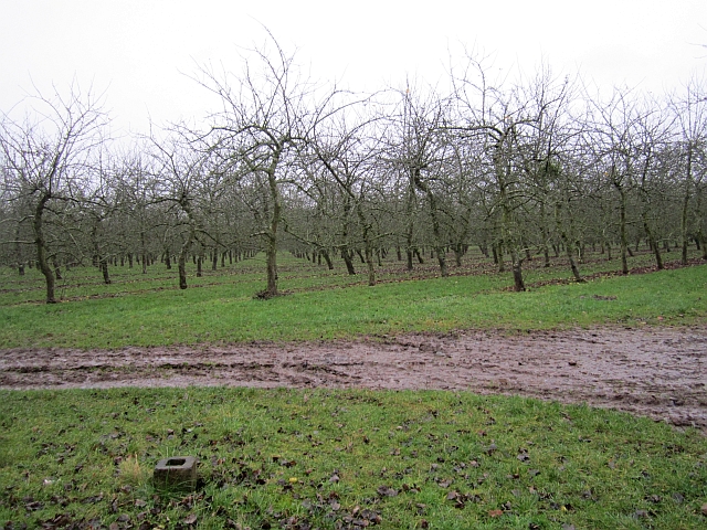
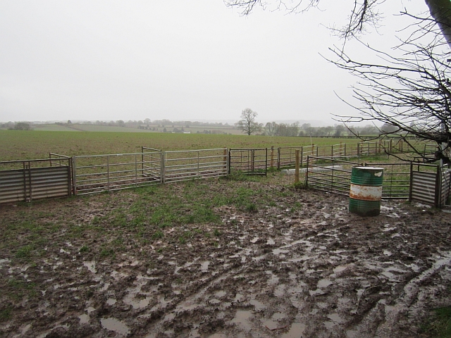
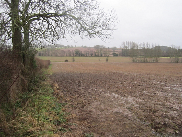
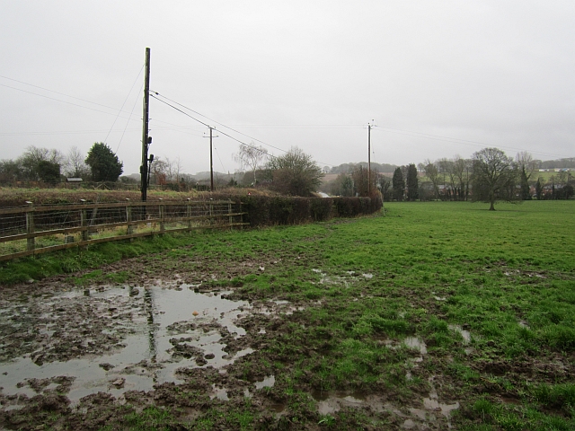
The village is surrounded by stunning natural beauty, with rolling hills, lush green fields, and the meandering River Wye nearby. The landscape offers numerous opportunities for outdoor activities such as hiking, cycling, and fishing, attracting nature enthusiasts from far and wide.

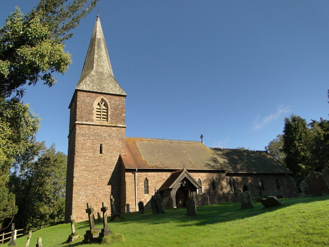
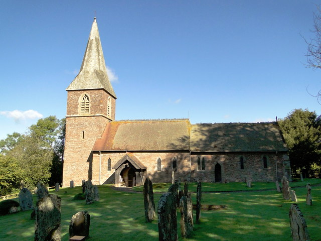
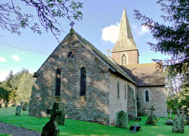
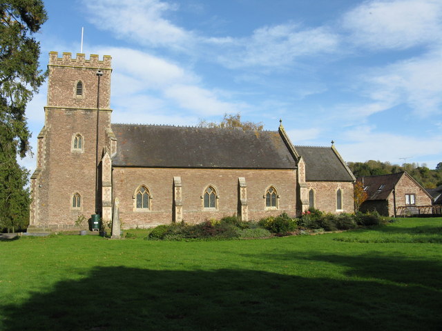
Stretford boasts a rich history, with evidence of human settlement dating back to Roman times. The village is home to several historic buildings, including a charming 12th-century church, St. Mary's, which stands proudly at its heart. This architectural gem features intricate stained glass windows and a beautifully preserved interior, providing a glimpse into the village's past.

A strong sense of community pervades Stretford, with various local events and activities bringing residents together. The village hosts an annual summer fete, where locals and visitors can enjoy traditional games, music, and delicious homemade treats. The community also takes pride in its well-kept public spaces, with a picturesque village green and a children's playground.

While Stretford may be small in size, it offers a warm and welcoming environment for residents and visitors alike. Its idyllic setting, rich history, and close-knit community make it a hidden gem within Herefordshire, providing a peaceful retreat from the hustle and bustle of modern life.

If you have any feedback on the listing, please let us know in the comments section below.
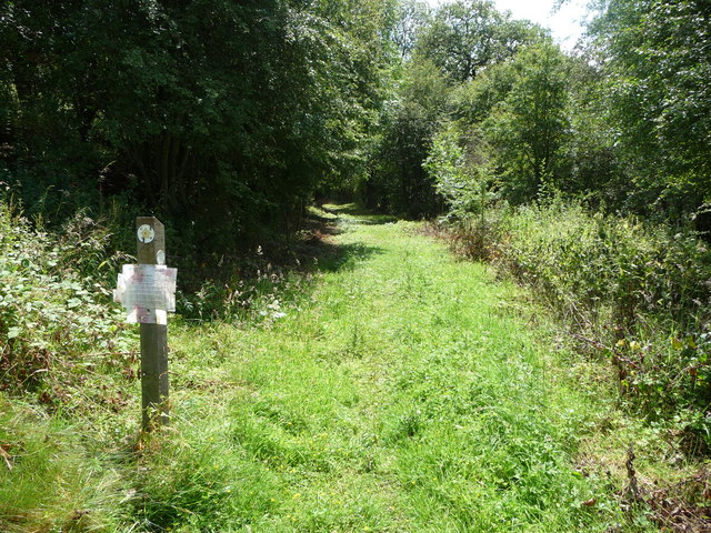
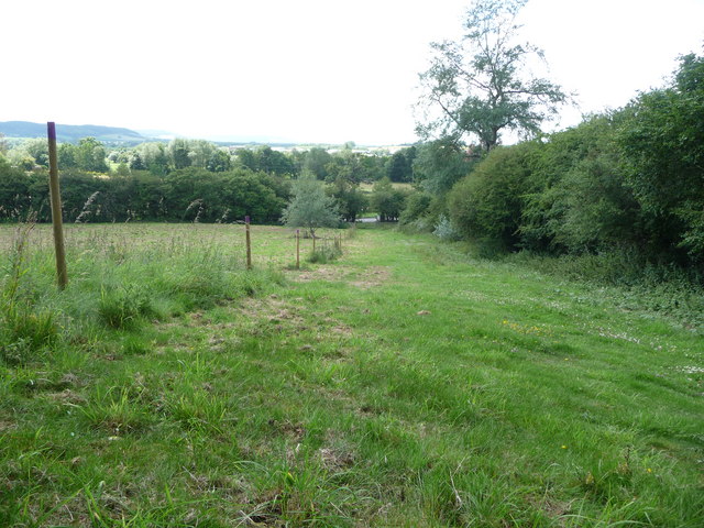
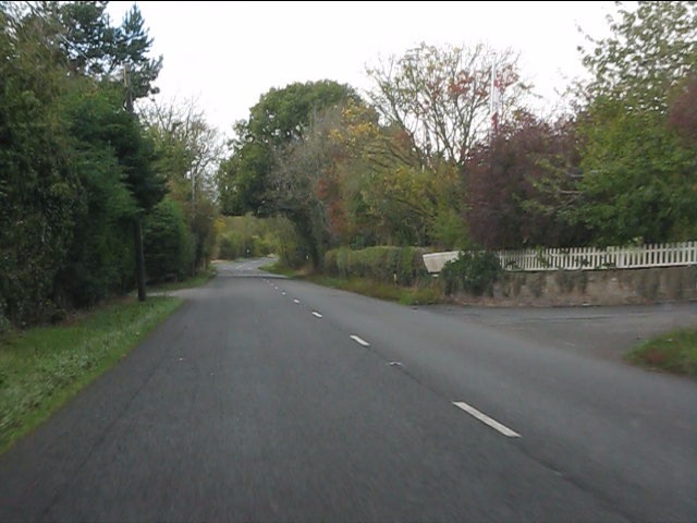
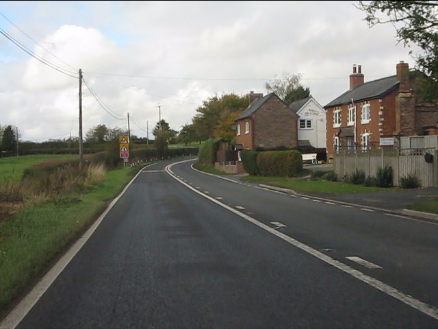
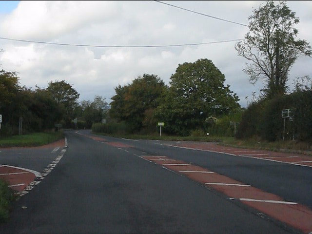
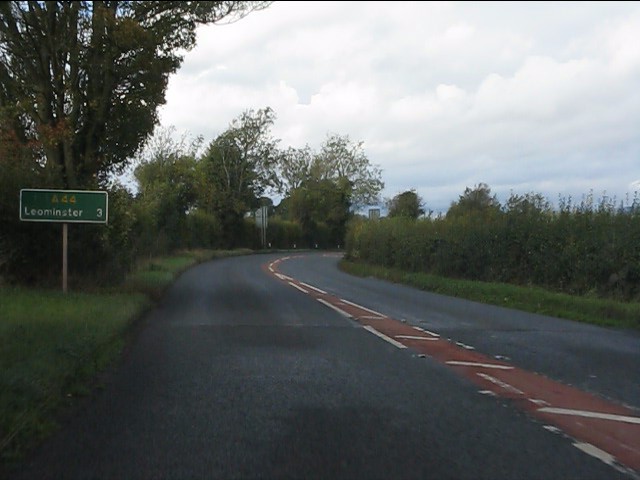
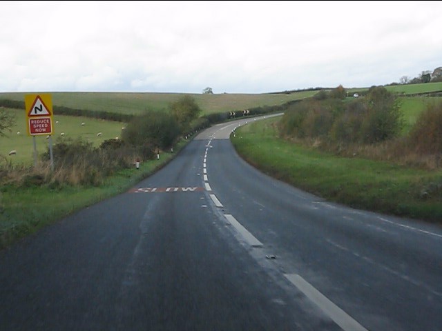
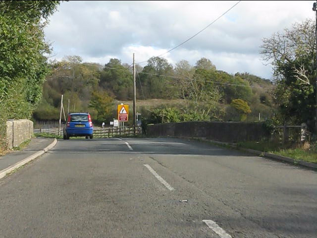
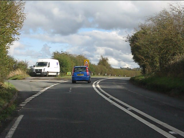
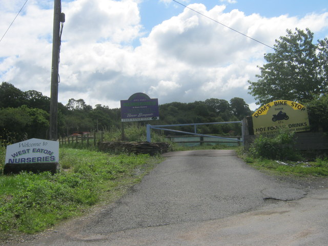
Stretford Images

Images are sourced within 2km of 52.218528/-2.6938196 or Grid Reference SO5258. Thanks to Geograph Open Source API. All images are credited.

Waymarker post on the footpath near Westeaton, Leominster The waymarker post also carries one of those planning notices or footpath diversion notices that no one ever reads....
Waymarker post on the footpath near Westeaton, Leominster
The waymarker post also carries one of those planning notices or footpath diversion notices that no one ever reads....
Footpath down the field adjacent to Westeaton, near Leominster The posts designate the footpath area.
Footpath down the field adjacent to Westeaton, near Leominster
The posts designate the footpath area.
A44 enters Steens Bridge westbound
Houses alongside the A44, Steens Bridge
Tight bend on the A44 The main road turns sharply left as it meets the lane from Hatfield.  A vista of the hills north of Leominster opens up at this high point of the Worcester-Leominster route.
Tight bend on the A44
The main road turns sharply left as it meets the lane from Hatfield. A vista of the hills north of Leominster opens up at this high point of the Worcester-Leominster route.
The Drum crossroads from the westbound A44
A44 route confirmatory sign west of The Drum crossroads
A44 approaching a tight right-hander
River Lugg bridge, A44
Resting place by the junction for Hamnish Often used by police Range Rovers!
Resting place by the junction for Hamnish
Often used by police Range Rovers!
Entrance to West Eaton Nurseries
St Mary, Humber In a remote setting at the end of a winding lane. Early 14th century tower - the rest of around 1200 and all restored sensitively by T.H. Wyatt in 1878.
St Mary, Humber
In a remote setting at the end of a winding lane. Early 14th century tower - the rest of around 1200 and all restored sensitively by T.H. Wyatt in 1878.
St Mary, Humber In a remote setting at the end of a winding lane. Early 14th century tower - the rest of around 1200 and all restored sensitively by T.H. Wyatt in 1878. The south side.
St Mary, Humber
In a remote setting at the end of a winding lane. Early 14th century tower - the rest of around 1200 and all restored sensitively by T.H. Wyatt in 1878. The south side.
St Mary, Humber In a remote setting at the end of a winding lane. Early 14th century tower - the rest of around 1200 and all restored sensitively by T.H. Wyatt in 1878. The east end.
St Mary, Humber
In a remote setting at the end of a winding lane. Early 14th century tower - the rest of around 1200 and all restored sensitively by T.H. Wyatt in 1878. The east end.
Orchard, Rowley
Orchard, Rowley
Sheep pens near Brock Hall A foul and dark day in what has turned out to be the wettest recorded year in England.
Sheep pens near Brock Hall
A foul and dark day in what has turned out to be the wettest recorded year in England.
Mud Yet more rain and the soil is gaining a liquid consistency. Herefordshire soils are often heavy.
Mud
Yet more rain and the soil is gaining a liquid consistency. Herefordshire soils are often heavy.
A wet field corner 2012, according to the records, the wettest year in England.  The hedge has been removed to aid visibility where a minor road joins the A44.
A wet field corner
2012, according to the records, the wettest year in England. The hedge has been removed to aid visibility where a minor road joins the A44.
Show me another place!

Stretford is located at Grid Ref: SO5258 (Lat: 52.218528, Lng: -2.6938196)

Unitary Authority: County of Herefordshire

Police Authority: West Mercia

What 3 Words

///earpiece.mining.shark. Near Humber, Herefordshire

Nearby Locations

Stretford

Related Wikis

Leominster (UK Parliament constituency)

Leominster was a parliamentary constituency represented until 1707 in the House of Commons of England, then until 1801 in that of Great Britain, and finally...

Stoke Prior, Herefordshire

Stoke Prior is a village and former civil parish, now in the parish of Ford and Stoke Prior in Herefordshire, England, and is 2 miles (3 km) south-east...

Blackwardine

Blackwardine is a village in Herefordshire, England (at grid reference SO529564), in the parish of Ford and Stoke Prior.It is the site of a Romano-British...

Stoke Prior Halt railway station

Stoke Prior Halt railway station was a station in Stoke Prior, Herefordshire, England. The station was opened on 8 July 1929 and closed in 1952 == References... ==

Eaton Hall, Herefordshire

Eaton Hall is a two-storey building in Leominster in Herefordshire, 1 mile to the south-east of the village church. It was historically sited in the parish...

Steens Bridge railway station

Steens Bridge railway station was a station to the east of Stoke Prior, Herefordshire, England. The station was opened in 1884 and closed in 1952. ��2...

River Arrow, Wales

The River Arrow (Welsh: Afon Arwy) is a river in the Welsh Marches, rising in Powys in Wales, then flowing into the English county of Herefordshire. It...

Humber, Herefordshire

Humber is a hamlet and civil parish in the county of Herefordshire, England, and is 10 miles (16 km) north from the city and county town of Hereford. The...

Nearby Amenities

Located within 500m of 52.218528,-2.6938196
Bus Stop
Stretford
Bus: yes
Naptan AtcoCode: 2090A18871
Naptan Bearing: NW
Naptan BusStopType: CUS
Naptan CommonName: Stretford
Naptan Indicator: Northbound
Naptan Landmark: N/K
Naptan NaptanCode: herajgjm
Naptan Street: N/K
Naptan Verified: no
Public Transport: platform
Source: naptan_import
Lat/Long: 52.2182913/-2.6936902
Bus Stop
Stretford
Bus: yes
Naptan AtcoCode: 2090A18873
Naptan Bearing: SE
Naptan BusStopType: CUS
Naptan CommonName: Stretford
Naptan Indicator: Southbound
Naptan Landmark: N/K
Naptan NaptanCode: herajgjp
Naptan Street: N/K
Naptan Verified: no
Public Transport: platform
Source: naptan_import
Lat/Long: 52.2183281/-2.693559
Stretford
Place: hamlet
Lat/Long: 52.2183193/-2.6940228
The data included in this document is from www.openstreetmap.org. The data is made available under ODbL.

Have you been to Stretford?

Leave your review of Stretford below (or comments, questions and feedback).