Strete Raleigh

Settlement in Devon East Devon

England

Strete Raleigh

St Mary's Church in Whimple A view of the front of St Mary's Church in Whimple, Devon.
St Mary's Church in Whimple Credit: John P Reeves

Strete Raleigh is a small village located in the county of Devon, England. Situated in the South Hams district, it is nestled amidst the picturesque countryside and is surrounded by rolling hills and lush green fields. The village is approximately 4 miles southwest of the market town of Totnes and about 18 miles from the city of Plymouth.

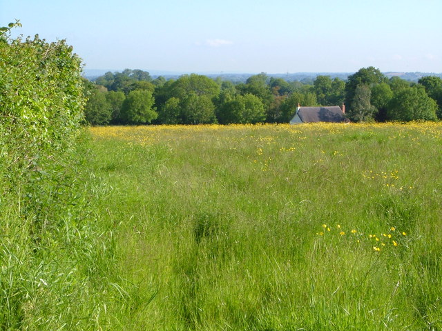
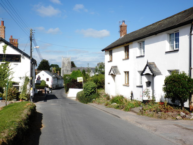
Strete Raleigh is known for its tranquil and idyllic setting, making it an attractive destination for those seeking a peaceful retreat away from the hustle and bustle of city life. The village is characterized by its charming thatched cottages and traditional stone houses, which add to its quaint and timeless appeal.

The community in Strete Raleigh is relatively small, with a population of around 400 residents. It is a close-knit and friendly village, where locals often engage in various community activities and events. The village has a primary school, providing education for the young children in the area.

Surrounded by natural beauty, Strete Raleigh offers ample opportunities for outdoor activities and exploration. The nearby Dartmoor National Park and South Devon Area of Outstanding Natural Beauty are popular destinations for hiking, cycling, and wildlife spotting. The village is also within close proximity to the stunning coastline of the English Riviera, with its sandy beaches and charming seaside towns.

Although Strete Raleigh may be small in size, it exudes a certain charm and tranquility that attracts both visitors and residents alike, making it a delightful place to visit or call home.

If you have any feedback on the listing, please let us know in the comments section below.

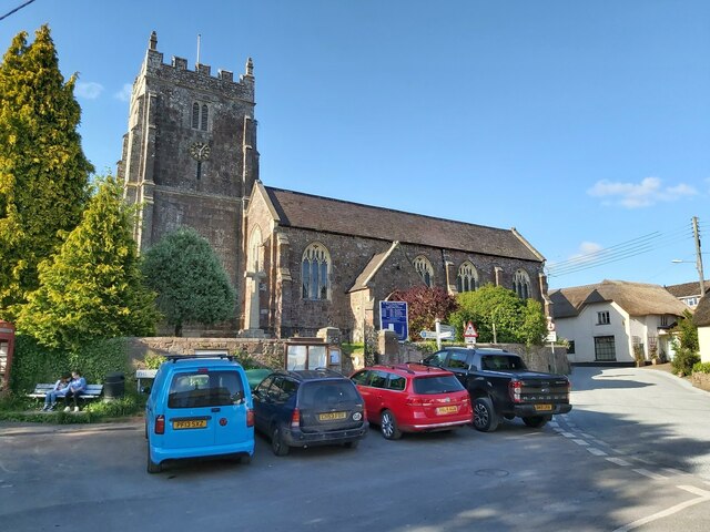
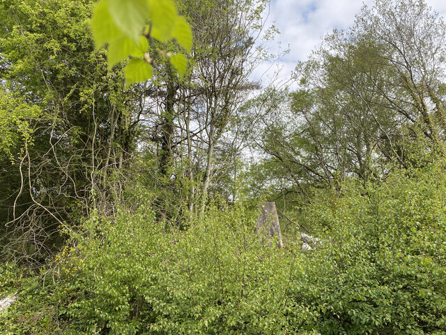
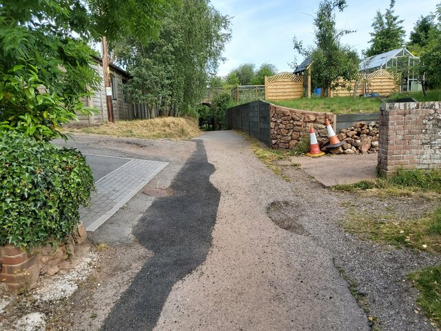
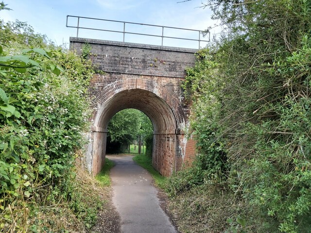
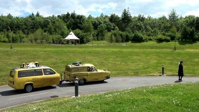
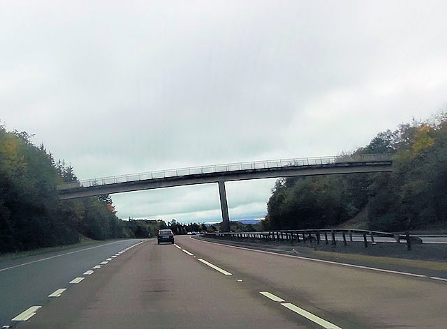
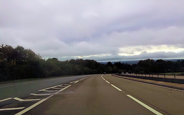
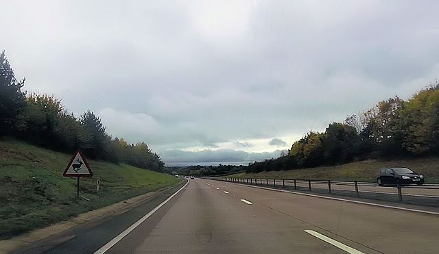
Strete Raleigh Images

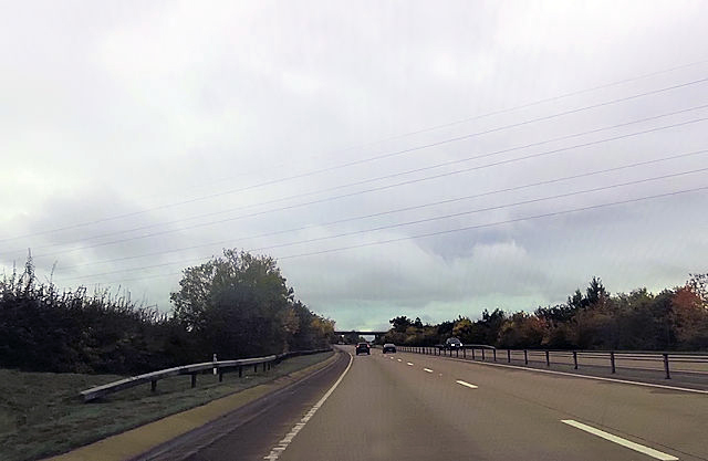
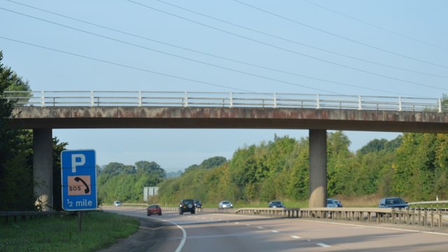
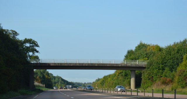
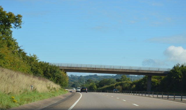
Images are sourced within 2km of 50.750731/-3.353021 or Grid Reference SY0495. Thanks to Geograph Open Source API. All images are credited.

St Mary's Church in Whimple A view of the front of St Mary's Church in Whimple, Devon.
St Mary's Church in Whimple
A view of the front of St Mary's Church in Whimple, Devon.
Rockbeare Hill New Trig Point Flush Bracket S5507
Footpath between Houses A public footpath between residential houses in Whimple in Devon. The access drive to Forge Cottage is on the left.
Footpath between Houses
A public footpath between residential houses in Whimple in Devon. The access drive to Forge Cottage is on the left.
Railway Bridge over a Footpath A view of the railway bridge over a public footpath in Whimple in Devon. The railway is the main line running between Exeter and Salisbury.
Railway Bridge over a Footpath
A view of the railway bridge over a public footpath in Whimple in Devon. The railway is the main line running between Exeter and Salisbury.
Whimple :  East Devon Crematorium Looking across the car park of East Devon Crematorium.
Whimple : East Devon Crematorium
Looking across the car park of East Devon Crematorium.
Whimple :  East Devon Crematorium A wildlife and memorial garden in the crematorium grounds.
Whimple : East Devon Crematorium
A wildlife and memorial garden in the crematorium grounds.
Whimple :  East Devon Crematorium A road heading through the crematorium.
Whimple : East Devon Crematorium
A road heading through the crematorium.
Whimple :  East Devon Crematorium Only Fools and Hearses and a Reliant Robin to bring in the coffin based on the popular BBC comedy Only Fools and Horses.
Whimple : East Devon Crematorium
Only Fools and Hearses and a Reliant Robin to bring in the coffin based on the popular BBC comedy Only Fools and Horses.
Pedestrian bridge at Daisymount junction
Slip road joining at Daisymount junction
A30 west near Solar Farm
A30 passing under power lines Gribble Lane bridge in distance
A30 passing under power lines
Gribble Lane bridge in distance
Footbridge over the A30 The A30 is 284 miles long, from central London to Land's End, historically known as the Great South West Road. The M3 and A303 now are the preferred route for most travellers. Only part of the road is still a trunk road.
Wikipedia: <span class="nowrap"><a title="http://en.wikipedia.org/wiki/A30_road" rel="nofollow ugc noopener" href="http://en.wikipedia.org/wiki/A30_road">Link</a><img style="margin-left:2px;" alt="External link" title="External link - shift click to open in new window" src="https://s1.geograph.org.uk/img/external.png" width="10" height="10"/></span>
Footbridge over the A30
The A30 is 284 miles long, from central London to Land's End, historically known as the Great South West Road. The M3 and A303 now are the preferred route for most travellers. Only part of the road is still a trunk road. Wikipedia: LinkExternal link
Sign, A30
Sign, A30
Rewe Lane Bridge, A30 The A30 is 284 miles long, from central London to Land's End, historically known as the Great South West Road. The M3 and A303 now are the preferred route for most travellers. Only part of the road is still a trunk road.
Wikipedia: <span class="nowrap"><a title="http://en.wikipedia.org/wiki/A30_road" rel="nofollow ugc noopener" href="http://en.wikipedia.org/wiki/A30_road">Link</a><img style="margin-left:2px;" alt="External link" title="External link - shift click to open in new window" src="https://s1.geograph.org.uk/img/external.png" width="10" height="10"/></span>
Rewe Lane Bridge, A30
The A30 is 284 miles long, from central London to Land's End, historically known as the Great South West Road. The M3 and A303 now are the preferred route for most travellers. Only part of the road is still a trunk road. Wikipedia: LinkExternal link
Gribble Lane Bridge, A30 The A30 is 284 miles long, from central London to Land's End, historically known as the Great South West Road. The M3 and A303 now are the preferred route for most travellers. Only part of the road is still a trunk road.
Wikipedia: <span class="nowrap"><a title="http://en.wikipedia.org/wiki/A30_road" rel="nofollow ugc noopener" href="http://en.wikipedia.org/wiki/A30_road">Link</a><img style="margin-left:2px;" alt="External link" title="External link - shift click to open in new window" src="https://s1.geograph.org.uk/img/external.png" width="10" height="10"/></span>
Gribble Lane Bridge, A30
The A30 is 284 miles long, from central London to Land's End, historically known as the Great South West Road. The M3 and A303 now are the preferred route for most travellers. Only part of the road is still a trunk road. Wikipedia: LinkExternal link
Show me another place!

Strete Raleigh is located at Grid Ref: SY0495 (Lat: 50.750731, Lng: -3.353021)

Administrative County: Devon

District: East Devon

Police Authority: Devon and Cornwall

What 3 Words

///truffles.trader.crackles. Near Whimple, Devon

Related Wikis

Aller Grove

Aller Grove is a village in Devon, England. == References ==

Marsh Green, Devon

Marsh Green is a small village about 8 miles east of Exeter and 4 miles west of Ottery St Mary in East Devon, England, at OS grid reference SY042936....

Whimple

Whimple is a village and civil parish in East Devon in the English county of Devon, approximately 9 miles (14 km) due east of the city of Exeter, and 3...

Whimple railway station

Whimple railway station serves the village of Whimple in east Devon, England. It is operated by South Western Railway which provides services on the West...

Nearby Amenities

Located within 500m of 50.750731,-3.353021
Post Box
Post Box Type: lamp
Lat/Long: 50.7547354/-3.3554128
Bus Stop
Bus: yes
Public Transport: platform
Lat/Long: 50.7547774/-3.35517
Bus Stop
Bus: yes
Public Transport: platform
Lat/Long: 50.7551528/-3.3541146
Design: barrel
Power: tower
Lat/Long: 50.7495529/-3.3573992
Design: barrel
Power: tower
Lat/Long: 50.7486117/-3.3493326
Design: barrel
Power: tower
Lat/Long: 50.7490935/-3.3535478
Strete Ralegh
Place: locality
Lat/Long: 50.7511614/-3.3500587
Bus Stop
Bus: yes
Public Transport: platform
Lat/Long: 50.7551212/-3.3537251
Give Way
Direction: backward
Lat/Long: 50.7549997/-3.3544177
Give Way
Direction: forward
Lat/Long: 50.7549022/-3.3544456
Direction: forward
Maxspeed: 40 mph
Maxspeed Type: GB:nsl_restricted
Source Maxspeed: sign
Traffic Sign: maxspeed
Lat/Long: 50.7548766/-3.3544363
Give Way
Direction: backward
Lat/Long: 50.7500445/-3.35462
Street Lamp
Lamp Mount: bent_mast
Lamp Type: electric
Lat/Long: 50.7550081/-3.3535673
Street Lamp
Lamp Mount: bent_mast
Lamp Type: electric
Lat/Long: 50.754869/-3.3545087
Street Lamp
Lamp Mount: bent_mast
Lamp Type: electric
Lat/Long: 50.7546484/-3.355937
Street Lamp
Lamp Mount: bent_mast
Lamp Type: electric
Lat/Long: 50.7545601/-3.3564721
Brand: National Grid
Brand Wikidata: Q1465461
Material: wood
Operator: National Grid Electricity Distribution Plc
Operator Old: Western Power Distribution
Operator Wikidata: Q7988183
Owner: National Grid Electricity Distribution (South West) Plc
Owner Wikidata: Q114397866
Power: pole
Lat/Long: 50.7537074/-3.3559182
Brand: National Grid
Brand Wikidata: Q1465461
Design: h-frame
Material: wood
Operator: National Grid Electricity Distribution Plc
Operator Old: Western Power Distribution
Operator Wikidata: Q7988183
Owner: National Grid Electricity Distribution (South West) Plc
Owner Wikidata: Q114397866
Power: pole
Lat/Long: 50.7527741/-3.3561221
Brand: National Grid
Brand Wikidata: Q1465461
Material: wood
Operator: National Grid Electricity Distribution Plc
Operator Old: Western Power Distribution
Operator Wikidata: Q7988183
Owner: National Grid Electricity Distribution (South West) Plc
Owner Wikidata: Q114397866
Power: pole
Lat/Long: 50.752114/-3.3559155
Brand: National Grid
Brand Wikidata: Q1465461
Material: wood
Operator: National Grid Electricity Distribution Plc
Operator Old: Western Power Distribution
Operator Wikidata: Q7988183
Owner: National Grid Electricity Distribution (South West) Plc
Owner Wikidata: Q114397866
Power: pole
Lat/Long: 50.7514726/-3.3557197
Brand: National Grid
Brand Wikidata: Q1465461
Material: wood
Operator: National Grid Electricity Distribution Plc
Operator Old: Western Power Distribution
Operator Wikidata: Q7988183
Owner: National Grid Electricity Distribution (South West) Plc
Owner Wikidata: Q114397866
Power: pole
Lat/Long: 50.7508311/-3.3554944
Brand: National Grid
Brand Wikidata: Q1465461
Material: wood
Operator: National Grid Electricity Distribution Plc
Operator Old: Western Power Distribution
Operator Wikidata: Q7988183
Owner: National Grid Electricity Distribution (South West) Plc
Owner Wikidata: Q114397866
Power: pole
Lat/Long: 50.7501591/-3.3552745
Brand: National Grid
Brand Wikidata: Q1465461
Material: wood
Operator: National Grid Electricity Distribution Plc
Operator Old: Western Power Distribution
Operator Wikidata: Q7988183
Owner: National Grid Electricity Distribution (South West) Plc
Owner Wikidata: Q114397866
Power: pole
Lat/Long: 50.7463372/-3.3540192
Brand: National Grid
Brand Wikidata: Q1465461
Material: wood
Operator: National Grid Electricity Distribution Plc
Operator Old: Western Power Distribution
Operator Wikidata: Q7988183
Owner: National Grid Electricity Distribution (South West) Plc
Owner Wikidata: Q114397866
Power: pole
Lat/Long: 50.7469583/-3.3542204
Brand: National Grid
Brand Wikidata: Q1465461
Material: wood
Operator: National Grid Electricity Distribution Plc
Operator Old: Western Power Distribution
Operator Wikidata: Q7988183
Owner: National Grid Electricity Distribution (South West) Plc
Owner Wikidata: Q114397866
Power: pole
Lat/Long: 50.7475897/-3.3544296
Brand: National Grid
Brand Wikidata: Q1465461
Material: wood
Operator: National Grid Electricity Distribution Plc
Operator Old: Western Power Distribution
Operator Wikidata: Q7988183
Owner: National Grid Electricity Distribution (South West) Plc
Owner Wikidata: Q114397866
Power: pole
Lat/Long: 50.7482414/-3.3546442
Brand: National Grid
Brand Wikidata: Q1465461
Material: wood
Operator: National Grid Electricity Distribution Plc
Operator Old: Western Power Distribution
Operator Wikidata: Q7988183
Owner: National Grid Electricity Distribution (South West) Plc
Owner Wikidata: Q114397866
Power: pole
Lat/Long: 50.7488574/-3.3548453
Brand: National Grid
Brand Wikidata: Q1465461
Material: wood
Operator: National Grid Electricity Distribution Plc
Operator Old: Western Power Distribution
Operator Wikidata: Q7988183
Owner: National Grid Electricity Distribution (South West) Plc
Owner Wikidata: Q114397866
Power: pole
Lat/Long: 50.7495176/-3.355068
Brand: National Grid
Brand Wikidata: Q1465461
Line Management: branch
Material: wood
Operator: National Grid Electricity Distribution Plc
Operator Old: Western Power Distribution
Operator Wikidata: Q7988183
Owner: National Grid Electricity Distribution (South West) Plc
Owner Wikidata: Q114397866
Power: pole
Lat/Long: 50.749134/-3.3549446
Brand: National Grid
Brand Wikidata: Q1465461
Material: wood
Operator: National Grid Electricity Distribution Plc
Operator Old: Western Power Distribution
Operator Wikidata: Q7988183
Owner: National Grid Electricity Distribution (South West) Plc
Owner Wikidata: Q114397866
Power: pole
Lat/Long: 50.7492579/-3.3565512
Brand: National Grid
Brand Wikidata: Q1465461
Material: wood
Operator: National Grid Electricity Distribution Plc
Operator Old: Western Power Distribution
Operator Wikidata: Q7988183
Owner: National Grid Electricity Distribution (South West) Plc
Owner Wikidata: Q114397866
Power: pole
Lat/Long: 50.7493682/-3.358005
Brand: National Grid
Brand Wikidata: Q1465461
Material: wood
Operator: National Grid Electricity Distribution Plc
Operator Old: Western Power Distribution
Operator Wikidata: Q7988183
Owner: National Grid Electricity Distribution (South West) Plc
Owner Wikidata: Q114397866
Power: pole
Lat/Long: 50.7494293/-3.3589518
Generator Method: photovoltaic
Generator Output Electricity: yes
Generator Source: solar
Generator Type: solar_photovoltaic_panel
Location: roof
Power: generator
Source: Bing
Lat/Long: 50.7542623/-3.3550197
The data included in this document is from www.openstreetmap.org. The data is made available under ODbL.

Have you been to Strete Raleigh?

Leave your review of Strete Raleigh below (or comments, questions and feedback).