Stony Cross

Settlement in Herefordshire

England

Stony Cross

Large tree, small lane Roadside tree on the lane to Little Hereford and the main road.
Large tree, small lane Credit: Christine Johnstone

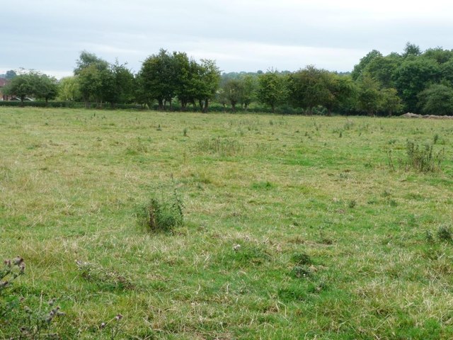
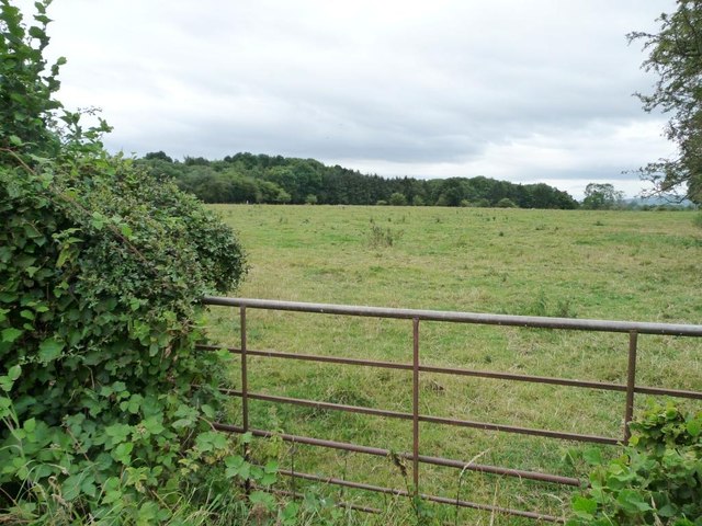
Stony Cross is a small village located in the county of Herefordshire, England. Situated near the River Wye, it is surrounded by picturesque rolling hills and lush green countryside. The village has a population of approximately 500 residents, giving it a charming and close-knit community atmosphere.

Stony Cross boasts a rich history, with evidence of human settlement dating back to Roman times. The village is known for its well-preserved medieval architecture, including the iconic stone cross that stands at the heart of the village square, from which it derives its name. This cross is believed to have served as an important landmark for travelers in centuries past.

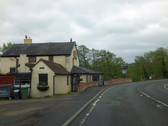
Despite its small size, Stony Cross offers a range of amenities to its residents. The village has a primary school, a village hall, and a local pub, the Stony Arms, which serves as a social hub for the community. The surrounding countryside provides ample opportunities for outdoor activities such as hiking, cycling, and horseback riding.

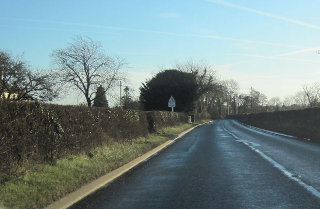
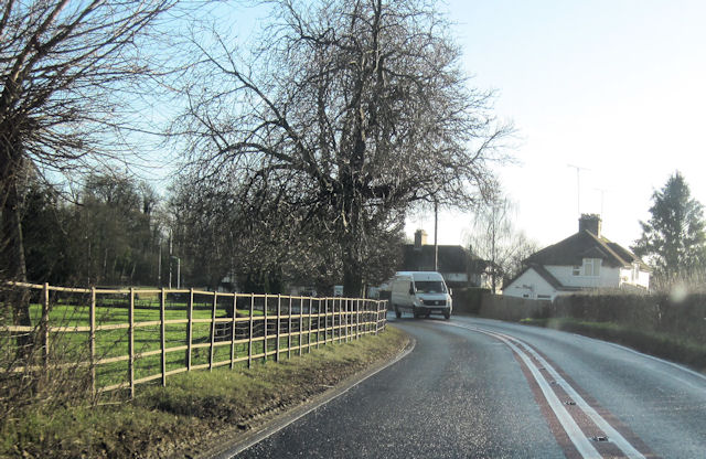
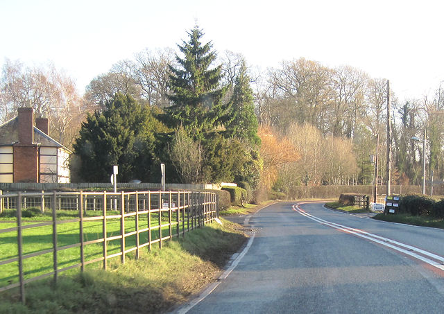
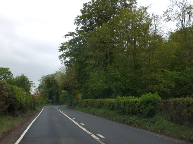
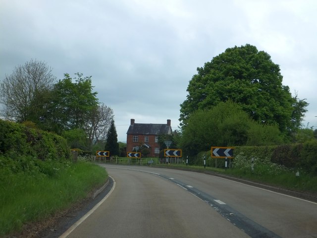
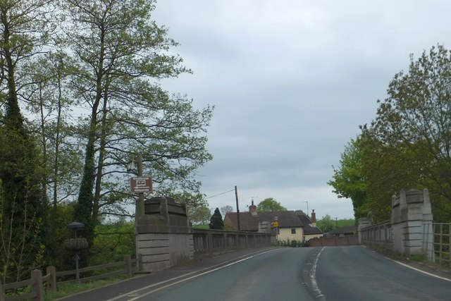
Stony Cross is also conveniently located near larger towns and cities. The city of Hereford is just a short drive away, offering a wider range of shopping, dining, and entertainment options. The village is well-connected by road, with easy access to major routes such as the A49.

Overall, Stony Cross is a tranquil and picturesque village, offering its residents a peaceful rural lifestyle with a strong sense of community and a connection to the area's rich historical heritage.

If you have any feedback on the listing, please let us know in the comments section below.
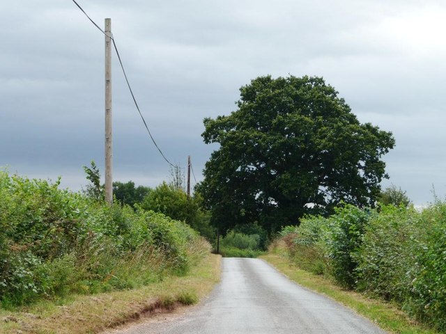
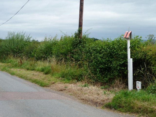
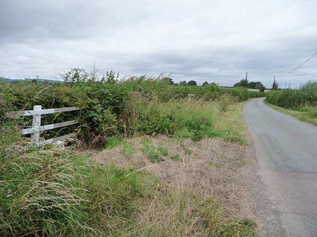
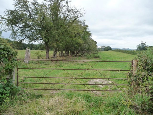
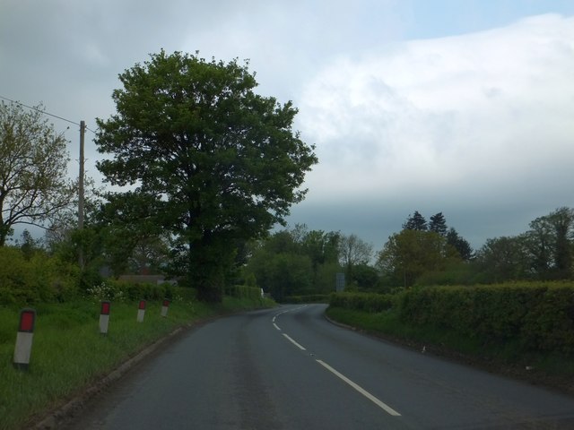
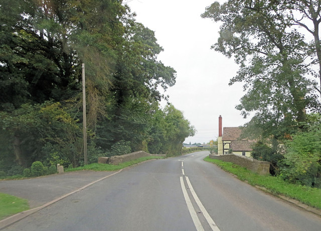
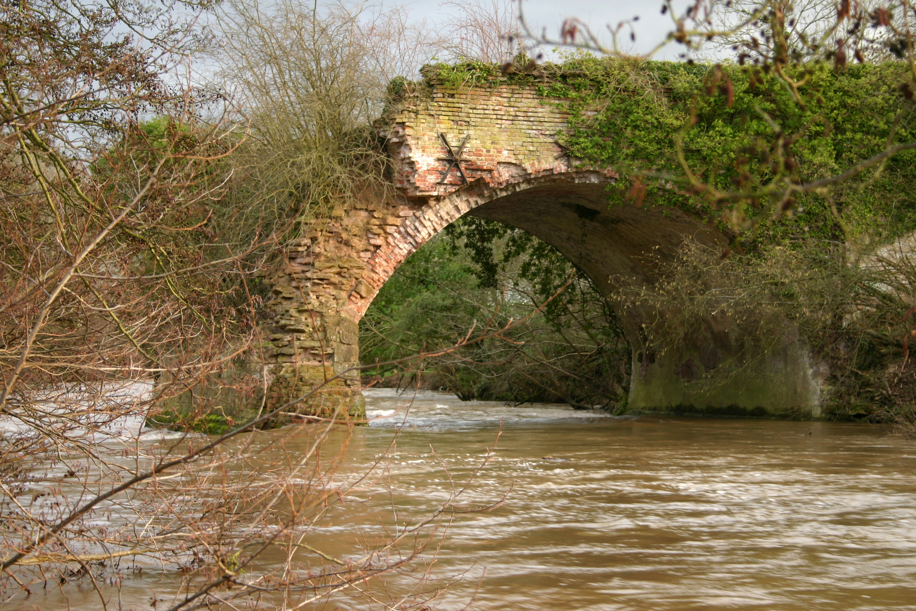
Stony Cross Images

Images are sourced within 2km of 52.299041/-2.6668196 or Grid Reference SO5466. Thanks to Geograph Open Source API. All images are credited.

Large tree, small lane Roadside tree on the lane to Little Hereford and the main road.
Large tree, small lane
Roadside tree on the lane to Little Hereford and the main road.
Gas pipeline marker On the east side of the lane coming south from Middleton. Helicopters follow these markers to find dying vegetation, which would indicate a leak.
Gas pipeline marker
On the east side of the lane coming south from Middleton. Helicopters follow these markers to find dying vegetation, which would indicate a leak.
The lane to Middleton The white painted fence highlights a small part of the gas pipeline infrastructure.
The lane to Middleton
The white painted fence highlights a small part of the gas pipeline infrastructure.
Gated entrance to long narrow field West of the lane running south from Middleton.
Gated entrance to long narrow field
West of the lane running south from Middleton.
Rough pasture near Little Hereford West of the lane from Middleton.
Rough pasture near Little Hereford
West of the lane from Middleton.
Half-blocked gate into pasture field The hedge is gradually covering the ends of the gate.
Half-blocked gate into pasture field
The hedge is gradually covering the ends of the gate.
Approaching double bend at Gosford Farm A456 eastbound
Approaching double bend at Gosford Farm
A456 eastbound
A456 approaching Little Hereford Eastbound
A456 approaching Little Hereford
Eastbound
Little Hereford bend in A456 Heading east just west of Church Walk
Little Hereford bend in A456
Heading east just west of Church Walk
A456 east from outside church hall At Little Hereford
A456 east from outside church hall
At Little Hereford
A456 approaching Little Hereford from the east
A456 into Little Hereford Looking west. Corner House just visible
A456 into Little Hereford
Looking west. Corner House just visible
Woodland coverts on the south of the Easton Court estate The A456 on the east of Little Hereford skirts the southern side of this estate.  There is a narrow covert beside the road.
Woodland coverts on the south of the Easton Court estate
The A456 on the east of Little Hereford skirts the southern side of this estate. There is a narrow covert beside the road.
The Corner House near Little Hereford Bridge
The Temeside Inn, Little Hereford An inn by Little Hereford Bridge over the River Teme
The Temeside Inn, Little Hereford
An inn by Little Hereford Bridge over the River Teme
Little Hereford Bridge
Solitary roadside tree in Gosford The edge of the road is marked with reflectors because the verge tapers along this stretch.  The grassy verge provides a view along the main road for traffic at a road junction (behind the photographer)
Solitary roadside tree in Gosford
The edge of the road is marked with reflectors because the verge tapers along this stretch. The grassy verge provides a view along the main road for traffic at a road junction (behind the photographer)
A456 crosses Gosford Bridge The early 19th C. Grade II listed bridge carries the road across the Gosford Brook. English Heritage Building ID: 484227 applies.
A456 crosses Gosford Bridge
The early 19th C. Grade II listed bridge carries the road across the Gosford Brook. English Heritage Building ID: 484227 applies.
Show me another place!

Stony Cross is located at Grid Ref: SO5466 (Lat: 52.299041, Lng: -2.6668196)

Unitary Authority: County of Herefordshire

Police Authority: West Mercia

What 3 Words

///irrigated.reeling.absent. Near Tenbury Wells, Worcestershire

Related Wikis

Easton Court railway station

Easton Court railway station was a station in Little Hereford, Herefordshire, England. The station opened on 1 August 1861 as the only intermediate stop...
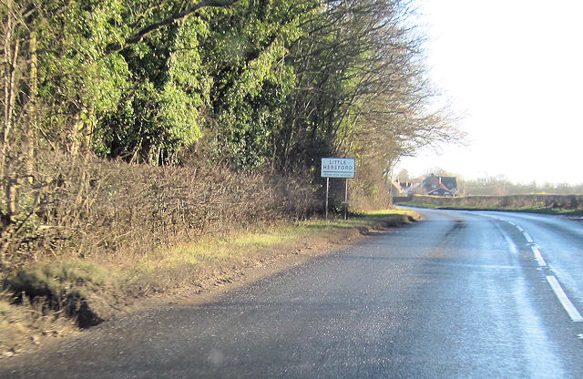
Little Hereford

Little Hereford is a small village and civil parish in Herefordshire, England. The civil parish includes the hamlet of Middleton. The population of the...

Leominster Canal

The Leominster Canal was an English canal which ran for just over 18 miles from Mamble to Leominster through 16 locks and a number of tunnels, some of...

Brimfield, Herefordshire

Brimfield is a village and civil parish in north Herefordshire, England. The village lies on the A49 road at the border with Shropshire. To the south,...

Berrington, Worcestershire

Berrington is a village in Worcestershire, England. Berrington was in the upper division of Doddingtree hundred. == References ==

Middleton on the Hill

Middleton on the Hill is a village in north east Herefordshire, England, near the border with Worcestershire. Middleton-on-the-Hill lies a few miles to...

Wyson

Wyson is a hamlet in north Herefordshire, England, situated west of the A49 road and the adjacent village of Brimfield.It lies in the civil parish of Brimfield...

Woofferton

Woofferton is a village to the south of Ludlow, in Shropshire, England. It is one of Shropshire's most southerly villages and lies on the border with Herefordshire...

Nearby Amenities

Located within 500m of 52.299041,-2.6668196
Barrier: stile
Lat/Long: 52.3004868/-2.6737143
Generator Method: photovoltaic
Generator Output Electricity: yes
Generator Source: solar
Generator Type: solar_photovoltaic_panel
Location: roof
Power: generator
Lat/Long: 52.3003225/-2.6684627
Generator Method: photovoltaic
Generator Output Electricity: yes
Generator Source: solar
Generator Type: solar_photovoltaic_panel
Location: roof
Power: generator
Lat/Long: 52.2985067/-2.667194
Generator Method: photovoltaic
Generator Output Electricity: yes
Generator Source: solar
Generator Type: solar_photovoltaic_panel
Location: roof
Power: generator
Lat/Long: 52.2969911/-2.665059
Barrier: stile
Lat/Long: 52.2967507/-2.6617367
Barrier: stile
Lat/Long: 52.2967087/-2.6617756
The data included in this document is from www.openstreetmap.org. The data is made available under ODbL.

Have you been to Stony Cross?

Leave your review of Stony Cross below (or comments, questions and feedback).