Haynall Wood

Wood, Forest in Herefordshire

England

Haynall Wood

Large tree, small lane Roadside tree on the lane to Little Hereford and the main road.
Large tree, small lane Credit: Christine Johnstone

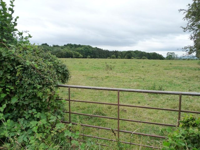
Haynall Wood is a picturesque woodland located in the county of Herefordshire, England. Covering an area of approximately 200 acres, it is known for its dense and diverse collection of trees, making it a haven for nature enthusiasts and wildlife alike.

The wood boasts a variety of tree species, including oak, ash, beech, and birch, creating a rich tapestry of colors throughout the year. The dense canopy provides ample shade, creating a cool and tranquil environment even during the summer months. Walking through the wood, visitors can enjoy the peacefulness and serenity that this ancient woodland offers.

Haynall Wood is home to a wide range of wildlife. Birdwatchers can spot a variety of species, including woodpeckers, owls, and various songbirds. Mammals such as badgers, foxes, and deer also call this woodland home, adding to its natural charm.

The wood has several walking trails that allow visitors to explore its beauty at their own pace. These well-maintained paths wind through the trees, offering glimpses of wildflowers and fungi along the way. The wood is also a popular spot for picnics and family outings, with designated areas providing benches and tables.

Haynall Wood is cherished by the local community, who work hard to maintain and preserve its natural beauty. It is a place where people can escape the hustle and bustle of everyday life and connect with nature. Whether it is for a leisurely walk, birdwatching, or simply enjoying the peaceful surroundings, Haynall Wood is a true gem in Herefordshire's natural landscape.

If you have any feedback on the listing, please let us know in the comments section below.
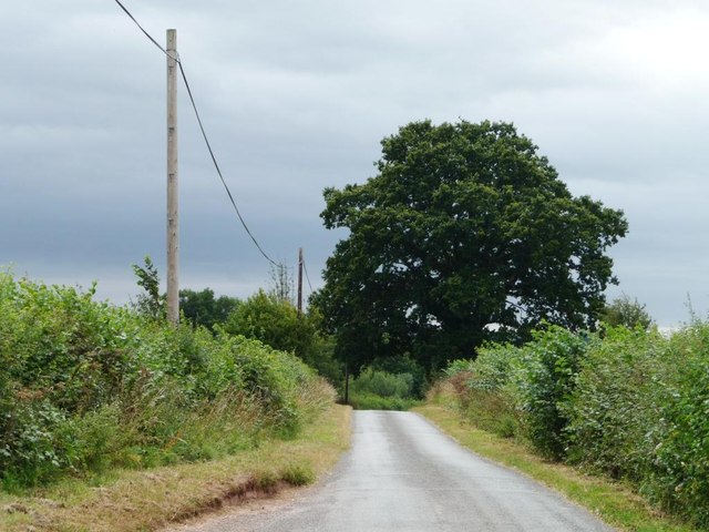
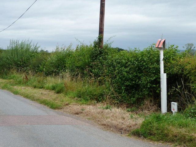
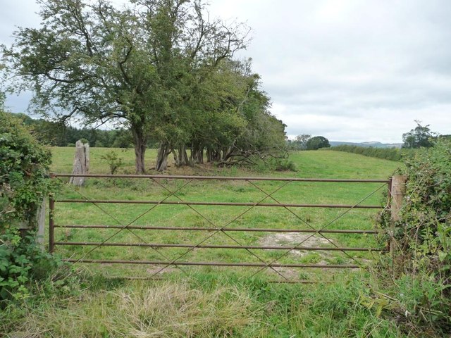
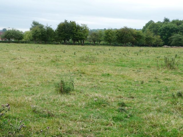
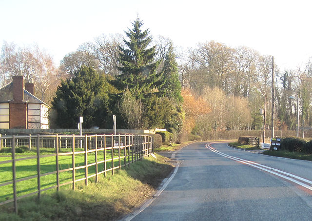
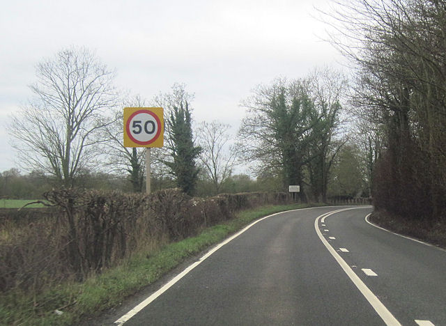
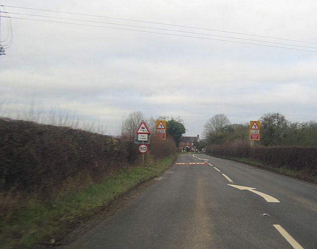
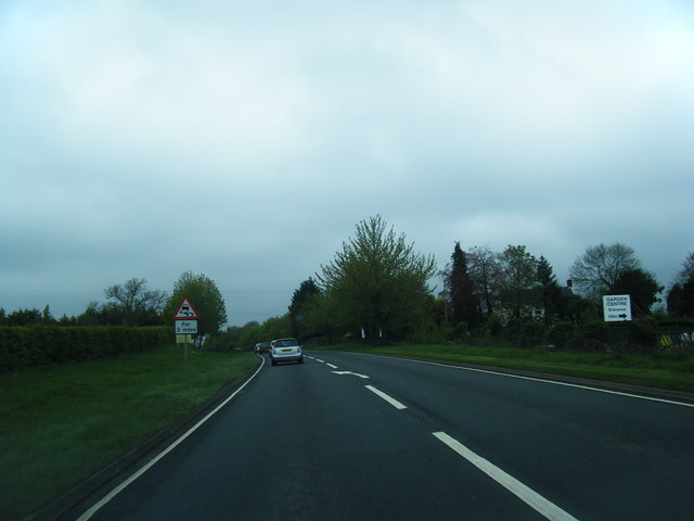
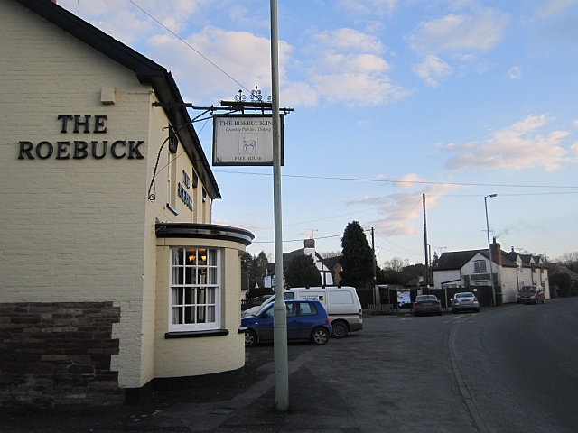
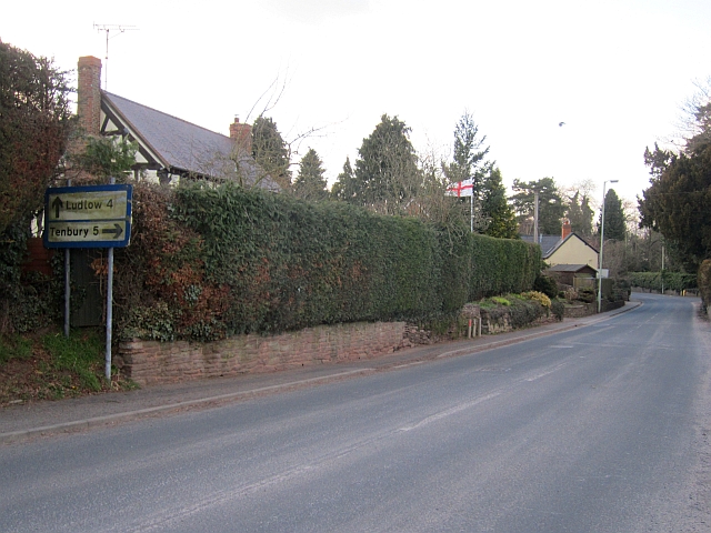
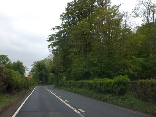
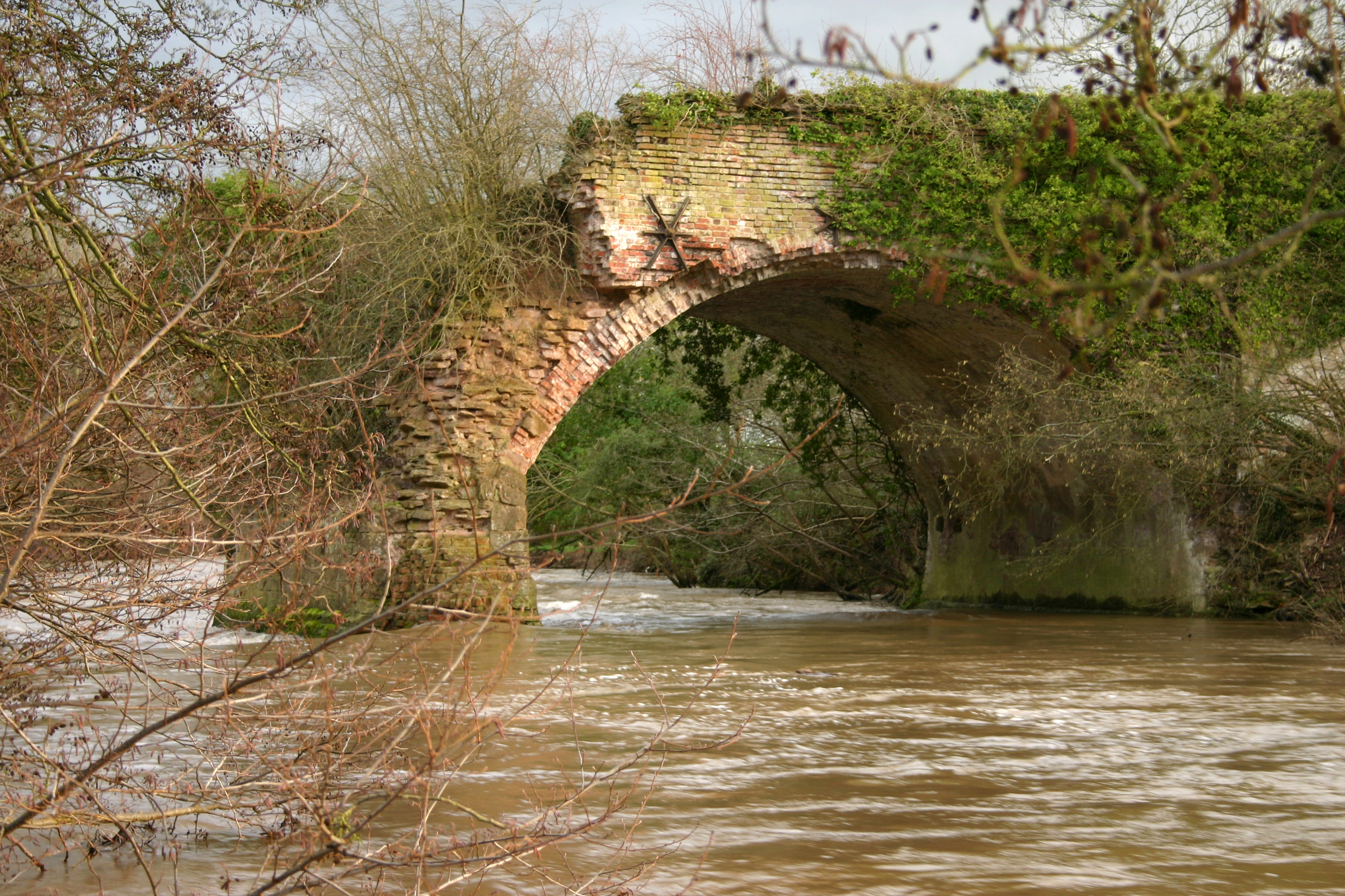
Haynall Wood Images

Images are sourced within 2km of 52.298426/-2.6721627 or Grid Reference SO5466. Thanks to Geograph Open Source API. All images are credited.

Large tree, small lane Roadside tree on the lane to Little Hereford and the main road.
Large tree, small lane
Roadside tree on the lane to Little Hereford and the main road.
Gas pipeline marker On the east side of the lane coming south from Middleton. Helicopters follow these markers to find dying vegetation, which would indicate a leak.
Gas pipeline marker
On the east side of the lane coming south from Middleton. Helicopters follow these markers to find dying vegetation, which would indicate a leak.
Gated entrance to long narrow field West of the lane running south from Middleton.
Gated entrance to long narrow field
West of the lane running south from Middleton.
Rough pasture near Little Hereford West of the lane from Middleton.
Rough pasture near Little Hereford
West of the lane from Middleton.
Half-blocked gate into pasture field The hedge is gradually covering the ends of the gate.
Half-blocked gate into pasture field
The hedge is gradually covering the ends of the gate.
Approaching double bend at Gosford Farm A456 eastbound
Approaching double bend at Gosford Farm
A456 eastbound
A456 approaching Little Hereford Eastbound
A456 approaching Little Hereford
Eastbound
Little Hereford bend in A456 Heading east just west of Church Walk
Little Hereford bend in A456
Heading east just west of Church Walk
A456 east from outside church hall At Little Hereford
A456 east from outside church hall
At Little Hereford
A456 approaching Little Hereford from the east
A456 into Little Hereford Looking west. Corner House just visible
A456 into Little Hereford
Looking west. Corner House just visible
A49 south of Brimfield
St Michael, Brimfield The body of the church dates from 1834.
St Michael, Brimfield
The body of the church dates from 1834.
St Michael, Brimfield
St Michael, Brimfield The charming main body of the church dates from 1835, a time before country town architects had felt the influence of Pugin and revived Gothic became a Victorian obsession.
St Michael, Brimfield
The charming main body of the church dates from 1835, a time before country town architects had felt the influence of Pugin and revived Gothic became a Victorian obsession.
The Roebuck Brimfield's pub, still very much centred on food.
The Roebuck
Brimfield's pub, still very much centred on food.
Brimfield The former A49, which now bypasses the village to the west.
Brimfield
The former A49, which now bypasses the village to the west.
Woodland coverts on the south of the Easton Court estate The A456 on the east of Little Hereford skirts the southern side of this estate.  There is a narrow covert beside the road.
Woodland coverts on the south of the Easton Court estate
The A456 on the east of Little Hereford skirts the southern side of this estate. There is a narrow covert beside the road.
Show me another place!

Haynall Wood is located at Grid Ref: SO5466 (Lat: 52.298426, Lng: -2.6721627)

Unitary Authority: County of Herefordshire

Police Authority: West Mercia

What 3 Words

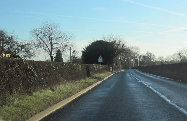
///fuzzy.colonies.culminate. Near Orleton, Herefordshire

Related Wikis

Easton Court railway station

Easton Court railway station was a station in Little Hereford, Herefordshire, England. The station opened on 1 August 1861 as the only intermediate stop...

Leominster Canal

The Leominster Canal was an English canal which ran for just over 18 miles from Mamble to Leominster through 16 locks and a number of tunnels, some of...
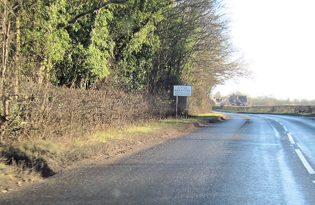
Little Hereford

Little Hereford is a small village and civil parish in Herefordshire, England. The civil parish includes the hamlet of Middleton. The population of the...

Brimfield, Herefordshire

Brimfield is a village and civil parish in north Herefordshire, England. The village lies on the A49 road at the border with Shropshire. To the south,...

Nearby Amenities

Located within 500m of 52.298426,-2.6721627
Barrier: stile
Lat/Long: 52.3018667/-2.6727848
Barrier: stile
Lat/Long: 52.3004868/-2.6737143
Barrier: stile
Lat/Long: 52.2956851/-2.6778144
NunĀ UptonĀ Oak
Tourism: attraction
Tourism 1: tree_site_of
Lat/Long: 52.296709/-2.6752679
Barrier: stile
Lat/Long: 52.2976761/-2.6792102
Generator Method: photovoltaic
Generator Output Electricity: yes
Generator Source: solar
Generator Type: solar_photovoltaic_panel
Location: roof
Power: generator
Lat/Long: 52.3003225/-2.6684627
Generator Method: photovoltaic
Generator Output Electricity: yes
Generator Source: solar
Generator Type: solar_photovoltaic_panel
Location: roof
Power: generator
Lat/Long: 52.2985067/-2.667194
Barrier: stile
Lat/Long: 52.2972275/-2.6778715
The data included in this document is from www.openstreetmap.org. The data is made available under ODbL.

Have you been to Haynall Wood?

Leave your review of Haynall Wood below (or comments, questions and feedback).