Steart

Settlement in Somerset South Somerset

England

Steart

Babcary Church Church of the Holy Cross.
Babcary Church Credit: Barbara Voules

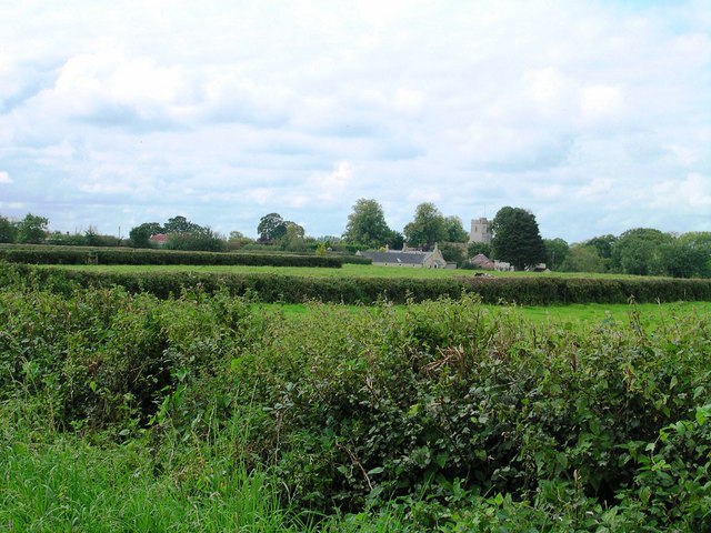
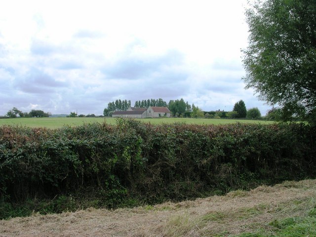
Steart is a small village located in the county of Somerset, England. Situated on the northern edge of the Somerset Levels, it lies approximately 9 miles west of Bridgwater and 6 miles south of Hinkley Point nuclear power station. Steart is part of the Sedgemoor district and falls within the civil parish of Otterhampton.

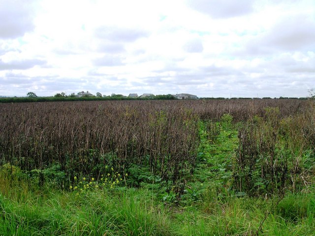
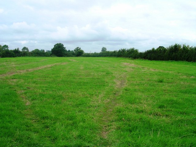
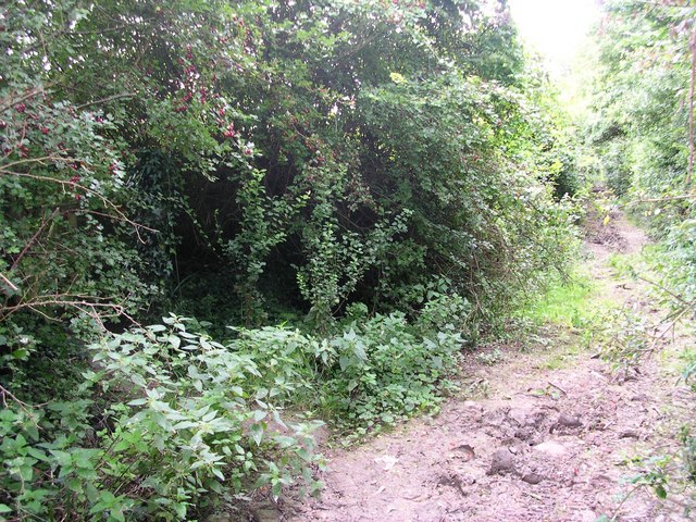
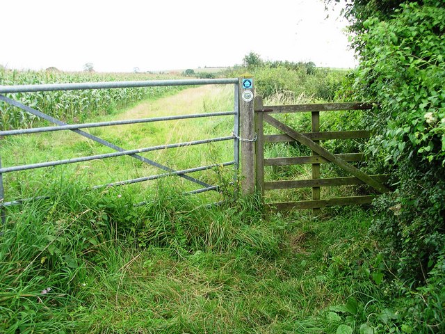
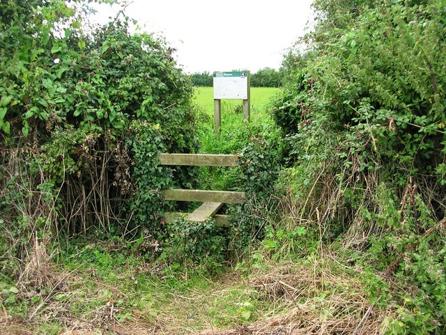
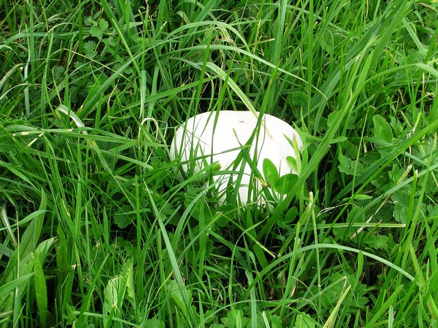
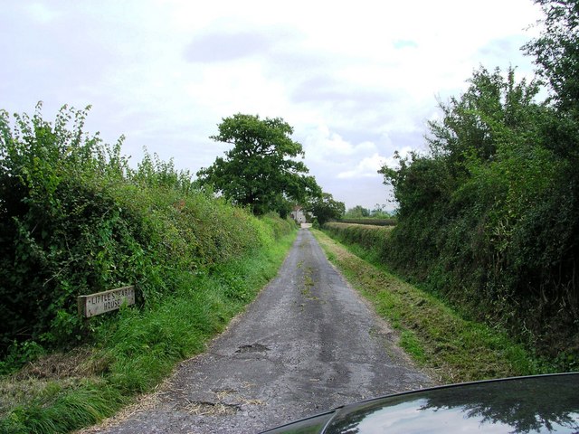
The village is known for its picturesque rural setting, surrounded by flat marshland and stunning views of the Bristol Channel. The area is rich in wildlife and is designated as a Site of Special Scientific Interest (SSSI) due to its importance for birdlife and saltmarsh habitats.

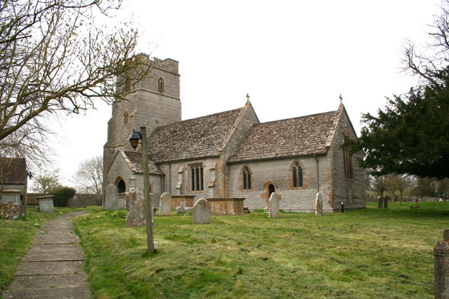
Steart has a population of around 200 people, and its community is tightly-knit and friendly. The village itself is relatively small, with a handful of residential properties, a village hall, and a church. The church, dedicated to St Mary, is a Grade II listed building and dates back to the 13th century, displaying a mix of architectural styles.

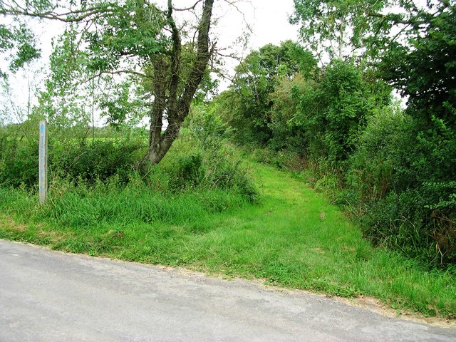
Steart offers a peaceful and tranquil environment for residents and visitors alike. It is a popular destination for nature enthusiasts, birdwatchers, and walkers, who enjoy exploring the surrounding countryside and taking in the natural beauty of the area.

Overall, Steart is a charming village that offers a unique experience for those seeking a peaceful retreat in the heart of the Somerset countryside.

If you have any feedback on the listing, please let us know in the comments section below.
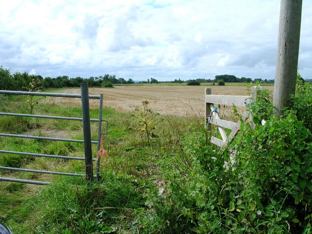
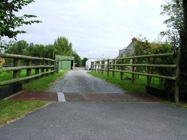
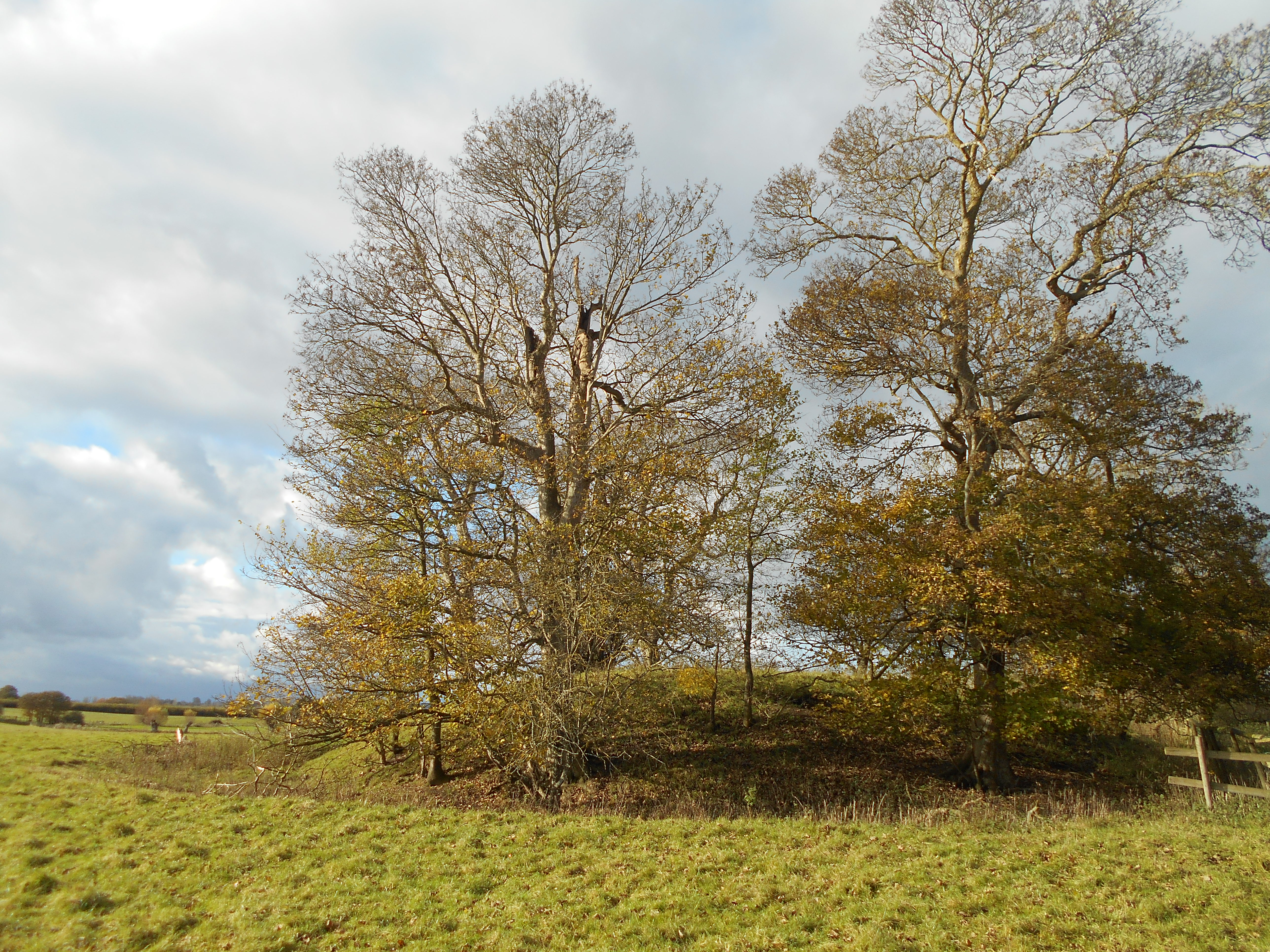
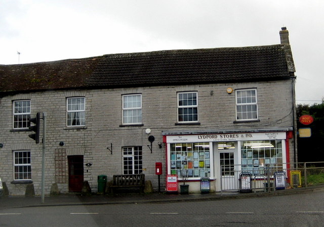
Steart Images

Images are sourced within 2km of 51.047629/-2.626662 or Grid Reference ST5627. Thanks to Geograph Open Source API. All images are credited.

Babcary Church Church of the Holy Cross.
Babcary Church
Church of the Holy Cross.
Road junction A37/Babcary Photo taken from easterly verge facing SSW
Road junction A37/Babcary
Photo taken from easterly verge facing SSW
Farmland from Babcary access road View across farmland from side of Babcary access road with Bush Farm beyond.
Farmland from Babcary access road
View across farmland from side of Babcary access road with Bush Farm beyond.
Bridleway (Westover Lane) Access View from road north up bridleway
Bridleway (Westover Lane) Access
View from road north up bridleway
Red Lion Inn Babcary Roadside view facing East. An old haunt!
Red Lion Inn Babcary
Roadside view facing East. An old haunt!
Ford over River Cary Ford at junction of Westover Lane/Ham's Lane (both public rights of way) and North Street
Ford over River Cary
Ford at junction of Westover Lane/Ham's Lane (both public rights of way) and North Street
Babcary Meadows View from footbridge across River Cary along public footpath across first of the fields that make up Babcary Meadows
Babcary Meadows
View from footbridge across River Cary along public footpath across first of the fields that make up Babcary Meadows
Lydford Lane View down Lydford Lane (Bridleway and Macmillan Way) at junction with public footpath back into Babcary Meadows
Lydford Lane
View down Lydford Lane (Bridleway and Macmillan Way) at junction with public footpath back into Babcary Meadows
Macmillan Way Stile on the Macmillan Way facing east
Macmillan Way
Stile on the Macmillan Way facing east
Stile access to Babcary Meadows Access point from farmland back into Babcary Meadows
Stile access to Babcary Meadows
Access point from farmland back into Babcary Meadows
Babcary Meadows along public footpath View SW down public footpath across Babcary Meadows
Babcary Meadows along public footpath
View SW down public footpath across Babcary Meadows
Fungus in footpath On the public footpath across Babcary Meadows, one of a few, but widely spread
Fungus in footpath
On the public footpath across Babcary Meadows, one of a few, but widely spread
Babcary Church across fields View from North Street Babcary across fields to Babcary Church
Babcary Church across fields
View from North Street Babcary across fields to Babcary Church
Little Steart House View from public road east along lane to Little Steart House
Little Steart House
View from public road east along lane to Little Steart House
Bower's Farm View from public road over hedge and field to Bower's Farm
Bower's Farm
View from public road over hedge and field to Bower's Farm
View across fields and down public footpath View down unsignposted public footpath and across fields towards Cary Fitzpaine
View across fields and down public footpath
View down unsignposted public footpath and across fields towards Cary Fitzpaine
Steart Lane view down public footpath View from field access SW down public footpath across fields
Steart Lane view down public footpath
View from field access SW down public footpath across fields
Steart House Farm View of Steart House Farm from public road
Steart House Farm
View of Steart House Farm from public road
Show me another place!

Steart is located at Grid Ref: ST5627 (Lat: 51.047629, Lng: -2.626662)

Administrative County: Somerset

District: South Somerset

Police Authority: Avon and Somerset

What 3 Words

///eclipses.surfed.tides. Near Ilchester, Somerset

Nearby Locations

Wimble Toot Steart

Related Wikis

Wimble Toot

Wimble Toot is a burial mound or, possibly, a motte built near the village of Babcary, Somerset, England. It is a scheduled ancient monument with a list...

Babcary

Babcary is a village and civil parish in Somerset, England, about 5 miles (8.0 km) east of Somerton and 6 miles (9.7 km) southwest of Castle Cary. The...

Church of the Holy Cross, Babcary

The Anglican Church of the Holy Cross in Babcary, Somerset, England, was built in the 14th century. It is a Grade II* listed building. == History == The...

Babcary Meadows

Babcary Meadows (grid reference ST567293) is a 13.6 hectares (34 acres) biological Site of Special Scientific Interest north of Babcary in Somerset, notified...

Lydford-on-Fosse

Lydford-on-Fosse is a village and civil parish in the Mendip district of Somerset, England. The parish includes the village of West Lydford and hamlet...

The Abbey, Charlton Adam

The Abbey is a Grade I listed building in Somerset, England. Built on the site of a 12th-century chapel, which might be incorporated in fragments, the...

Church of St Peter and St Paul, Charlton Adam

The Church of St Peter and St Paul at Charlton Adam in the parish of Charlton Mackrell, Somerset, England has 14th-century origins, however most of the...
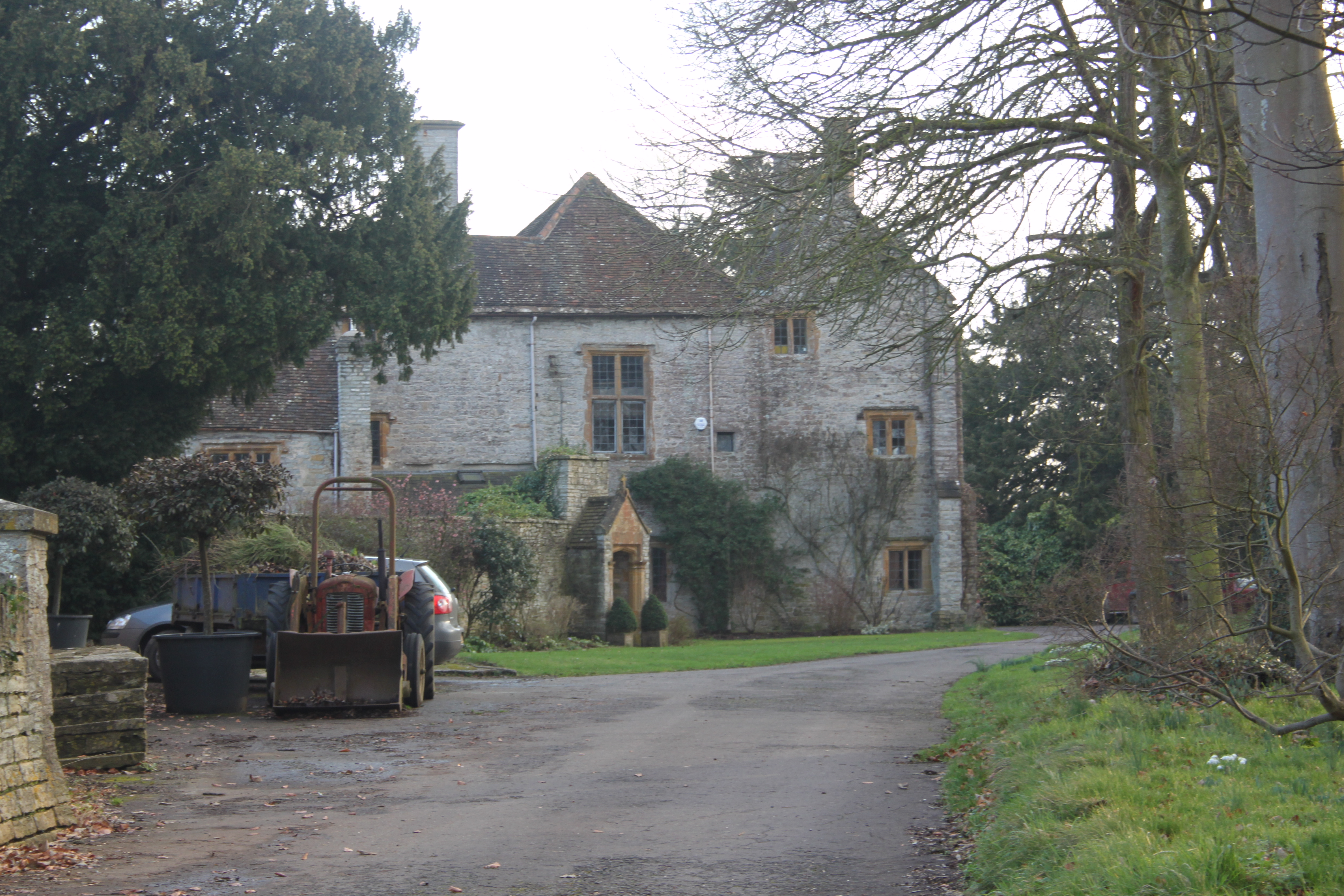
Lytes Cary

Lytes Cary is a manor house with associated chapel and gardens near Charlton Mackrell and Somerton in Somerset, England. The property, owned by the National...

Nearby Amenities

Located within 500m of 51.047629,-2.626662
Barrier: stile
Lat/Long: 51.0492486/-2.6227607
Barrier: stile
Lat/Long: 51.0490868/-2.6227607
Woodlands Farm
Place: farm
Lat/Long: 51.0468751/-2.6256419
The data included in this document is from www.openstreetmap.org. The data is made available under ODbL.

Have you been to Steart?

Leave your review of Steart below (or comments, questions and feedback).